アリエージュのおすすめランニングルート
4.4
(401)
20,167
ランナー
1,437
ランニング
アリエージュでランニングを楽しめば、このエリアをより深く知ることができます。ランニングに適した美しいルートが見つかるように、komootがアリエージュでのルートのコレクション全体を評価して選び抜いた、人気ランニングトレイルをご紹介します。ルートをクリックして詳細を表示し、他のユーザーがアップロードした役立つ情報や写真を閲覧しましょう。
最終更新日: 10月 10, 2026
190
ランナー
18.0km
04:52
1,840m
1,840m
難しいジョギング. 標準以上のフィットネスレベルが必要です。 安定して歩行できる技術、丈夫な靴、高標高地での登山経験が必要です。
4.8
(5)
194
ランナー
11.3km
02:01
750m
750m
難しいジョギング. 標準以上のフィットネスレベルが必要です。 安定して歩行できる技術、丈夫な靴、高標高地での登山経験が必要です。

4.5
(2)
178
ランナー
12.8km
02:23
820m
830m
難しいジョギング. 標準以上のフィットネスレベルが必要です。 安定して歩行できる技術、丈夫な靴、高標高地での登山経験が必要です。
5.0
(1)
116
ランナー
11.7km
02:03
600m
600m
難しいジョギング. 標準以上のフィットネスレベルが必要です。 安定して歩行できる技術、丈夫な靴、高標高地での登山経験が必要です。
27
ランナー
This difficult 13.8-mile (22.2 km) jogging loop to Pic de Tristagne offers rugged alpine terrain and panoramic views.
30
ランナー
11.7km
02:40
1,010m
1,020m
難しいジョギング. 標準以上のフィットネスレベルが必要です。 安定して歩行できる技術、丈夫な靴、高標高地での登山経験が必要です。
30
ランナー
17.0km
02:40
900m
900m
Jog this difficult 10.6-mile (17.0 km) trail in the Orlu National Reserve, gaining 2942 feet (897 metres) to reach Étang d'En Beys.
24
ランナー
難しいジョギング. 標準以上のフィットネスレベルが必要です。 全般的に舗装された状態です。あらゆるスキルレベルに適しています。
10
ランナー
18.1km
03:35
1,230m
1,230m
This difficult 11.3-mile jogging trail in the Pyrénées Ariégeoises offers spectacular mountain panoramas and challenging terrain.
282
ランナー
36.6km
04:57
1,330m
1,330m
難しいジョギング. 標準以上のフィットネスレベルが必要です。 全般的に進みやすいルートです。一部で、安定して歩行できる技術が必要です。
さらに多くのルートや他のユーザーのおすすめ情報を確認できます。
すでにアカウントをお持ちですか?
おすすめのツアーは他のkomootユーザーが実際に経験した何千ものアクティビティに基づいています。
無料アカウントで今日から始めよう
次の冒険が待っています。
アリエージュ周辺で人気
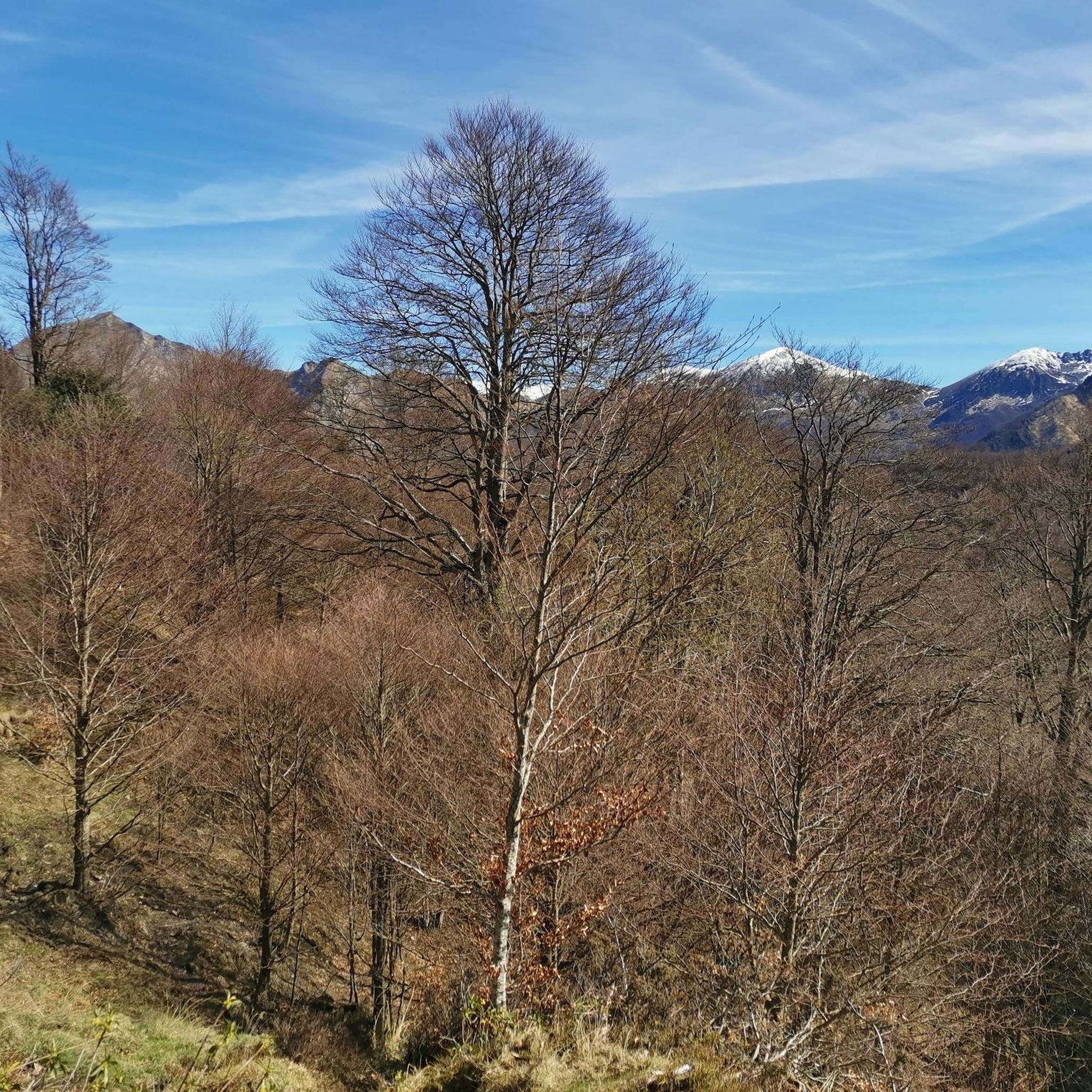
PyrénéesAriégeoisesのランニングコース

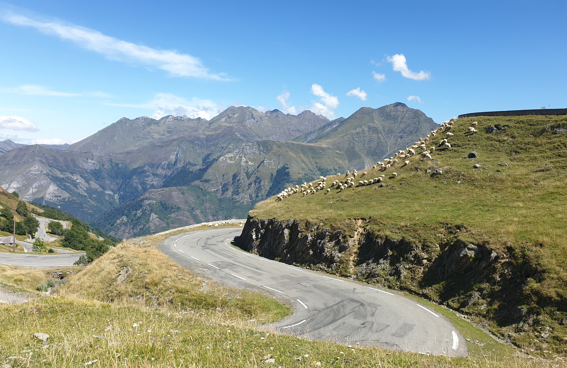
東ピレネー山脈 — GR 10を通じてピレネー山脈を渡る

アリレジェーネューニェーン(Ariège Pyrenees)の门南がるGR 10にる
マットャールにの邦離がなインスの雷座パイルド

パノラミックピレネース – 3,000メートル以上の15のハイカーズピーク

ピレネースクロス – オートルートピレネーヌコレクション: ピレネースクロス – オートルートピレネーヌ
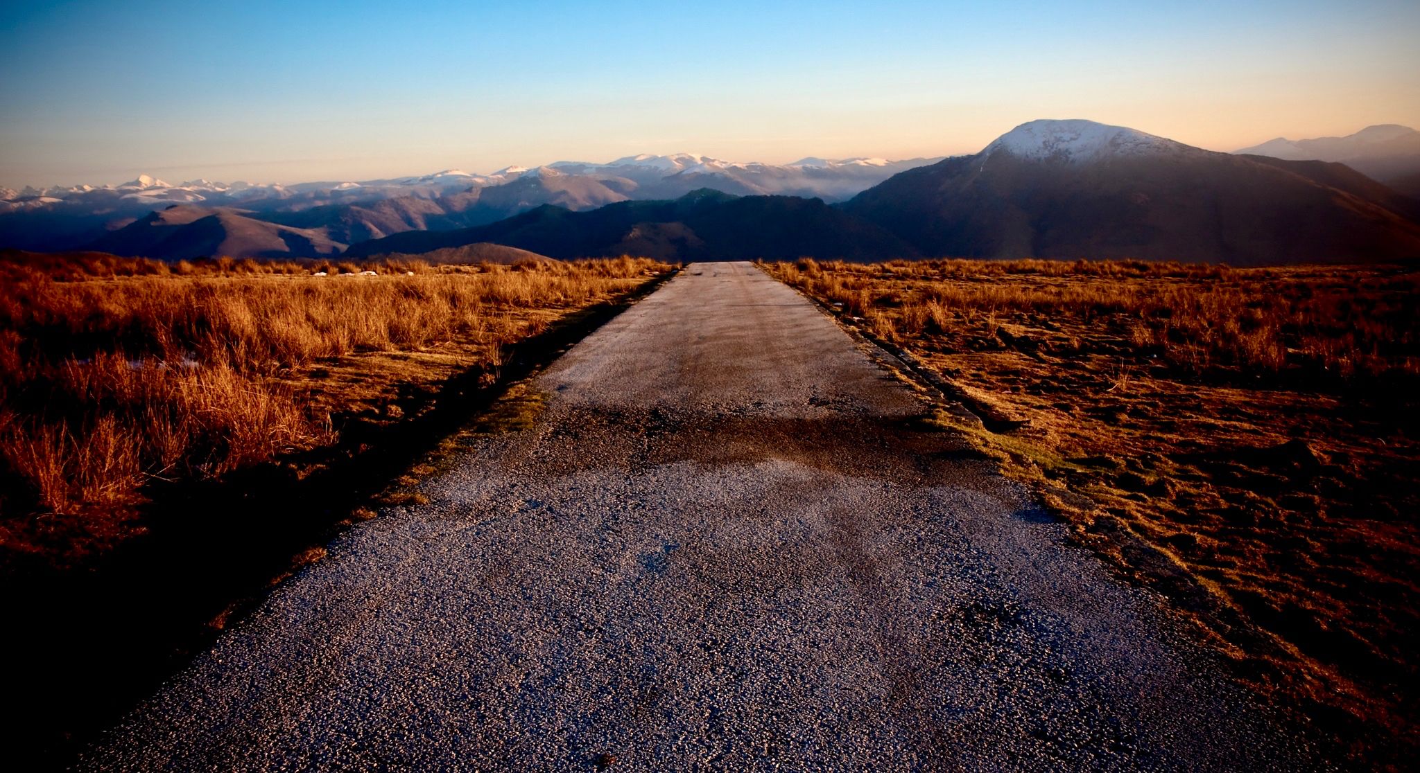
ピレネー山脈を横断するロードバイクで海岸から海岸まで
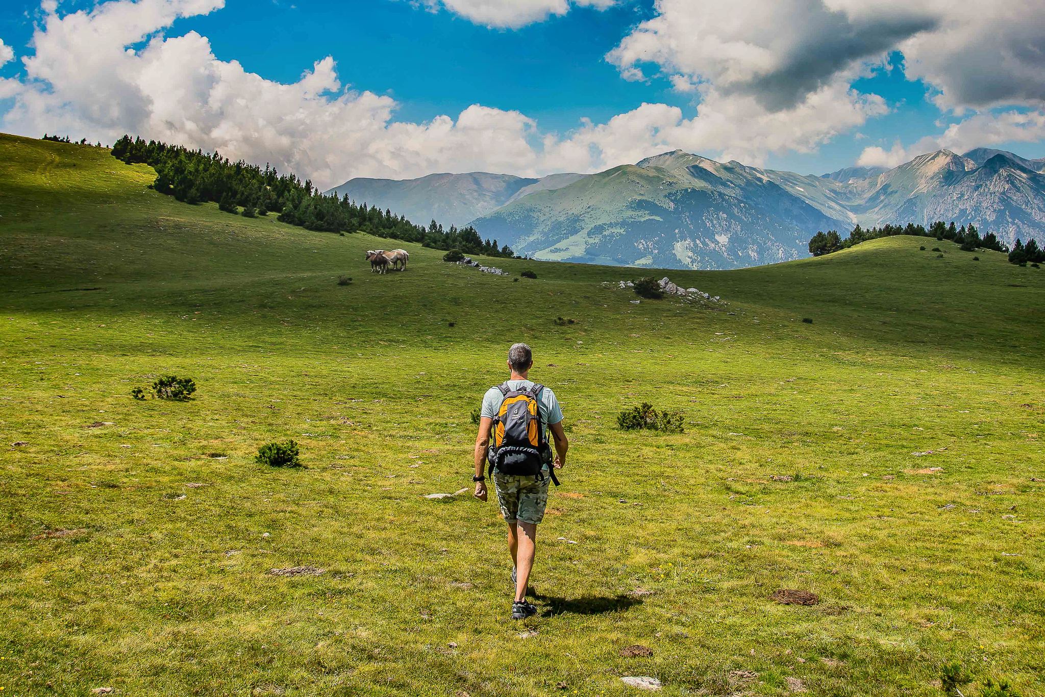
Epic journeys through the Pyrenees – 4 routes connecting 3 countries
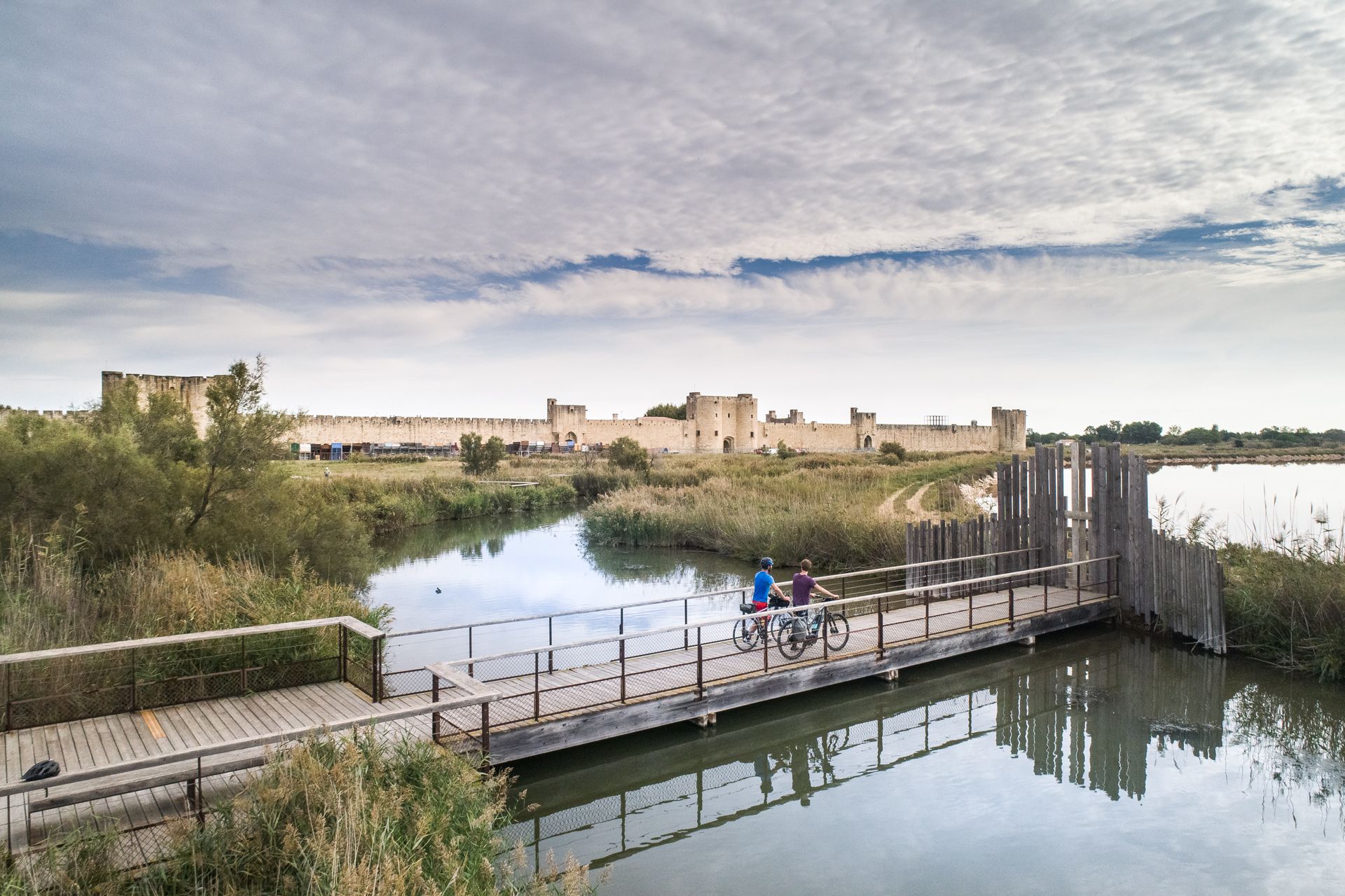
The most beautiful bike rides in Occitanie
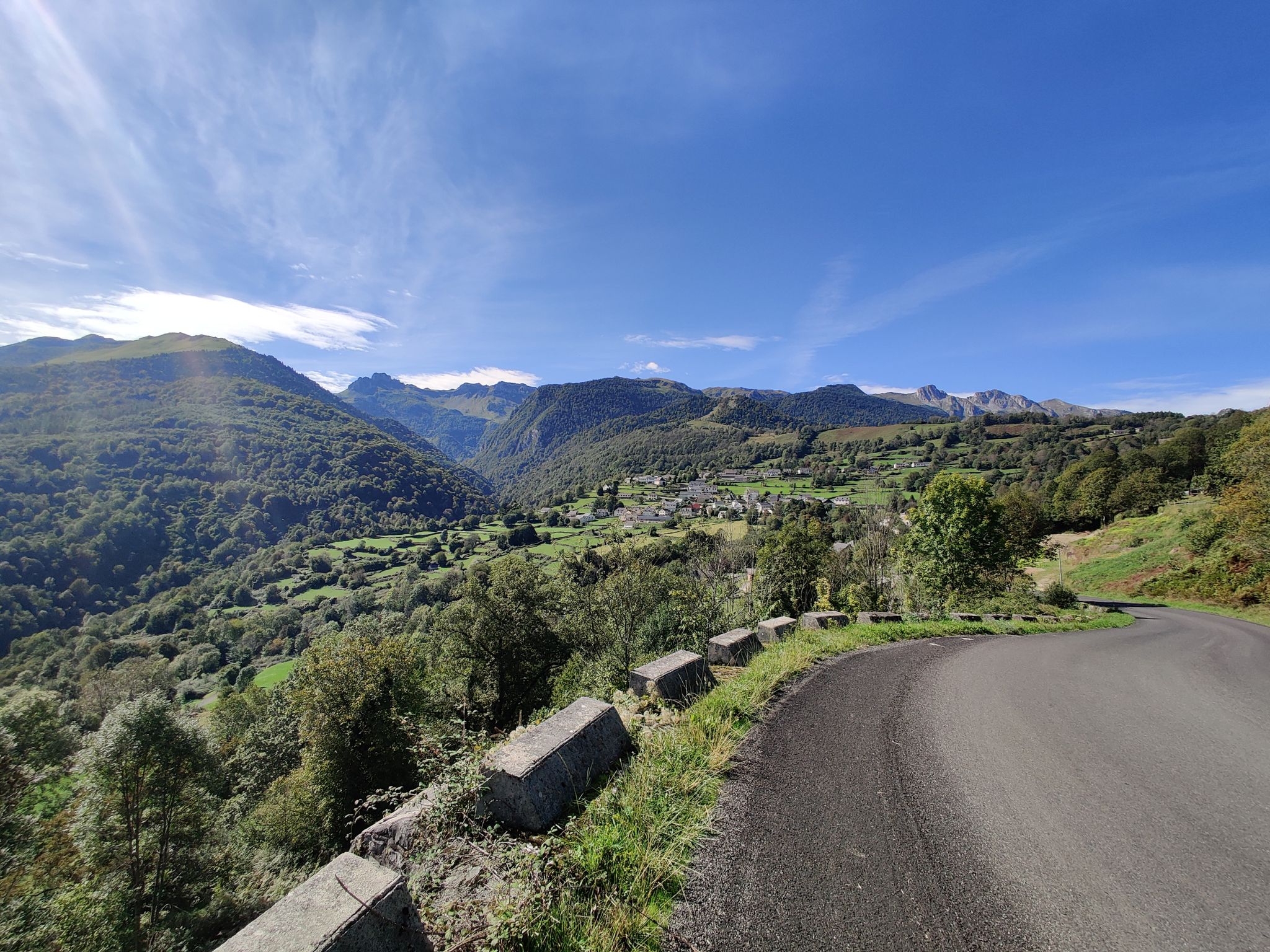
大西洋から地中海まで - ピレネー山脈のルート・デ・コル
アリエージュでのの他の冒険


コミュニティからのヒント

魔法のような場所にある魅力的な避難小屋で、特に谷に光が差し込む夜明けには素晴らしいです。
0
0


Cap du Carmilからは、アリエージュ・ピレネー山脈と周辺の谷の素晴らしいパノラマを楽しめます。登る価値のある眺めです。頂上からは、アリエージュの山々や森の遠くまで見渡せます。広大な自然を愛する人には必見のスポットです。
1
0
頂上の素晴らしい景色。きれいな花と数頭の馬。美しいハイキング、…水を飲むのを忘れないでください
1
0

A magnificent location offering stunning views of the Ariège Pyrenees: the Montcalm Massif, the Bassiès Massif, the Beille Plateau, and more. Easily accessible from Croquié in both summer and winter, provided you're well-equipped and at least a little fit (800m+). Its only drawback: it's very crowded, especially in winter.
1
1

Possibility of bivouac and magnificent natural spectacle by numerous griffon vultures
2
2

国境にある美しく、それほど難しくなく到達できる頂上 🇦🇩🇫🇷😃。ただし、頂上付近では時折簡単なクライミング 😃 が必要です (⚠️ UIAA: I)。 周囲の湖の素晴らしい眺め 😃。
1
0

komootモバイルアプリでインスピレーションを得よう


探していたものは見つかりませんでしたか?
アリエージュの下にある他のランニングトレイル & ルートをチェックして、目的地で完璧なルートを見つけましょう。
さらに探索
他の地域の最高のランニングトレイル & ルートを見てみましょう。
