シェボーンセントジョンのおすすめウォーキング&ハイキングルート
4.6
(659)
4,758
ハイカー
30
ハイキング
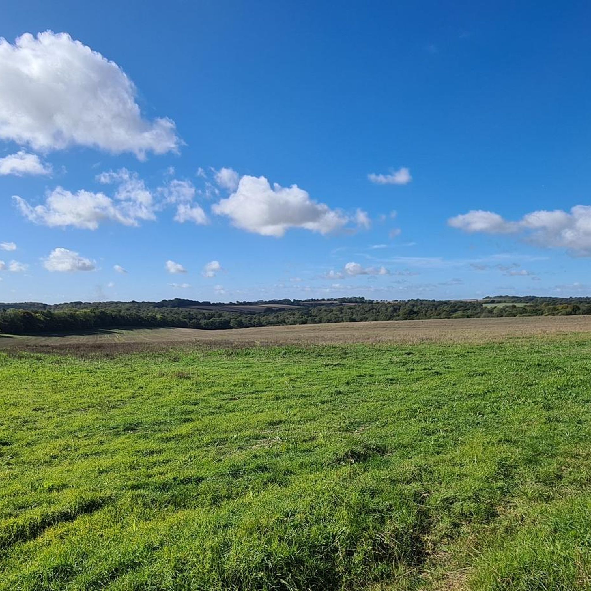
Sherborne St. John 周辺のハイキングでは、古代の森林、広々とした開けた牧草地、歴史的な公園地帯を通る小道が特徴的な、穏やかなハンプシャーの田園地帯を探索します。地形は全体的に平坦で高低差もほとんどないため、さまざまな体力レベルの方でもアクセス可能です。この地域には、多様な景観を提供する、手入れの行き届いたトレイルネットワークがあります。
Sherborne St. John 周辺のベストハイキングトレイル
- 最も人気のあるハイキングルートは、Sherborne St. John からの 2.9 マイル (4.7 km) のトレイルで、所要時間は約 1 時間 15 分です。このルートは、季節ごとのブルーベルの群生で知られる森林を抜けます。 ブルーベルの森 – シェルボーン・セント・ジョンからのザ・ヴァイン・サマーハウス・ループ
- 地元のハイカーに人気のもう一つのルートは、Sherborne St. John からの 7.8 マイル (12.6 km) の中程度のトレイルです。このトレイルは、開けた牧草地を横切り、田舎道の一部に沿っています。 キッシングゲート – シェルボーン・セント・ジョンからのメドウビュー・ループ
- 地元のハイカーに愛されているもう一つのルートは、ザ・ヴァイン邸の敷地内を通る 1.5 マイル (2.4 km) のトレイルで、所要時間は約 40 分です。 シェルボーン・セント・ジョンからのザ・ヴァイン・サマーハウス・ループ
- Sherborne St. John 周辺のハイキングは、森林の小道、歴史的な公園地帯を通る散策、そして開けた野原を横切るトレイルが特徴です。Sherborne St. John の周回ウォーキングネットワークは、短くて簡単な散策から、より長く中程度のハイキングまで、さまざまなオプションを提供します。
- Sherborne St. John のルートは、komoot コミュニティから高く評価されており、500 件以上のレビューで平均 4.6 星を獲得しています。4000 人以上のハイカーが komoot を利用して、Sherborne St. John の変化に富んだ地形を探索しました。
最終更新日: 8月 27, 2026
4.8
(10)
41
ハイカー
6.92km
01:47
30m
30m
初級者向けハイキング. あらゆるフィットネスレベルに適しています。 進みやすいルートです。あらゆるスキルレベルに適しています。
4.2
(6)
231
ハイカー
4.59km
01:11
30m
30m
初級者向けハイキング. あらゆるフィットネスレベルに適しています。 進みやすいルートです。あらゆるスキルレベルに適しています。

無料新規登録
5.0
(1)
45
ハイカー
3.07km
00:47
10m
10m
初級者向けハイキング. あらゆるフィットネスレベルに適しています。 進みやすいルートです。あらゆるスキルレベルに適しています。
4.6
(5)
17
ハイカー
12.8km
03:20
80m
80m
中程度のハイキング. ある程度のフィットネスレベルが必要です。 進みやすいルートです。あらゆるスキルレベルに適しています。
5.0
(7)
24
ハイカー
5.56km
01:26
30m
30m
初級者向けハイキング. あらゆるフィットネスレベルに適しています。 進みやすいルートです。あらゆるスキルレベルに適しています。
さらに多くのルートや他のユーザーのおすすめ情報を確認できます。
無料新規登録
すでにアカウントをお持ちですか?
おすすめのツアーは他のkomootユーザーが実際に経験した何千ものアクティビティに基づいています。
無料アカウントで今日から始めよう
次の冒険が待っています。
ログインまたは登録

コミュニティからのヒント


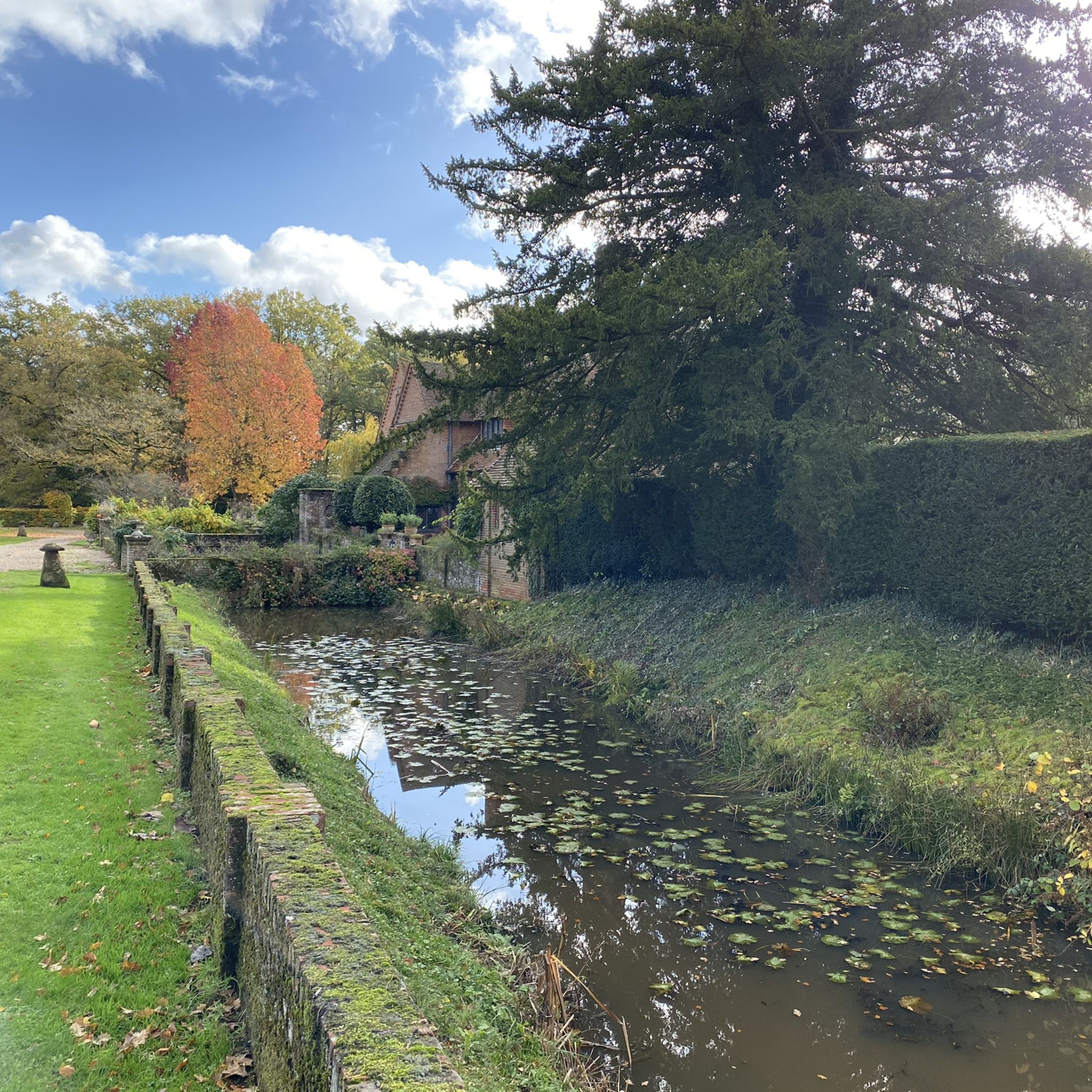
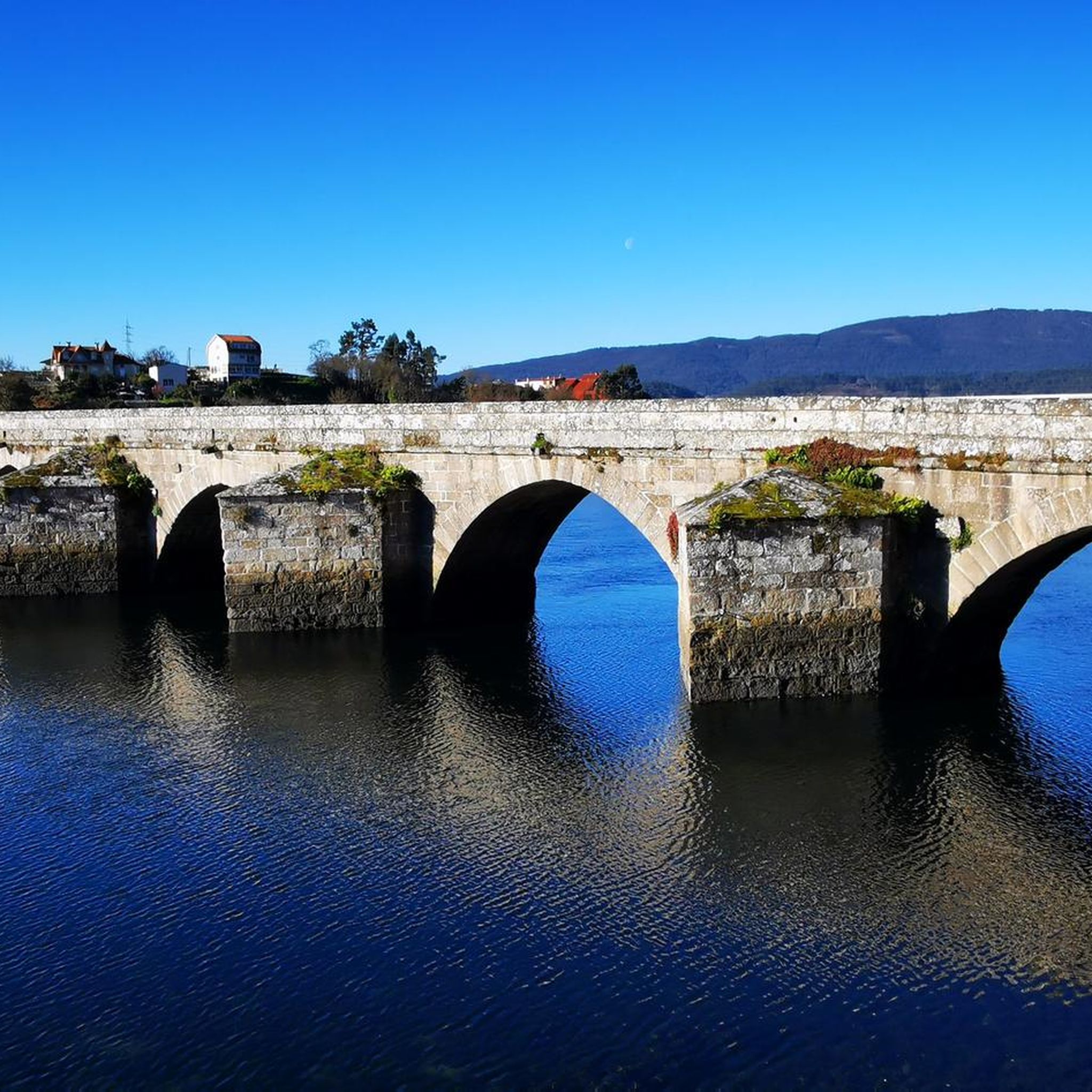
Our local NT place we go here often. Morgaston woodland walks out of the back gate where you will also find a hide overlooking wetlands. Secure bike parking limited. Suggestion attach to wooden fence by reception and we will keep an eye on it but can’t be responsible. Highlight for us in this house is the chapel. Lovely lake but rebuilding work to a bridge in progress at the moment
0
0


Like many historic buildings, The Vyne’s roof is visited by hundreds of bats. In fact, it’s been home to at least five species during our huge £5.4 million roof project, including a maternity roost of whiskered bats in the Tudor chapel roof. Bat ladders & bunkers To make sure that bats can still access the attic space in winter, our carpenters created 15 ‘bat ladders’ which were inserted into the roof. These small, V-shaped wooden tunnels sit behind the tiles and allow bats to climb through the insulation to the attic space inside. https://www.nationaltrust.org.uk/the-vyne/features/how-are-bats-protected-during-the-vyne-roof-project
0
0
The Vyne is a 16th-century country house outside Sherborne St John near Basingstoke in Hampshire, England. The Vyne was built for Lord Sandys, King Henry VIII's Lord Chamberlain. The house retains its Tudor chapel, with stained glass. The classical portico on the north front was added in 1654 by Inigo Jones's pupil John Webb. In the mid-eighteenth century, The Vyne belonged to Horace Walpole's close friend John Chaloner Chute, who designed the Palladian staircase, whose magnificent apparent scale belies its actual small size. The Vyne was bequeathed by its final Chute owner, Sir Charles Chute, to the National Trust in 1956. Each year a number of concerts, plays and family events are run. The grounds contain large woodland and a wetlands nesting site populated by swans and common redshanks. There are a number of woodlands, wetland and parkland walking trails. Dogs are welcome into the grounds (on leads), in Morgaston Woods and the Organic Parklands (under direct control). https://en.wikipedia.org/wiki/The_Vyne
0
0
The story begins with Speaker Chute who, in 1635 built two summerhouses in the grounds to the east of the house. The summerhouses would have likely been the focus of a 17-century garden design and were two of the first British garden buildings. The red brick buildings took the shape of a Greek cross with four doors and a central chamber. Only one of the summerhouses remains, its twin being removed by 1776. Today, the remaining summerhouse forms the focus of a formal garden with beds which reflect the shape of the summerhouse itself. The bedding plants are chosen to complement the shades of the summerhouse during the seasons and the garden is enclosed by a yew hedge. https://www.nationaltrust.org.uk/the-vyne/features/brief-history-of-the-vyne-gardens
0
0
シェボーンセントジョンでのの人気観光スポット

komootモバイルアプリでインスピレーションを得よう


さらに探索
他の地域の最高のハイキングを見てみましょう。
