ヘドソルのおすすめランニングルート
4.4
(204)
13,333
ランナー
643
ランニング
ヘドソルでランニングを楽しめば、このエリアをより深く知ることができます。ランニングに適した美しいルートが見つかるように、komootがヘドソルでのルートのコレクション全体を評価して選び抜いた、人気ランニングトレイルをご紹介します。ルートをクリックして詳細を表示し、他のユーザーがアップロードした役立つ情報や写真を閲覧しましょう。
最終更新日: 10月 10, 2026
3.0
(2)
19
ランナー
8.12km
00:55
60m
60m
Embark on a moderate jogging adventure along the Cookham and Cock Marsh Walk, covering 5.0 miles (8.1 km) with a gentle ascent of 197 feet (60 metres). You can expect…
6
ランナー
6.12km
00:41
60m
60m
中程度のジョギング. ある程度のフィットネスレベルが必要です。 全般的に舗装された状態です。あらゆるスキルレベルに適しています。

56
ランナー
15.9km
01:46
30m
30m
難しいジョギング. 標準以上のフィットネスレベルが必要です。 全般的に舗装された状態です。あらゆるスキルレベルに適しています。
24
ランナー
13.7km
01:27
40m
40m
中程度のジョギング. ある程度のフィットネスレベルが必要です。 全般的に舗装された状態です。あらゆるスキルレベルに適しています。
5.0
(1)
48
ランナー
8.57km
00:58
10m
10m
中程度のジョギング. ある程度のフィットネスレベルが必要です。 全般的に舗装された状態です。あらゆるスキルレベルに適しています。
さらに多くのルートや他のユーザーのおすすめ情報を確認できます。
すでにアカウントをお持ちですか?
おすすめのツアーは他のkomootユーザーが実際に経験した何千ものアクティビティに基づいています。
無料アカウントで今日から始めよう
次の冒険が待っています。
コミュニティからのヒント


Nice place for a coffee stop in Marlow, a few outside tables available to easier to sit near the bikes. Didn’t have any food on this occasion but looked like a great selection (yummy looking breakfasts as well as cakey items)
1
0

It is not so common for a Christian place of worship – which encompasses the whole of heaven – to be dedicated to “ALL SAINTS”. Usually it is one (or occasionally two) named saints who hold the patronage of a church – and thus usually also of the parish or town in which it is located. But to find the origin of such a dedication, one has to go far back in history, because the model for this practice of dedication to ALL SAINTS can be seen as a pagan custom, according to which there were already central temples in pre-Christian times that were dedicated to all deities (PANTHEON). The probably most famous Pantheon, formerly a pagan temple and now a Christian place of worship, is located in the Italian capital.
0
0

Boulter's Lock is a lock and weir situated on the River Thames near Maidenhead. The lock was built in 1912 and features some very picturesque surroundings of canalboats, an old bridge, and some lush greenery.
1
0

Winter Hill is a steep chalk escarpment offering amazing views over the Thames Valley. It's believed that historically the hill and high land here were used for winter pasture for animals during times of flooding. The evidence of human inhabitation, farming and land use dates back 350,000 years to the old stone age. There are also Bronze Age burial mounds and Roman pottery discovered in the area. Bourne End station isn't far away, and you can run an enjoyable loop across Cookham Common, Winter Hill and along the Thames Path.
1
0
Bourne End Railway Bridge was originally a wooden bridge designed by Brunel in the 1850's. The narrow spans used were unpopular with the river traffic, so it was re-designed and made in steel in 1895. A footbridge was added in 1992 replacing a ferry that crossed a little further upstream. It's a useful crossing point allowing access for runners to the National Trust managed Cookham Common on the west bank. The Thames Path long distance trail also crosses the bridge on its journey from Wiltshire to London.
1
0
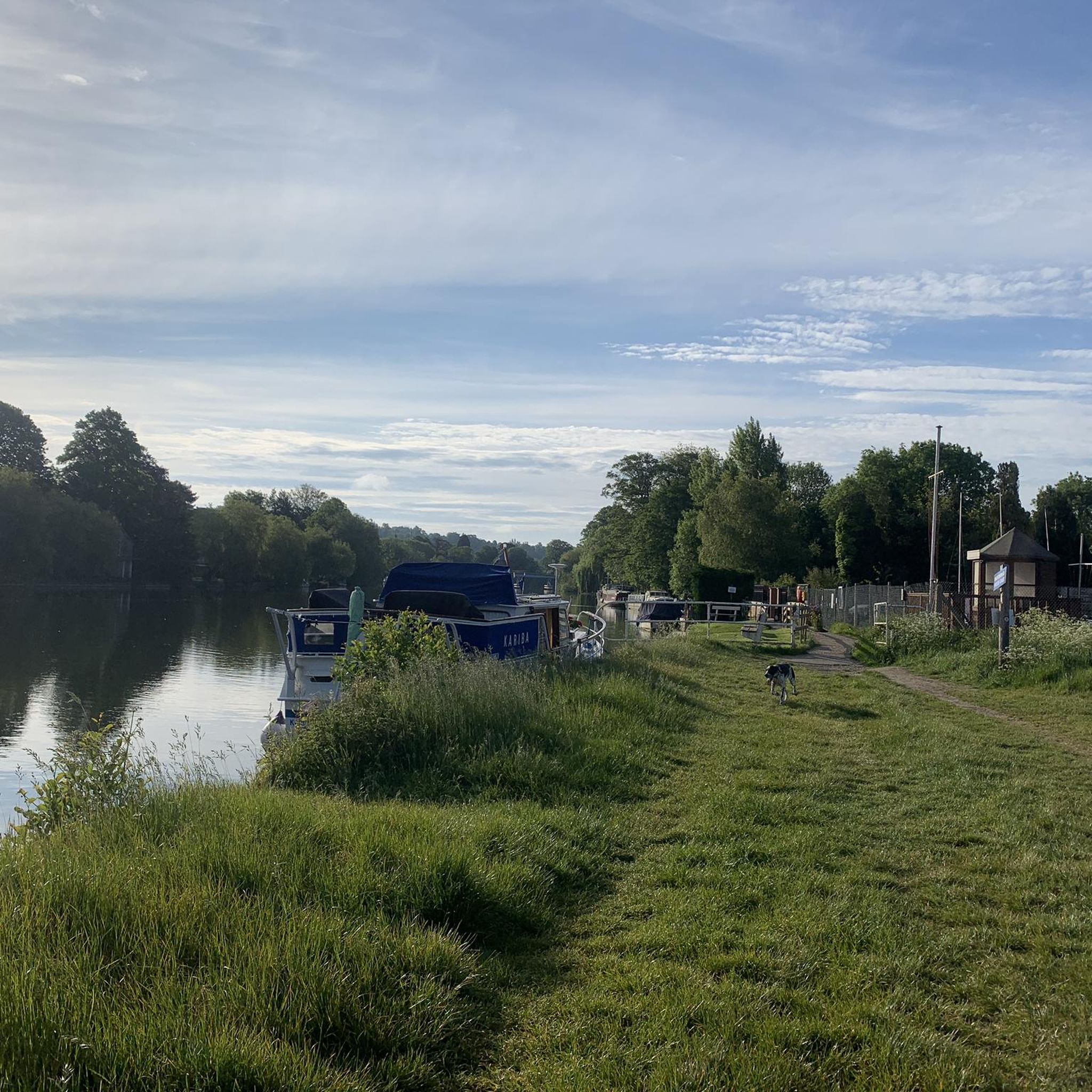
The Thames Path is a long-distance National Trail that runs from the source of the Thames in the Cotswolds to Woolwich in London. It's 185 miles (298 km) long if you fancy running the whole thing. This section of wonderfully flat running on an easy trail follows the Thames from Cookham in the south to Bourne End railway and pedestrian bridge. The Thames Path crosses here and continues on the north bank if you are running further. National Trust properties Cock Marsh and the Cookham Commons lie to the west, with areas of higher land in this mostly flat landscape. It's great for running and rich in wildlife.
1
0
Perfect flat section of running alongside the inspirational River Thames.
0
0
ヘドソルでのの人気観光スポット

komootモバイルアプリでインスピレーションを得よう


さらに探索
他の地域の最高のランニングトレイル & ルートを見てみましょう。
