トリンのおすすめランニングルート
4.4
(169)
5,152
ランナー
161
ランニング
トリンでランニングを楽しめば、このエリアをより深く知ることができます。ランニングに適した美しいルートが見つかるように、komootがトリンでのルートのコレクション全体を評価して選び抜いた、人気ランニングトレイルをご紹介します。ルートをクリックして詳細を表示し、他のユーザーがアップロードした役立つ情報や写真を閲覧しましょう。
最終更新日: 8月 31, 2026
37
ランナー
18.1km
02:01
150m
150m
難しいジョギング. 標準以上のフィットネスレベルが必要です。 全般的に舗装された状態です。あらゆるスキルレベルに適しています。
31
ランナー
9.19km
01:02
70m
70m
中程度のジョギング. ある程度のフィットネスレベルが必要です。 全般的に舗装された状態です。あらゆるスキルレベルに適しています。

無料新規登録
14
ランナー
3.47km
00:22
30m
30m
初級者向けランニング. あらゆるフィットネスレベルに適しています。 全般的に舗装された状態です。あらゆるスキルレベルに適しています。
8
ランナー
5.48km
00:38
110m
110m
中程度のジョギング. ある程度のフィットネスレベルが必要です。 全般的に舗装された状態です。あらゆるスキルレベルに適しています。
5.0
(1)
10
ランナー
4.81km
00:32
60m
60m
初級者向けランニング. あらゆるフィットネスレベルに適しています。 全般的に舗装された状態です。あらゆるスキルレベルに適しています。
さらに多くのルートや他のユーザーのおすすめ情報を確認できます。
無料新規登録
すでにアカウントをお持ちですか?
おすすめのツアーは他のkomootユーザーが実際に経験した何千ものアクティビティに基づいています。
無料アカウントで今日から始めよう
次の冒険が待っています。
ログインまたは登録
トリン周辺で人気
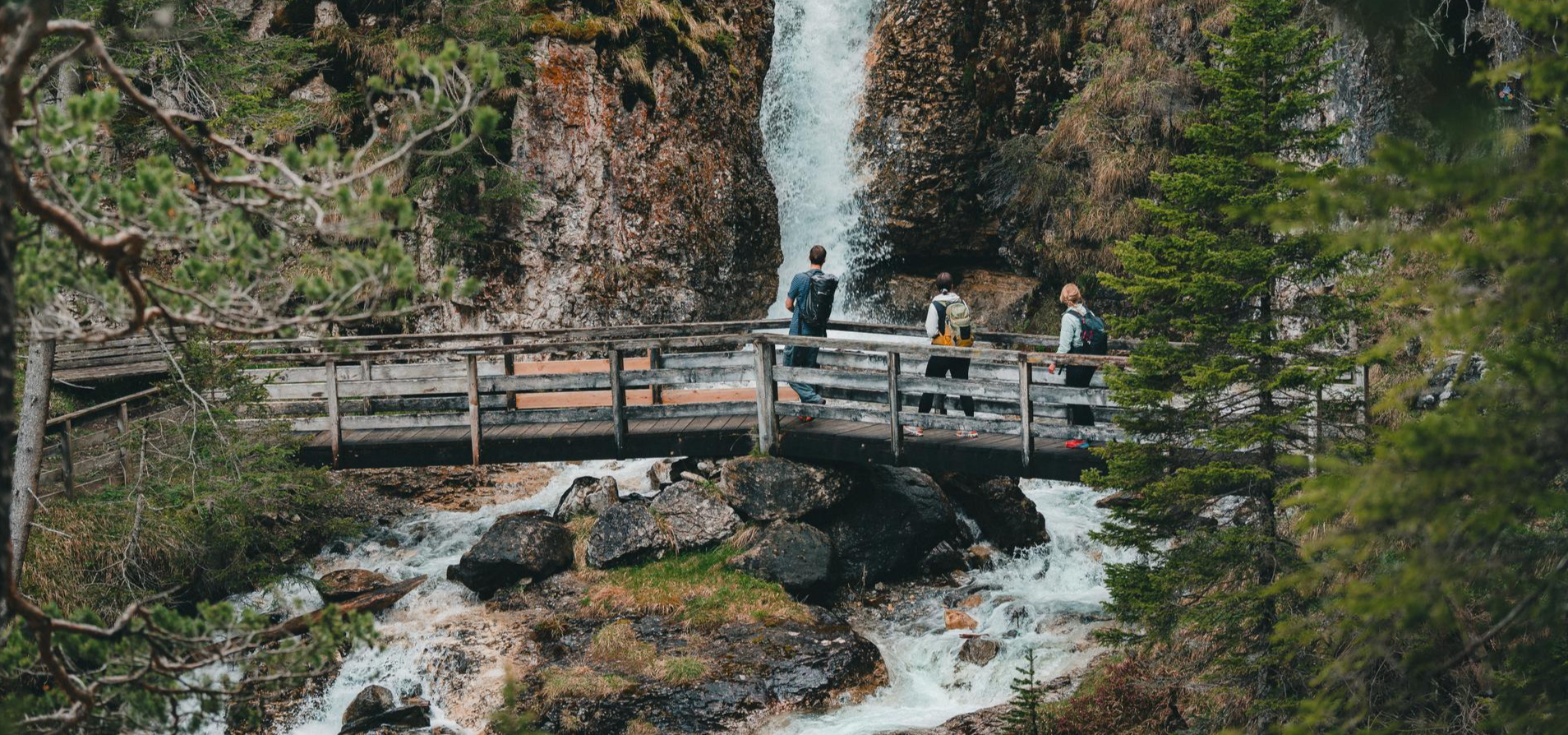
Idyllic mountain lakes and rushing waterfalls – hiking in the Wipptal
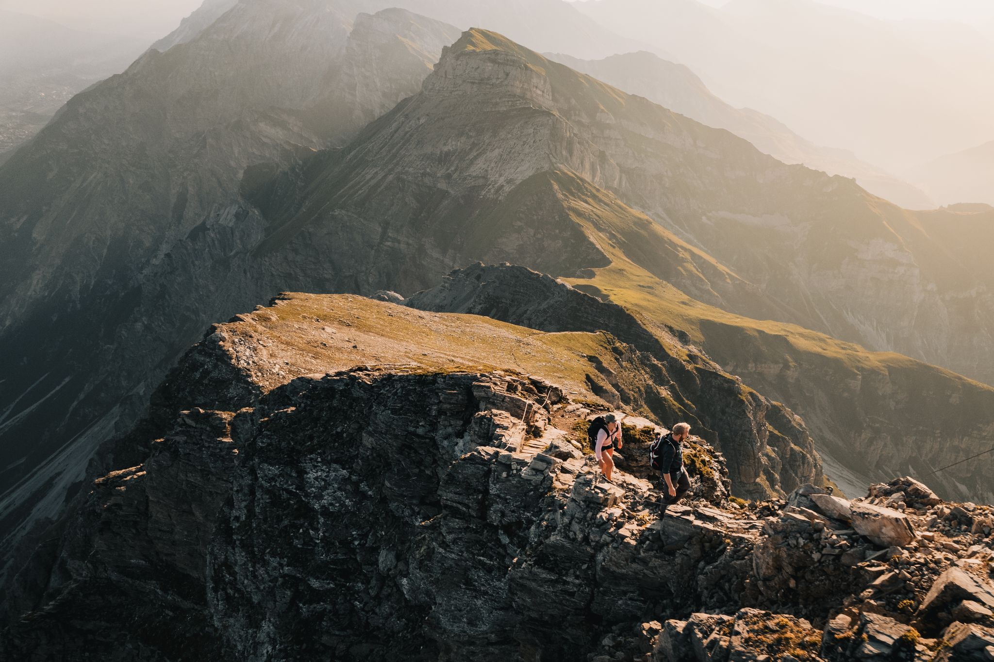
Pedals and Paths – Beautiful E-Bike & Hike Tours in the Wipptal
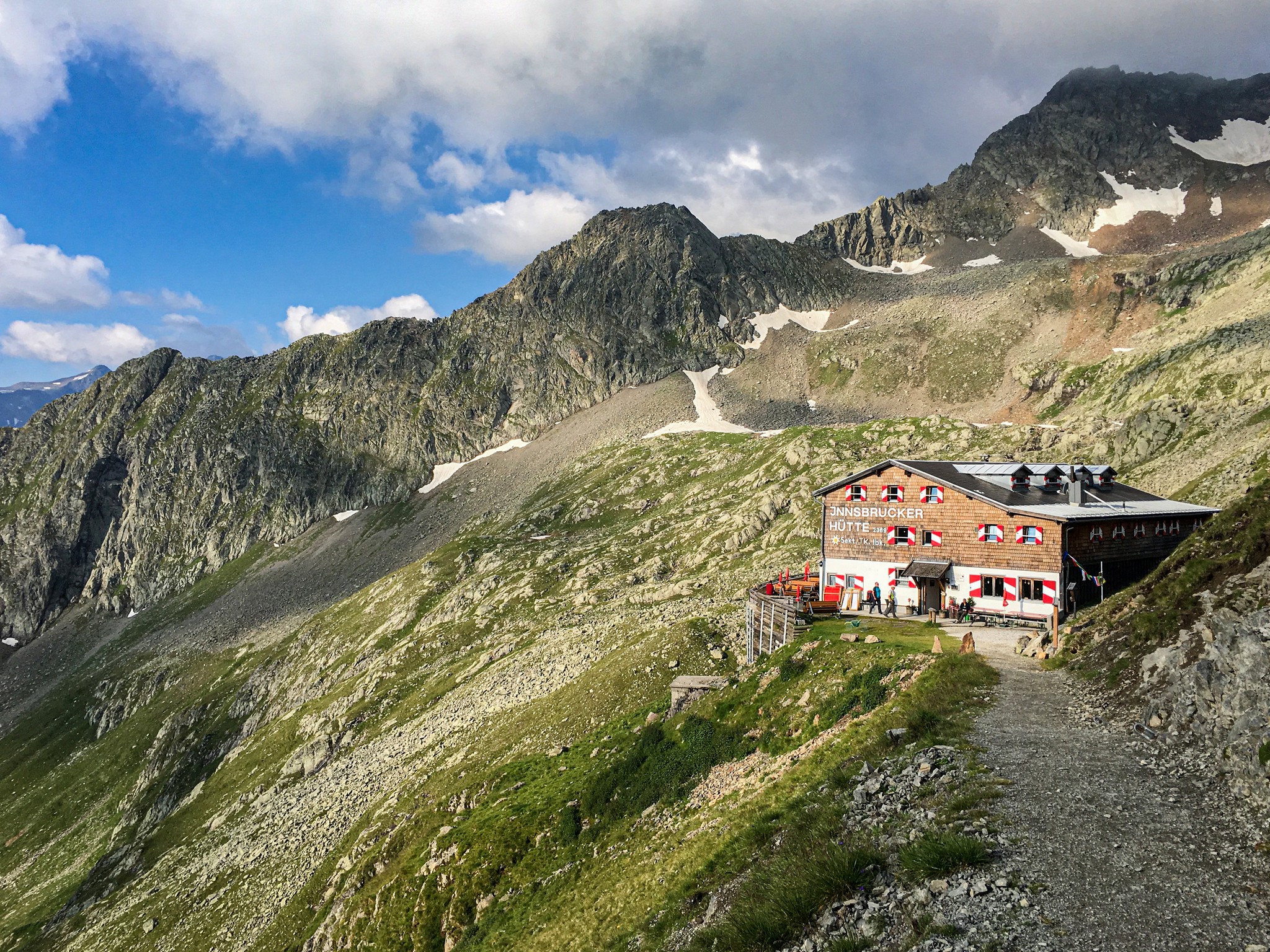
Gschnitztal Hüttenstern – 6 glorious day hikes to mountain huts
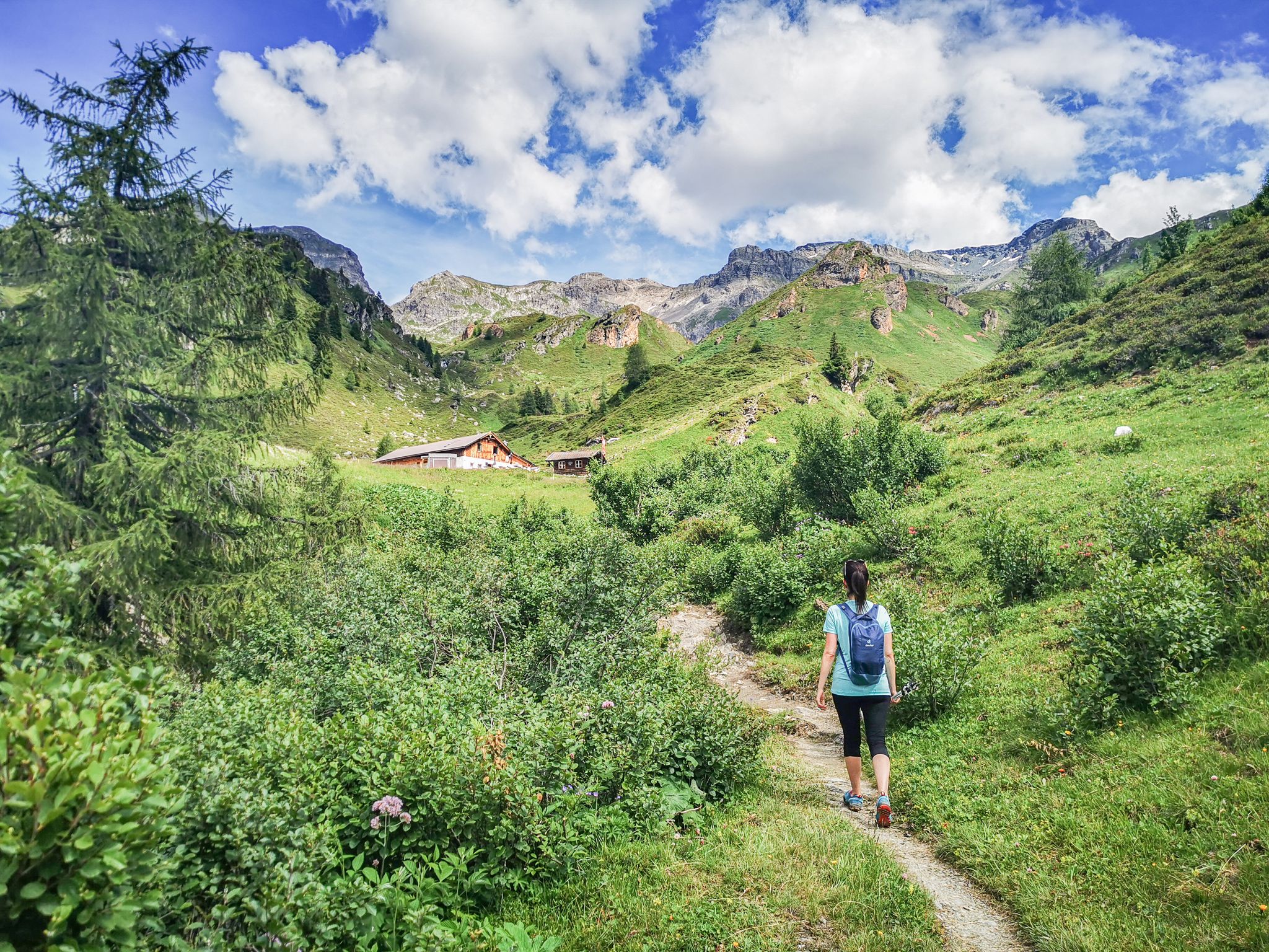
5 culinary alpine and hut hikes in Austria's Wipptal
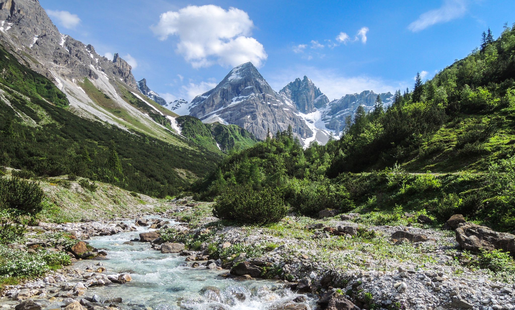
A journey of discovery in Tyrol – hidden places in the Wipptal Valley
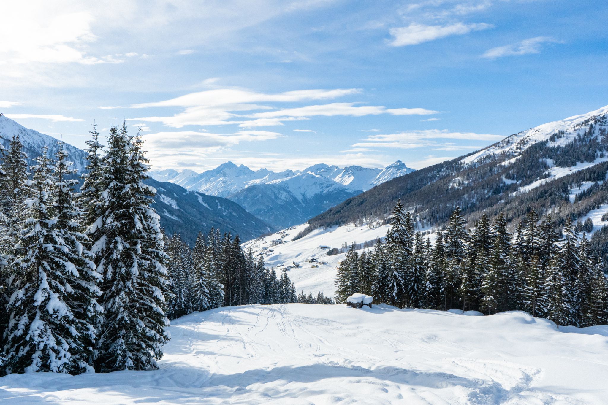
Your winter in Austria’s Wipptal Valley: 10 tips for adventuring in the snow
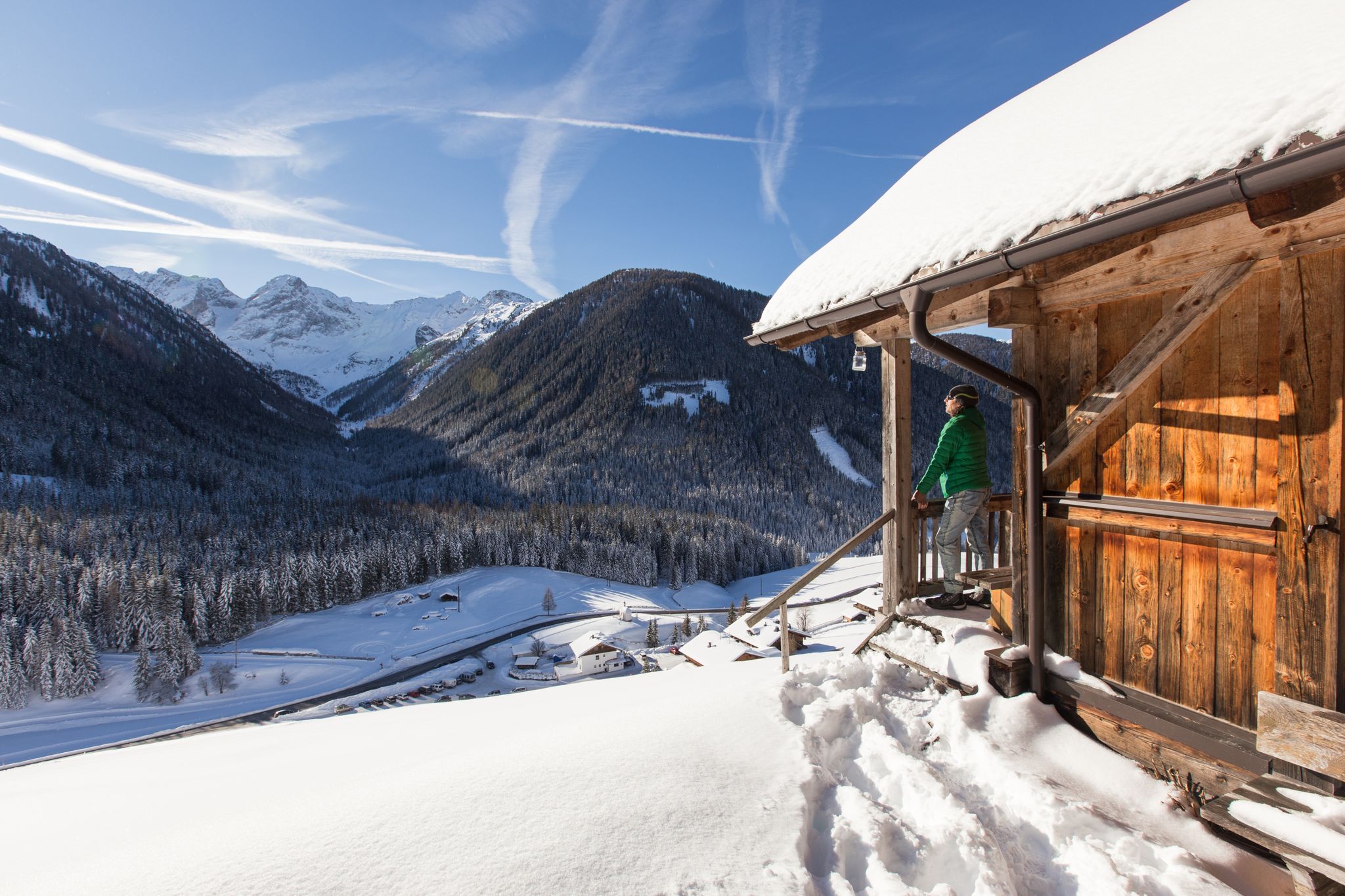
Winter highlights in Tyrol for everyone's taste
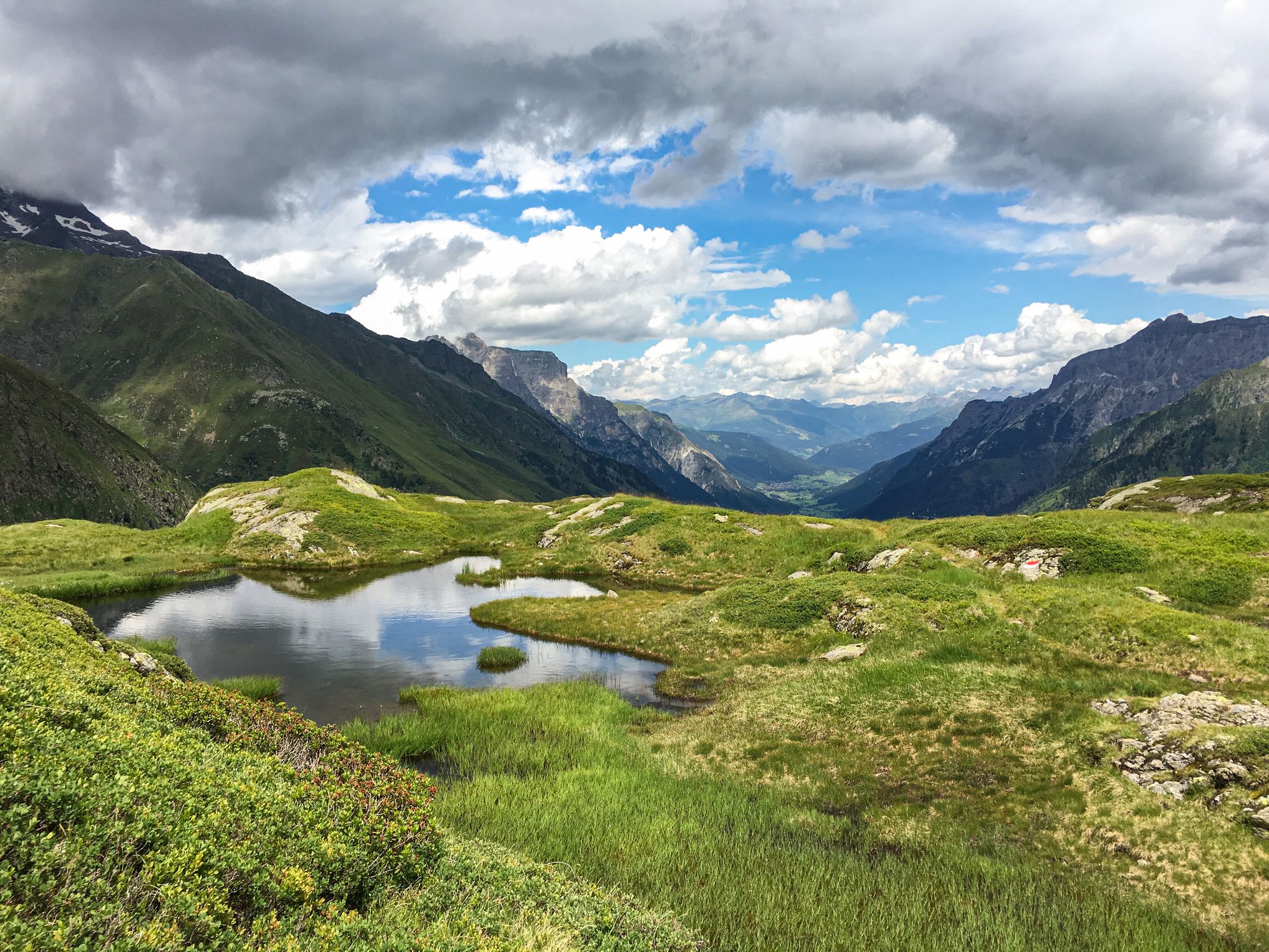
Lonely lakes and thundering waterfalls – magical places in the Wipp Valley
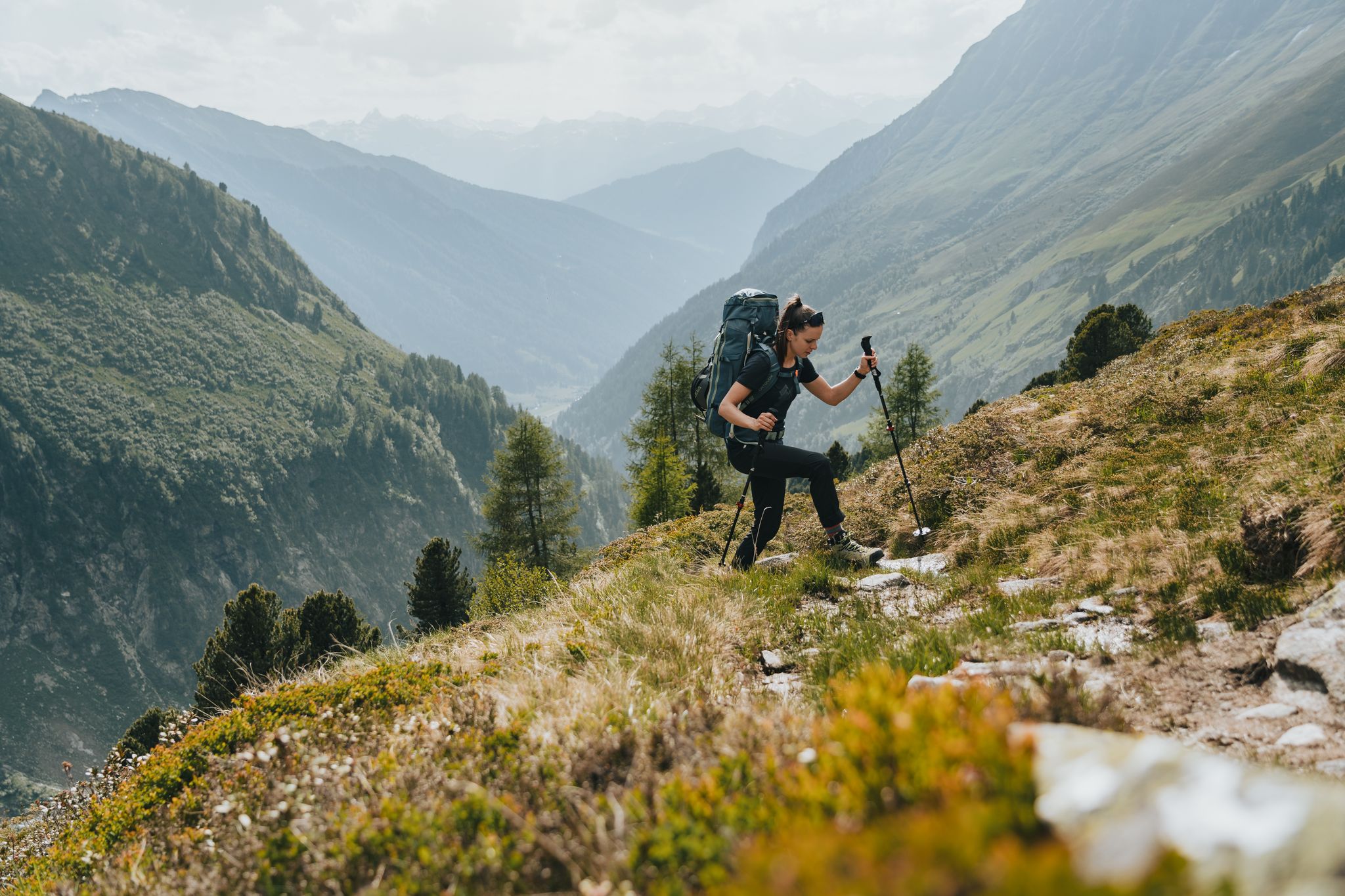
Fünf kulinarische Alm- und Hüttenwanderungen im Wipptal
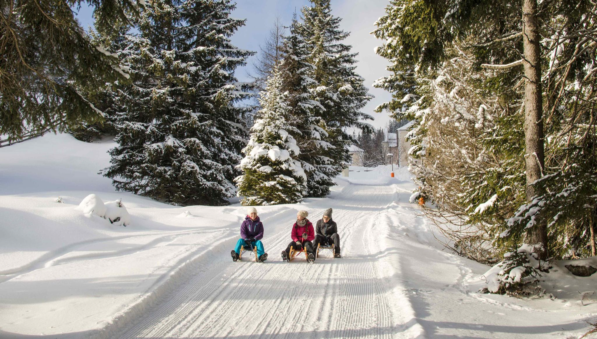
Rodelspaß und urige Hütten – Winterzauber Wipptal


コミュニティからのヒント

Schneeberg Castle was first mentioned in documents in 1297. Parts of the defensive wall and the striking round tower still exist from this period. In 1571, the medieval complex was converted into a Renaissance castle. A devastating fire destroyed it in 1771, and the ruins were then converted into a castle-like residence. Today it is privately owned and can only be viewed from the outside.
3
0


Delicious refreshments right on the edge of the path. Also recommended for an alcoholic cold drink after work 😉
0
0

A really cozy stop on a beautiful (bike) path through the valley.
0
0

Magical hiking trail in the Gschnitztal. If you're out and about in early summer, keep an eye out for the many species of orchids that grow here. In winter, the landscape around you is under a layer of cotton candy that glitters in the sun.
2
0
Small and cozy rest stop. The friendly innkeepers will be happy to spoil you with their down-to-earth cuisine.
1
0


komootモバイルアプリでインスピレーションを得よう


さらに探索
他の地域の最高のランニングトレイル & ルートを見てみましょう。
