ザルツブルクのおすすめランニングルート
4.4
(3505)
115,819
ランナー
3,451
ランニング
ザルツブルクでランニングを楽しめば、このエリアをより深く知ることができます。ランニングに適した美しいルートが見つかるように、komootがザルツブルクでのルートのコレクション全体を評価して選び抜いた、人気ランニングトレイルをご紹介します。ルートをクリックして詳細を表示し、他のユーザーがアップロードした役立つ情報や写真を閲覧しましょう。
最終更新日: 10月 10, 2026
4.5
(84)
3,308
ランナー
11.9km
01:20
110m
110m
中程度のジョギング. ある程度のフィットネスレベルが必要です。 全般的に舗装された状態です。あらゆるスキルレベルに適しています。
4.8
(8)
460
ランナー
26.3km
03:38
1,110m
1,110m
難しいジョギング. 標準以上のフィットネスレベルが必要です。 安定して歩行できる技術、丈夫な靴、高標高地での登山経験が必要です。

4.2
(5)
223
ランナー
18.7km
04:05
1,680m
1,680m
難しいジョギング. 標準以上のフィットネスレベルが必要です。 安定して歩行できる技術、丈夫な靴、高標高地での登山経験が必要です。
3.6
(5)
193
ランナー
6.66km
00:47
160m
160m
中程度のジョギング. ある程度のフィットネスレベルが必要です。 全般的に舗装された状態です。あらゆるスキルレベルに適しています。
4.7
(66)
2,530
ランナー
11.8km
01:22
130m
130m
難しいジョギング. ある程度のフィットネスレベルが必要です。 安定して歩行できる技術、丈夫な靴、高標高地での登山経験が必要です。
4.7
(7)
124
ランナー
8.90km
01:18
390m
390m
難しいジョギング. 標準以上のフィットネスレベルが必要です。 安定して歩行できる技術、丈夫な靴、高標高地での登山経験が必要です。
5.0
(2)
93
ランナー
40.5km
06:05
1,950m
2,480m
難しいジョギング. 標準以上のフィットネスレベルが必要です。 安定して歩行できる技術、丈夫な靴、高標高地での登山経験が必要です。
5.0
(2)
93
ランナー
48.5km
07:28
2,910m
2,910m
難しいジョギング. 標準以上のフィットネスレベルが必要です。 安定して歩行できる技術、丈夫な靴、高標高地での登山経験が必要です。
4.5
(4)
102
ランナー
11.0km
02:13
640m
640m
難しいジョギング. 標準以上のフィットネスレベルが必要です。 安定して歩行できる技術、丈夫な靴、高標高地での登山経験が必要です。
5.0
(1)
97
ランナー
7.08km
00:46
80m
80m
中程度のジョギング. ある程度のフィットネスレベルが必要です。 全般的に舗装された状態です。あらゆるスキルレベルに適しています。
さらに多くのルートや他のユーザーのおすすめ情報を確認できます。
すでにアカウントをお持ちですか?
おすすめのツアーは他のkomootユーザーが実際に経験した何千ものアクティビティに基づいています。
ザルツブルクでのの他の冒険


コミュニティからのヒント

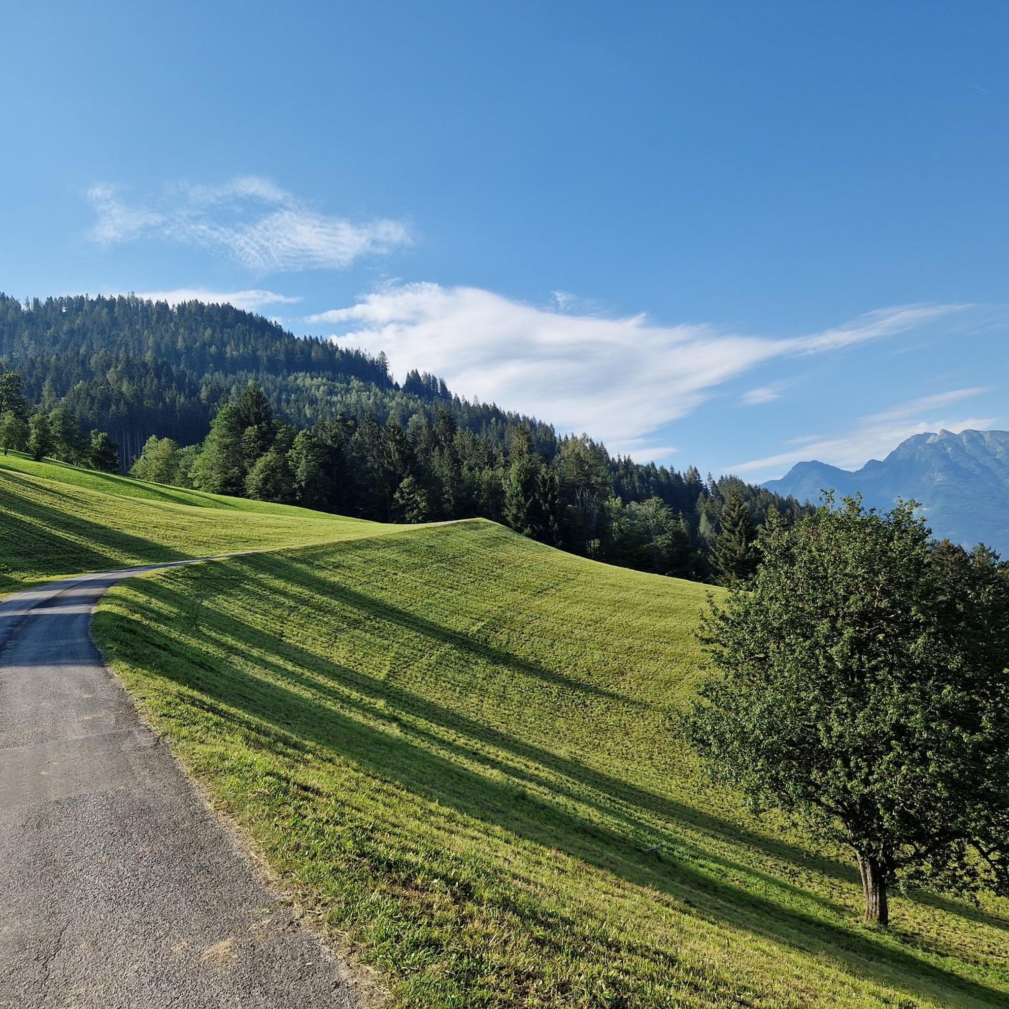
ザルツブルクの数ある美しい風景の一つです。🤩
5
0

The golf club's restaurant invites you to take a break. You can relax on the sunny terrace and watch the golfers tee off.
1
0
Here's a nice shady spot on the bench under the tree. Ideal for taking a short break and refilling your water bottle at the drinking fountain.
1
0

The Leogang Mountains offer you an impressive panorama. The view stretches from the striking Steinernes Meer to the rugged peaks of the region.
1
0


The Gamshag (2,178 m) is a particularly impressive peak in the Kitzbühel Alps and a true hiking highlight at the head of the Saalbach-Hinterglemm valley. This technically easy tour leads mostly via the Bochumer Hütte and the picturesque "Tor" pass, as well as the idyllic Torsee lake, to the summit, from where spectacular views of the Venediger Group, the Wilder Kaiser, and the Steinernes Meer massif await.
3
0
The Tristkogel, at 2,095 meters, is a striking and challenging peak at the head of the Saalbach-Hinterglemm valley, rewarding experienced hikers with breathtaking panoramic views. The ascent mostly proceeds via the Bochumer Hütte and the Oberkaseralm, passing alpine meadows and rockier passages. The summit offers an impressive panorama of the Hohe Tauern, the Wilder Kaiser, and the Leoganger Steinberge mountains – a worthwhile highlight for sure-footed mountaineers.
4
0
The Saalkogel, at 2,006 meters, is a peaceful and scenic peak at the head of the Saalbach-Hinterglemm valley, making it particularly suitable for long hikes. The ascent leads across rolling alpine meadows and broad ridges and is technically easy but physically demanding. From the summit, there are sweeping views of the Leogang and Lofer Steinberge mountains and as far as the Wilder Kaiser – a tranquil spot for those who enjoy alpine expanse.
4
0

komootモバイルアプリでインスピレーションを得よう


探していたものは見つかりませんでしたか?
ザルツブルクの下にある他のランニングトレイル & ルートをチェックして、目的地で完璧なルートを見つけましょう。
さらに探索
他の地域の最高のランニングトレイル & ルートを見てみましょう。
