ケニルワースのおすすめウォーキング&ハイキングルート
4.5
(1676)
12,393
ハイカー
101
ハイキング
ケニルワース 周辺でおすすめのハイキングやウォーキングを楽しんでいただけるように、このエリアの小径やルートを集めたkomootコレクション全体を見直しました。 以下で各ルートの詳細をご覧になり、ケニルワース周辺の大自然を満喫する際の参考にしてください。
最終更新日: 8月 30, 2026
4.6
(108)
401
ハイカー
11.0km
02:50
50m
50m
Embark on the Kenilworth Castle loop via Millennium Way, a moderate hike spanning 6.9 miles (11.0 km) with a gentle elevation gain of 167 feet (51 metres). This circular route,…
3.4
(5)
13
ハイカー
16.7km
04:20
100m
100m
Embark on the Nailcote Hall & the Millennium Way loop, a moderate hike that takes you through varied countryside and past historic landmarks. This 10.4-mile (16.7 km) route features mostly…

無料新規登録
15
ハイカー
11.6km
03:00
70m
70m
Hike the moderate 7.2-mile Leek Wotton & Warwickshire Golf Club loop via Millennium Way, featuring canal views and golf course scenery.
4.8
(31)
108
ハイカー
11.5km
03:00
80m
80m
中程度のハイキング. ある程度のフィットネスレベルが必要です。 進みやすいルートです。あらゆるスキルレベルに適しています。
4.8
(13)
73
ハイカー
10.1km
02:37
60m
60m
中程度のハイキング. ある程度のフィットネスレベルが必要です。 進みやすいルートです。あらゆるスキルレベルに適しています。
さらに多くのルートや他のユーザーのおすすめ情報を確認できます。
無料新規登録
すでにアカウントをお持ちですか?
おすすめのツアーは他のkomootユーザーが実際に経験した何千ものアクティビティに基づいています。
無料アカウントで今日から始めよう
次の冒険が待っています。
ログインまたは登録

コミュニティからのヒント

The area surrounding Castle Green offers picturesque views of the castle ruins and a greenery for visitors interested in England's rich history and architecture
0
0

Formerly a fishpond belonging to the Abbey of St Mary up until the dissolution, Robin Leach dates its draining to become the oxpen meadow as c1650. The meadow was first flooded for skating in 1879, and re-flooded as a wartime water supply in 1940. By 1948 it was drained again and used for an agricultural show. The decision to flood the meadow permanently came in 1997.
0
0
The remains of St Mary's Abbey are situated in the grounds of St Nicholas' Church and in an adjacent area of Abbey Fields. Some of its ruins are above ground and some are below ground.
0
0
Abbey Fields is set in the dramatic valley of the Finham Brook and enjoys views of the historic town and Kenilworth castle. Grassy slopes, a lake, historic buildings and veteran trees recall Abbey Fields’ past as the farmland of St Mary’s Abbey, whose ruins adjoin the park. Because of its important heritage, Abbey Fields is a Scheduled Ancient Monument.
0
0
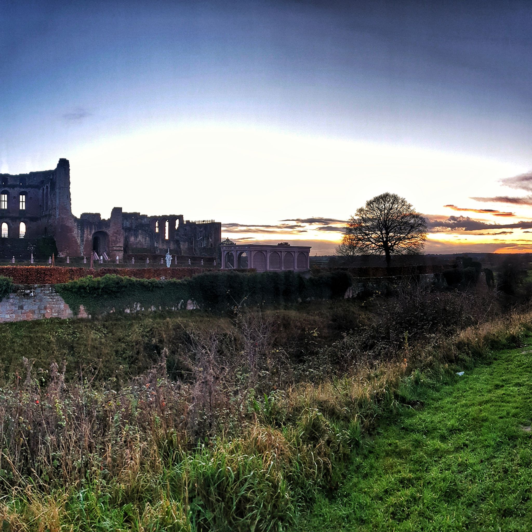
The castle was founded after the Norman Conquest of 1066; with development through to the Tudor period. It has been described by the architectural historian Anthony Emery as "the finest surviving example of a semi-royal palace of the later middle ages, significant for its scale, form and quality of workmanship". Kenilworth played an important historical role: it was the subject of the six-month-long siege of Kenilworth in 1266, thought to be the longest siege in medieval English history, and formed a base for Lancastrian operations in the Wars of the Roses. Kenilworth was the scene of the removal of Edward II from the English throne, the perceived French insult to Henry V in 1414 of a gift of tennis balls (said by John Strecche to have prompted the campaign that led to the Battle of Agincourt), and the Earl of Leicester's lavish reception of Elizabeth I in 1575. It has been described as "one of two major castles in Britain which may be classified as water-castles or lake-fortresses...
0
0
Robert Langham (C16) - "The Castle has the name of Killingwoorth, but if truth grounded upon faithful story, Kenelwoorth [Kenilworth]. It stands in Warwickshire, a 74 mile North-West from London, and as it were in the navel of England, four mile somewhat South from Coventry a proper city, and a like distance from Warwick, a fair Shire town on the North. In air sweet and wholesome, raised on an easy-mounted hill, is set evenly coasted with the front straight into the East, has the tenants and town about it, that pleasantly shifts from dale to hill, sundry wherewith sweet springs burst forth; and is so plentiful and well sorted on every side into arable, meadow, pasture, wood, water, and good air, as it appears to have need of nothing that may pertain to living or pleasure."
1
0
The dam was probably constructed in three phases; initially circa 1125, then subsequently raised by King John and lastly the western lane and bridge possibly 17th century. It is not known when the castle’s great defensive lake, created by the dam, was first called a Mere nor when the breach, shown here being repaired in 1964, was first called Hawkesworth’s Gap. At the end of the Civil War in 1649, Cromwell’s Parliamentarians were determined to ensure that the former Royalist strongholds would never again provide a safe haven for those who opposed the new republican parliament’s powers. So, Colonel Joseph Hawkesworth, MP was appointed to ‘slight’ or damage the castle beyond repair and it is said he breached the Tiltyard to drain the mere as part of the slighting.
0
0

ケニルワースでのの人気観光スポット

komootモバイルアプリでインスピレーションを得よう


さらに探索
他の地域の最高のハイキングを見てみましょう。
