ニューアレスフォードの絶景の山頂・トップ3
絶景を目指して登るのであれ、達成感のために登るのであれ、山頂を訪れることで、ニューアレスフォードの美しい自然をもっと満喫することができます。3
もの選択肢の中から、制覇する山頂を決めるのは簡単ではありません。スムーズに次の冒険で目指す山頂を選べるように、ニューアレスフォードの素晴らしい山頂をこのガイドにまとめました。
最終更新日: 11月 1, 2026
セント・キャサリンの丘
ハイライト • 歴史的な場所
役立つ情報 は

ビーコン・ヒル(サウスダウンズ国立公園)
ハイライト • 自然記念物
役立つ情報 は

今すぐサインアップして、こんな場所を発見しよう
最高のシングルトラック、ピーク、その他のエキサイティングなアウトドアスポットのおすすめを受け取ろう。
ビーコン・ヒル三角点
ハイライト • 山頂
役立つ情報 は

Cheesefoot Head
ハイライト • 自然記念物
役立つ情報 は
テレグラフ・ヒル
ハイライト • 自然
役立つ情報 は

無料アカウントで今日から始めよう
次の冒険が待っています。
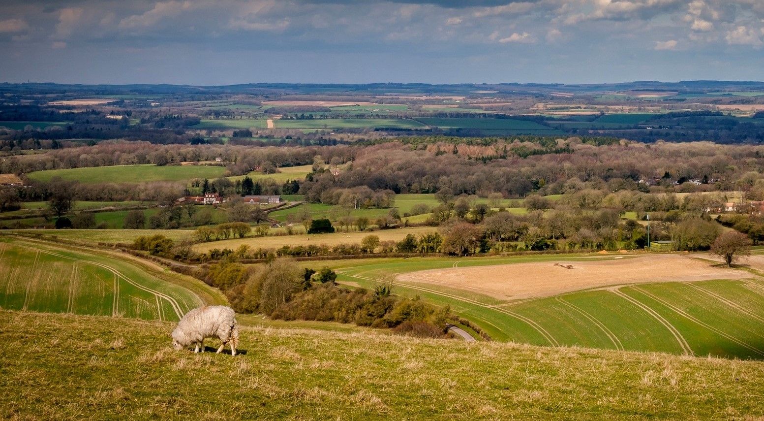

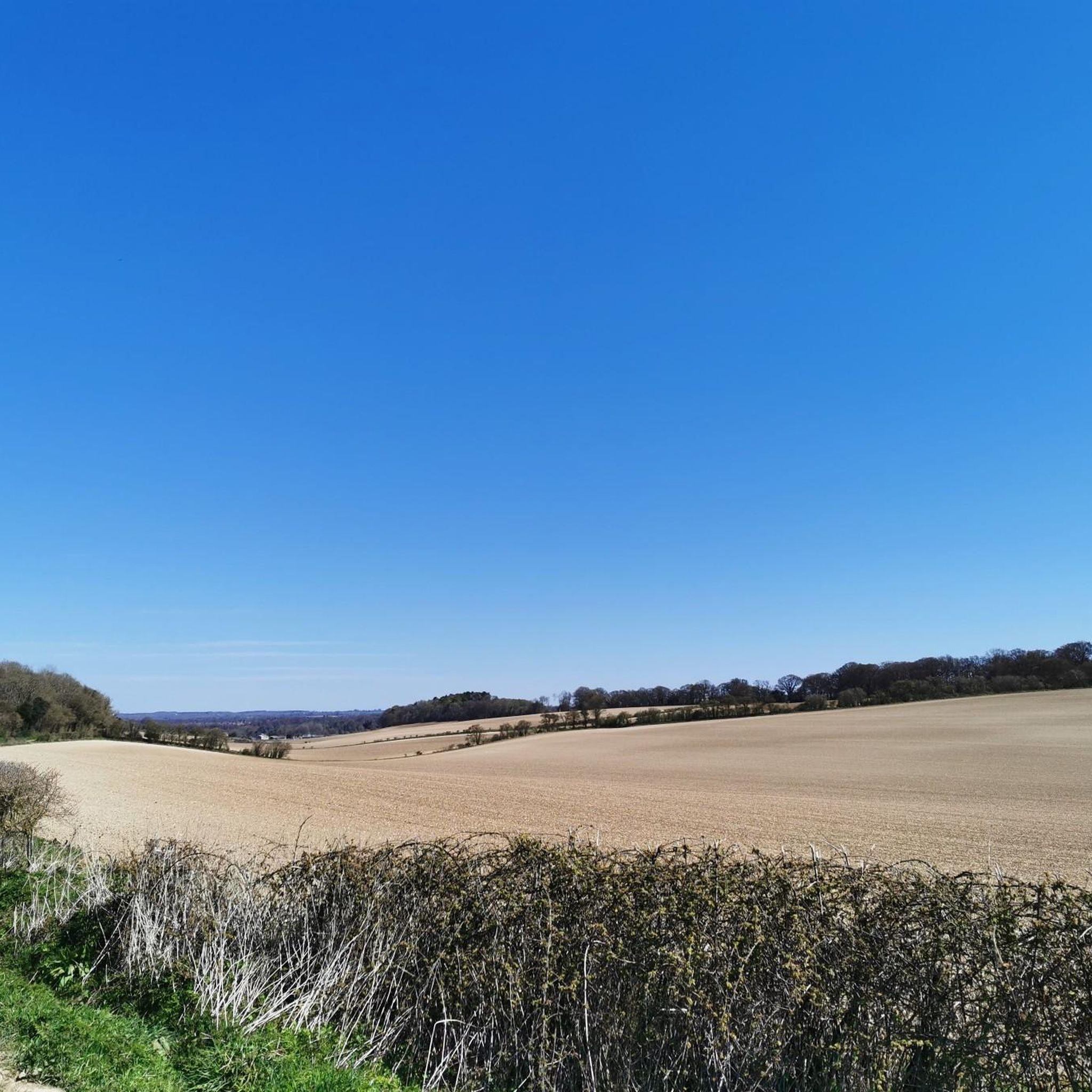

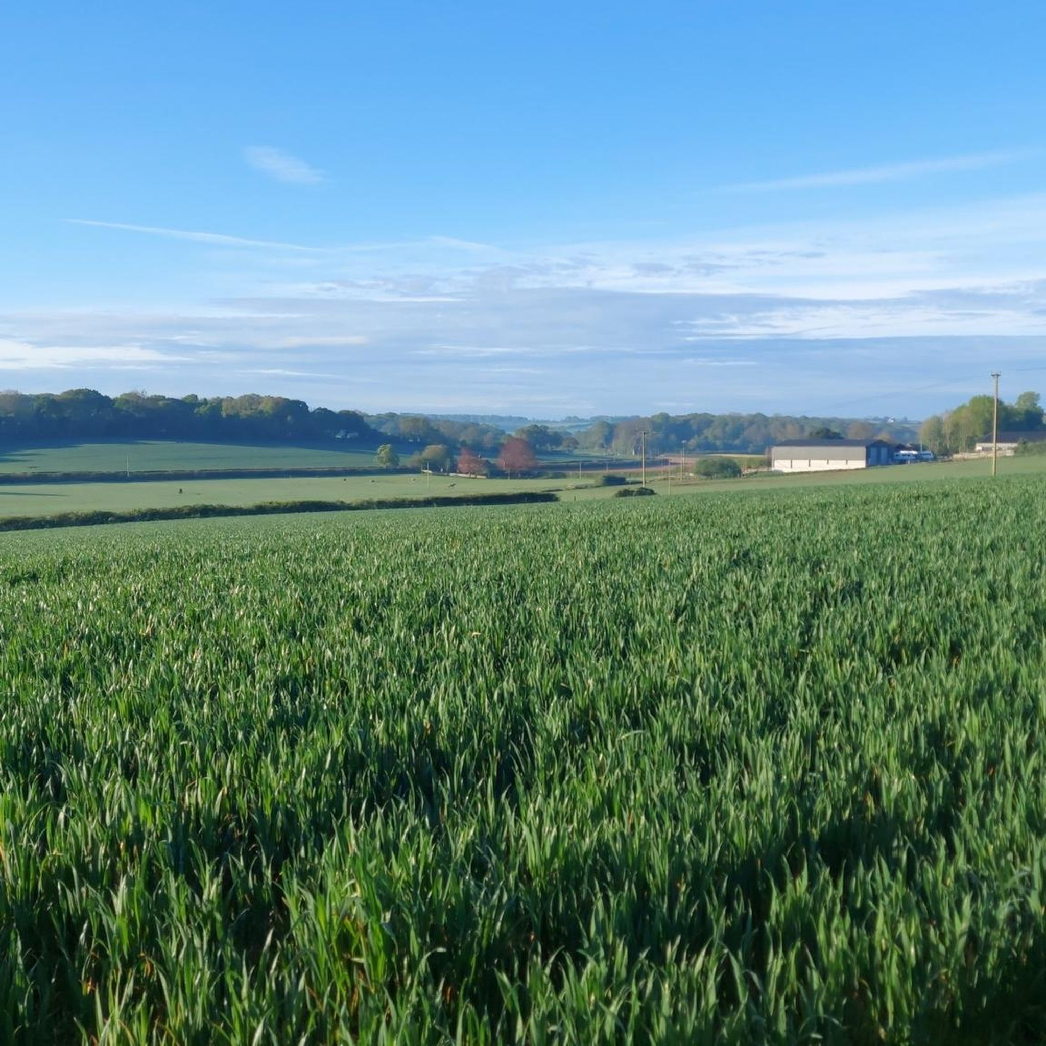
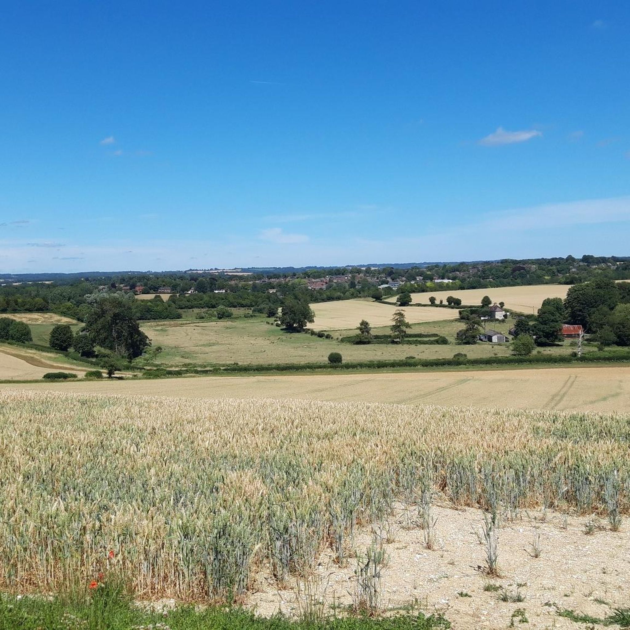
ニューアレスフォードでのの他の冒険

コミュニティからのヒント

St Catherine's Hill is a prominent chalk downland hill on the outskirts of Winchester, notable for its layered historical and ecological importance. Now a biological Site of Special Scientific Interest (SSSI) managed as a nature reserve, its summit is ringed by the impressive earthworks of a univallate Iron Age hillfort dating back over 2,000 years. The top is marked by a distinctive copse of beech trees, known as 'The Clump', which contains the scant ruins of the 12th-century St Catherine's Chapel, while the hillside features a turf-cut labyrinth known as the Miz-Maze; the entire site provides spectacular views over the city, the Itchen Valley, and supports a rich variety of wildflowers and butterflies, including the protected Chalkhill Blue.
1
0

There are two hills with the name Beacon Hill on the South Downs Way. This one is 201m, trig pointed, and closer to Winchester. It has a cool old style beacon on the top.
1
0

Beautiful spot to watch the sunrise and look down at the city lights in the distance. Great route up with steps from the south west side of the hill
2
0

Nice clear track underfoot, but does get muddy after rain. Only suitable for trail shoes.
0
0
A super cool but heart thumping 220ft climb up St Catherine’s Hill’s wooden stairs reveals show-stopping views of Winchester city as well as the Itchen Valley and the downland it nestles in. At the summit are the earthworks of an Iron Age fort, buried ruins of the Norman chapel that gives the site its name, and a copse of beech trees. In the summer you’ll be able to hear the cackle of a woodpeckers, spy buzzards and kestrels. It is such a great place to run or walk to.
1
0
Take the South Downs Way through the Meon Valley to enjoy some butterfly-spotting on this hilltop nature reserve as well as taking in some magnificent views and enjoying a good stroll or run.
0
0

Easy to spot trig point in an open position with stunning views across the Meon Valley and the Solent.
0
0

Beautiful walking trails of the South Downs Way. For some long distance walkers, this is where the trail has left Winchester and starts to become more rural. For others, Winchester is close and the end is near!
1
0
ニューアレスフォードでのの人気観光スポット

komootモバイルアプリでインスピレーションを得よう


さらに探索
これらのガイドでさらに素晴らしい頂上を見てみましょうニューアレスフォードでの:
