スワンモアの絶景の山頂・トップ5
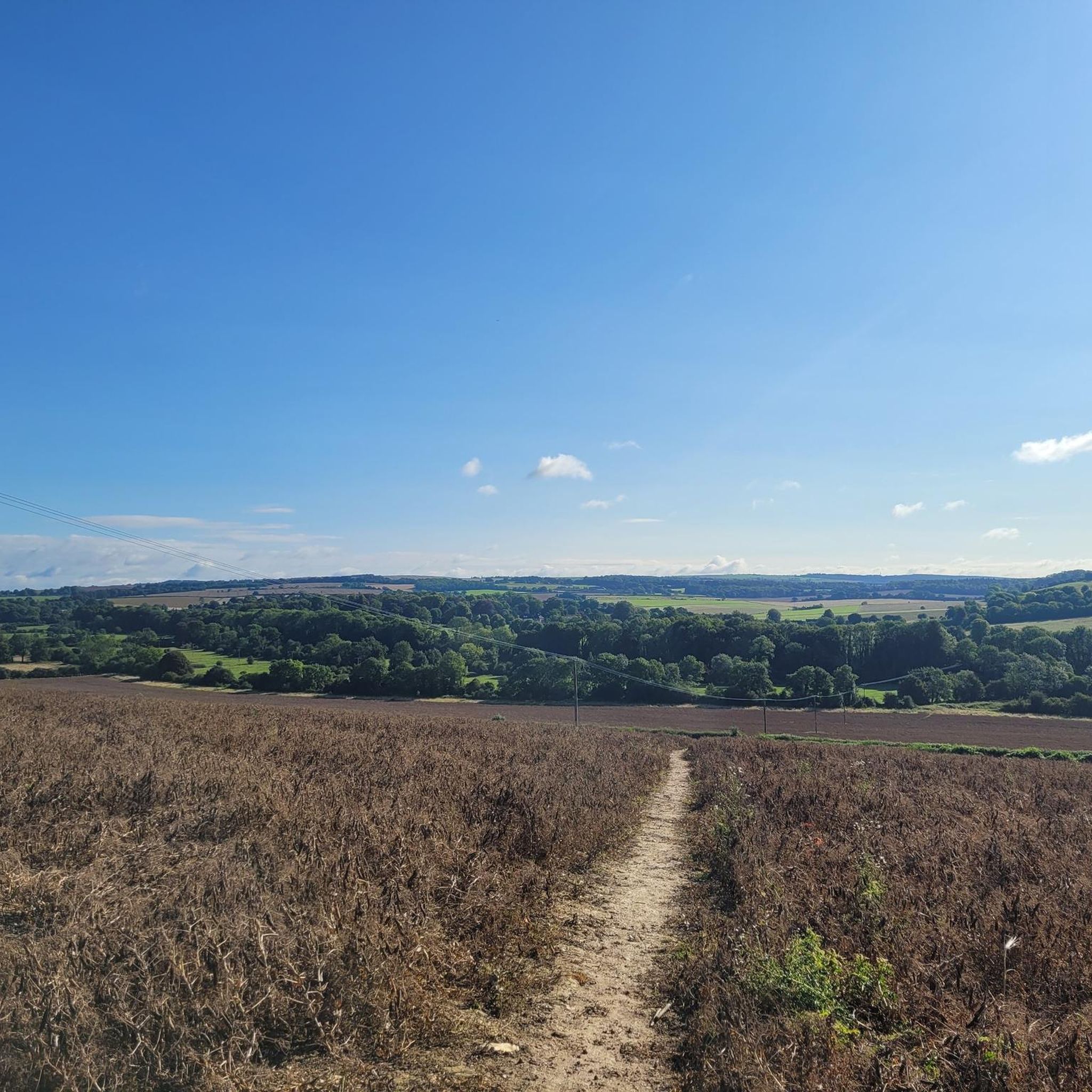
Swanmore周辺の最高の山頂は、サウスダウンズ国立公園内のなだらかな丘と高い展望台が特徴です。海抜約60メートルのこのハンプシャーの田舎の村は、伝統的な山岳地帯というよりは景色の良い景観を提供しています。この地域は、メオン渓谷とハンプシャーの広大な田園地帯の広大な景色を提供する高い場所で、ウォーキングルートの数多くの機会を提供しています。訪問者は、古代の土塁やチョーク草原の生態系を含む、さまざまな自然の特徴を探索できます。
Swanmore周辺の最高の山頂
- 最も人気のある山頂は、鉄器時代の要塞からの実質的な土塁を特徴とする登りであるOld Winchester Hillです。その頂上からは、周囲の田園地帯の景色を体験できます。
- もう一つの必見の場所は、自然記念物であるBeacon Hill (South Downs National Park)です。この場所は、ハンプシャー盆地の景色を望みながら、珍しい植物や数多くの蝶の種を育んでいます。
- 訪問者は、サウスダウンズウェイ沿いの直接の頂上であるBeacon Hill Trig Pointも気に入っています。メオン渓谷とソレントの景色を望みます。
- Swanmoreは、高い展望台、史跡、自然保護区で知られています。この地域は、トリグポイントのある頂上や多様な生態系を含む、さまざまな高い場所を提供しています。
- Swanmore周辺の山頂は、200以上の「いいね!」と訪問者によって共有された12枚の写真で、komootコミュニティに高く評価されています。
最終更新日: 9月 17, 2026
オールド・ウィンチェスター・ヒル
ハイライト • 登山
役立つ情報 は

オールド・ウィンチェスター・ヒルの鉄器時代の砦
ハイライト • 歴史的な場所
役立つ情報 は

今すぐサインアップして、こんな場所を発見しよう
最高のシングルトラック、ピーク、その他のエキサイティングなアウトドアスポットのおすすめを受け取ろう。
ビーコン・ヒル(サウスダウンズ国立公園)
ハイライト • 自然記念物
役立つ情報 は
ビーコン・ヒル三角点
ハイライト • 山頂
役立つ情報 は


無料アカウントで今日から始めよう
次の冒険が待っています。

コミュニティからのヒント

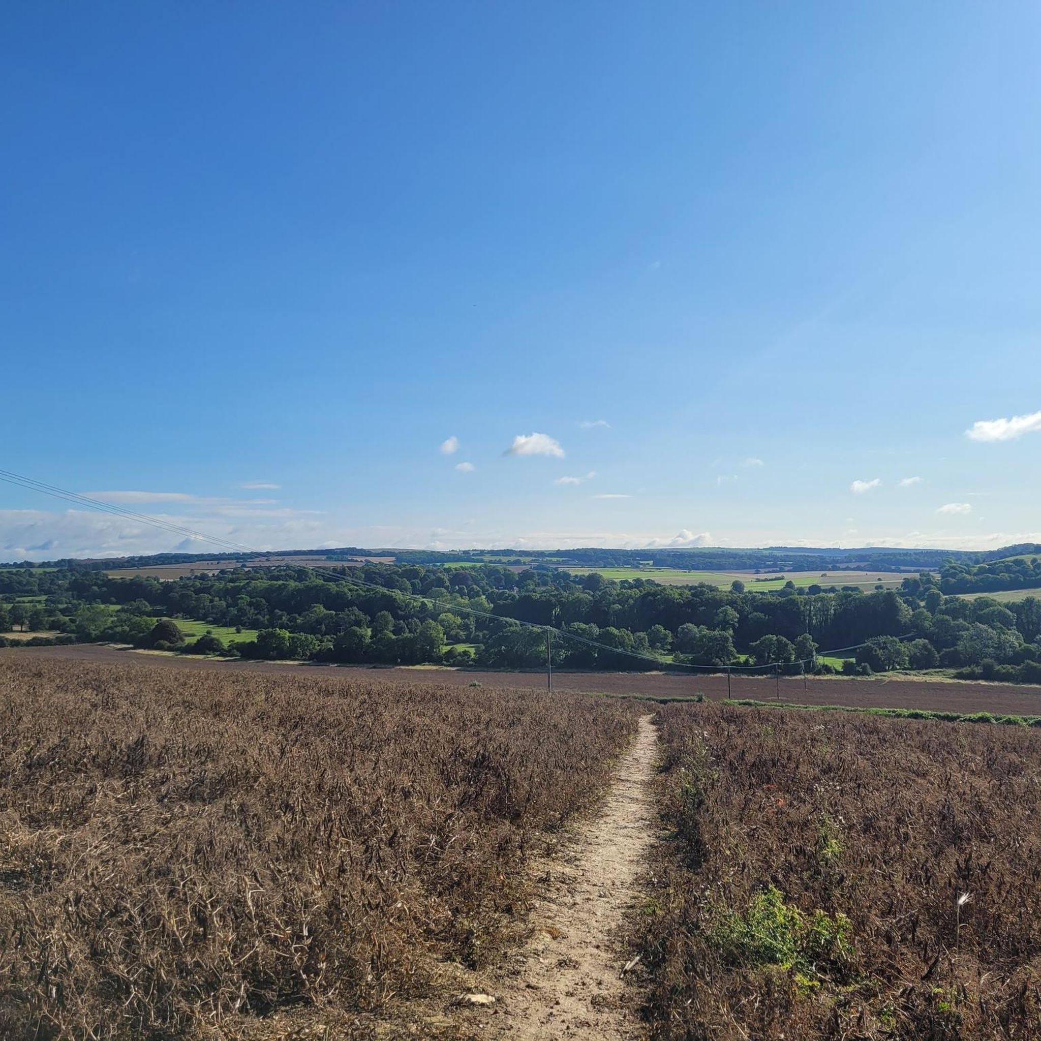
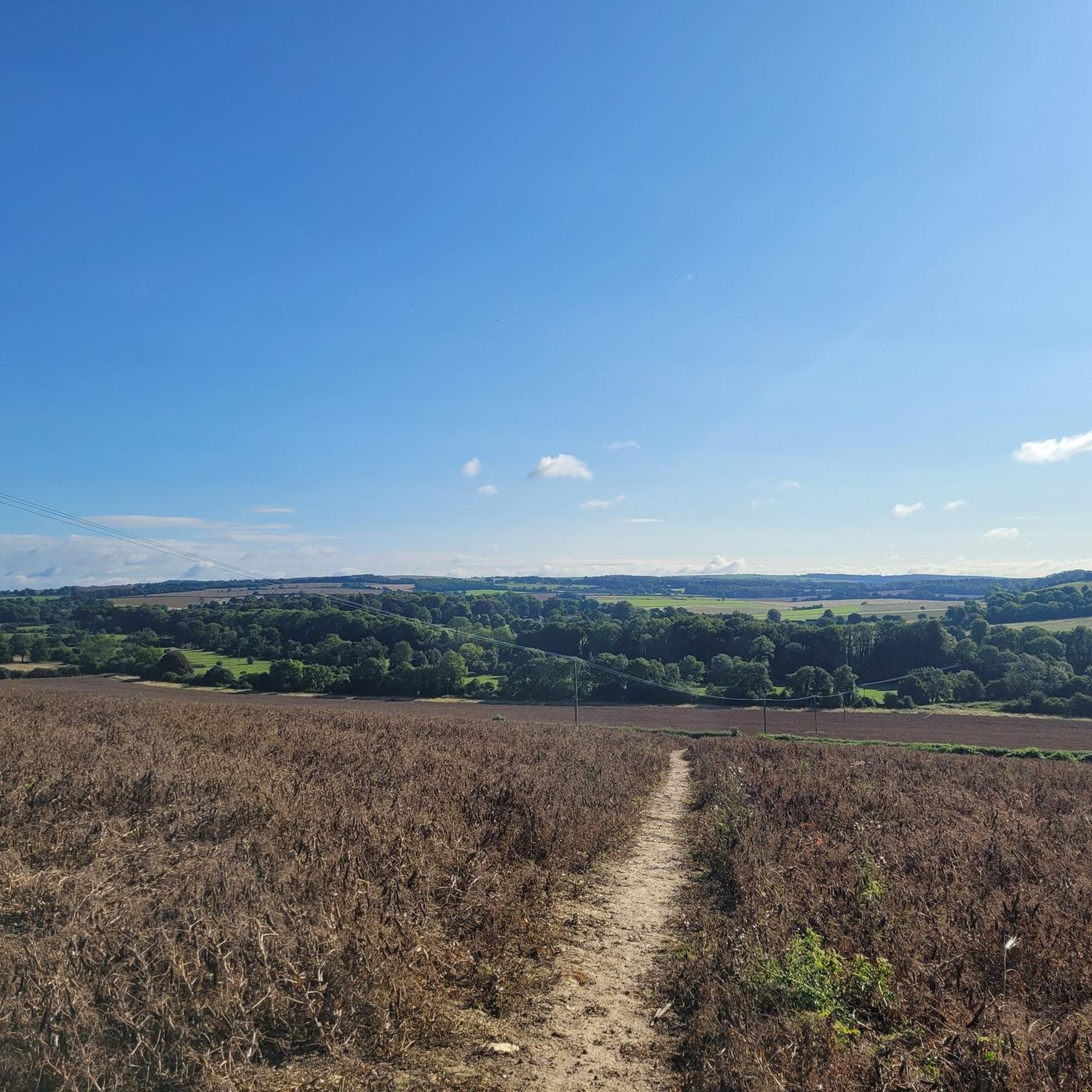
This was on the last leg of the King Alfred’s Way for me and was one of the few descents in the whole trip i walked, dry conditions but on a loaded gravel - the descent was more treacherous than i was prepared to risk / but amazing views from the top and a fast through the fields ride from the bottom.
1
0

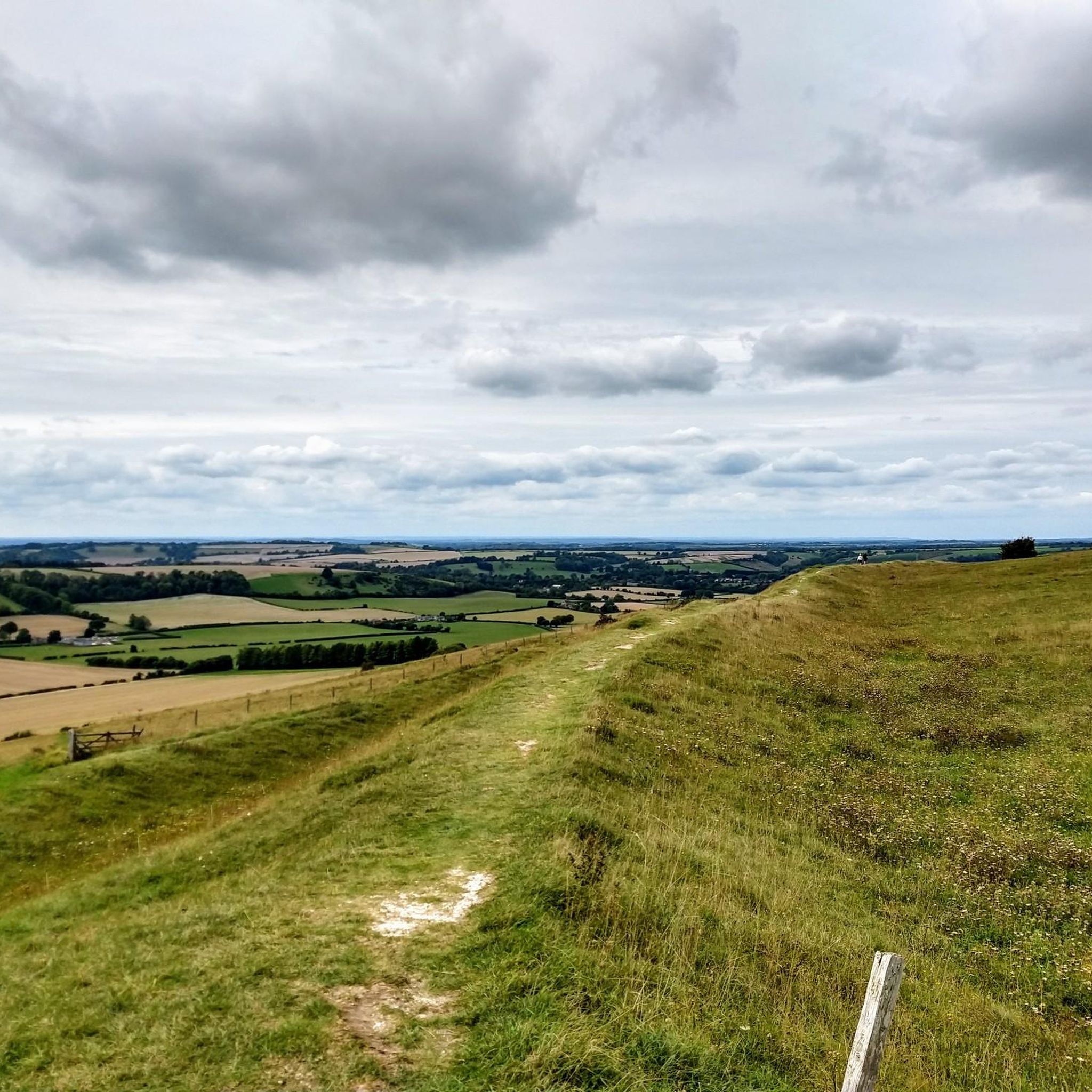
This is a beautiful Iron Age hill fort that is now a national nature reserve, and it is a great area to bring the family to enjoy the beautiful views from the top. It has come a long way from being a mortar testing range for the British Army back in WW2.
0
0
There are two hills with the name Beacon Hill on the South Downs Way. This one is 201m, trig pointed, and closer to Winchester. It has a cool old style beacon on the top.
1
0

Nice clear track underfoot, but does get muddy after rain. Only suitable for trail shoes.
0
0
Take the South Downs Way through the Meon Valley to enjoy some butterfly-spotting on this hilltop nature reserve as well as taking in some magnificent views and enjoying a good stroll or run.
0
0

Easy to spot trig point in an open position with stunning views across the Meon Valley and the Solent.
0
0
Trig points within the Old Winchester Hill fort.
0
0
One of the beacons built to celebrate the Diamond Jubilee in 2002. Great views over the valley below, and a leg testing climb to it.
0
0
スワンモアでのの人気観光スポット

komootモバイルアプリでインスピレーションを得よう


さらに探索
これらのガイドでさらに素晴らしい頂上を見てみましょうスワンモアでの:
