レイヤー・ブレトンのおすすめランニングルート
4.4
(33)
5,912
ランナー
305
ランニング
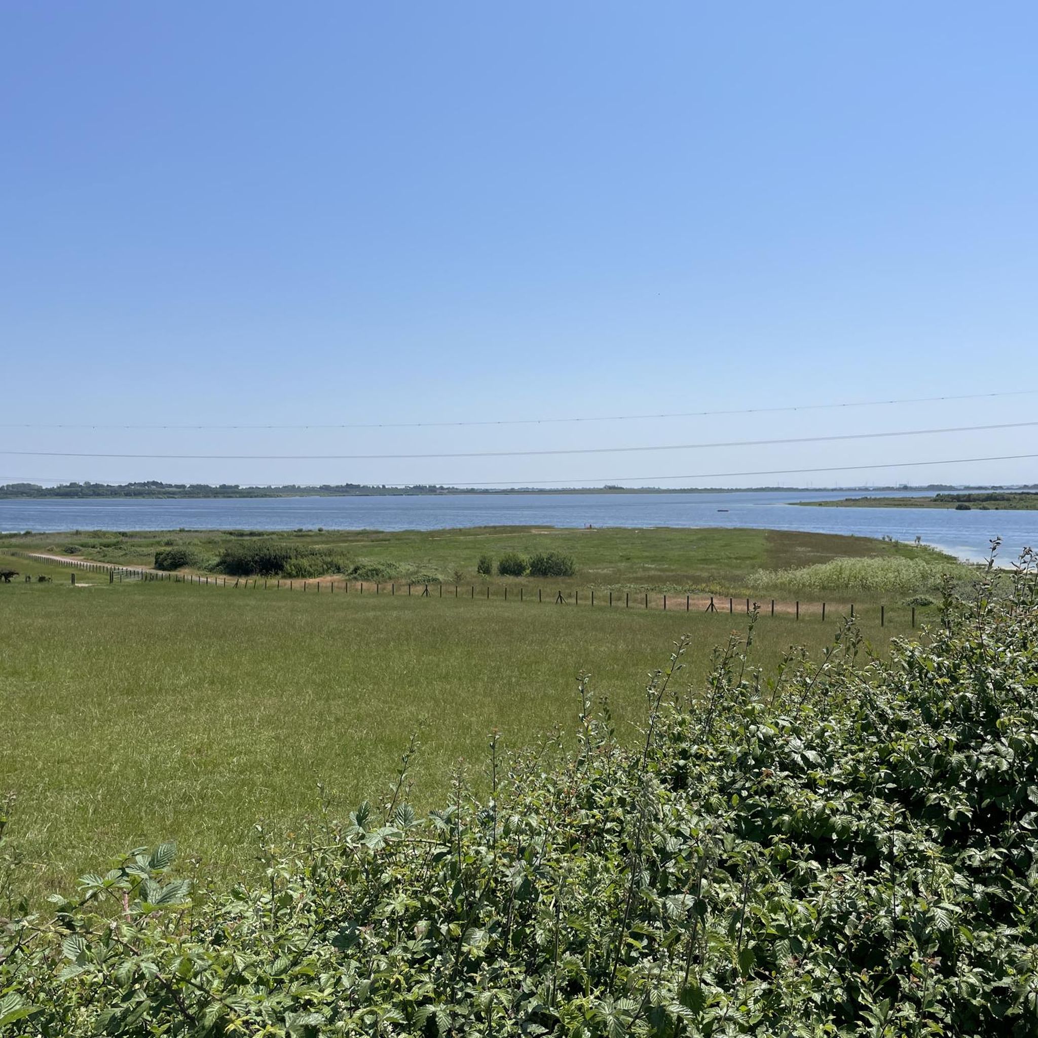
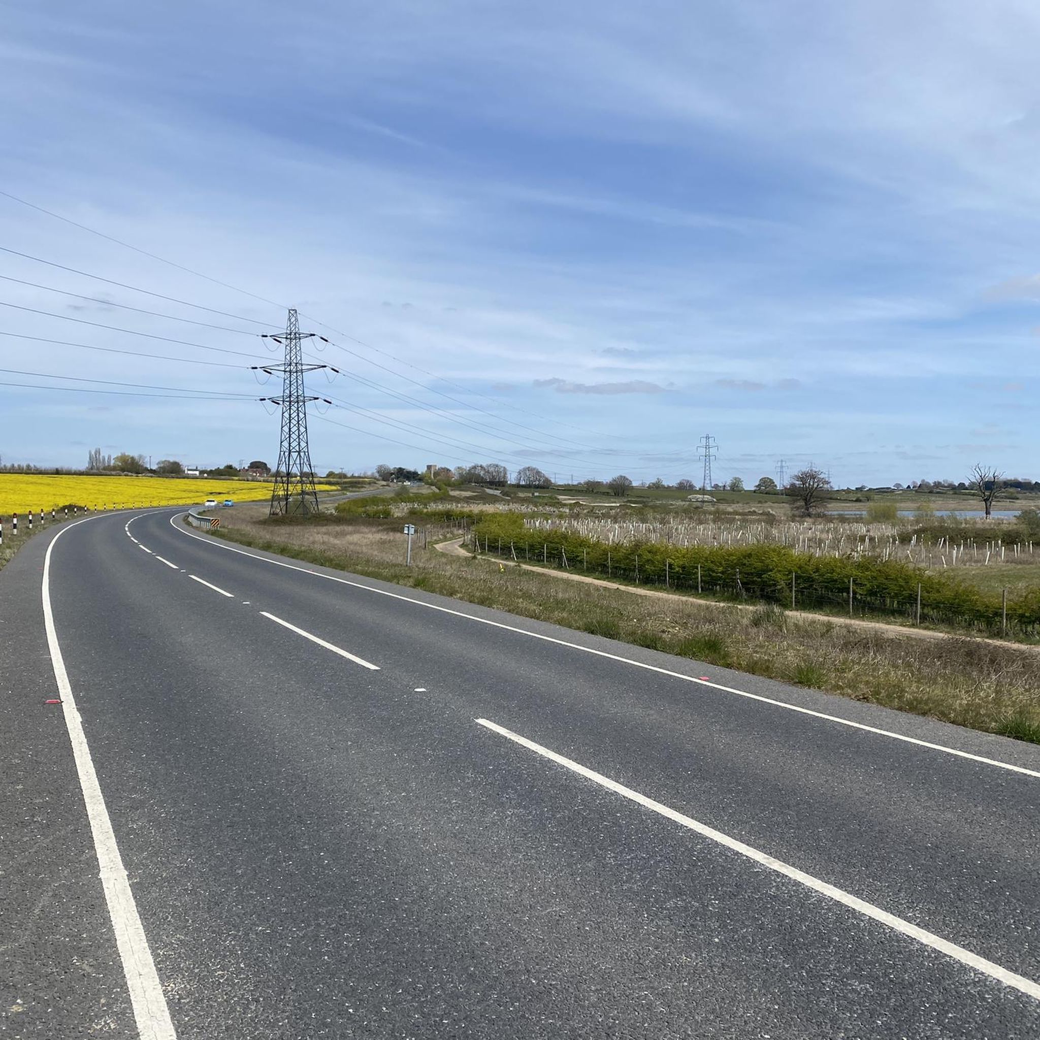
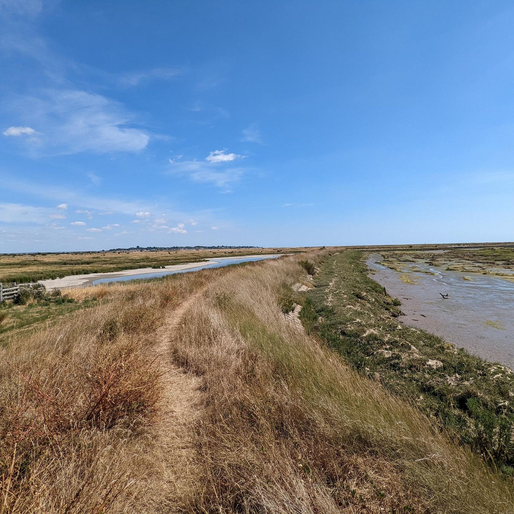
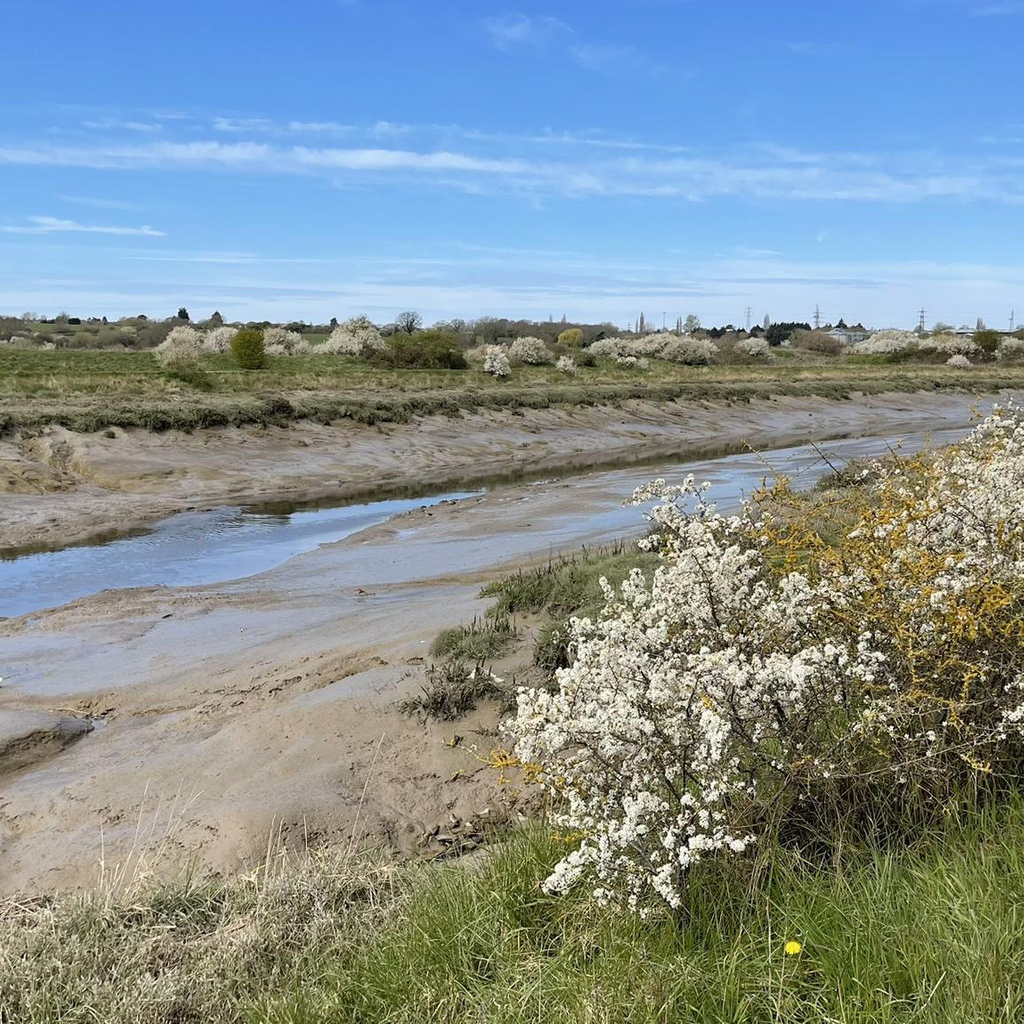
レイヤー・ブレトン周辺のジョギングでは、穏やかな田園地帯、牧歌的な野原、そして森林地帯といった多様な景観にアクセスできます。この地域は、農地と風光明媚な水路を横切る、アクセスしやすいトレイルのネットワークが特徴です。特筆すべきは、アバートン貯水池周辺の広大な外周ルートや、さまざまな森を抜ける公共の遊歩道です。これらの自然環境は、ランニングに適した変化に富んだ地形を提供します。
レイヤー・ブレトン周辺の最高のジョギングルート
- 最も人気のあるジョギングルートは、所要時間1時間0分、距離5.9マイル(9.5 km)のコルチェスター動物園からのランニングループです。このルートは、穏やかな標高変化を伴う中程度の難易度を提供します。
- 地元のランナーに人気のもう一つのルートは、アバートン貯水池の景色を望み、地元の田園地帯を抜ける、距離5.3マイル(8.5 km)の中程度のアバートン貯水池の眺め – レイヤー・ブレトンからのクライムループです。
- 地元のランナーに愛されているのは、アバートン貯水池エリアを通り抜け、所要時間約1時間55分でよく完了される、距離10.5マイル(16.9 km)の貯水池の野鳥 – レイヤー・ブレトンからのレイヤー教会ループです。
- レイヤー・ブレトン周辺のジョギングは、穏やかな田園地帯、森林地帯、そして風光明媚なアバートン貯水池によって特徴づけられ、ルートは簡単な小道からより挑戦的な長距離ランまで、さまざまなレベルの能力に対応するオプションを提供します。
- レイヤー・ブレトンのルートは、20件以上のレビューから平均4.3つ星という高い評価をkomootコミュニティから受けています。5000人以上のランナーがkomootを使用して、レイヤー・ブレトンの多様な地形を探索しています。
最終更新日: 8月 28, 2026
5.0
(1)
242
ランナー
9.46km
00:59
50m
50m
中程度のジョギング. ある程度のフィットネスレベルが必要です。 全般的に舗装された状態です。あらゆるスキルレベルに適しています。
4.0
(1)
21
ランナー
42.5km
04:38
270m
270m
難しいジョギング. 標準以上のフィットネスレベルが必要です。 全般的に舗装された状態です。あらゆるスキルレベルに適しています。

無料新規登録
12
ランナー
8.54km
00:55
50m
50m
中程度のジョギング. ある程度のフィットネスレベルが必要です。 全般的に舗装された状態です。あらゆるスキルレベルに適しています。
14
ランナー
18.6km
02:06
120m
120m
難しいジョギング. 標準以上のフィットネスレベルが必要です。 全般的に舗装された状態です。あらゆるスキルレベルに適しています。
5.0
(1)
9
ランナー
16.9km
01:56
130m
130m
難しいジョギング. 標準以上のフィットネスレベルが必要です。 全般的に舗装された状態です。あらゆるスキルレベルに適しています。
さらに多くのルートや他のユーザーのおすすめ情報を確認できます。
無料新規登録
すでにアカウントをお持ちですか?
おすすめのツアーは他のkomootユーザーが実際に経験した何千ものアクティビティに基づいています。
無料アカウントで今日から始めよう
次の冒険が待っています。
ログインまたは登録
コミュニティからのヒント

Such a great bike stop. Lovely bear and good bar food. Nice and peaceful setting.
0
0

Fabulous sunsets if you pick the time of your visit
0
0

Not much to be seen from the road but continue just south of the church and there are good views across Abberton Reservoir.
0
0
Short but noticeable ramp that rises 25m into the village. Attack it hard after coming over Abberton Reservoir.
0
0

Info taken from https://www.merseamuseum.org.uk/mmresdetails.php?pid=GWG_CHC&rhit=5&ba=mmwig.php Beautifully situated on the top of a hill at the highest point of the parish, the tower of the church is a landmark for many miles around. The large manor (Abbots (Abbess) Hall belonged to the important nunnery of Barking from at Least the Norman Conquest (1066) until the dissolution of the monasteries in 1539, and with that went the patronage of the parish church, so we can assume that there was a church here from at least early Norman times. There are records of clergy here back to the 13th century. There was also from early times a chapel at Salcot-Wigborough (now Salcott Parish Church) for the convenience of that hamlet at a distance from the main parish and across the creek, but annexed to the parish church of Great Wigborough. Virley was a separate parish with its own church. The present church of St Stephen, of septaria and rubble with tilled roofs, owing to rebuilding and restoration has no features earlier than the 14th century. The nave and chancel were built late in the 14th century, but the chancel has been completely rebuilt. Late in the 15th Century a west tower was added, also a south porch, but both have been rebuilt following the extensive damage done by the N.E. Essex Earthquake in 1884. The nave thus remains the only part of the original building, but the windows are mostly modern work. The now blocked north doorway is of late 14th century date; the south doorway is of mid 15th century date. In the northeast corner behind the pulpit is the late 14th century staircase which led to the rood-loft above the chancel screen in pre-Reformation days. The is some reused 15th century material in both tower and porch. The severe local earthquake in 1884 which did much damage in the area between Colchester and Mersea Island, badly shook the church, dislodging pinnacles from the tower, causing serious cracks, and making the whole building unsafe. The tower had to be rebuilt, the money raised by public subscription and help from the Mansion House Fund; the foundation stone was laid by Mrs Watson on Sept 4th 1885. In 1890 the chancel was entirely rebuilt and the nave restored at a cost of £3,000 by the generosity of the rector - the Revd. Frederick Theobald. In 1895 a new vestry was built on the south side, and in 1903 the south porch restored.
1
0
Info taken from http://www.layerchurches.org.uk/churches.htm The first record of the church's existence is found in a charter of 1128, although the oldest parts of the present walls were built some time before. At this time the church belonged to the Abbey of St John in Colchester, but within sixty years it had passed to the Priors of St Botolph. It was from these two great religious houses that the priests who ministered to the needs of the parish were drawn for over four hundred years. The written records of the church are few. We know that after the Black Death the monks of St Botolph set to work to rebuild the nave and tower, both of which date from about 1350. A hundred years later they raised the chancel arch and gave the church its oldest bell (1459). Layer de la Haye interiorDuring the 17th and 18th centuries the church suffered from neglect while it was held in plurality with Berechurch and other places. It was not until the middle of the 19th century that steps were taken to repair the fabric of the church and make it fully fit for worship. This was during the incumbency of the first resident vicar. The church was also enlarged by the building of the south aisle because the population had more than doubled since the turn of the century. The registers of the church date only from 1752, fire having destroyed the earlier ones which probably dated from the sixteenth century. The bells are of particular interest and below is a link to a page giving fuller details. Early in 2001 we completed a major restoration project involving the installation of a new bell frame and ringing chamber in the tower, a new bell, and refurbishment of the other bells, the oldest of which dates back to circa 1459.
1
0
よくある質問
Layer Breton周辺には、どのくらいのランニングルートがありますか?
Layer Bretonでは、300以上のルートがあり、多様なランニング体験ができます。初心者向けの簡単な道から、より挑戦的な長距離ランまで、あらゆるレベルに対応しています。
初心者やリラックスしたジョギングに適した簡単なランニングルートはありますか?
はい、Layer Bretonには簡単なランニングルートがたくさんあります。特に初心者向けや軽いジョギングに最適な、簡単なカテゴリーに分類されたルートが約36件あります。これらは通常、勾配が少なく、より滑らかな地形が特徴です。
Layer Bretonのジョギングトレイルでは、どのような地形が期待できますか?
Layer Breton周辺のジョギングトレイルは、多様な景観を提供しています。穏やかな田園地帯、牧歌的な野原、そして森林地帯が期待できます。多くのルートは、アバートン貯水池の広大な周囲ルートを含む、農地や景色の良い水路を横断しています。Layer Breton Heathのような、回復中のヒースランド地域も、草地、ゴースの低木、森林地帯を含む多様な地形を提供しています。
Layer Bretonエリアには、周回ランニングルートはありますか?
はい、Layer Bretonのランニングルートの多くは周回ルートになっており、同じ場所からスタートしてフィニッシュすることができます。例えば、「アバートン貯水池の眺め – Layer Bretonのクライムループ」は、景色の良い人気のミディアム難易度の周回ルートです。
Layer Bretonのランニングトレイルに犬を連れて行ってもいいですか?
Layer Bretonの多くの公道やトレイルは犬同伴可能ですが、特に農地や家畜の近くを通る際は、常にリードにつないでおくのが最善です。自然保護区であるアバートン貯水池周辺など、特定の制限については常に現地の標識を確認し、すべての人にとって快適な体験を確保してください。
ランニング中に見られる景色の良い見どころやランドマークはありますか?
Layer Bretonでのランニング中には、絵のように美しい田園風景や、穏やかなコルン川沿いの遊歩道を楽しむことができます。ルートによってはアバートン貯水池の眺めを楽しめる場所もあります。地元のランドマークに興味がある方は、聖マリア教会やレイマーニー塔のような史跡を通り過ぎるかもしれません。「コルン川沿いの遊歩道」や「ブラッドウェルウォーターサイドマリーナ」を探索して、美しい水辺の景色を楽しむこともできます。
Layer Bretonには、家族向けのランニングルートはありますか?
はい、Layer Bretonの多くの簡単なルートや中程度のルートは、家族連れに適しています。穏やかな田園地帯と手入れの行き届いた小道は、楽しい外出を約束します。お子様連れで走る場合は、アバートン貯水池周辺の周回ルートのように、標高差が少なく距離の短いルートを探してみてください。
Layer Bretonのトレイルについて、他のランナーはどのように言っていますか?
Layer Bretonのランニングルートは、komootコミュニティから高く評価されており、20件以上のレビューから平均4.3つ星という素晴らしい評価を得ています。ランナーは、多様な景観、田園地帯の平和な雰囲気、そして特にアバートン貯水池周辺の景色の良い眺めをしばしば賞賛しています。
Layer Bretonのランニングルートの近くに駐車場はありますか?
Layer Breton周辺のトレイルへのアクセスポイントには、特に人気のスタート地点やアトラクションの近くに、通常駐車場があります。すべてのルートに特定の駐車場が記載されているわけではありませんが、田舎の多くのトレイルヘッドには、指定された駐車場や路肩の駐車オプションがあります。出発前にkomootでルートの詳細を確認し、特定の駐車情報をご確認いただくことをお勧めします。
公共交通機関でLayer Bretonのランニングトレイルにアクセスできますか?
Layer Bretonは田舎の村ですが、一部の公共交通機関は近くの町に接続している場合があります。しかし、公共交通機関での多くのトレイルヘッドへの直接アクセスは限られている可能性があります。ランニングルートのスタート地点に公共交通機関でアクセスすることを予定している場合は、事前に旅程を計画し、地元のバスの時刻表を確認することをお勧めします。
Layer Bretonでランニングするのに最適な時期はいつですか?
Layer Bretonでは、年間を通して快適なランニングが楽しめます。春と秋は、咲き誇る野花や鮮やかな紅葉とともに、快適な気温と美しい景色を提供します。夏も素晴らしいですが、日中の暑さを避けるために、朝か夕方に走るのが一番です。冬のランニングは爽快ですが、特に雨の後にはぬかるんだ道に注意が必要です。
レイヤー・ブレトンでのの人気観光スポット

komootモバイルアプリでインスピレーションを得よう


さらに探索
他の地域の最高のランニングトレイル & ルートを見てみましょう。
