ホーフアムトプリエルのおすすめランニングルート
4.7
(51)
1,787
ランナー
213
ランニング
ホーフアムトプリエルでランニングを楽しめば、このエリアをより深く知ることができます。ランニングに適した美しいルートが見つかるように、komootがホーフアムトプリエルでのルートのコレクション全体を評価して選び抜いた、人気ランニングトレイルをご紹介します。ルートをクリックして詳細を表示し、他のユーザーがアップロードした役立つ情報や写真を閲覧しましょう。
最終更新日: 10月 5, 2026
18
ランナー
6.12km
00:38
20m
20m
中程度のジョギング. ある程度のフィットネスレベルが必要です。 全般的に舗装された状態です。あらゆるスキルレベルに適しています。
10
ランナー
5.18km
00:32
10m
10m
中程度のジョギング. ある程度のフィットネスレベルが必要です。 全般的に舗装された状態です。あらゆるスキルレベルに適しています。

11
ランナー
7.27km
00:45
20m
20m
中程度のジョギング. ある程度のフィットネスレベルが必要です。 全般的に舗装された状態です。あらゆるスキルレベルに適しています。
9
ランナー
11.7km
01:17
110m
110m
中程度のジョギング. ある程度のフィットネスレベルが必要です。 全般的に舗装された状態です。あらゆるスキルレベルに適しています。
5
ランナー
9.89km
01:03
100m
100m
中程度のジョギング. ある程度のフィットネスレベルが必要です。 全般的に舗装された状態です。あらゆるスキルレベルに適しています。
さらに多くのルートや他のユーザーのおすすめ情報を確認できます。
すでにアカウントをお持ちですか?
おすすめのツアーは他のkomootユーザーが実際に経験した何千ものアクティビティに基づいています。
無料アカウントで今日から始めよう
次の冒険が待っています。


コミュニティからのヒント

The small alleys ("Hauptstraße") around the town hall square already have a "Wachau flair" 😉
0
0

An impressive, over 600-year-old linden tree, declared a natural monument in 1989. Right next to it is the Café zur Linde, very fitting.
6
0
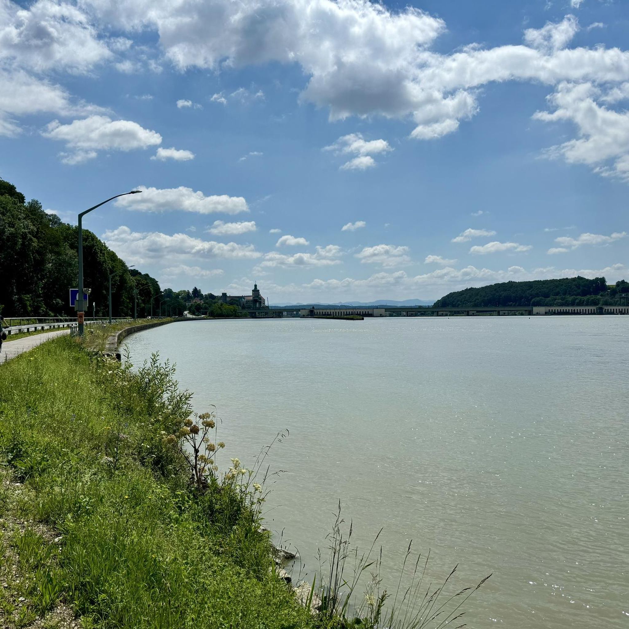
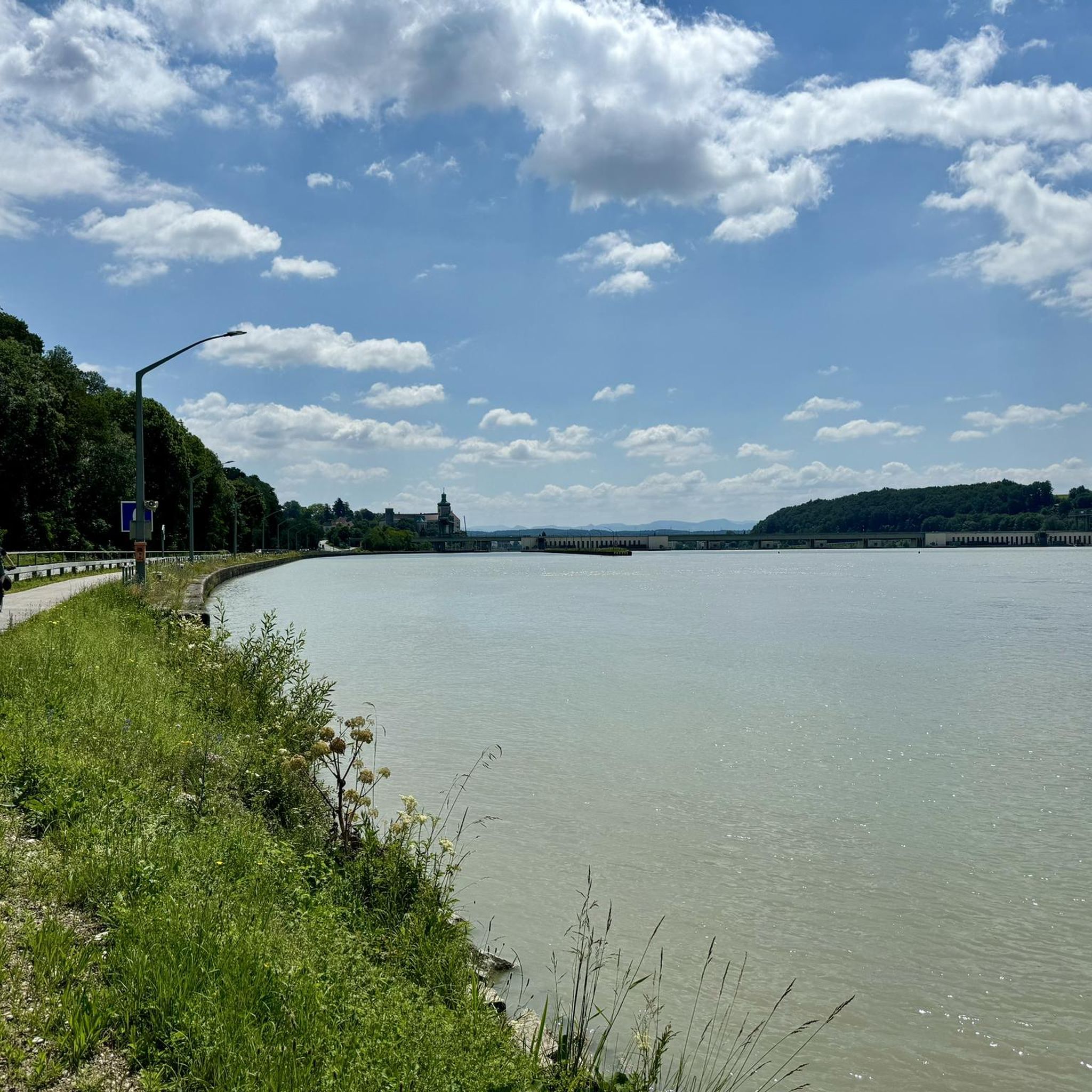
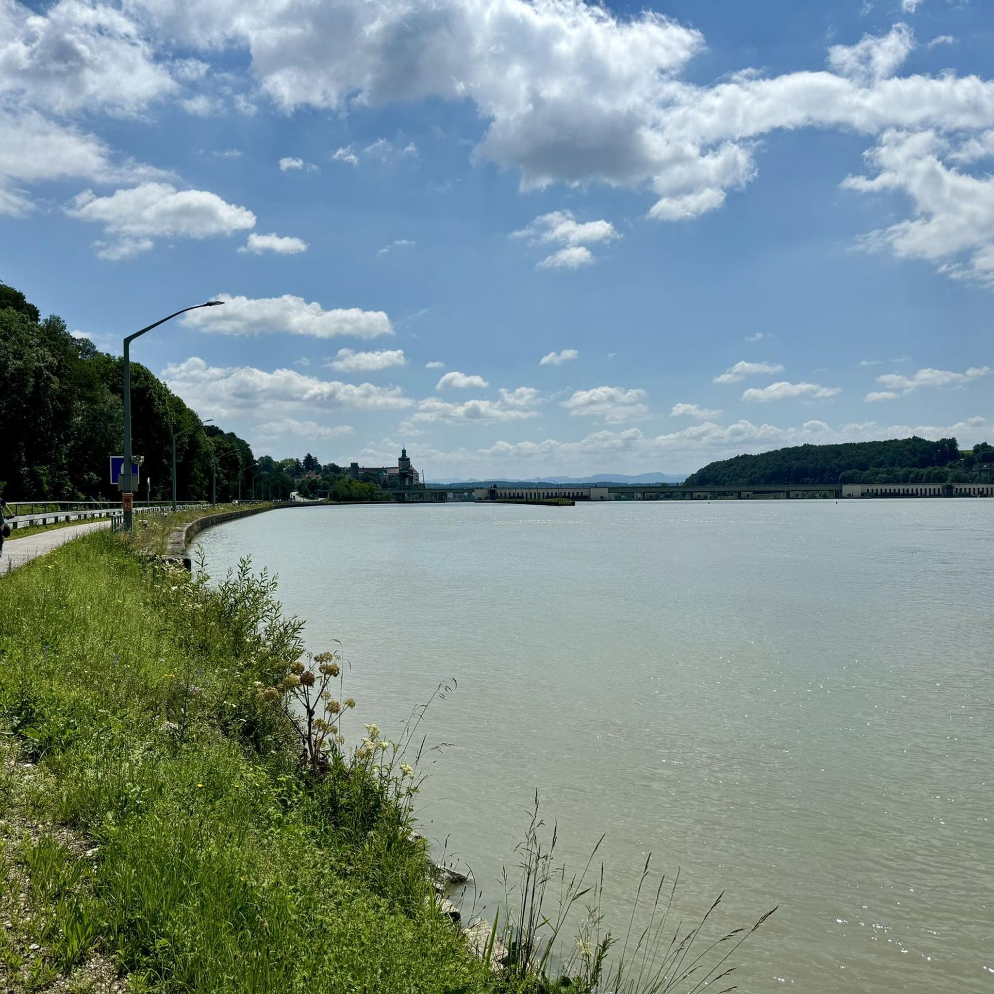
The Danube Loop (formerly also known as the Böse Beuge) is located between Ybbs an der Donau and Gottsdorf in Lower Austria. The loop lies at the beginning of the Nibelungengau region. Within the Danube Loop lies the so-called Scheibe (also known as the Gottsdorfer Scheibe), which is covered with gravel. The Danube Loop extends from Persenbeug, which derives its name from the "Böse Beuge" (Evil Bend), to Gottsdorf. Until the 18th century, rocks protruded into the shipping lane. Some of these rocks were blasted between 1770 and 1780, but contact with the subsoil still occurred. The riverbed was only leveled with the construction of the Ybbs-Persenbeug power plant. Flood protection measures were further improved at the beginning of the 3rd millennium. A very beautiful section of this route, through a magnificent landscape. Well-developed, paved, and easy to navigate. Gentle climbs and descents are present along this stretch. Just cycle in a relaxed manner and capture the beautiful impressions.
8
0
An impressive, over 600-year-old lime tree that was declared a natural monument in 1989. Right next door is the Café zur Linde, very fitting.
4
0

A mighty tree, has already "experienced" a lot
1
0

Super great and well-kept tree in the middle of town.
3
0

She experienced the plague in the Middle Ages, the Thirty Years' War, the comings and goings of the generations at Persenbeug Castle - people who held court under her and people who married under her. The "linden tree on the square" is over 700 years old. It was planted around 1300, just as the Habsburgs had gained control of the Duchy of Austria. Since then, it has seen turbulent times and has become a symbol of the town.
0
0
The castle was first mentioned in history in 907. The Bavarian Sieghart, Count zu Sempt and Ebersberg, took possession of “Bösenberg” and fortified it. Over the centuries the castle changed hands many times. It was owned by the Austrian imperial family until 1593. Today the castle is owned by their descendants, the Habsburg-Lothringen and Waldburg-Zeil families.
0
0
ホーフアムトプリエルでのの人気観光スポット

komootモバイルアプリでインスピレーションを得よう


さらに探索
他の地域の最高のランニングトレイル & ルートを見てみましょう。
