オルディーノのおすすめランニングルート
4.8
(11)
2,366
ランナー
100
ランニング
オルディーノでランニングを楽しめば、このエリアをより深く知ることができます。ランニングに適した美しいルートが見つかるように、komootがオルディーノでのルートのコレクション全体を評価して選び抜いた、人気ランニングトレイルをご紹介します。ルートをクリックして詳細を表示し、他のユーザーがアップロードした役立つ情報や写真を閲覧しましょう。
最終更新日: 9月 13, 2026
51
ランナー
7.43km
00:56
210m
210m
Jog this moderate 4.6-mile (7.4 km) circular route in Llorts, exploring the Ruta del Ferro, Roman bridge, and iron sculptures.
31
ランナー
10.2km
02:12
990m
990m
難しいジョギング. 標準以上のフィットネスレベルが必要です。 安定して歩行できる技術、丈夫な靴、高標高地での登山経験が必要です。

31
ランナー
10.2km
01:49
690m
700m
This difficult 6.3-mile jogging route in Parc Natural de la Vall de Sorteny features a challenging ascent to Collado de Siguer with stunning
21
ランナー
12.7km
02:20
1,030m
1,030m
This difficult 7.9-mile circular route in Parc Natural de la Vall de Sorteny offers challenging terrain and panoramic views from Pico de la
6
ランナー
19.3km
03:30
1,530m
1,520m
難しいジョギング. 標準以上のフィットネスレベルが必要です。 全般的に舗装された状態です。あらゆるスキルレベルに適しています。
11
ランナー
9.97km
01:58
730m
740m
This difficult 6.2-mile jogging route through Sorteny Valley Natural Park offers Pyrenean scenery and leads to the Besalí Refuge.
9
ランナー
13.2km
02:24
1,050m
1,050m
This difficult 8.2-mile jogging route in Parc Natural de la Vall de Sorteny climbs 3442 feet to the panoramic summit of Pic de l'Estanyó.
8
ランナー
14.6km
02:17
840m
840m
This difficult 9.1-mile (14.6 km) jogging route in Ordino offers forest paths, steep sections, and panoramic views from Bony de les Neres.
9
ランナー
4.29km
00:42
230m
220m
難しいジョギング. ある程度のフィットネスレベルが必要です。 安定して歩行できる技術、丈夫な靴、高標高地での登山経験が必要です。
4
ランナー
7.99km
01:51
620m
610m
難しいジョギング. 標準以上のフィットネスレベルが必要です。 安定して歩行できる技術、丈夫な靴、高標高地での登山経験が必要です。
さらに多くのルートや他のユーザーのおすすめ情報を確認できます。
すでにアカウントをお持ちですか?
おすすめのツアーは他のkomootユーザーが実際に経験した何千ものアクティビティに基づいています。






コミュニティからのヒント

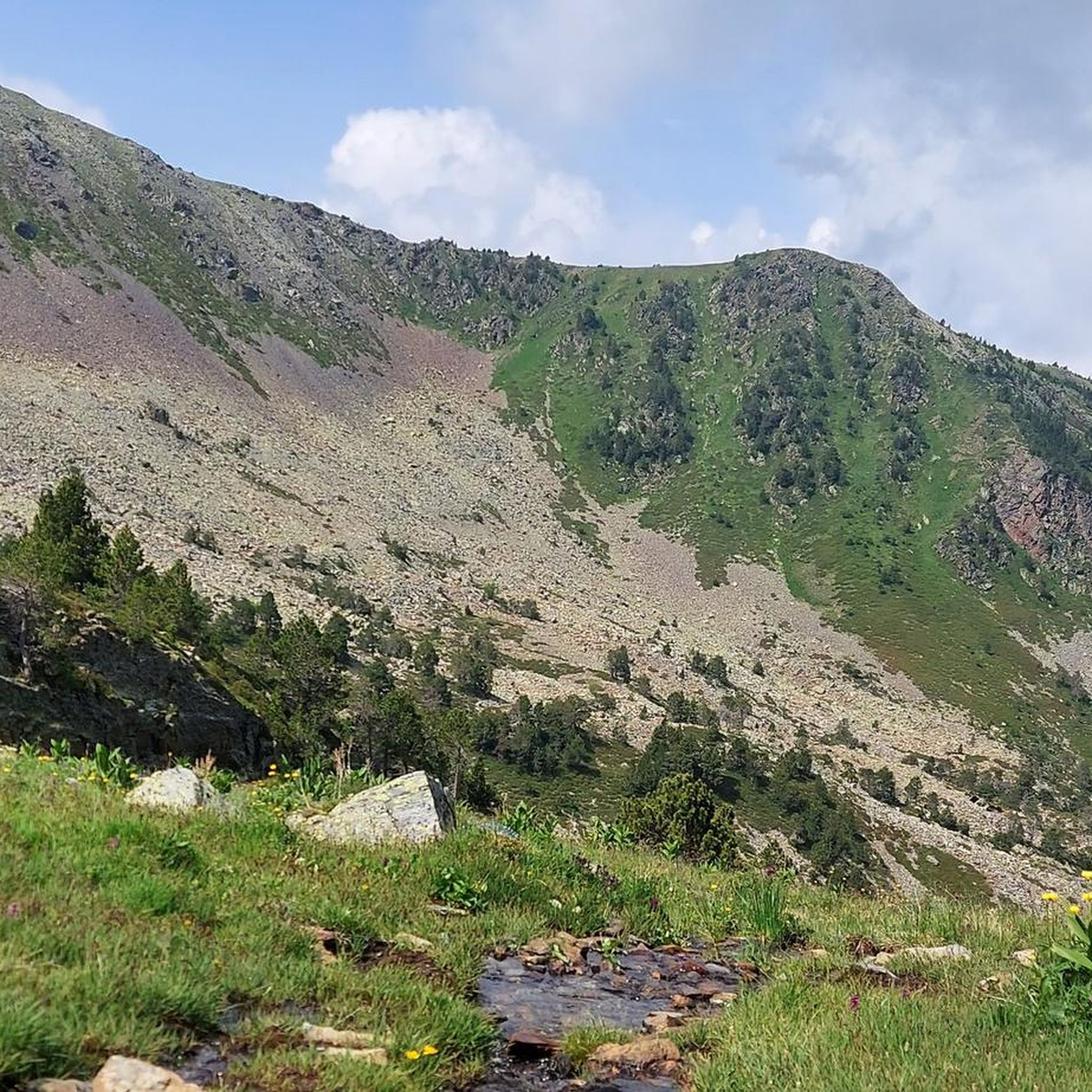
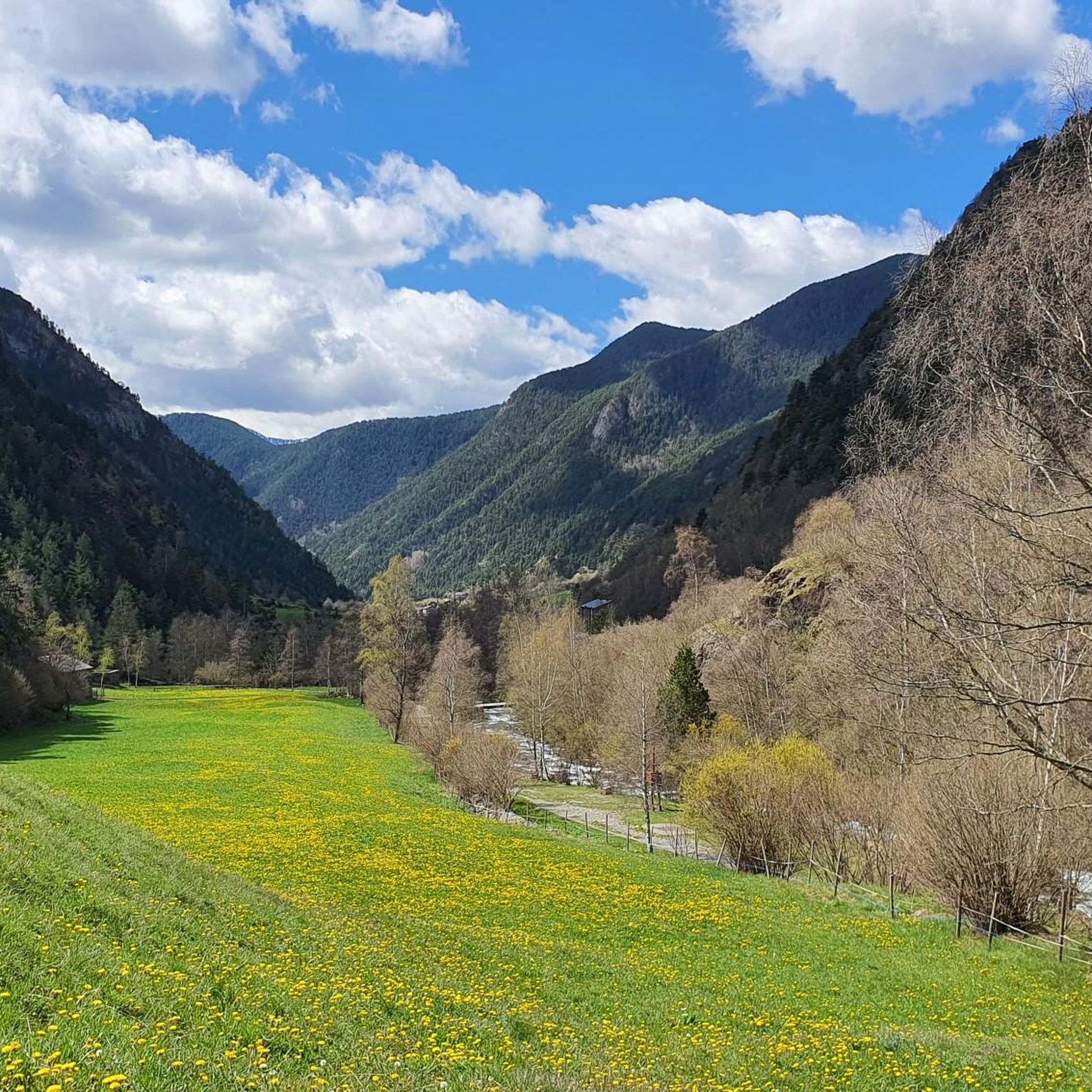
避難小屋は宿泊と食事を提供しています。親切な小屋の管理人と手頃な価格。
1
0

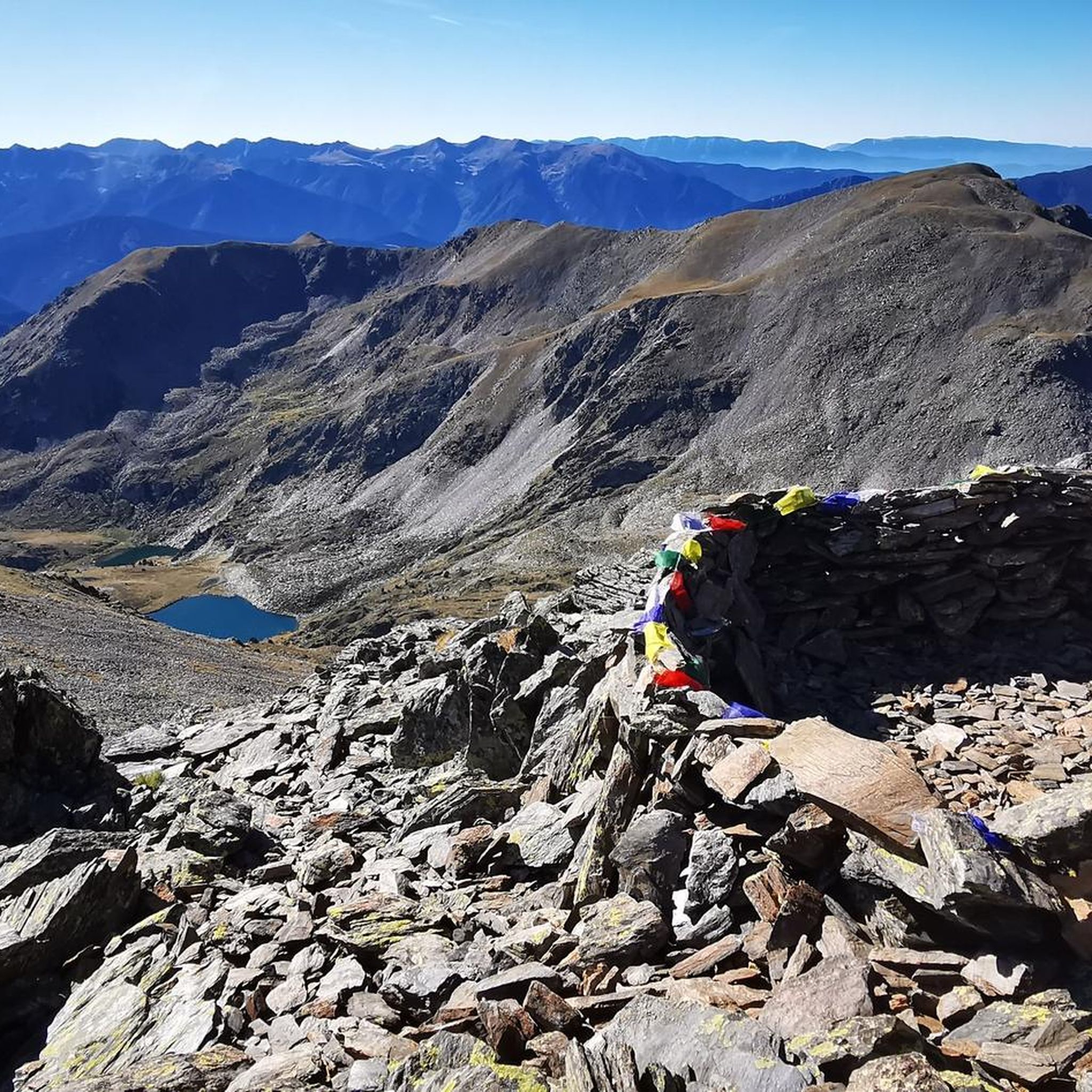
フランスとスペインへの素晴らしい眺めと、巨大で美しい山の景色。 登頂中に天気がもってくれて本当に嬉しいです。頂上は本当に最高でした。 しかし、登りも下りも経験のない人には向きません。
0
0

The climb is steep, but manageable. The view from up there, stretching far into France, is definitely worth it!
0
0

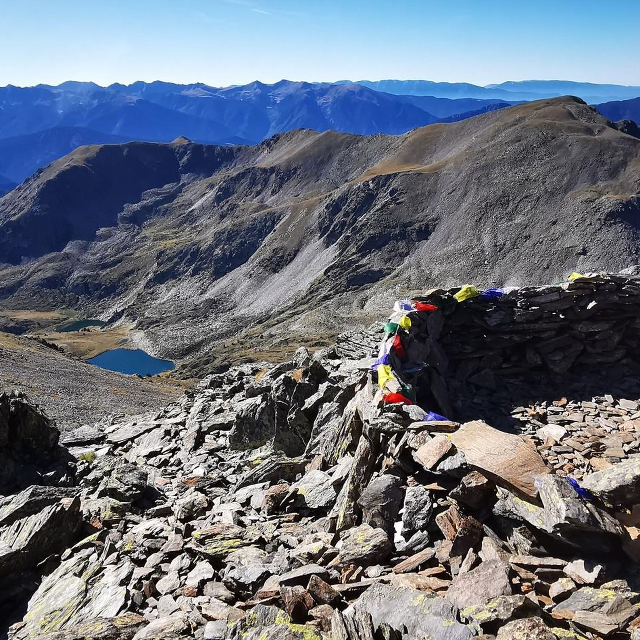
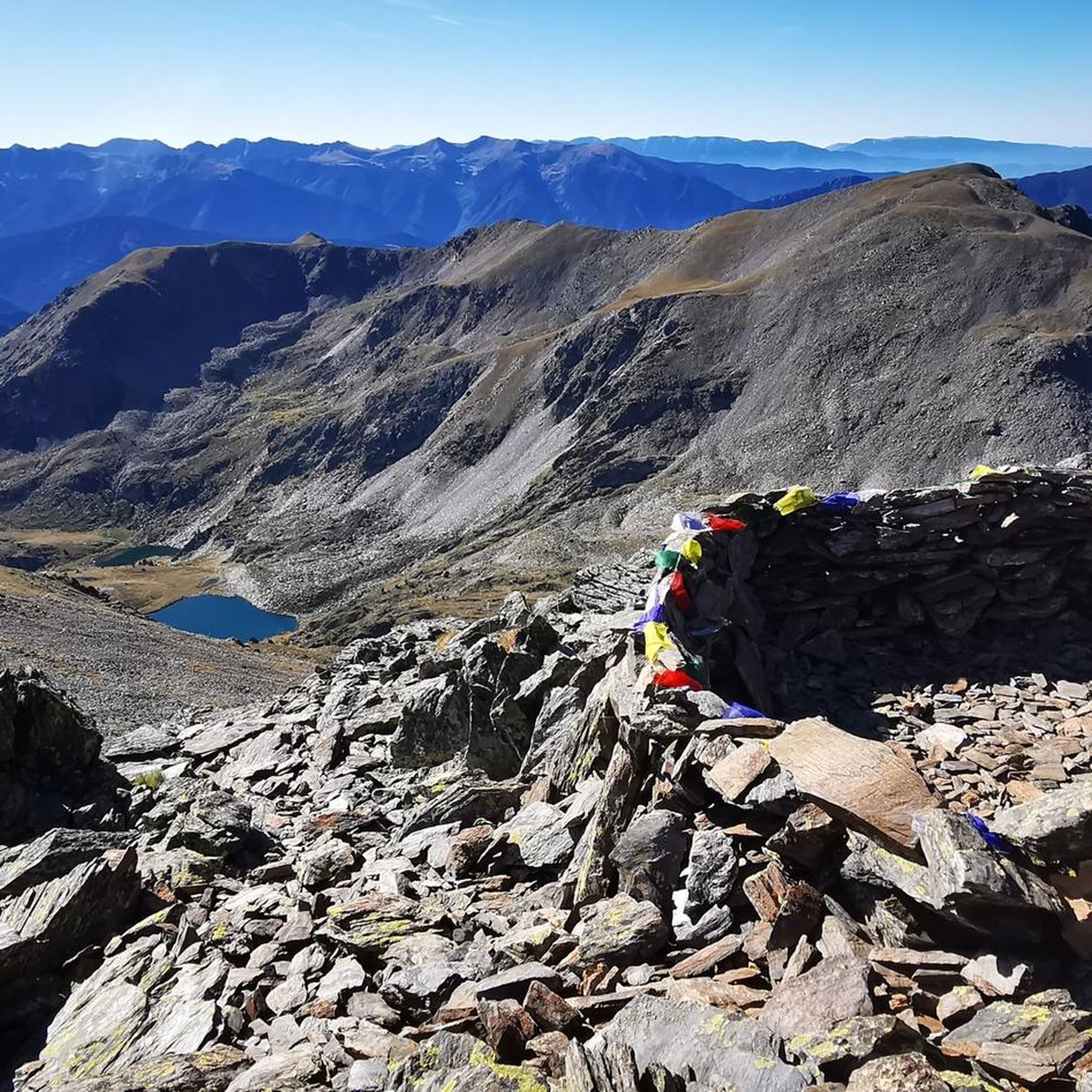
国境にある美しく、それほど難しくなく到達できる頂上 🇦🇩🇫🇷😃。ただし、頂上付近では時折簡単なクライミング 😃 が必要です (⚠️ UIAA: I)。 周囲の湖の素晴らしい眺め 😃。
1
0


A mountain pass at 1980 masl marks the boundary between the Parishes of Ordino and Canillo. Beautiful views towards the valley of Encamp and Pic Casamanya arrives.
0
0

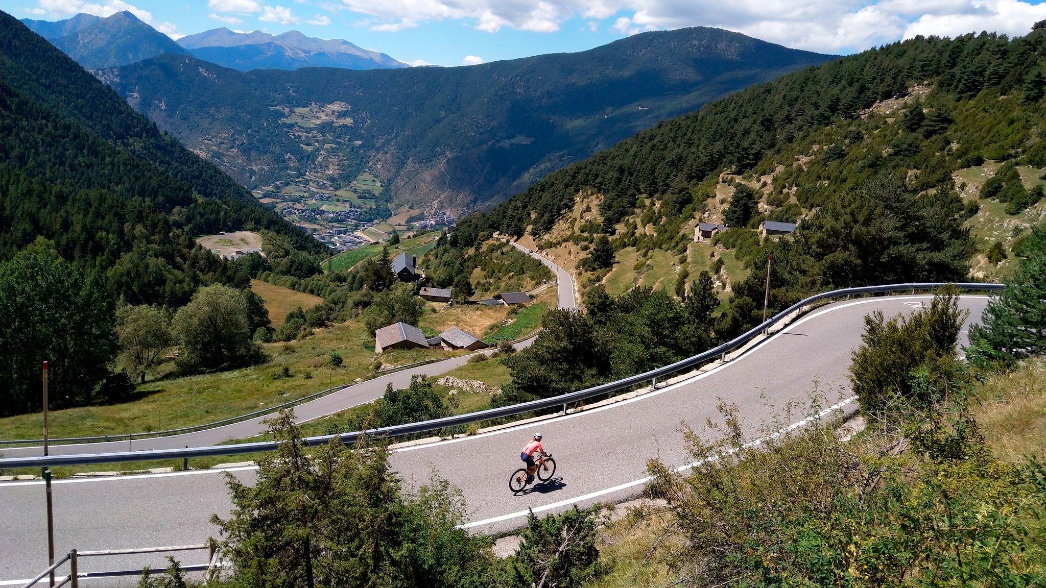
This is the highest point of the road that goes up to the summit of Arcalís, a beautiful road that reaches this high valley in this area of Andorra.
1
0
Mountain lakes that are located at the foot of Pic de Cataperdis and that are of glacial origin, are full of water. A pleasure runs through the paths that surround it.
0
0
オルディーノでのの人気観光スポット

komootモバイルアプリでインスピレーションを得よう


探していたものは見つかりませんでしたか?
オルディーノの下にある他のランニングトレイル & ルートをチェックして、目的地で完璧なルートを見つけましょう。
さらに探索
他の地域の最高のランニングトレイル & ルートを見てみましょう。
