オルディーノのおすすめMTBライド
4.1
(25)
1,041
ライダー
18
ライド
オルディーノでマウンテンバイクを楽しめば、アンドラのこのエリアをより深く知ることができます。このエリアを最大限に満喫できるように、komootがマウンテンバイクルートのコレクション全体を評価して選び抜いた人気ルートをご紹介します。次の冒険にぴったりのマウンテンバイクルートを見つけるには、以下のルートをクリックしてkomootのマウンテンバイクコミュニティのメンバーが投稿した役立つ情報や写真を閲覧し、各ルートに関してみんなが気に入った点などを参考にしましょう。
最終更新日: 10月 23, 2026
4.2
(9)
92
ライダー
難しいマウンテンバイクライド. ある程度のフィットネスレベルが必要です。 高度なライディングスキルが必要です。ツアーの一部で自転車を押して歩く必要があるかもしれません。
24
ライダー
22.5km
02:49
1,060m
1,060m
難しいマウンテンバイクライド. 標準以上のフィットネスレベルが必要です。 高度なライディングスキルが必要です。ツアーの一部で自転車を押して歩く必要があるかもしれません。

13
ライダー
22.9km
03:09
1,310m
1,290m
難しいマウンテンバイクライド. 標準以上のフィットネスレベルが必要です。 高度なライディングスキルが必要です。ツアーの一部で自転車を押して歩く必要があるかもしれません。
5
ライダー
25.7km
03:15
1,380m
1,370m
難しいマウンテンバイクライド. 標準以上のフィットネスレベルが必要です。 高度なライディングスキルが必要です。ツアーの一部で自転車を押して歩く必要があるかもしれません。
31.1km
04:02
1,640m
1,640m
難しいマウンテンバイクライド. 標準以上のフィットネスレベルが必要です。 高度なライディングスキルが必要です。
3
ライダー
11.4km
02:13
740m
740m
難しいマウンテンバイクライド. ある程度のフィットネスレベルが必要です。 高度なライディングスキルが必要です。ツアーの一部で自転車を押して歩く必要があるかもしれません。
5.99km
00:42
240m
250m
初級者向けMTBライド. あらゆるフィットネスレベルに適しています。 あらゆるスキルレベルに適しています。
18.6km
03:07
1,700m
1,700m
難しいマウンテンバイクライド. 標準以上のフィットネスレベルが必要です。 高度なライディングスキルが必要です。
3.7
(3)
469
ライダー
59.2km
06:35
2,100m
2,100m
難しいマウンテンバイクライド. 標準以上のフィットネスレベルが必要です。 高度なライディングスキルが必要です。ツアーの一部で自転車を押して歩く必要があるかもしれません。
4.4
(10)
221
ライダー
24.8km
02:11
550m
550m
中程度のマウンテンバイクライド. ある程度のフィットネスレベルが必要です。 高度なライディングスキルが必要です。
さらに多くのルートや他のユーザーのおすすめ情報を確認できます。
すでにアカウントをお持ちですか?
おすすめのツアーは他のkomootユーザーが実際に経験した何千ものアクティビティに基づいています。
無料アカウントで今日から始めよう
次の冒険が待っています。
オルディーノ周辺で人気



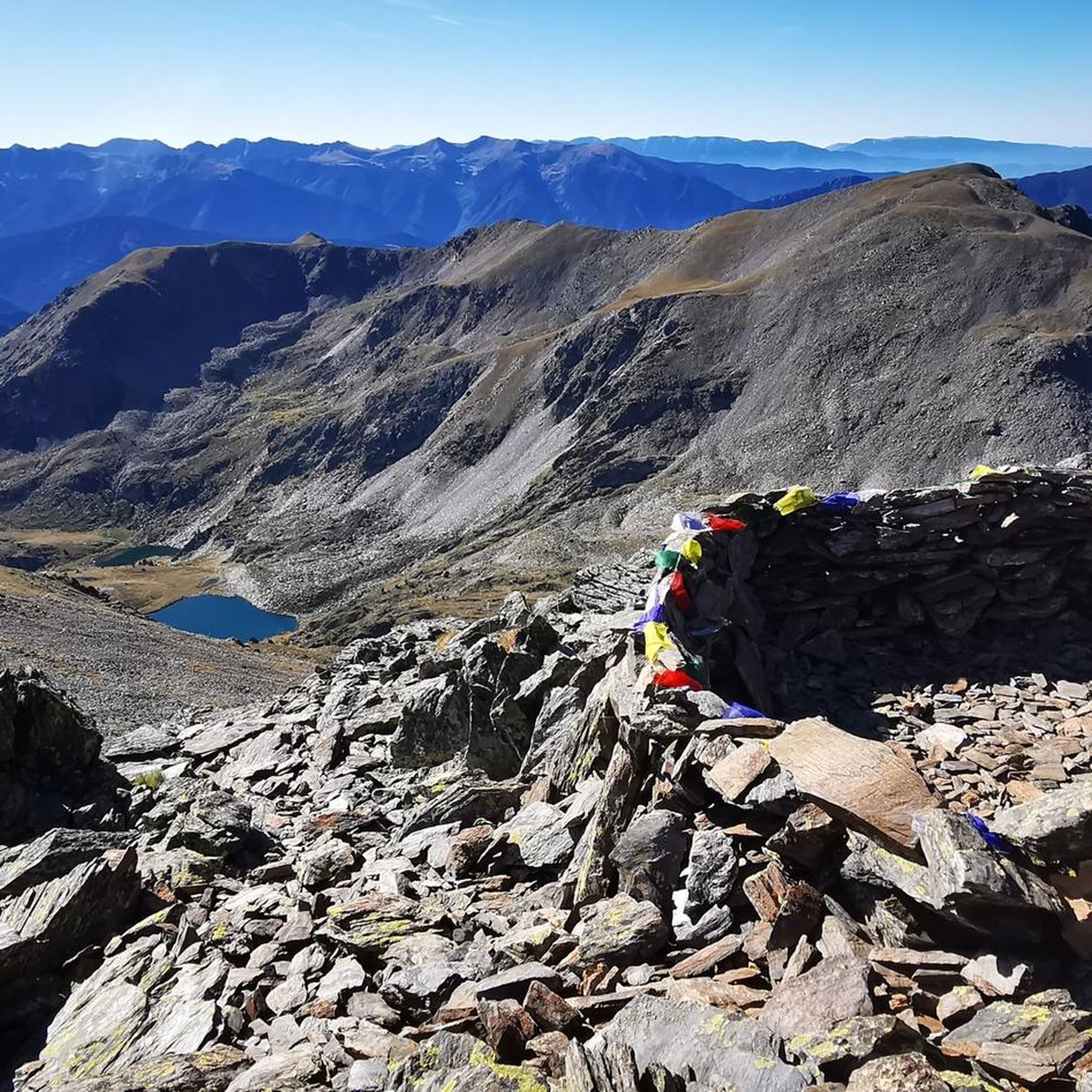
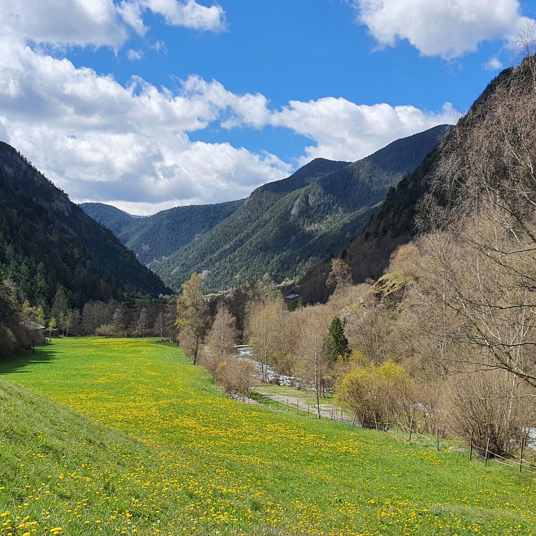
オルディーノでのの他の冒険


コミュニティからのヒント


Solar viewpoint on the Peyraguils pass or summit, a metal structure that allows a 360° view of the valleys of the Andorran Pyrenees and the Aran Valley, with views of Aneto.
2
0

Here again: Someone is rating ALL photos of highlights in this region (Northwest Pyrenees) "not accurate," even though they accurately depict the location? Why does anyone need to do that? Is it jealousy? Does someone want to drag down others' "expert" ratings? How pathetic.
1
1

The Cabús Pass is a mountain pass that crosses the Pyrenees at 2,302 m above sea level. It is located on the border between Andorra and Spain, between the parish of La Massana and the municipality of Alins. Only the Andorran side is paved. From Alins, in the High Pyrenees, the climb is impressive and involves paths and trails that are not always in good condition.
0
0


The distance from the starting point in the village of Llorts to the lakes of l'Angonella is approximately 6 kilometres one way. The terrain is varied, starting with a dirt track that turns into a more technical and rocky path as you ascend. The route passes through forests and alpine meadows, and in the later sections, the terrain becomes rougher with sections of loose stone and areas of high mountain. This route is considered to be of high difficulty due to the combination of distance, gradient and the technical nature of the terrain, especially in the final sections near the lakes. It is suitable for experienced cyclists who are looking for a challenge and enjoy the high mountains.
0
0
ここはアンドラでマウンテンバイク(MTB)とeBikeでアクセスできる最も高い地点の1つです。その壮大な環境と登りがもたらす挑戦により、サイクリストの間で人気の目的地となっています。 Ordino Arcalísスキー場からLes Portellesの頂上までの出発点は、約7.5キロメートルです。 累積標高差は大きく、スキー場の麓から標高約2,560メートルのLes Portellesの頂上まで700メートルの垂直上昇があります。 地形は変化に富み、最初の区間はアスファルト、登るにつれて未舗装路や砂利道が混在します。特に頂上付近では、岩や傾斜が難易度を増し、地形がよりテクニカルになります。 標高差と地形の状況から、この登りは高難易度とされています。MTBサイクリストとeBikeユーザーの両方にとって厳しいルートであり、高地の標高と変化しやすい山の天候がもたらす追加の挑戦を楽しむことができるでしょう。
0
0
Arcalís 91, also known as The Ring of Ordino, is a steel sculpture created by Italian artist Mauro Staccioli in 1991. Located in the Ordino Arcalís ski resort in Andorra, the sculpture is a giant ring that symbolizes perfection and eternity. It is strategically placed to frame the surrounding mountain landscape, creating a stunning visual effect. The work represents the opposition between natural law and human law, highlighting the contrast between the simplicity of the ring and the complexity of the nature that surrounds it.
1
0
オルディーノでのの人気観光スポット

komootモバイルアプリでインスピレーションを得よう


探していたものは見つかりませんでしたか?
オルディーノの下にある他のMTBトレイルをチェックして、目的地で完璧なルートを見つけましょう。
さらに探索
他の地域の最高のMTBトレイルを見てみましょう。
