ソンプティングの絶景の山頂・トップ13
絶景を目指して登るのであれ、達成感のために登るのであれ、山頂を訪れることで、ソンプティングの美しい自然をもっと満喫することができます。13
もの選択肢の中から、制覇する山頂を決めるのは簡単ではありません。スムーズに次の冒険で目指す山頂を選べるように、ソンプティングの素晴らしい山頂をこのガイドにまとめました。
最終更新日: 8月 23, 2026
チャンクトンベリー・リング(丘上の古代要塞)
ハイライト • 歴史的な場所
役立つ情報 は

シスバリー・リング(丘の砦)
ハイライト • 歴史的な場所
役立つ情報 は
今すぐサインアップして、こんな場所を発見しよう
最高のシングルトラック、ピーク、その他のエキサイティングなアウトドアスポットのおすすめを受け取ろう。
無料新規登録
デビルズ・ダイク三角点
ハイライト • 展望台
Here you will find the trig point of Devil's Dyke, standing tall …
役立つ情報 は

Chantry Hill
ハイライト • 展望台
役立つ情報 は
サウスダウンズ・ウェイのバーンズファーム・ヒル
ハイライト (セグメント) • 展望台
This climb or descent is …
役立つ情報 は

無料でサインアップして、さらに多くの山を発見しましょう ソンプティングでの。
無料新規登録
すでにアカウントをお持ちですか?
無料アカウントで今日から始めよう
次の冒険が待っています。
ログインまたは登録

コミュニティからのヒント

Devil’s Dyke is the largest chalk land dry combe in Britain and an area of great beauty. It is a V-shaped valley that has the South Downs Way traversing it immediately south of its location. It also has a multivallate Iron Age hill fort adjacent to it to the west, where on some high ground there is a trig pint that sits on the southern rampart of the fort. At just over 710 feet high (217 m), it is not very high, but the views out over Adder Bottom and the South Downs towards the coast are superb.
2
0
Nice trig point placed on one of the actual ramparts of an Iron Age hillfort.
0
0
Chantry Hill is adjacent to Kithurst Hill and provides another route to this accessible trig point. The paths and wide open views down over the South Downs are stunning.
0
0
Cissbury Ring is one of the jewels in the crown of the new South Downs National Park. It's the largest hill fort in Sussex and has a history dating back over 5,000 years. Set high up on a chalk promontory, its ditch and ramparts enclose about sixty-five acres. From the top on a clear day you can see forever, with views across to the chalk cliffs beyond Brighton and as far as the Isle of Wight.
0
0
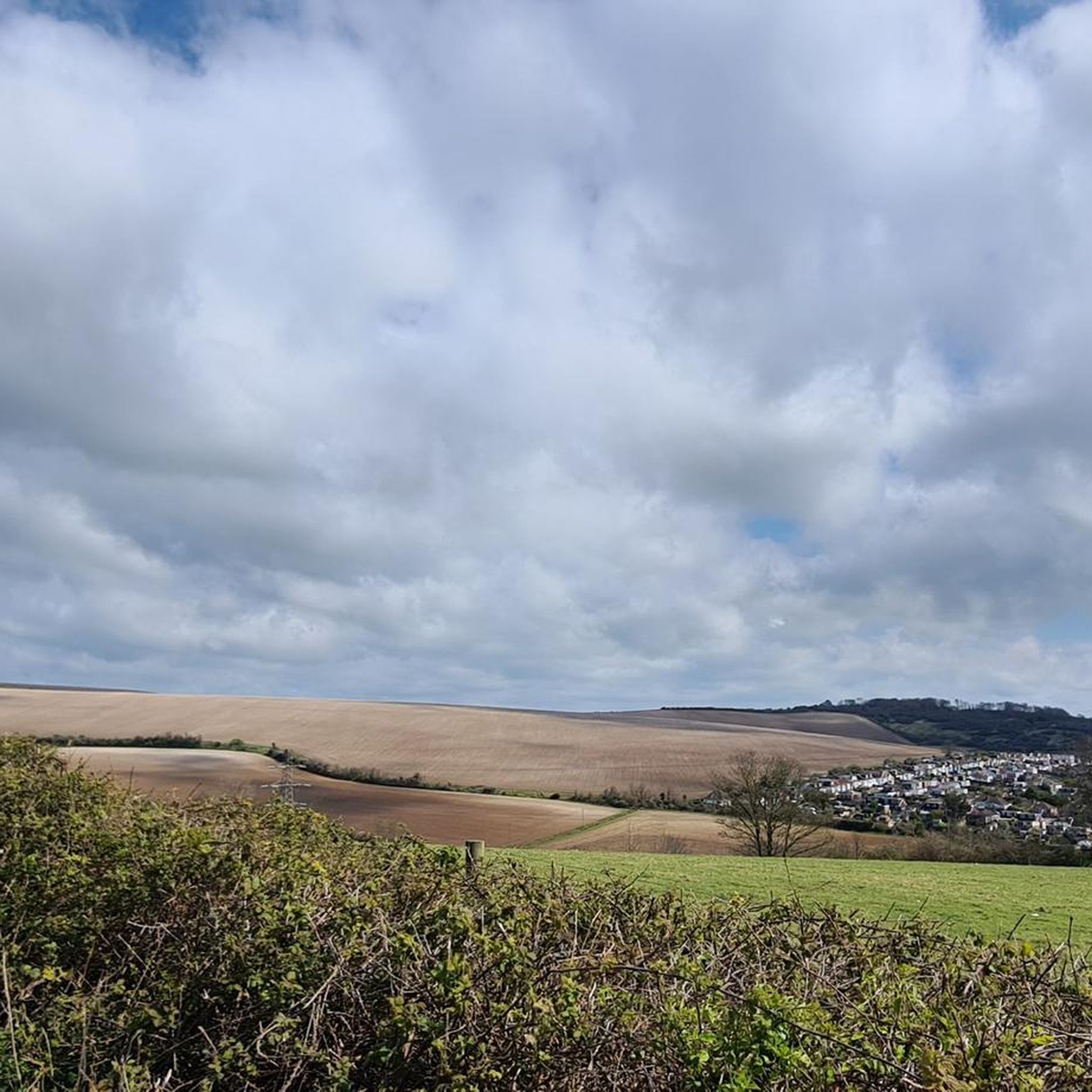
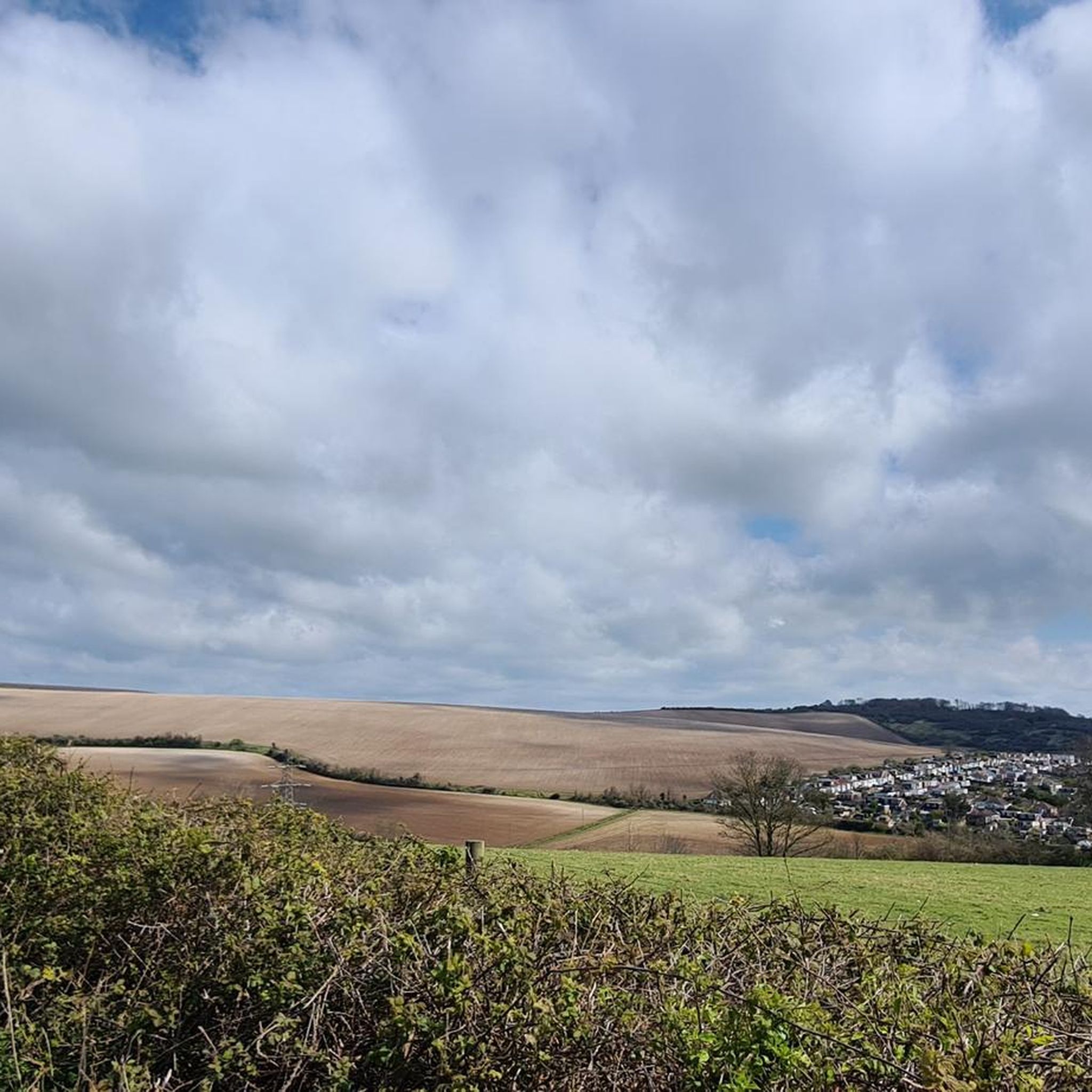
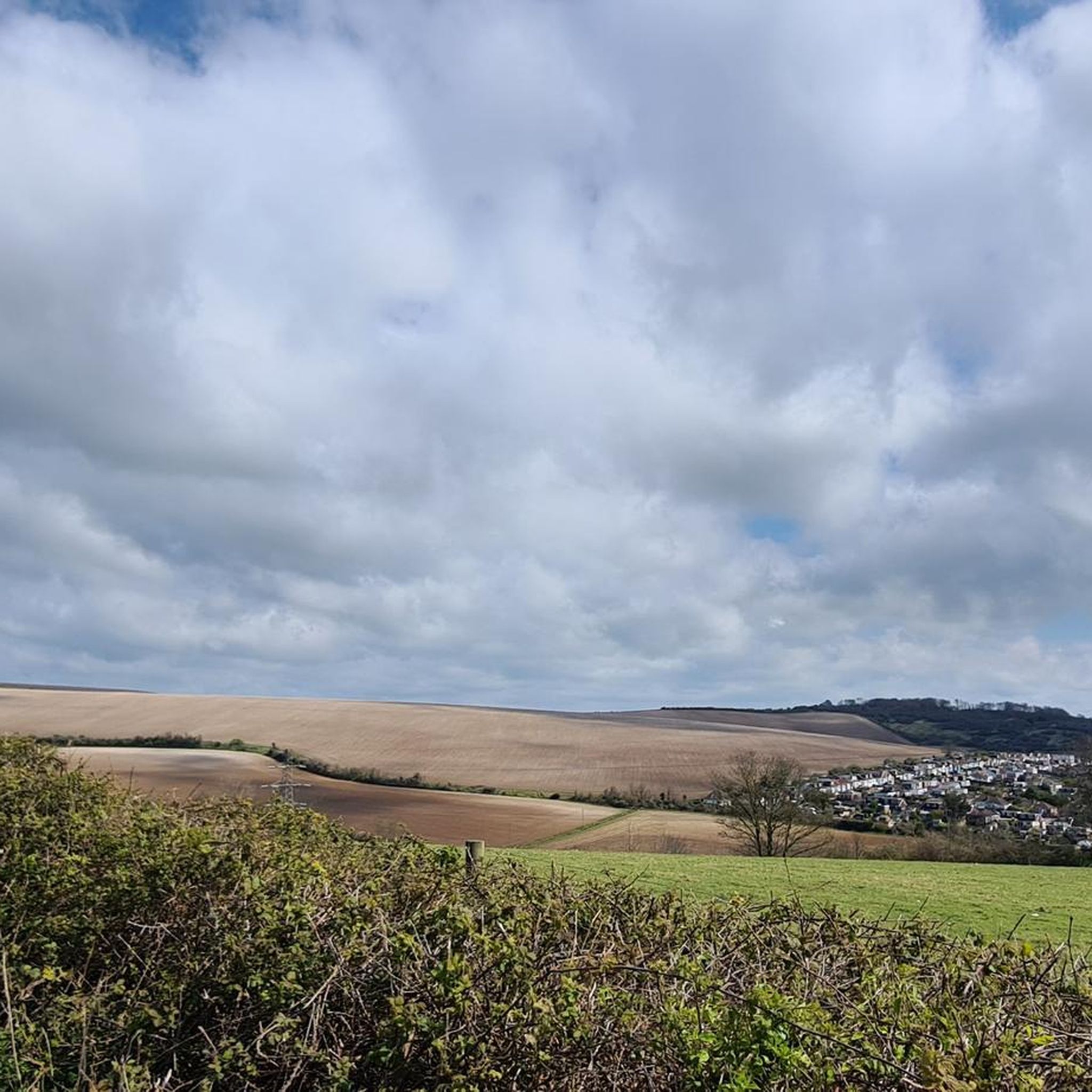
This is a beautiful spot with expansive views out North over the rolling South Downs countryside giving you a lush patchwork of quilted green fields. There is also a sturdy bench to take the weight off your feet and super cool Cissbury Ring just behind you.
1
0

Not as steep as some sections up to the South Downs Way but when you get to the top it is worth every fast heart beating moment and the decent is exilerating!
1
0

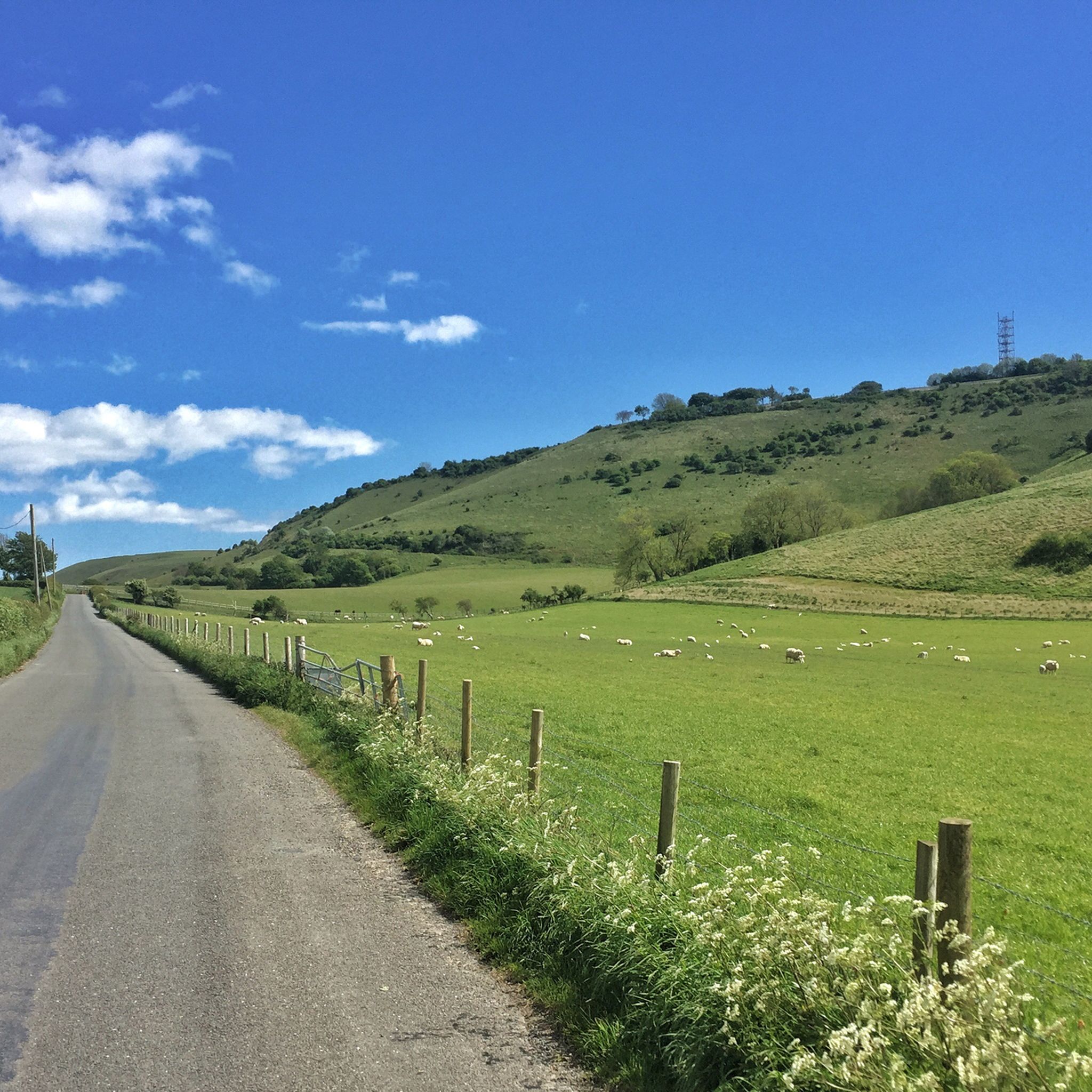
Devil's Dyke is a V-shaped valley situated in the South Downs National Park, not too far from Brighton. Here you will find the trig point of Devil's Dyke, standing tall at 217 m. From here, you will be afforded some magnificent views across the valley and rolling hills of the surrounding countryside.
2
0
Chanctonbury Ring is a prehistoric hill fort atop Chanctonbury Hill on the South Downs, on the border of the civil parishes of Washington and Wiston in the English county of West Sussex. It is 242m high and is a designated Marilyn. There is a trig point on a nearby sub-summit.
3
0
ソンプティングでのの人気観光スポット

komootモバイルアプリでインスピレーションを得よう


