タイスハーストのおすすめウォーキング&ハイキングルート
4.4
(920)
5,226
ハイカー
35
ハイキング
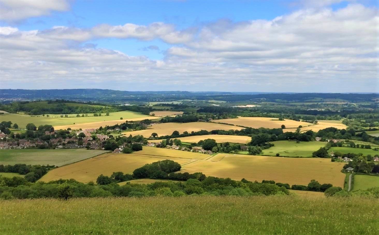
タイスハースト 周辺でおすすめのハイキングやウォーキングを楽しんでいただけるように、このエリアの小径やルートを集めたkomootコレクション全体を見直しました。 以下で各ルートの詳細をご覧になり、タイスハースト周辺の大自然を満喫する際の参考にしてください。
最終更新日: 8月 30, 2026
4.3
(15)
28
ハイカー
13.5km
03:32
100m
100m
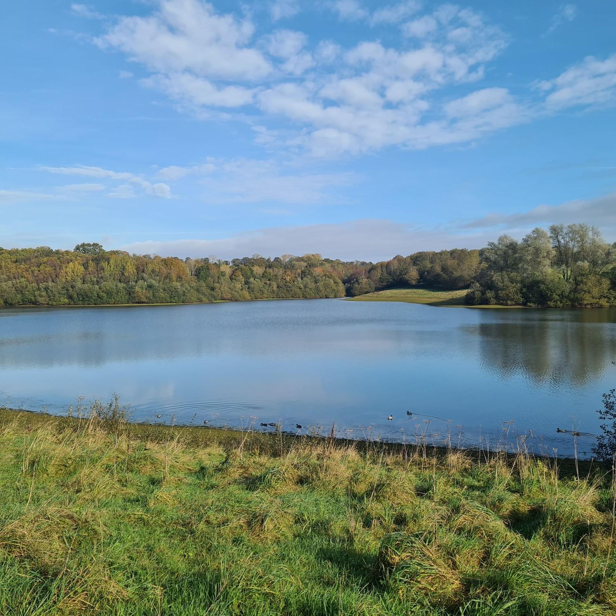
Embark on the Ticehurst to Bewl Water circular walk, a moderate hike that guides you through a delightful mix of ancient woodlands, open countryside, and scenic reservoir paths. You will…
4.9
(7)
70
ハイカー
9.56km
02:34
120m
120m
中程度のハイキング. ある程度のフィットネスレベルが必要です。 進みやすいルートです。あらゆるスキルレベルに適しています。

無料新規登録
4.5
(11)
132
ハイカー
9.17km
02:23
60m
60m
中程度のハイキング. ある程度のフィットネスレベルが必要です。 進みやすいルートです。あらゆるスキルレベルに適しています。
4.4
(5)
17
ハイカー
9.66km
02:33
80m
80m
中程度のハイキング. ある程度のフィットネスレベルが必要です。 進みやすいルートです。あらゆるスキルレベルに適しています。
28
ハイカー
15.1km
04:04
190m
190m
中程度のハイキング. ある程度のフィットネスレベルが必要です。 進みやすいルートです。あらゆるスキルレベルに適しています。
さらに多くのルートや他のユーザーのおすすめ情報を確認できます。
無料新規登録
すでにアカウントをお持ちですか?
おすすめのツアーは他のkomootユーザーが実際に経験した何千ものアクティビティに基づいています。
無料アカウントで今日から始めよう
次の冒険が待っています。
ログインまたは登録

コミュニティからのヒント


Extensive forest and home to the National Pinetum. Many miles of great trails for family cycling and mountain biking, walking and running.
0
0

Always a lovely place to walk around, can be muddy in some spots depending on the time of the year
0
0

Very close to the southern part of Bewl Water, it's a great spot if you want to stop for a meal or simply to refresh yourself. It has a spacious garden with tables and benches.
0
0
In this church, there is a brass memorial to John Wyborne and his wives, Cecily and Agnes. While the oldest parts date back to the 13th century, the majority of the building is from the 14th century. It is a Grade II listed building.
0
0

The café at the visitor centre is a good place for a pre- or post-run drink, snack or meal. Sit out on the large terrace and enjoy the view.
0
0
The visitor centre has a shop, café, toilets and information about the forest, You can pick up a leaflet of the waymarked running and walking trails here or see them on the big map. The café is open daily from 8:30. They serve drinks, snacks and light meals with indoor or outdoor seating.
0
0
The visitor centre has a shop, café, toilets and information about the forest, You can pick up a leaflet of the waymarked walking trails here or see them on the big map. The café is open daily from 8:30. They serve drinks, snacks and light meals with indoor or outdoor seating.
0
0
タイスハーストでのの人気観光スポット

komootモバイルアプリでインスピレーションを得よう


さらに探索
他の地域の最高のハイキングを見てみましょう。
