ダーリーのおすすめウォーキング&ハイキングルート
4.4
(373)
2,975
ハイカー
205
ハイキング
ダーリー 周辺でおすすめのハイキングやウォーキングを楽しんでいただけるように、このエリアの小径やルートを集めたkomootコレクション全体を見直しました。 以下で各ルートの詳細をご覧になり、ダーリー周辺の大自然を満喫する際の参考にしてください。
最終更新日: 9月 15, 2026
5.0
(1)
10
ハイカー
10.7km
02:43
20m
20m
中程度のハイキング. ある程度のフィットネスレベルが必要です。 進みやすいルートです。あらゆるスキルレベルに適しています。
3.0
(3)
4
ハイカー
16.8km
04:14
20m
20m
中程度のハイキング. ある程度のフィットネスレベルが必要です。 進みやすいルートです。あらゆるスキルレベルに適しています。

5
ハイカー
4.57km
01:10
20m
20m
初級者向けハイキング. あらゆるフィットネスレベルに適しています。 進みやすいルートです。あらゆるスキルレベルに適しています。
6
ハイカー
9.68km
02:28
30m
30m
中程度のハイキング. ある程度のフィットネスレベルが必要です。 進みやすいルートです。あらゆるスキルレベルに適しています。
4.0
(1)
10
ハイカー
19.1km
04:51
50m
50m
中程度のハイキング. ある程度のフィットネスレベルが必要です。 進みやすいルートです。あらゆるスキルレベルに適しています。
さらに多くのルートや他のユーザーのおすすめ情報を確認できます。
すでにアカウントをお持ちですか?
おすすめのツアーは他のkomootユーザーが実際に経験した何千ものアクティビティに基づいています。
無料アカウントで今日から始めよう
次の冒険が待っています。
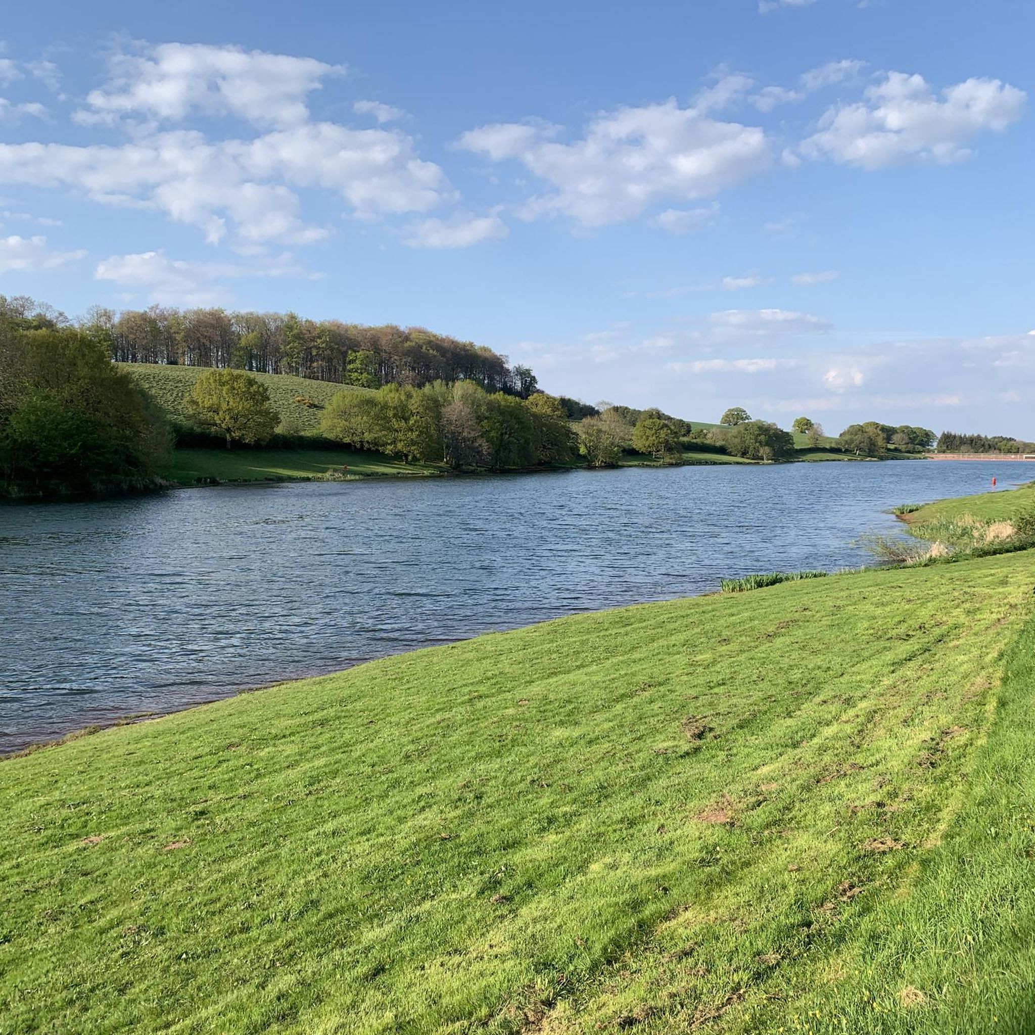

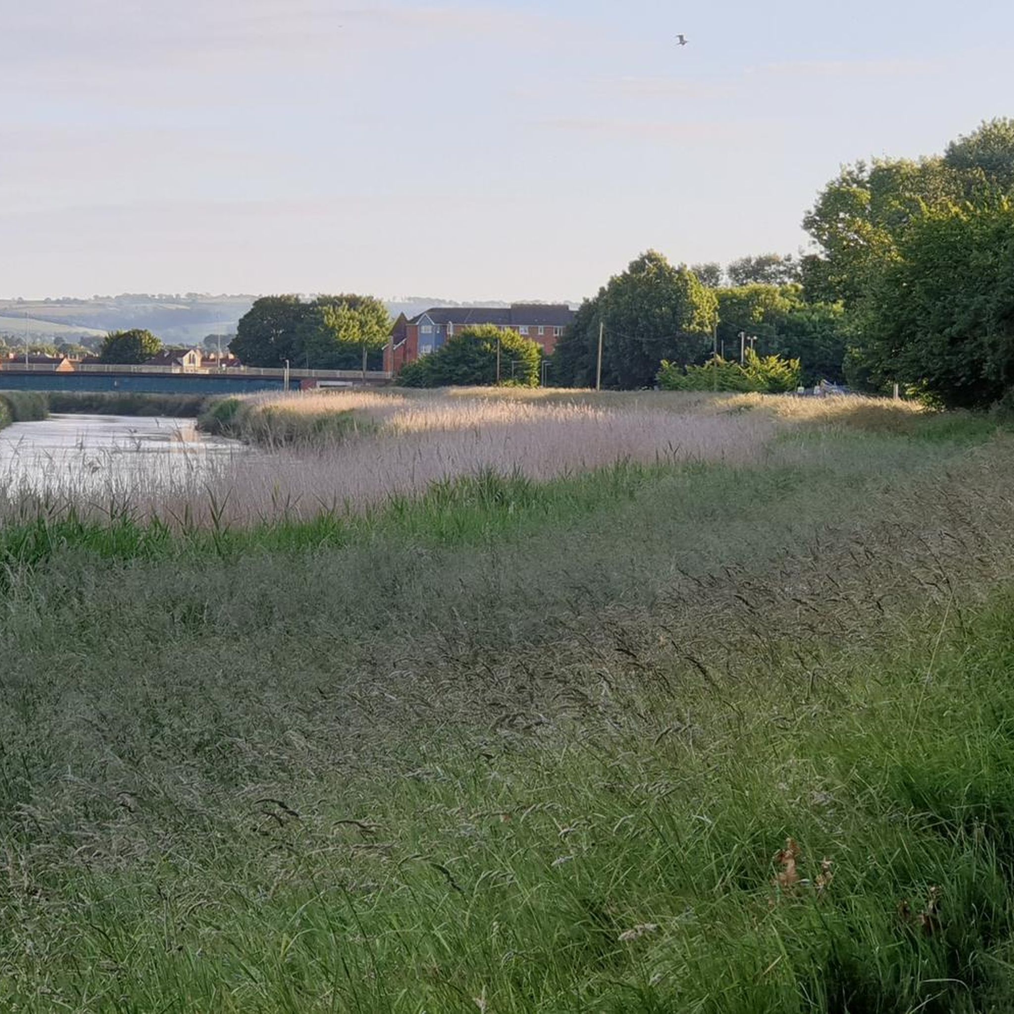
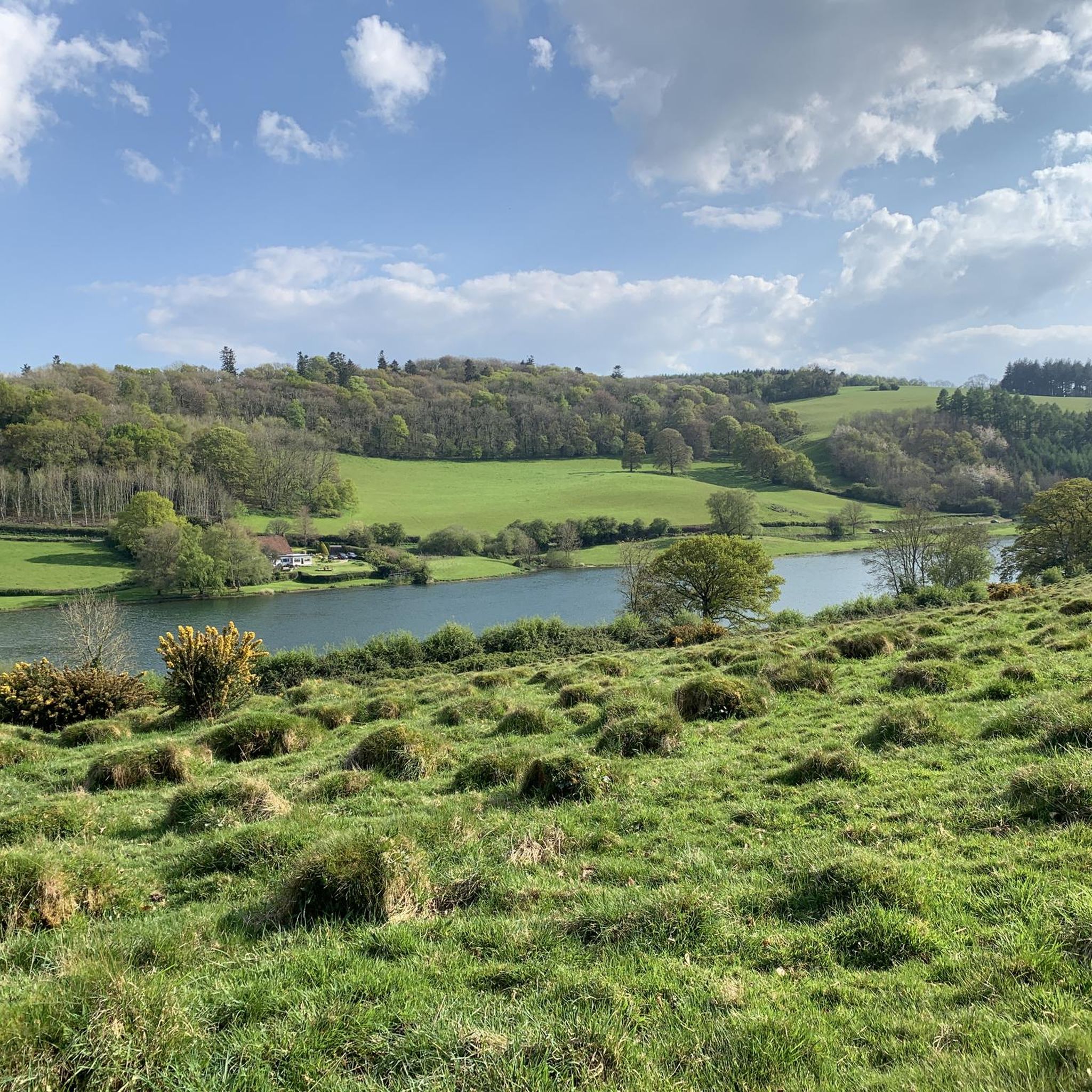
コミュニティからのヒント


Use fat tyres with tread
0
0


Several cafes in the area for refreshment and some interesting historical sites around the docks
0
0


Bridgwater hasn't got its name for no reason. This thriving town has both the River Parrett and the Bridgwater & Taunton Canal winding through its heart. The canal is particularly lovely, with vibrant banks, old brick bridges and peaceful vistas. At only 14.5 miles (23.3 km) long, the canal links Bridgwater to Taunton and you can walk the entirety. This portion in Bridgwater makes for a lovely stroll and is part of the Samaritans Way South West footpath.
4
0
‘Clyce’ or ‘clyse’ is a regional word for sluice and you’ll find many if you walk along the River Parrett. The Somerset Levels is reclaimed land and barely above sea level, resulting in a sprawling wetland area. The water management of the Levels has been going for hundreds, if not thousands of years and sluices are an important part of controlling the run-off from the rivers. Many of the clyces you’ll find have been in place for a considerable amount of time and are a fascinating part of the local history. New ones are still built today.
3
0
While the River Parrett is tidal all the way up to Oath, further inland, Dunball is the first point at which mudflats are particularly evident. When the tide is low, the mud here is filled with birds, hunting around for snacks. Dunball is also a working dockyard, the last on the River Parrett. It’s evidence of this river’s industrial past and the docks can be clearly seen from the River Parrett Trail on the southern bank.
2
0
ダーリーでのの人気観光スポット

komootモバイルアプリでインスピレーションを得よう


さらに探索
他の地域の最高のハイキングを見てみましょう。
