ウォルディンガムのおすすめランニングルート
4.3
(89)
7,656
ランナー
540
ランニング
ウォルディンガムでランニングを楽しめば、このエリアをより深く知ることができます。ランニングに適した美しいルートが見つかるように、komootがウォルディンガムでのルートのコレクション全体を評価して選び抜いた、人気ランニングトレイルをご紹介します。ルートをクリックして詳細を表示し、他のユーザーがアップロードした役立つ情報や写真を閲覧しましょう。
最終更新日: 8月 25, 2026
5.0
(1)
12
ランナー
9.01km
01:03
180m
180m
中程度のジョギング. ある程度のフィットネスレベルが必要です。 全般的に進みやすいルートです。一部で、安定して歩行できる技術が必要です。
43
ランナー
9.69km
01:01
70m
70m
中程度のジョギング. ある程度のフィットネスレベルが必要です。 全般的に舗装された状態です。あらゆるスキルレベルに適しています。

無料新規登録
1.0
(1)
30
ランナー
20.6km
02:20
370m
370m
難しいジョギング. 標準以上のフィットネスレベルが必要です。 全般的に舗装された状態です。あらゆるスキルレベルに適しています。
32
ランナー
12.5km
01:20
100m
100m
中程度のジョギング. ある程度のフィットネスレベルが必要です。 全般的に舗装された状態です。あらゆるスキルレベルに適しています。
14
ランナー
31.1km
03:31
520m
520m
難しいジョギング. 標準以上のフィットネスレベルが必要です。 全般的に舗装された状態です。あらゆるスキルレベルに適しています。
さらに多くのルートや他のユーザーのおすすめ情報を確認できます。
無料新規登録
すでにアカウントをお持ちですか?
おすすめのツアーは他のkomootユーザーが実際に経験した何千ものアクティビティに基づいています。
無料アカウントで今日から始めよう
次の冒険が待っています。
ログインまたは登録



コミュニティからのヒント

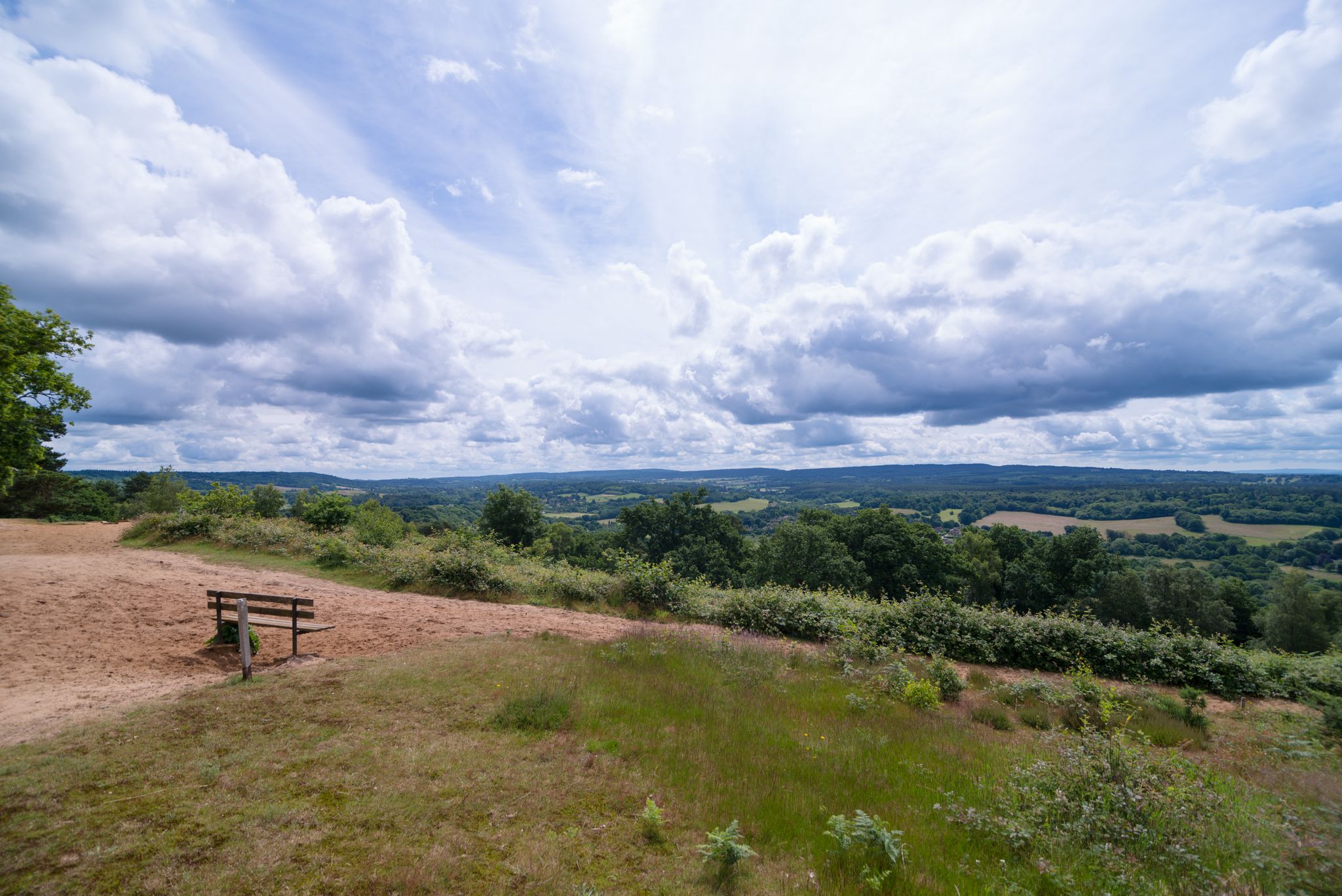
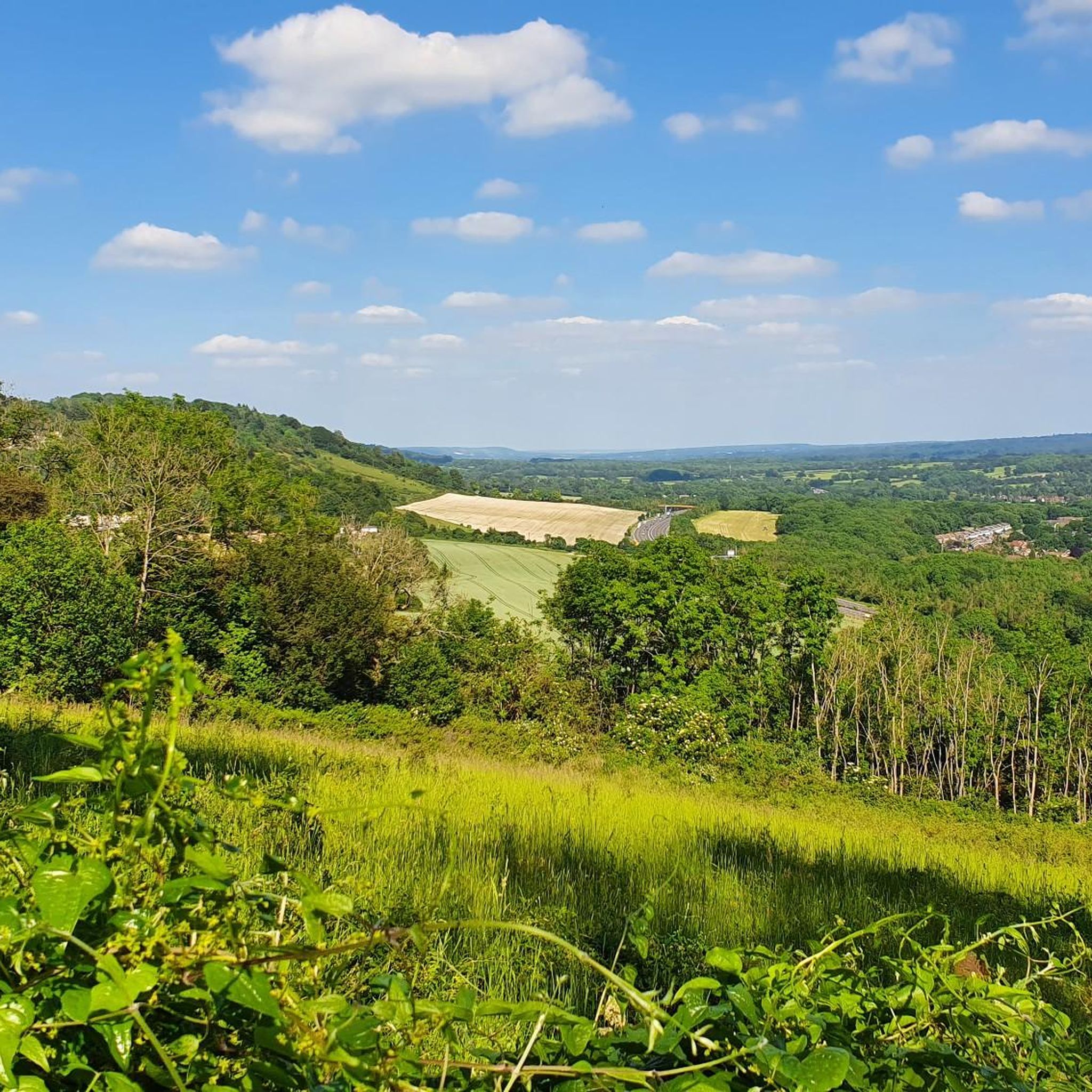
Lovely view when weather clear. Fun working out what can be seen in the distance.
0
0

The very modern monument we encounter here was erected to mark the turn of the millennium, from the end of the 20th century to the 21st century. Nevertheless, its formal language draws on ancient models that take us far back into the past, several millennia before Christ.
0
0
The "invention" of the prime meridian - or more precisely, the scientifically based division of the globe into longitude and latitude, with the prime meridian running through this point as the central orientation line - in the second half of the 19th century was an epochal masterpiece in the field of cartography and navigation, at that time of particular importance for seafaring. Even today, in the age of modern GPS navigation based on satellites orbiting the earth, coordinates based on this principle are still used to determine locations.
1
0

The Greenwich meridian is a prime meridian, a geographical reference line that passes through the Royal Observatory, Greenwich, London, England dividing the world into East and West. From 1884-1974 the GML was used worldwide for timekeeping and navigation. Since 1974, the Meridian, is based on the Greenwich meridian but differs slightly. - Anytime I encounter the GML I always find it fun to jump over it, cartwheel 🤸 if you can! Do it as a group! There’s always a couple of giggles, even if they’re solo giggles 🤭
1
0

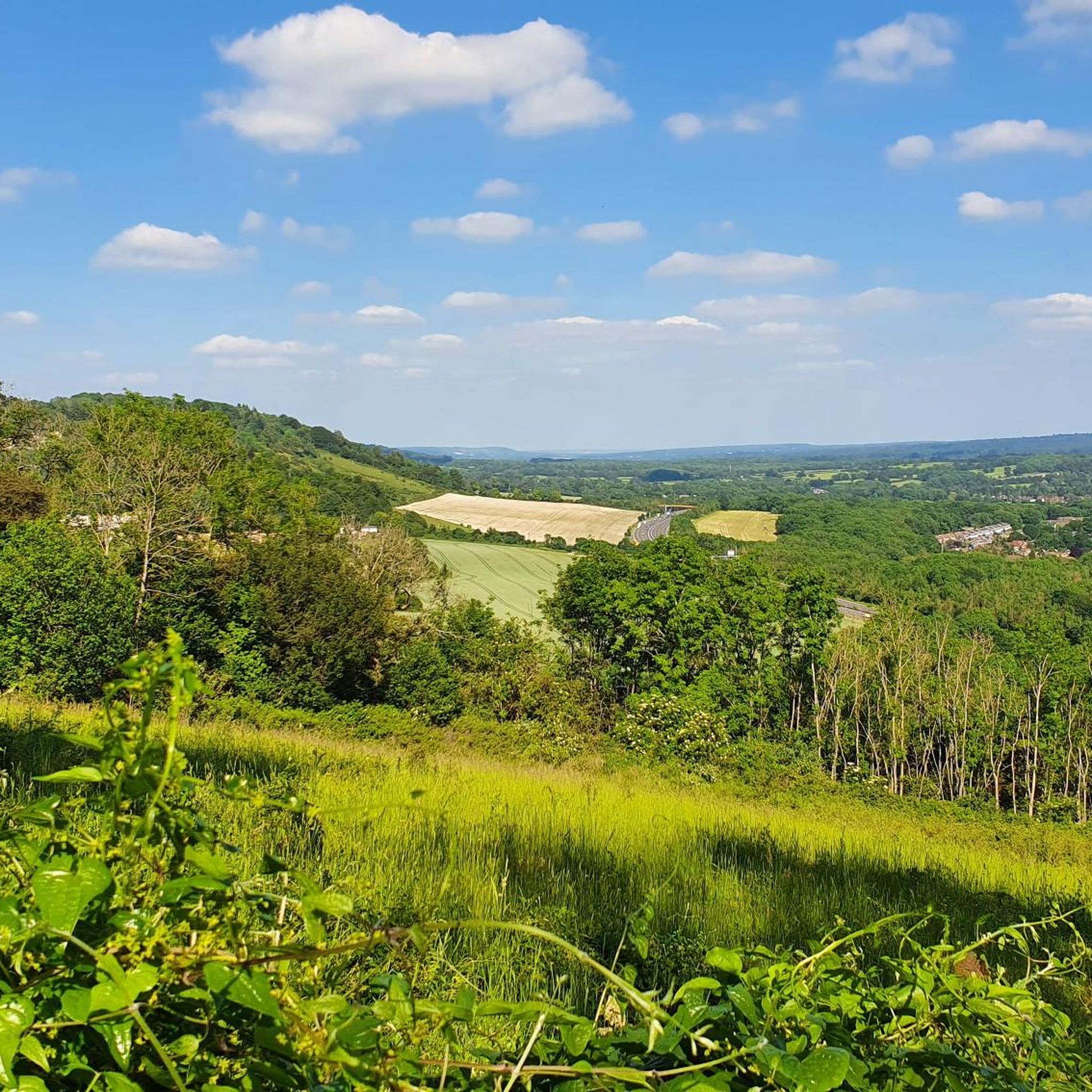
A nice spot to see birds of prey swooping over the fields below. Just a shame about the 8 lanes of traffic!
0
0

Nice bench to sit & enjoy the view before the hill climb
0
0

The woodland opens up to stunning views to the south, over the vineyard and to Godstone.
0
0
The handy bench makes it very tempting to take a quick rest.
0
0
ウォルディンガムでのの人気観光スポット

komootモバイルアプリでインスピレーションを得よう


さらに探索
他の地域の最高のランニングトレイル & ルートを見てみましょう。
