リーズダウンのおすすめランニングルート
4.5
(39)
3,799
ランナー
267
ランニング
リーズダウンでランニングを楽しめば、このエリアをより深く知ることができます。ランニングに適した美しいルートが見つかるように、komootがリーズダウンでのルートのコレクション全体を評価して選び抜いた、人気ランニングトレイルをご紹介します。ルートをクリックして詳細を表示し、他のユーザーがアップロードした役立つ情報や写真を閲覧しましょう。
最終更新日: 11月 8, 2026
5.0
(1)
18
ランナー
9.75km
01:07
20m
20m
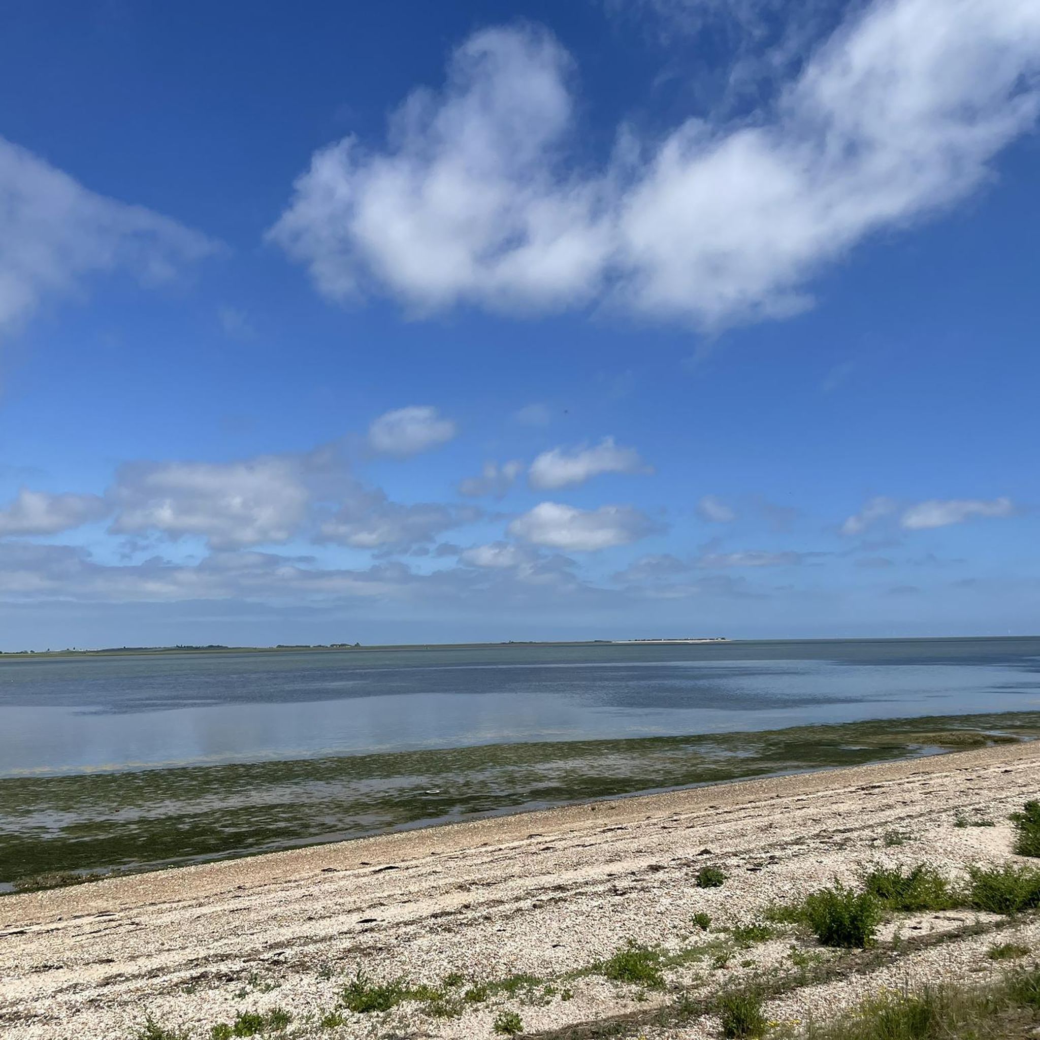
Explore the Swale National Nature Reserve & Shellbeach loop, a moderate jogging route spanning 6.1 miles (9.7 km) with a minimal 59 feet (18 metres) of elevation gain, typically completed…
31
ランナー
10.1km
01:05
30m
30m
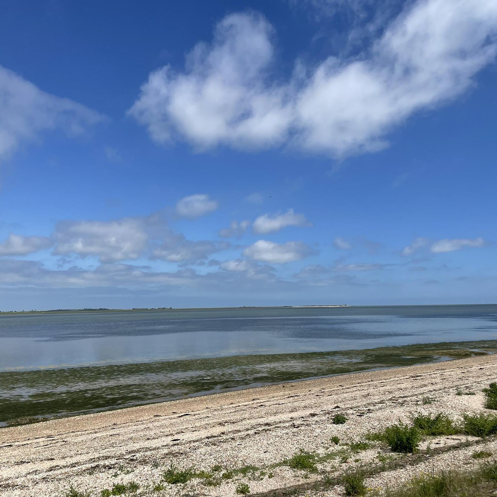
中程度のジョギング. ある程度のフィットネスレベルが必要です。 ほとんどが舗装路です。

5.0
(1)
64
ランナー
6.96km
00:45
20m
20m
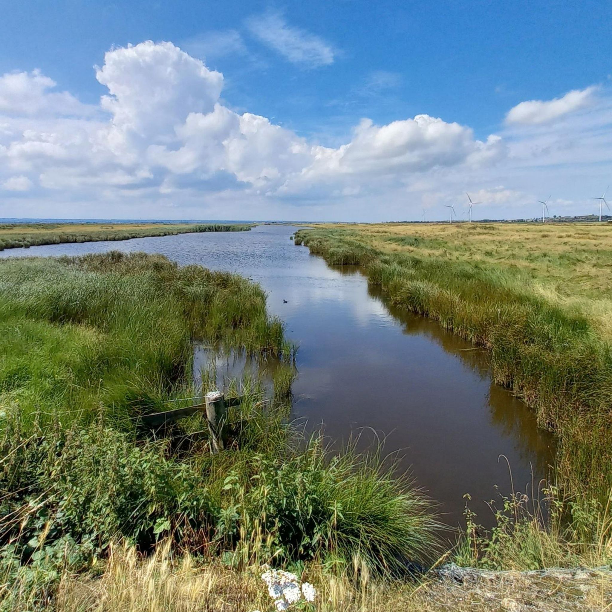
中程度のジョギング. ある程度のフィットネスレベルが必要です。 ほとんどが舗装路です。
12
ランナー
18.0km
02:00
60m
60m
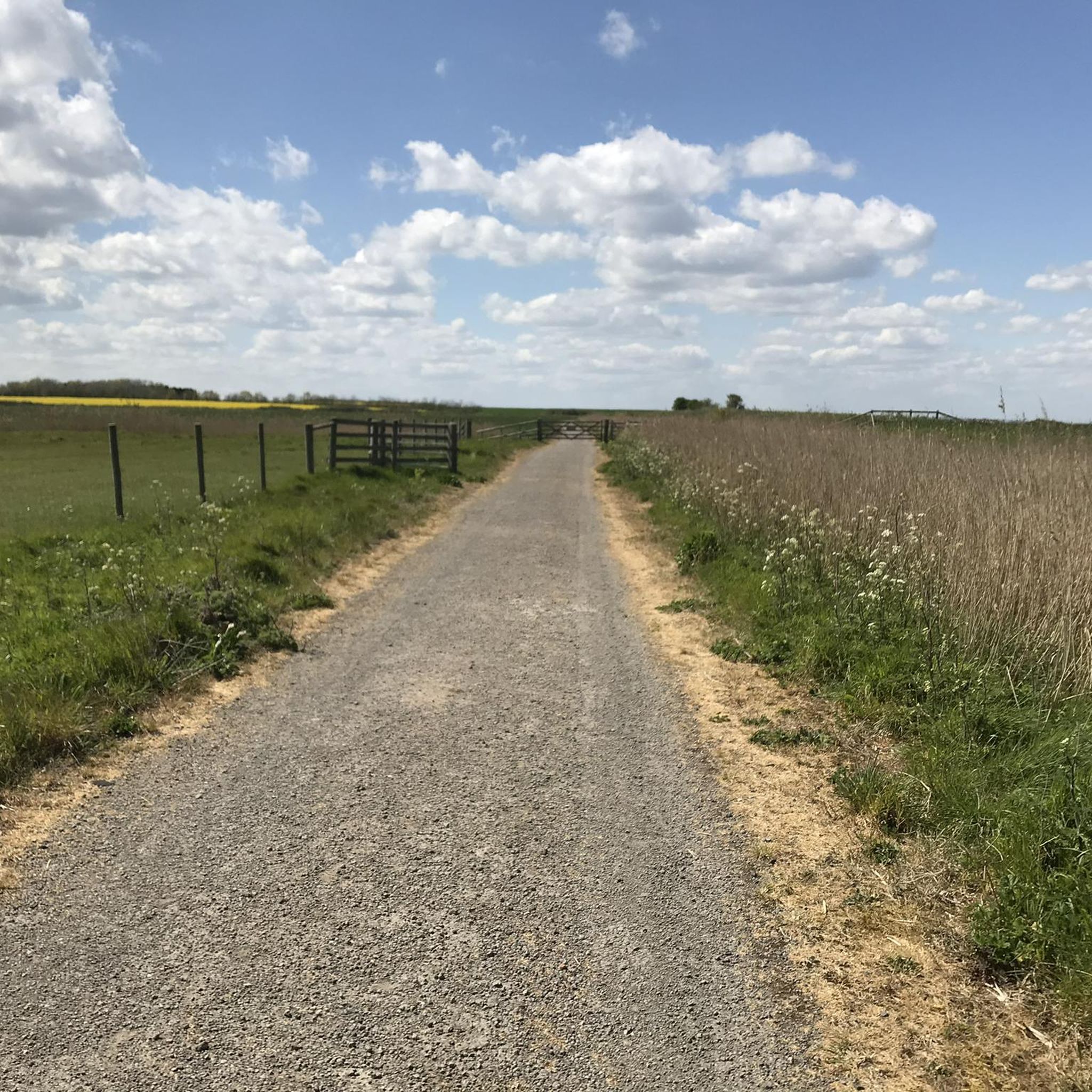
難しいジョギング. 標準以上のフィットネスレベルが必要です。 ほとんどが舗装路です。
21
ランナー
5.44km
00:37
10m
10m
中程度のジョギング. ある程度のフィットネスレベルが必要です。 ほとんどが舗装路です。
さらに多くのルートや他のユーザーのおすすめ情報を確認できます。
すでにアカウントをお持ちですか?
おすすめのツアーは他のkomootユーザーが実際に経験した何千ものアクティビティに基づいています。
無料アカウントで今日から始めよう
次の冒険が待っています。
コミュニティからのヒント

ここから散歩を始めました。カニ探しやバードウォッチングに最適です。
0
0

Beer and pizza at the weekend or long summer evenings at papa bianco
0
0

Nice gravel ride along Faversham creek towards Whitstable
0
0

In the 12th century a highway was laid out as a grand approach to the Abbey which had survived Henry VIII's dissolution of the monasteries to become a residential area popular with anyone who owed their livelihood to the Creek, whether as merchant, craftsman or seaman. Toward the end of the 19th century its middle-class residents started moving to new houses elsewhere in the town, and many of its properties became tenanted. The new occupiers were often much poorer than their predecessors. Landlords neglected the properties and so the street came to look 'down-at-heel'. Determination to build a 'brave new world' after the end of the Second World War encouraged local councils to sweep away houses that lacked modern amenities. Most of those in Abbey Street qualified, but they were also historic buildings of importance. After intervention by the Society for the Protection of Ancient Buildings, an ingenious pioneering scheme launched by Faversham Borough Council in the late 1950s saved them from the fate that overtook many of their counterparts elsewhere. Apart from Arden's House (No 80), none of the properties is of outstanding national importance, and so they were not eligible for historic building repair grants. However, collectively they are of national importance, and so the first 'town scheme' was introduced to make them eligible. Most of them were bought by the council under slum-clearance powers, and their occupants re-housed elsewhere. However, instead of being demolished the properties in Abbey Street were sold to sympathetic owners who covenanted with the council to restore them under the supervision of an architect with experience of historic building care. To cover its costs, the council made a slight profit on each - buying the smaller houses for about £250 each and then selling them for about £300. In other historic towns, streets were being brutally widened, but in Abbey Street the carriageway was actually narrowed - the first in the UK - to reduce traffic nuisance. At the same time, the street was planted with trees. Abbey Street is sometimes said to be the finest medieval street in southeast England. It is certainly a wonderful "gallery" of old buildings, mainly timber-framed. As already noted, the ace in the pack is Arden's House, one of the few surviving buildings of Faversham Abbey, and possibly its guesthouse. With 81 (Arden's Cottage), it originally formed a big "open courtyard" house. It dates from around 1450-1500, with remains of the Abbey outer gatehouse of c 1200, which spanned the street here.
1
0

A former oyster store serving seafood in a very rustic setting!
0
0
Four ferries previously connected the island to mainland Kent: the King's Ferry to Iwade, the Harty Ferry to Faversham, one from Elmley, and a passenger ferry connecting to the Port Victoria railway terminus on the Grain Peninsula.
1
0

A beautiful small town with a charming town center, a harbor, and an interesting shopping street with restaurants. For more information, this website has lots of details: https://www.timeout.com/whitstable/things-to-do/a-perfect-day-in-whitstable
9
0
リーズダウンでのの人気観光スポット

komootモバイルアプリでインスピレーションを得よう


さらに探索
他の地域の最高のランニングトレイル & ルートを見てみましょう。
