ハルステッドのおすすめランニングルート
4.5
(146)
8,335
ランナー
661
ランニング
ハルステッドでランニングを楽しめば、このエリアをより深く知ることができます。ランニングに適した美しいルートが見つかるように、komootがハルステッドでのルートのコレクション全体を評価して選び抜いた、人気ランニングトレイルをご紹介します。ルートをクリックして詳細を表示し、他のユーザーがアップロードした役立つ情報や写真を閲覧しましょう。
最終更新日: 8月 25, 2026
42
ランナー
11.1km
01:18
250m
250m
中程度のジョギング. ある程度のフィットネスレベルが必要です。 全般的に舗装された状態です。あらゆるスキルレベルに適しています。
27
ランナー
11.9km
01:15
100m
100m
中程度のジョギング. ある程度のフィットネスレベルが必要です。 全般的に舗装された状態です。あらゆるスキルレベルに適しています。

無料新規登録
5.0
(1)
23
ランナー
7.41km
00:50
150m
150m
中程度のジョギング. ある程度のフィットネスレベルが必要です。 全般的に舗装された状態です。あらゆるスキルレベルに適しています。
26
ランナー
25.7km
02:58
420m
420m
難しいジョギング. 標準以上のフィットネスレベルが必要です。 全般的に舗装された状態です。あらゆるスキルレベルに適しています。
14
ランナー
14.6km
01:48
420m
420m
難しいジョギング. 標準以上のフィットネスレベルが必要です。 全般的に舗装された状態です。あらゆるスキルレベルに適しています。
さらに多くのルートや他のユーザーのおすすめ情報を確認できます。
無料新規登録
すでにアカウントをお持ちですか?
おすすめのツアーは他のkomootユーザーが実際に経験した何千ものアクティビティに基づいています。
無料アカウントで今日から始めよう
次の冒険が待っています。
ログインまたは登録
コミュニティからのヒント

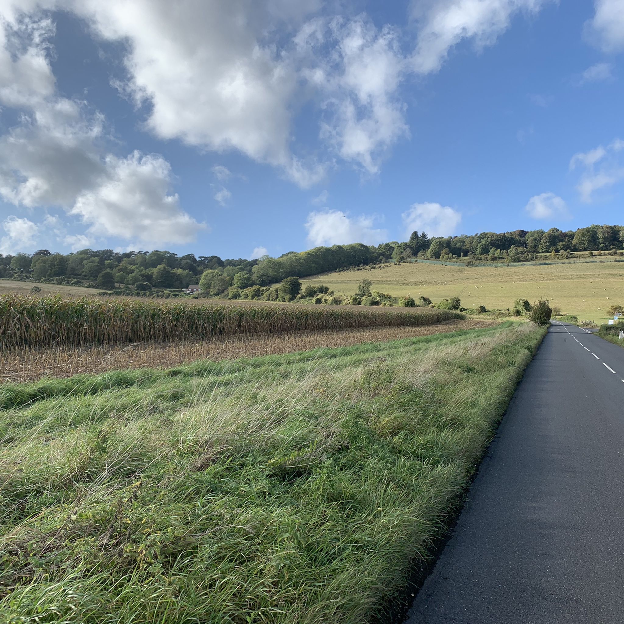
Shorehamに向かって北東に下る、本当に素晴らしいシングルトラックと砂利道の遊歩道です。最初は木々に囲まれていますが、後でずっと広い道が開けます。
0
0

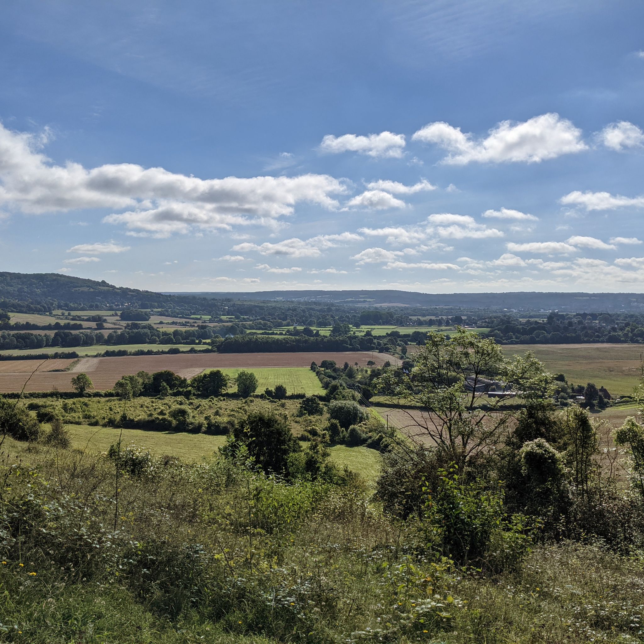
Stunning views of the valley, with Cheveley House.
0
0

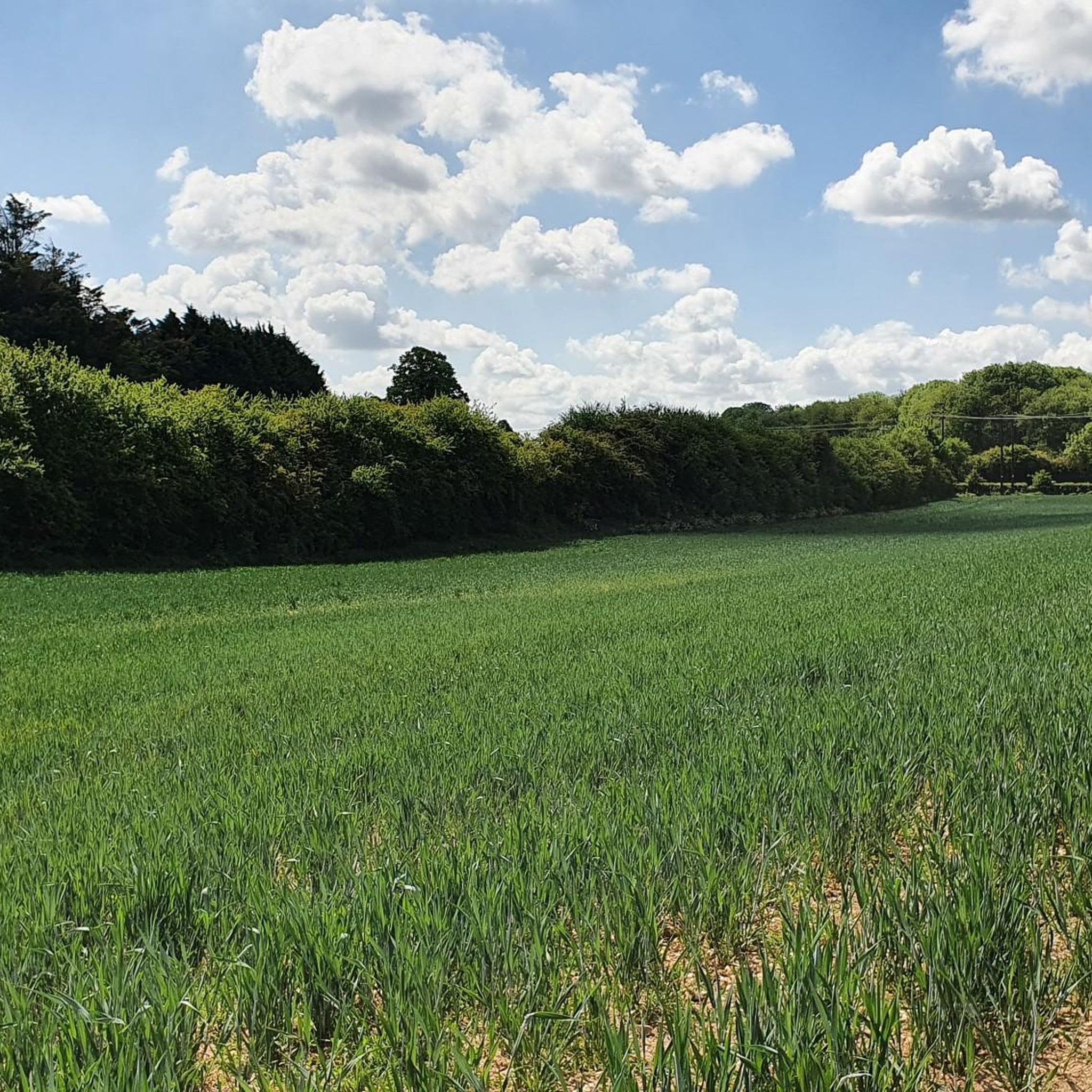
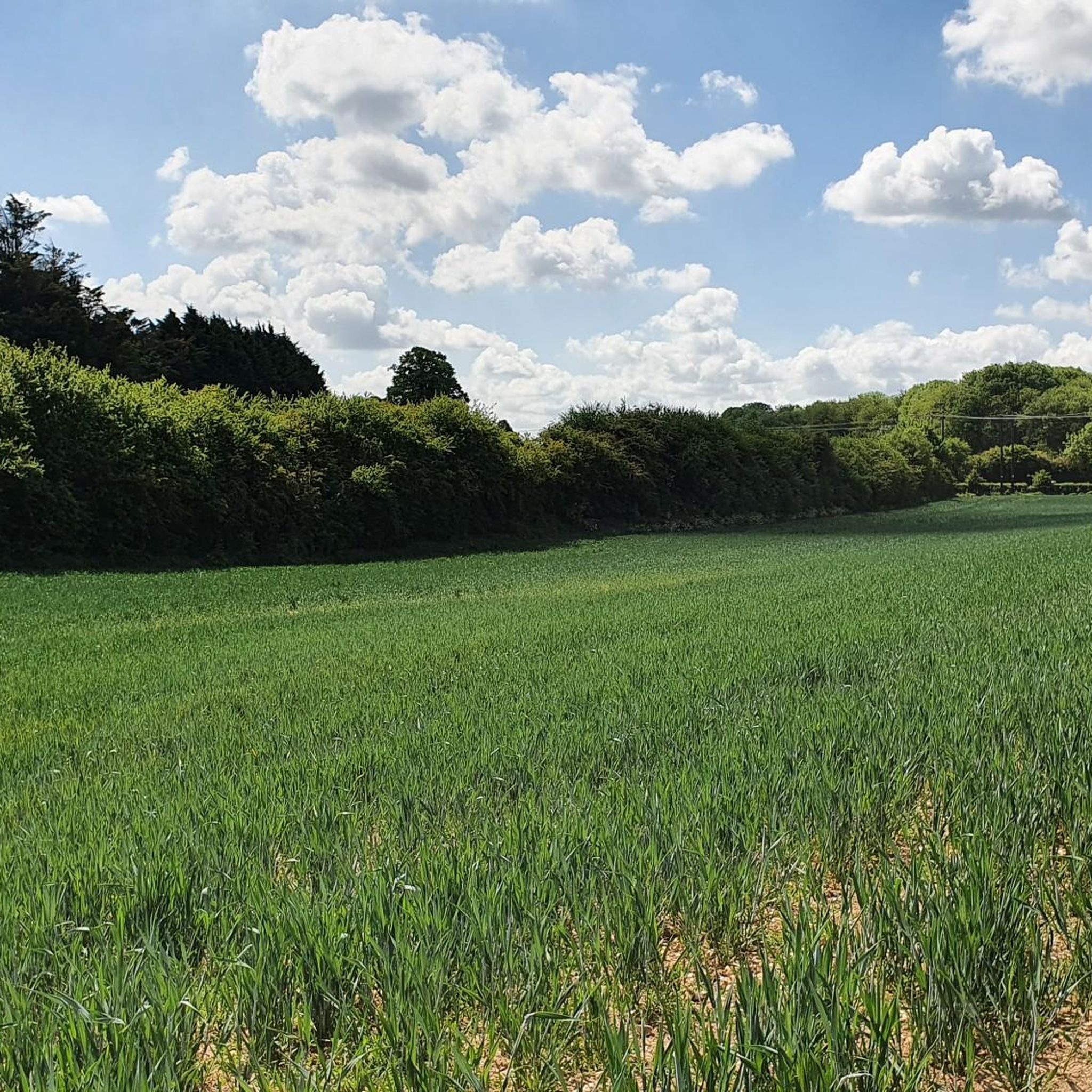
although not always growing corn, but often other crops.
0
0

Enjoy beautiful views over the village of Shoreham, framed by the picturesque Kent Downs in the distance. The area offers plenty of opportunities for scenic walks inviting you to explore the surrounding landscape.
1
0
From this point within the woodlands above Chevering House you get a wonderful view all the way down the valley into the sublime Kent Downs countryside. You can't see the house and grounds from here, but you can understand why they were built in this picture perfect spot.
1
0

A brilliantly placed bench, perfect for a rest as you take in the North Downs views. Lees Wood is behind you and Minny Wood below. The North Downs Way long distance trail passes here.
0
0

The "invention" of the prime meridian - or more precisely, the scientifically based division of the globe into longitude and latitude, with the prime meridian running through this point as the central orientation line - in the second half of the 19th century was an epochal masterpiece in the field of cartography and navigation, at that time of particular importance for seafaring. Even today, in the age of modern GPS navigation based on satellites orbiting the earth, coordinates based on this principle are still used to determine locations.
1
0

The Greenwich meridian is a prime meridian, a geographical reference line that passes through the Royal Observatory, Greenwich, London, England dividing the world into East and West. From 1884-1974 the GML was used worldwide for timekeeping and navigation. Since 1974, the Meridian, is based on the Greenwich meridian but differs slightly. - Anytime I encounter the GML I always find it fun to jump over it, cartwheel 🤸 if you can! Do it as a group! There’s always a couple of giggles, even if they’re solo giggles 🤭
1
0
ハルステッドでのの人気観光スポット

komootモバイルアプリでインスピレーションを得よう


さらに探索
他の地域の最高のランニングトレイル & ルートを見てみましょう。
