バートスモートンのおすすめランニングルート
4.3
(32)
3,451
ランナー
175
ランニング
ビルツモートン周辺のジョギングは、ウスターシャーの田園風景を巡る様々なランニングルートを提供します。この地域は、開けた野原、なだらかな丘、そして成熟した森林が混在し、ランナーに多様な地形を提供しています。マルバーン・ヒルズ国立景勝地に近いことから、山麓からパノラマビューが楽しめる挑戦的な登り坂まで、より変化に富んだルートの機会があります。この地域には、カッスルモートン・コモン(Castlemorton Common)のような共同地があり、森や池が含まれる一方、マルバーンズのより険しく起伏のある地形もあります。
ビルツモートン周辺の最高のジョギングルート
- 最も人気のあるジョギングルートは、所要時間約45分の5.6kmのトレイル、ビルツモートン・コモン・ループ(Birtsmorton Common Loop)です。このルートからは、コモン(共同地)と周囲の田園風景の眺めを楽しめます。
- 地元のランナーに人気のもう一つのルートは、中程度の難易度で8.0kmのパス、ウッドランド・エッジ・ラン(Woodland Edge Run)です。このルートは、古い森の中や野原の端を縫うように走り、様々な路面を提供します。
- 地元のランナーに愛されているのは、農地を抜け、史跡を巡る6.8kmのトレイル、ビルツモートン・エステート・ペリメーター(Birtsmorton Estate Perimeter)で、所要時間は約55分です。
- ビルツモートン周辺のジョギングは、開けた野原、なだらかな丘、そして森林の小道が特徴です。このネットワークは、簡単なジョギングルートからより挑戦的なランニングまで、様々なレベルの能力に対応するオプションを提供します。
- ビルツモートンのルートは、komootコミュニティから高く評価されており、20件以上のレビューから平均4.3つ星を獲得しています。3000人以上のランナーがkomootを利用して、ビルツモートンの多様な地形を探索しています。
最終更新日: 8月 29, 2026
92
ランナー
24.5km
03:01
700m
700m
難しいジョギング. 標準以上のフィットネスレベルが必要です。 全般的に舗装された状態です。あらゆるスキルレベルに適しています。
60
ランナー
9.16km
01:03
210m
210m
中程度のジョギング. ある程度のフィットネスレベルが必要です。 全般的に舗装された状態です。あらゆるスキルレベルに適しています。

無料新規登録
30
ランナー
17.0km
02:11
650m
650m
難しいジョギング. 標準以上のフィットネスレベルが必要です。 全般的に舗装された状態です。あらゆるスキルレベルに適しています。
14
ランナー
6.23km
00:39
40m
40m
中程度のジョギング. ある程度のフィットネスレベルが必要です。 全般的に舗装された状態です。あらゆるスキルレベルに適しています。
5.0
(1)
59
ランナー
8.17km
01:05
280m
280m
中程度のジョギング. ある程度のフィットネスレベルが必要です。 全般的に舗装された状態です。あらゆるスキルレベルに適しています。
さらに多くのルートや他のユーザーのおすすめ情報を確認できます。
無料新規登録
すでにアカウントをお持ちですか?
おすすめのツアーは他のkomootユーザーが実際に経験した何千ものアクティビティに基づいています。
無料アカウントで今日から始めよう
次の冒険が待っています。
ログインまたは登録
コミュニティからのヒント


One of the finest hills in the Malverns with it's Iron Age Hillfort (yes another one on the Malverns!), and superb views west across Eastnor Park. It used to be heavily wooded on the Eastern Side, but Ash Die-back disease has caused a huge number of large mature Ash trees to be felled in recent times. This is still a hill to be savoured and you will not see too many people here either.
0
0
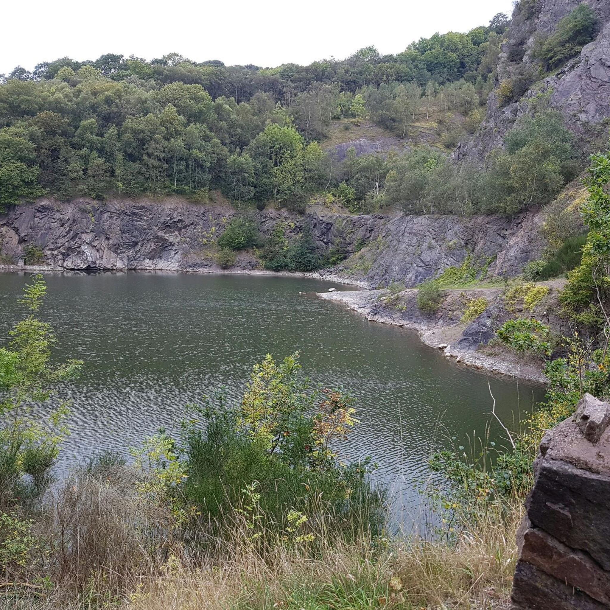
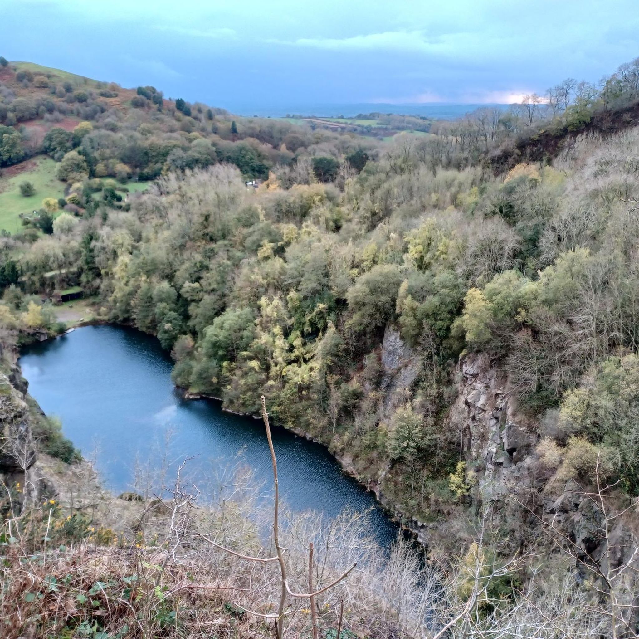
This is quite a spectacular place but quite rightly the Conservators and local authorities have securely fenced it off as there have been a large number of drownings here over the years. People have jumped off the low cliffs inot the freezing cold water and have also collided with old machinery and vehicles that are hidden under the water.
0
0
The other end of Hereford beacon, with good views of the Eastnor Estate with it's obelisk.
0
0
The southern end of the Malverns are steeper and more wooded, though Ash Dieback has done for many trees. Great views to the west over Eastnor towards the Black Mountains on the Welsh border.
0
0
There are some lovely places to stop and just look on and around the Malvern Hills, and this is one of them.
0
0

From Myseries of Mercia - a book and facebook page.... A mysterious cave on the Malvern hills and an enormous lump of stone in a nearby village...what connects them? This is Clutters Cave, an apparently man-made grotto within a volcanic basalt outcrop. Very little is known about it, not least who on earth "Clutter" was, but it's been mentioned in connection with various points in history going back to the medieval age. Folklore claims that Owain Glyndwr, the legendary Welsh hero, hid in Clutters Cave after his abortive attempt to invade England and retreat from North Worcestershire. He was never seen again so it's as good a story as any. I've also been told that a hermit once lived in the cave, dispensing blessings and wisdom to those who climbed up the hills to see him. Alfred Watkins, author of The Old Straight Track and father of the ley line concept, reckoned he had found a "door" to the cave a few yards away in a nearby gulley which was used as a "sacrificial stone" by "druids". He even got his assistant McKaig to lie on it as a "victim" to prove his point. Unfortunately for Watkins, we know that at least part of his theory was wide of the mark as his cave door is of a completely different type of rock. So what about the big rock? This lies at the centre of the village of Colwall and folklore gives us a reason for its presence. Another name for Clutters Cave is "Giant's Cave" and the story goes that this giant lived on the Malvern Hills with his human wife. One day he saw a man flirting with his good lady down in the valley where Colwall now lies. Erupting with rage as he watched the two of them giggling, he dug his hands into the rock and scooped out an enormous lump which he hurled at the pair down below, crushing them both. It was said that they lay under the rock for centuries until someone dragged it away to clear the obstruction, whereupon the giant put it back into place the next night! Strangely, there is a record of a payment made to a local man to drag the current stone into position to replace "the stone that once stood there". Some say that Clutters Cave is actually a Victorian folly, but nobody has any idea when it appeared. I find this unlikely as although Alfred Watkins did misidentify a few sites he surely would have been aware of something being just a few decades old. I've also seen a reference to it in a novel from 1883 and in the journal of the Royal Anthropological Institute from 1881, neither of which dismiss it as a folly.
0
0
バートスモートンでのの人気観光スポット

komootモバイルアプリでインスピレーションを得よう


さらに探索
他の地域の最高のランニングトレイル & ルートを見てみましょう。
