ブランズフォードのおすすめウォーキング&ハイキングルート
4.5
(1121)
10,983
ハイカー
394
ハイキング
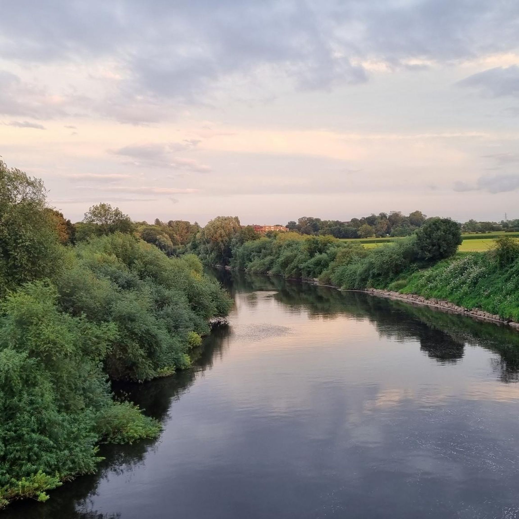
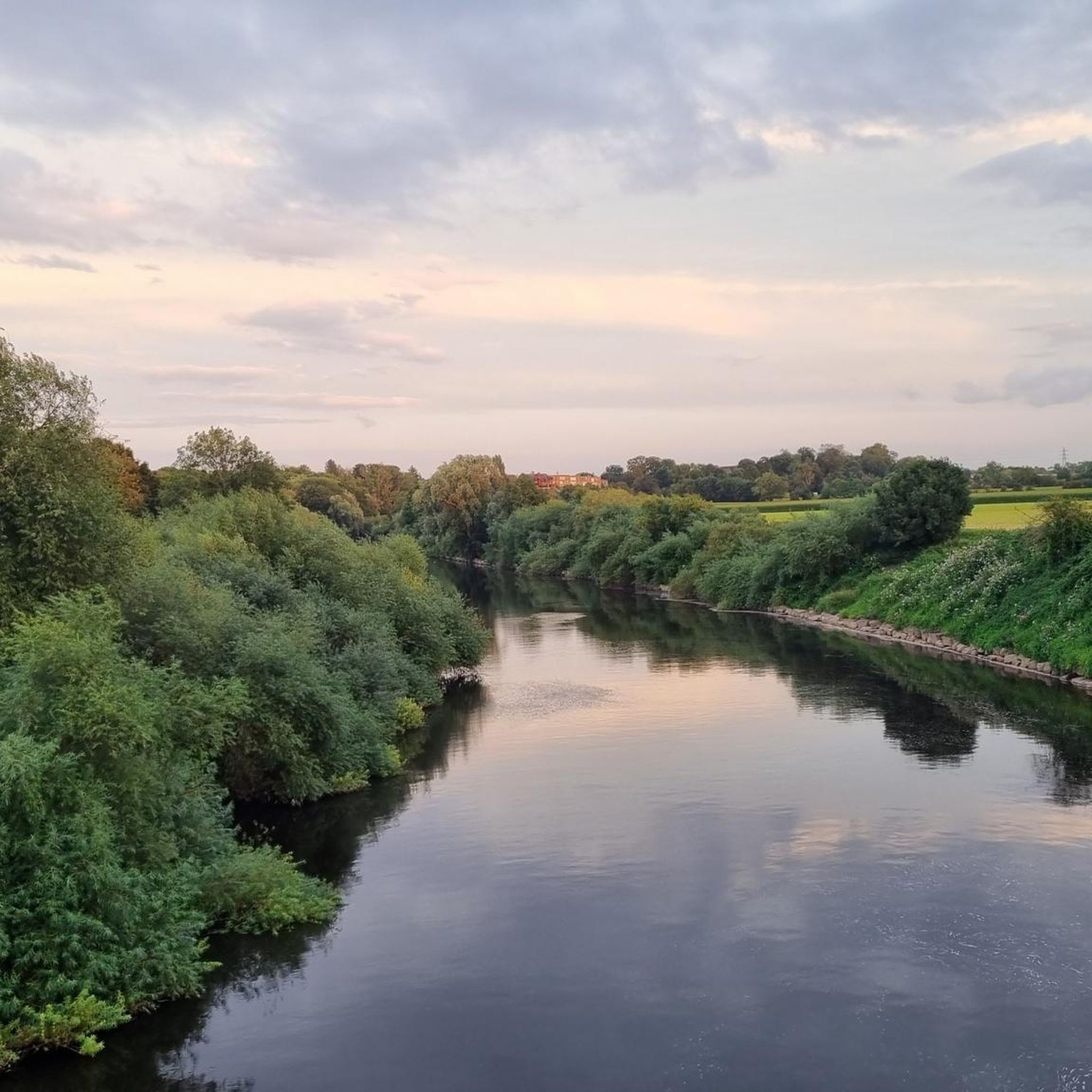
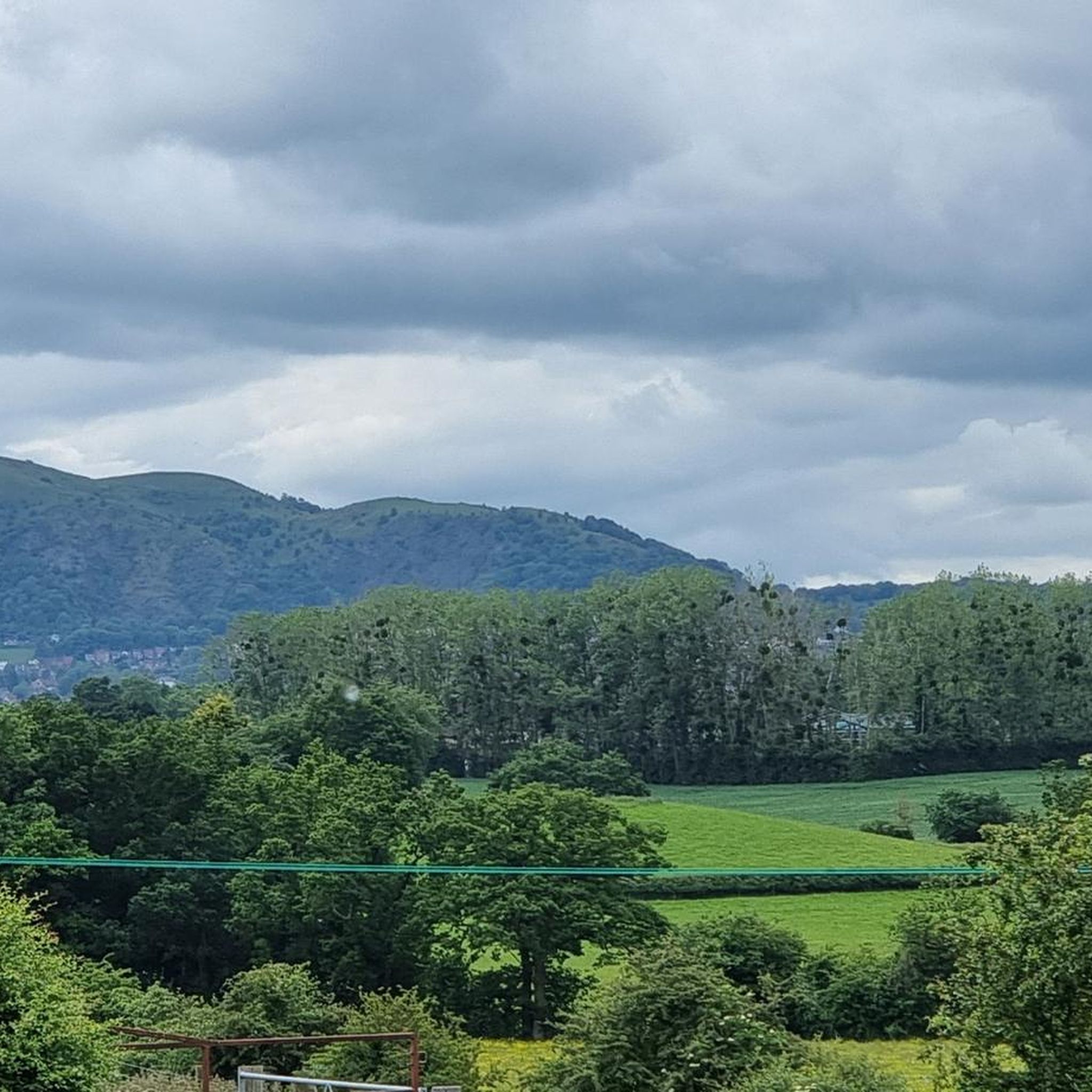
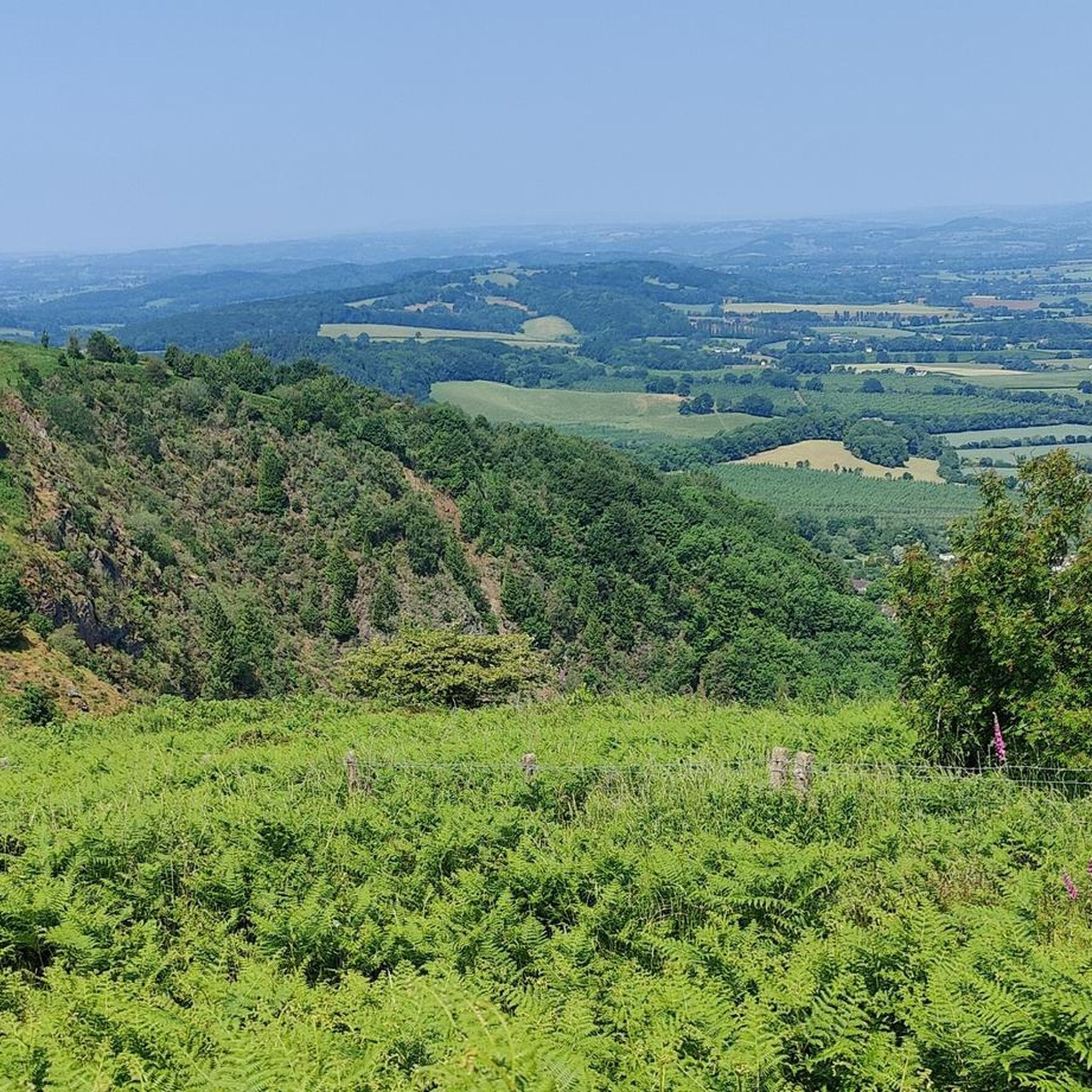
ブランズフォード周辺のハイキングコースは、多様な地形を提供するウスターシャーの田園地帯を巡ります。この地域は、景観保護区である起伏の多いマルバーン・ヒルズと、テムズ川およびセヴァーン川の平坦な岸辺が特徴です。この景観は、穏やかな周回ウォーキングと、より要求の厳しいヒルハイキングの両方のオプションを提供します。
ブランズフォード周辺のベストハイキングコース
- 最も人気のあるハイキングコースは、マルバーン・リンク発のシュガーローフ・ヒル – ウスター・ビーコン・トリグ・ポイント・ループで、距離15.8マイル(25.5 km)、所要時間約7時間48分です。マルバーン・ヒルズでの大幅な標高差を伴う、挑戦的なハイキングです。
- 地元のハイカーに人気のもう一つのコースは、マルバーン発のウスターシャー・ビーコン – ウスター・ビーコン・トリグ・ポイント・ループで、距離5.7マイル(9.2 km)の中程度の難易度のパスです。このルートからはマルバーン・ヒルズの景色を眺めることができます。
- 地元のハイカーに愛されているのは、ウスター発のウスター大聖堂 – ウスターのセヴァーン川ループで、距離6.0マイル(9.7 km)のセヴァーン川沿いのトレイルで、所要時間は約2時間27分です。
- ブランズフォード周辺のハイキングは、起伏の多いマルバーン・ヒルズ、静かな川沿いの小道、そして森林のトレイルが特徴です。遊歩道のネットワークは、家族向けの簡単なウォーキングから、きついヒルクライムまで、さまざまなレベルの能力に対応するオプションを提供します。
- ブランズフォードのルートは、komootコミュニティから高く評価されており、840件以上のレビューで平均4.6つ星を獲得しています。9,000人以上のハイカーがkomootを利用して、ブランズフォードの多様な地形を探索しています。
最終更新日: 10月 9, 2026
4.7
(30)
503
ハイカー
8.89km
02:44
320m
320m
中程度のハイキング. ある程度のフィットネスレベルが必要です。 進みやすいルートです。あらゆるスキルレベルに適しています。
4.5
(12)
52
ハイカー
25.5km
07:48
850m
850m
難しいハイキング. 標準以上のフィットネスレベルが必要です。 進みやすいルートです。あらゆるスキルレベルに適しています。

4.9
(16)
430
ハイカー
6.00km
01:33
30m
30m
初級者向けハイキング. あらゆるフィットネスレベルに適しています。 進みやすいルートです。あらゆるスキルレベルに適しています。
4.7
(6)
30
ハイカー
5.48km
01:23
10m
10m
初級者向けハイキング. あらゆるフィットネスレベルに適しています。 進みやすいルートです。あらゆるスキルレベルに適しています。
5.0
(4)
9
ハイカー
9.61km
02:28
40m
40m
中程度のハイキング. ある程度のフィットネスレベルが必要です。 進みやすいルートです。あらゆるスキルレベルに適しています。
さらに多くのルートや他のユーザーのおすすめ情報を確認できます。
すでにアカウントをお持ちですか?
おすすめのツアーは他のkomootユーザーが実際に経験した何千ものアクティビティに基づいています。
無料アカウントで今日から始めよう
次の冒険が待っています。

コミュニティからのヒント

2026年5月まで、すべての交通に閉鎖されたままです。すでに2年が経過しました。迂回路では、本道まで歩き、新しい橋まで戻って歩く必要があります(小道があります)。
0
0

マルバーンズで最も高いピークですが、最も混雑しています!人々は三角測量点を「占拠」しており、写真を撮ることさえしていません。できる限り良い写真を撮り、その後昼食に行きました。
0
0

This rocky tor is only a few yards from the summit Toposcope and Trig point, yet they get overlooked as a scenic viewpoint.
0
0
Pinnacle Hill isn't really much of a pinnacle, but it is the highest point between the Wyche and Wynds Point, and as such is a fine viewpoint in both directions.
0
0
There are quite a number of these direction arrow stones on the Malverns, they look good and they are very informative.
0
0
The other end of Hereford beacon, with good views of the Eastnor Estate with it's obelisk.
0
0
ブランズフォードでのの人気観光スポット

komootモバイルアプリでインスピレーションを得よう


さらに探索
他の地域の最高のハイキングを見てみましょう。
