ウッドコートのおすすめウォーキング&ハイキングルート
4.6
(1762)
11,290
ハイカー
21
ハイキング
ウッドコート 周辺でおすすめのハイキングやウォーキングを楽しんでいただけるように、このエリアの小径やルートを集めたkomootコレクション全体を見直しました。 以下で各ルートの詳細をご覧になり、ウッドコート周辺の大自然を満喫する際の参考にしてください。
最終更新日: 10月 10, 2026
4.9
(10)
24
ハイカー
11.2km
02:58
110m
110m
中程度のハイキング. ある程度のフィットネスレベルが必要です。 進みやすいルートです。あらゆるスキルレベルに適しています。
4.8
(6)
37
ハイカー
11.1km
02:59
140m
140m
中程度のハイキング. ある程度のフィットネスレベルが必要です。 進みやすいルートです。あらゆるスキルレベルに適しています。

5.0
(5)
15
ハイカー
6.42km
01:43
80m
80m
初級者向けハイキング. あらゆるフィットネスレベルに適しています。 進みやすいルートです。あらゆるスキルレベルに適しています。
4.9
(39)
16
ハイカー
4.55km
01:13
50m
50m
初級者向けハイキング. あらゆるフィットネスレベルに適しています。 進みやすいルートです。あらゆるスキルレベルに適しています。
4.7
(3)
15
ハイカー
6.15km
01:40
80m
80m
初級者向けハイキング. あらゆるフィットネスレベルに適しています。 進みやすいルートです。あらゆるスキルレベルに適しています。
さらに多くのルートや他のユーザーのおすすめ情報を確認できます。
すでにアカウントをお持ちですか?
おすすめのツアーは他のkomootユーザーが実際に経験した何千ものアクティビティに基づいています。
無料アカウントで今日から始めよう
次の冒険が待っています。
コミュニティからのヒント


This is a beautiful and striking church, set in beautiful grounds. It is unsurprising that it's Grade I listed. The church dates back to the Norman times. The semicircular apse has early 13th century wall paintings. The nave inside the church is aisleless, giving a very impressive view of the choir and the sanctuary.
1
0
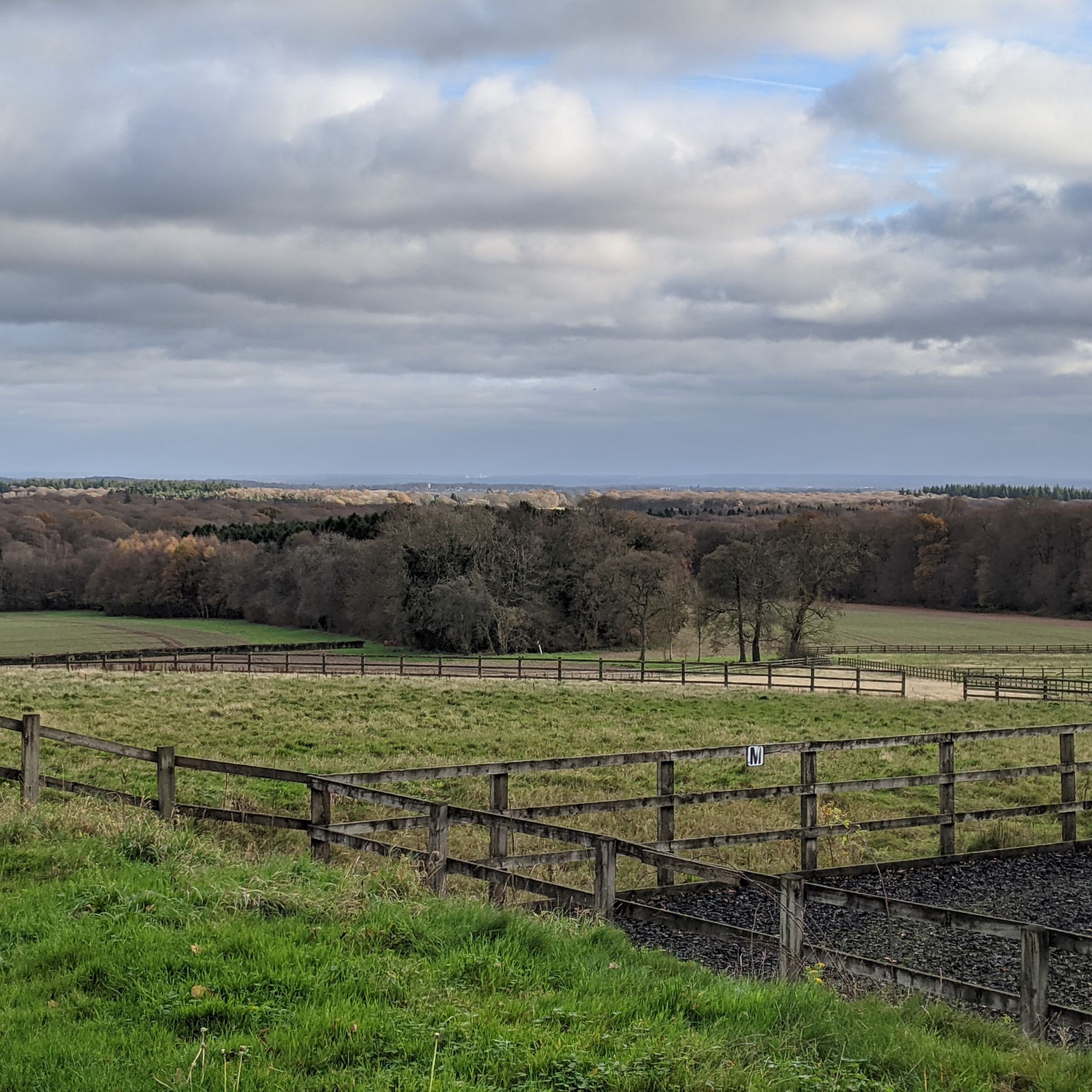
Some describe the view from this hill (at 182m) as the best view in Woodcote. It sure is lovely - to the south-east, over the paddocks and then College Wood, you can see the distant landscape miles away from here. Worth stopping to enjoy.
1
0
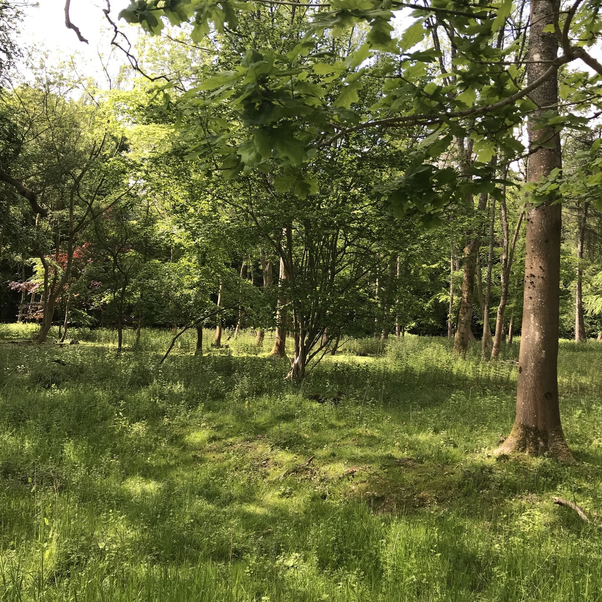
Welcome to the beautiful College Wood: tall beech trees, wide tracks (delightfully leafy underfoot in the autumn) - and no motorbikes are allowed here as a few horse stiles have been installed. So if you want to not only "walk in beauty" as Sir Tennyson did, but also wish for silence and serenity, you have now found the place.
1
0

Goring-on-Thames is a large, unspoilt village in the Chiltern Hills Area of Outstanding Natural Beauty. It is on the Thames' eastern side, with the village of Streatley occupying the other. They are linked by the Goring and Streatley Bridge. The Ridgeway National Trail passes through the village, whilst the Swan's Way ends here on its journey from Salcey Forest in Northamptonshire.
0
0
Goring-on-Thames is a large, unspoilt village in the Chiltern Hills Area of Outstanding Natural Beauty. It is on the Thames' eastern side, with the village of Streatley occupying the other. They are linked by the Goring and Streatley Bridge. There is fantastic walking on the Goring Gap outcrop, with some lovely, colourful woodland trails. The Ridgeway National Trail passes through the village, whilst the Swan's Way ends here on its journey from Salcey Forest in Northamptonshire.
1
0

Nice woodland with bridleway/footpaths running through. Excellent spot for Bluebells in the spring. Scenic climb/descent from/to Battle Road to the south, reached from Beechlane track to the north.
0
0

The 12th Century Church of St Peter and St Paul is a Grade One listed building containing fine examples of Romanesque architecture. St Birinus first brought Christianity to these Chiltern Hills of South Oxfordshire in the 7th century, converting the chieftain, Caeca, of the local settlement, or ‘Den’ – hence the name Checkendon. It may be that the very first church was a small wattle and daub structure built on the site of a local pagan shrine. In the 12th century, influenced by the monks of Bec, the present nave, chancel and semicircular apse were erected with a wooden tower over the chancel. Cit. from and more info at: https://langtreechurches.org/locations/st-peter-st-paul-church-checkendon/
2
0
ウッドコートでのの人気観光スポット

komootモバイルアプリでインスピレーションを得よう


さらに探索
他の地域の最高のハイキングを見てみましょう。
