ウッドウォルトン(ハンツ)のおすすめウォーキング&ハイキングルート
4.4
(206)
1,155
ハイカー
86
ハイキング
ウッドウォルトン(ハンツ) 周辺でおすすめのハイキングやウォーキングを楽しんでいただけるように、このエリアの小径やルートを集めたkomootコレクション全体を見直しました。 以下で各ルートの詳細をご覧になり、ウッドウォルトン(ハンツ)周辺の大自然を満喫する際の参考にしてください。
最終更新日: 10月 26, 2026
4.4
(7)
14
ハイカー
5.96km
01:32
30m
30m
初級者向けハイキング. 歩きやすい道です。

4.3
(4)
16
ハイカー
8.41km
02:08
30m
30m
中程度のハイキング. ある程度のフィットネスレベルが必要です。 歩きやすい道です。
4.8
(4)
22
ハイカー
3.90km
00:59
10m
10m
初級者向けハイキング. 歩きやすい道です。
4.7
(3)
17
ハイカー
6.66km
01:45
60m
60m
初級者向けハイキング. 歩きやすい道です。
さらに多くのルートや他のユーザーのおすすめ情報を確認できます。
すでにアカウントをお持ちですか?
おすすめのツアーは他のkomootユーザーが実際に経験した何千ものアクティビティに基づいています。
無料アカウントで今日から始めよう
次の冒険が待っています。
コミュニティからのヒント

Be careful when starting route 2 as the start can be easily missed going through the gate.
0
0

They may look like out of place lampposts but Holme Posts are part of history. The posts were buried in 1848 to measure how much the land sunk after Whittlesey Mere, once on this site, was drained. The peat lake floor had been soaked in water but after drainage, the peat shrank, as did the height of the land. The top of the posts, once level with the ground, are now around 4m above it. The posts are generally accepted to mark the lowest land point in Great Britain at 2.75m below sea level.
0
0
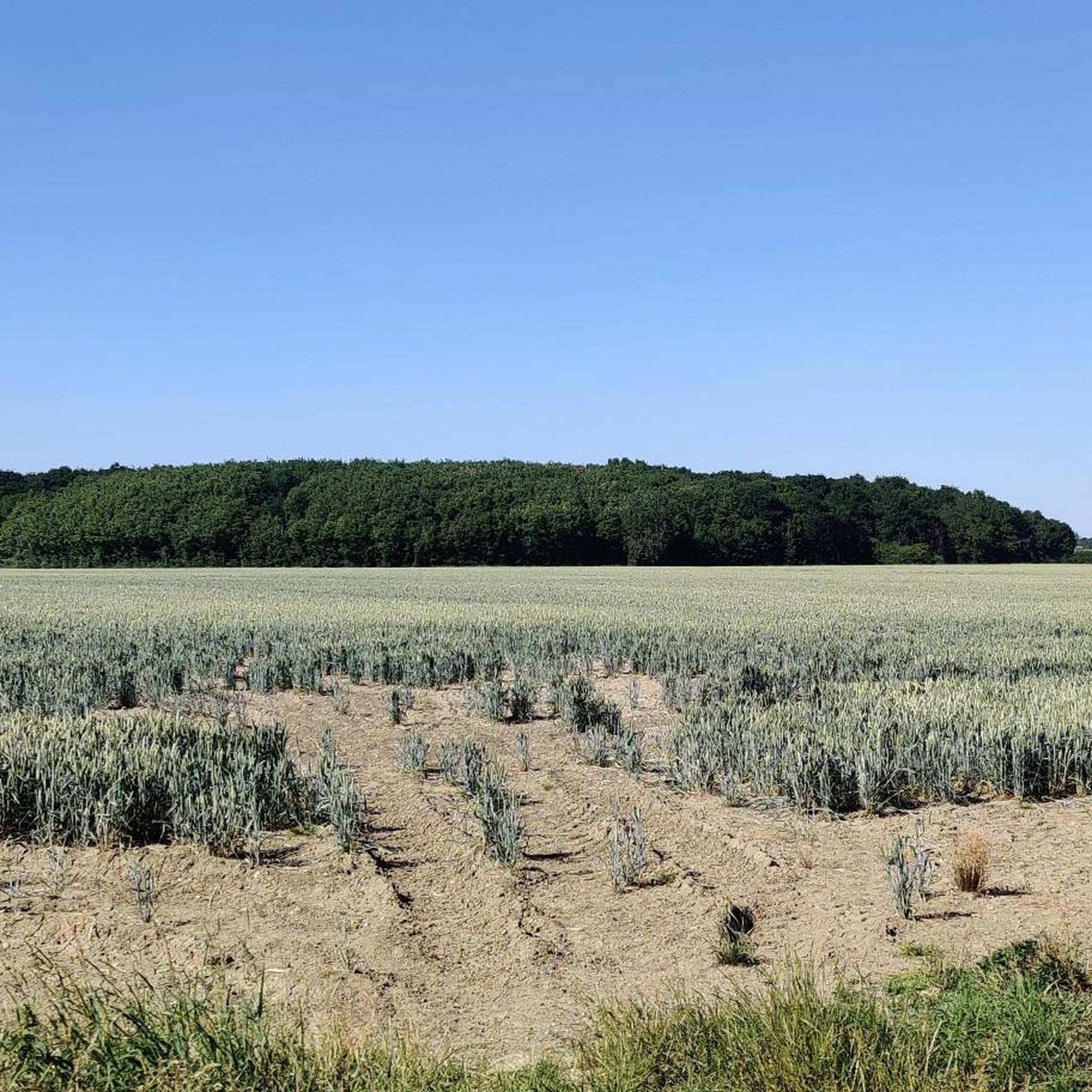
Holme Fen is a Site of Special Scientific Interest (SSSI) as well as a National Nature Reserve (NNR). It is in the location of Whittlesey Mere, once the biggest lake in England, which was drained in the mid 19th century so the land could be used for farming. This south western shore of the huge lake could not be made dry enough for farming.
0
0
They may look like strange green lampposts but Holme Posts are part of history. The posts were buried in 1848 to measure how much the land sunk after Whittlesey Mere, once on this site, was drained. The peat lake floor had been soaked in water but after drainage, the peat shrank, as did the height of the land. The top of the posts, once level with the ground, are now around 4m above it. The posts are generally accepted to mark the lowest land point in Great Britain at 2.75m below sea level.
0
0
Burnhams Mere was created when the area was cut for peat, resulting in this wildlife haven.
0
0
Holme Fen is a Site of Special Scientific Interest (SSSI) as well as a National Nature Reserve (NNR). It is in the location of Whittlesey Mere, once the biggest lake in England, which was drained in the mid 19th century so the land could be used for farming. This south western shore of the huge lake could not be made dry enough for farming.
0
0

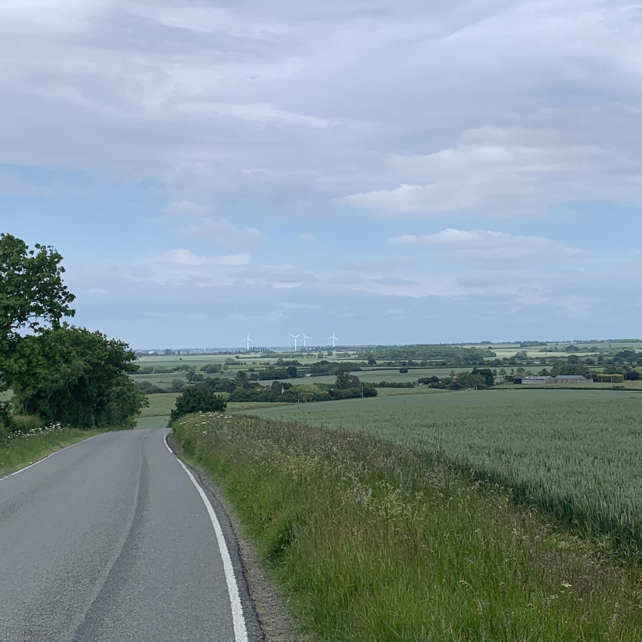
Quiet, narrow lane leading through Holme Fen nature reserve, the lowest point in the UK.
0
0
Congratulations, you are at the lowest point in the UK, 3m below sea level. The top of the iron posts marks ground level when the fen was first drained in 1850. Since then they have been progressively exposed by the shrinking peat until the tops now stand 4m above modern ground level.
0
0
ウッドウォルトン(ハンツ)でのの人気観光スポット

komootモバイルアプリでインスピレーションを得よう


さらに探索
他の地域の最高のハイキングを見てみましょう。
