ピクトンのおすすめツーリングルート
4.5
(576)
4,917
ライダー
346
ライド
ピクトンでおすすめのサイクリングルートをお探しですか?行きたいルートを簡単に決められるように、このページではピクトン周辺の人気バイクライドをご紹介します。 ぜひ、お気に入りのルートを見つけてください。
最終更新日: 10月 7, 2026
5.0
(5)
33
ライダー
36.6km
02:06
120m
120m
中程度の自転車ライド. ある程度のフィットネスレベルが必要です。 全般的に舗装された状態です。あらゆるスキルレベルに適しています。
5.0
(1)
15
ライダー
10.5km
00:38
50m
50m
初級者向けバイクライド. あらゆるフィットネスレベルに適しています。 全般的に舗装された状態です。あらゆるスキルレベルに適しています。

9
ライダー
11.3km
00:39
50m
50m
初級者向けバイクライド. あらゆるフィットネスレベルに適しています。 全般的に舗装された状態です。あらゆるスキルレベルに適しています。
4.0
(1)
11
ライダー
17.2km
01:01
90m
90m
初級者向けバイクライド. あらゆるフィットネスレベルに適しています。 全般的に舗装された状態です。あらゆるスキルレベルに適しています。
5.0
(2)
9
ライダー
初級者向けバイクライド. あらゆるフィットネスレベルに適しています。 全般的に舗装された状態です。あらゆるスキルレベルに適しています。
さらに多くのルートや他のユーザーのおすすめ情報を確認できます。
すでにアカウントをお持ちですか?
おすすめのツアーは他のkomootユーザーが実際に経験した何千ものアクティビティに基づいています。
無料アカウントで今日から始めよう
次の冒険が待っています。

コミュニティからのヒント

かつてチェスターのスーパーハイウェイだった、4分の1マイルの行き止まり。 チェスター・ベイスンの本線から3つの水門と古い川の水門を下り、潮汐のあるディー川へと続きます。1779年にチェスターとミッドランズを結ぶために建設され、ビーストンで崩壊し、エルズミア・ポートによって救われましたが、ショットンの製鉄所が停止した際に役目を終えました。 現在は南京錠がかけられ、草木が生い茂り、完璧な状態です。もしボートで第2水門を通過できれば、「シルバー・プロペラ」の自慢の権利が得られます。徒歩なら、運河が本来の姿を離れ、川と合流しようとする静かな水路です。
0
0
1322年から1325年にかけて、ディー川の中に直接建てられたチェスターの港湾防衛施設です。建築家のジョン・ヘルプストンは100ポンドを請求しましたが、これは当時としては大金でした。その後、ディー川が堆積物で埋まり、港は廃れ、塔は200ヤードも内陸に取り残されて、少し困惑したような姿で立っています。 その下にはタワー・ガーデンズがあり、かつて船が停泊していた場所には芝生、ボウリンググリーン、遊び場があります。競馬場に向かう前の、城壁散策のピクニック休憩に最適です。
0
0

good pathetic to ride or walk ! beware its closed on Race days 🐴
0
0

The Wales Coast Path and National Cycle Network mostly share the same route across Denbighshire and Conwy, linking the major north Wales resorts of Prestatyn, Rhyl, Colwyn Bay and Llandudno and the walled castle town of Conwy. However, please note that the WCP and NCN follow different routes in a few places and, where this occurs, cyclists should follow the NCN rather than WCP logos. This is a very popular route with extensive views out to sea, along the coast, and inland to the Clwydian Hills, the Vale of Clwyd and the northern slopes of Snowdonia National Park.
5
0

Entrance fee is £5 per person. Allow yourself some time, as the cathedral is very large and complex. Its cloister and courtyard are very beautiful. Inside the church, there was a replica made of Lego bricks, illuminated, and even a detailed interior.
0
0

Originally called the New Tower, the Water Tower stands at the end of a crenellated retaining wall in an area now known as Tower Gardens. The spur wall connects the Water Tower to Bonewaldesthorne Tower, located at the northwest angle of the main walls. The lower area where the Water Tower stands was once covered by the River Dee before the river silted up and receded. The Water Tower was built in 1322 by the mason John de Helpeston for the sum of 100 pounds and remains largely unchanged today. The Water Tower's purpose was to guard Chester's port. Now that the river has receded, the "Tower Gardens" area is a pleasant place to relax in fine weather. There is a children's playground and a bowling alley at the Water Tower. Source: http://www.discoverchester.co.uk/
0
0

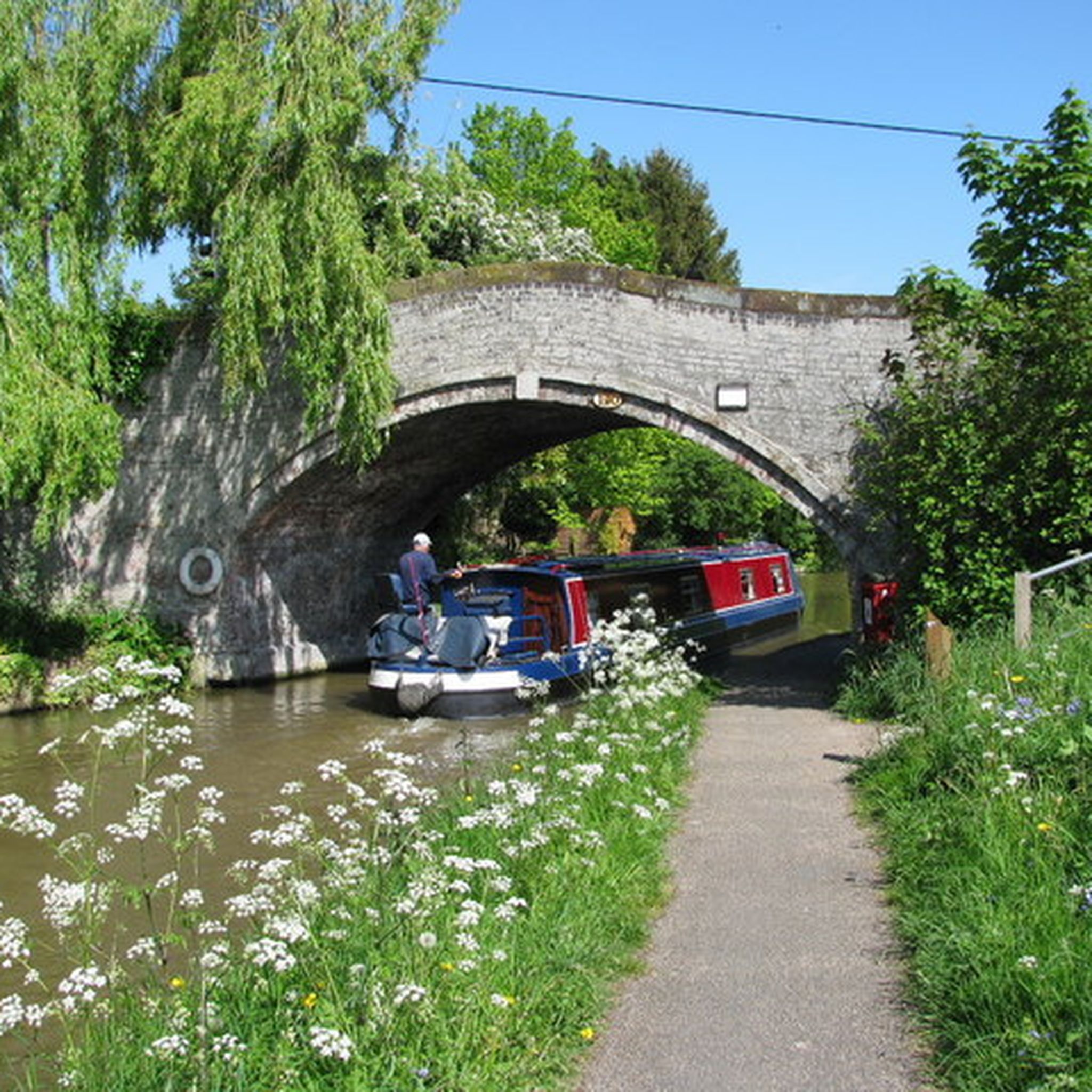
There are many choices to be made here . It's a pleasant spot to drop onto the Shropshire Union Canal Towpath to go to either Chester or Ellesmere Port Basin & the National Waterways Museum. Or continue up the hill to Chester Zoo . In the opposite direction is either Chorlton up the badly resurfaced Chorlton Lane on the left (from the bridge) or straight on (again in the opposite direction to the Zoo) to Crowton & Stoak. Stoak has the Bunbury Arms at its heart, well worth stopping for a bite to eat😋👍
0
0

The Wales Coast Path is a designated long-distance trail which follows, or runs close to, the coastline of Wales. It is 870 miles or 1,400 km long and was launched in 2012. The path is the first dedicated coast path in the world to cover the entire length of a country's coastline. The official start and finish points are on the border with the English city of Chester in the north and in Chepstow in the south. The already established Anglesey coastal path, Ceredigion coast path and the Pembrokeshire Coast Path National Trail all form part of the Wales Coast Path. Wikipedia
0
0
ピクトンでのの人気観光スポット

komootモバイルアプリでインスピレーションを得よう


さらに探索
他の地域の最高のサイクリングルートを見てみましょう。
