ヴェーゲレーベンのおすすめライド
4.3
(326)
2,766
ライダー
158
ライド
ヴェーゲレーベン周辺でのロードバイクライドをお考えですか?komootはヴェーゲレーベン周辺のあらゆるロードバイクライドを評価し、人気ルートを厳選しました。ヴェーゲレーベン周辺の各ロードバイクルートの詳細をご覧になり、自分に合ったルートを見つけてください。
最終更新日: 10月 13, 2026
3.8
(20)
44
ライダー
46.9km
01:55
150m
150m
中程度のロードライド. あらゆるフィットネスレベルに適しています。 ツアーの一部に、未舗装のため走行が難しい箇所があるかもしれません。
3.6
(8)
30
ライダー
22.7km
01:14
170m
170m
中程度のロードライド. あらゆるフィットネスレベルに適しています。 ツアーの一部に、未舗装のため走行が難しい箇所があるかもしれません。

5.0
(1)
26
ライダー
73.9km
03:21
480m
480m
中程度のロードライド. ある程度のフィットネスレベルが必要です。 ツアーの一部に、未舗装のため走行が難しい箇所があるかもしれません。
4.0
(1)
20
ライダー
62.5km
02:46
230m
230m
中程度のロードライド. ある程度のフィットネスレベルが必要です。 ツアーの一部に、未舗装のため走行が難しい箇所があるかもしれません。
8
ライダー
46.4km
01:53
160m
160m
中程度のロードライド. あらゆるフィットネスレベルに適しています。 ツアーの一部に、未舗装のため走行が難しい箇所があるかもしれません。
さらに多くのルートや他のユーザーのおすすめ情報を確認できます。
すでにアカウントをお持ちですか?
おすすめのツアーは他のkomootユーザーが実際に経験した何千ものアクティビティに基づいています。
無料アカウントで今日から始めよう
次の冒険が待っています。
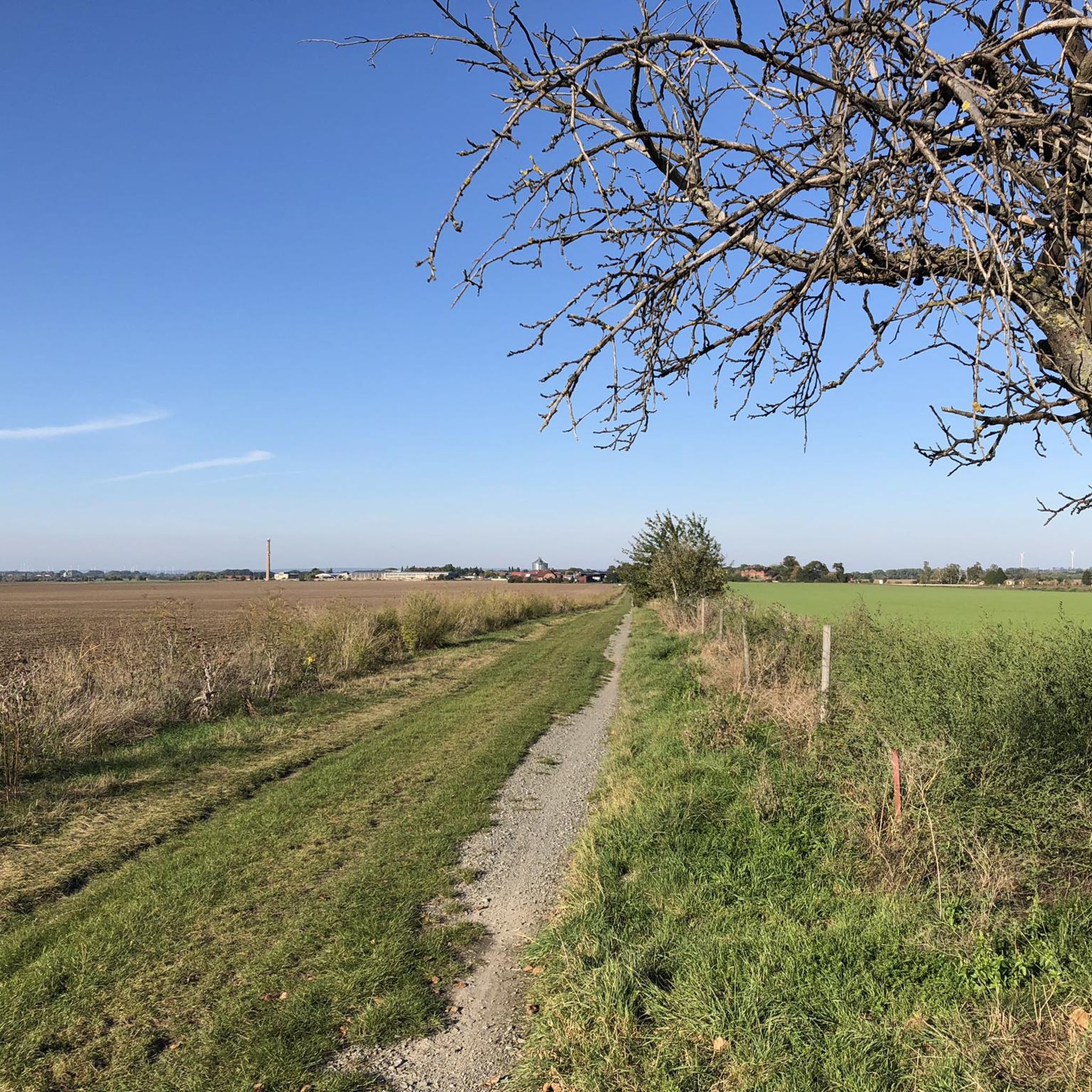
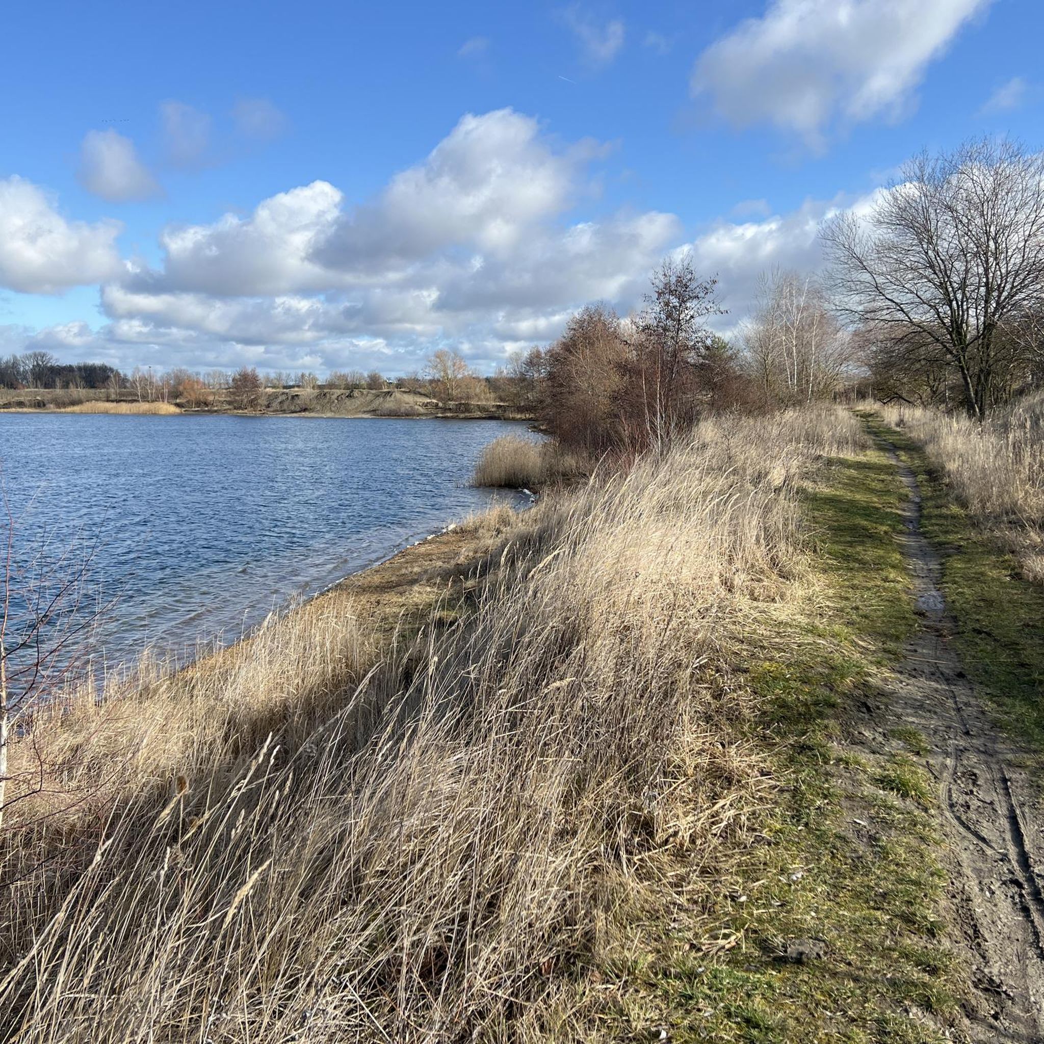
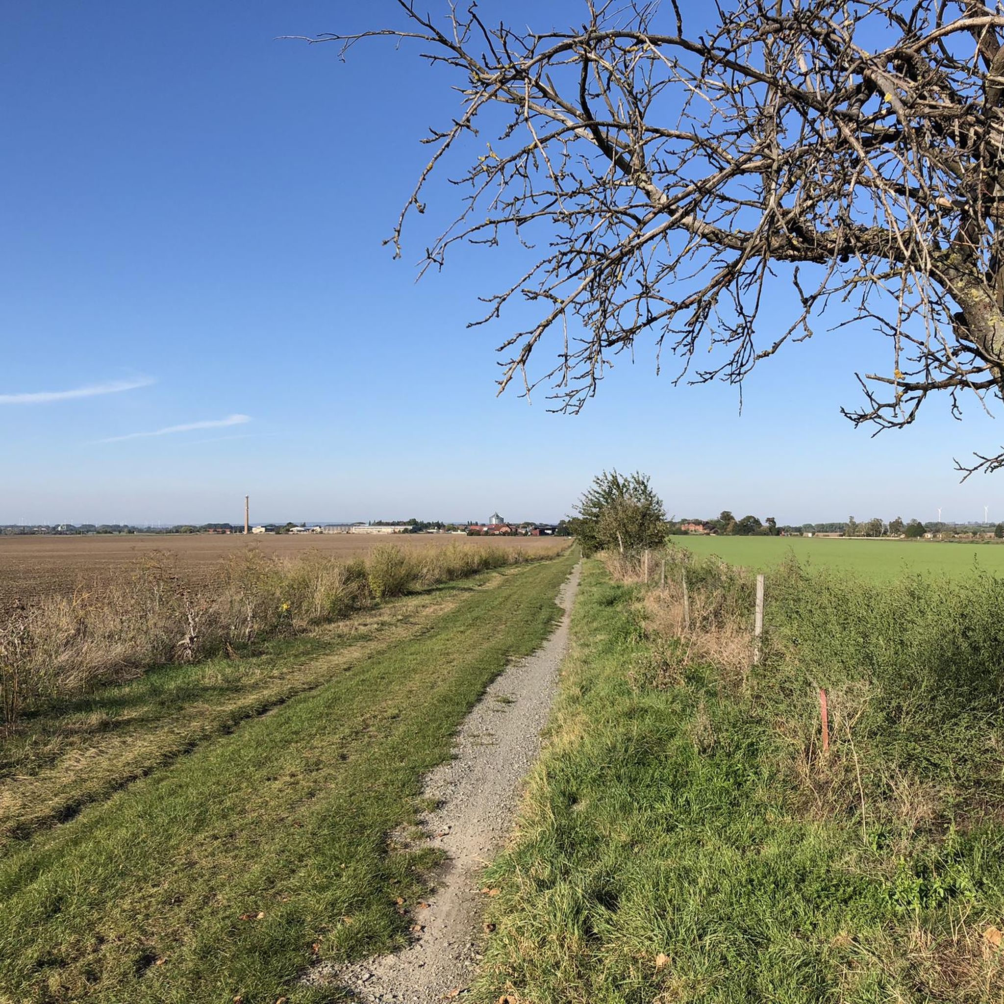
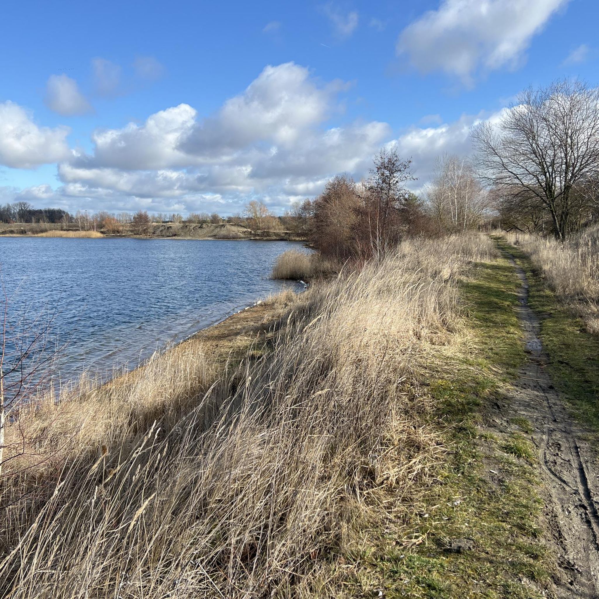
コミュニティからのヒント


偶然、2026年のペンテコステのキングスデーにQLBにいました。最高の天気で、街はお祝いの人々でいっぱいでした。城はおそらく修復のため開いていませんでした。だから、写真は残るだけでした。:-D
1
0

There used to be a pub around the corner, as a child I always picked up my grandpa there during the GDR times 😅
0
0

Beautiful rest area with barefoot course and view of Halberstadt.
1
0

View towards Halberstadt with Brocken in the background
0
0

Bishop Burchard I of Halberstadt gave the monastery its name: he consecrated the chapel of St. Nicholas in 1036. After the cathedral burned down in 1060, he was buried in this chapel, which became part of the monastery complex much later. In 1186, the Premonstratensians moved there. They were soon replaced by Templars, who founded a commandery here. In 1206, the Templars moved to the monastery of St. Thomae at the Breiten Tor, whereupon the Cistercians took over the monastery in 1208. Due to overcrowding, several nuns went to the Adersleben monastery in the middle of the 13th century. During the Thirty Years' War, the monastery was plundered in 1631 and 1632, and in one case the abbess and nuns were abducted by the Swedes. There were also three floods in the 18th century. In the following years, flooding of the buildings and farmstead, as well as the monastery church, from the Holtemme river caused considerable disruption in some cases. There were also several fire disasters. In the course of secularization, the monastery was closed and sold on October 1, 1810 by decision of the authorities of the Kingdom of Westphalia. Source: Wikipedia
9
0
Bishop Burchard I of Halberstadt gave the monastery its name: he consecrated the chapel of St. Nicholas in 1036. After the cathedral burned down in 1060, he was buried in this chapel, which became part of the monastery complex much later. In 1186, the Premonstratensians moved there. They were soon replaced by Templars, who founded a commandery here. In 1206, the Templars moved to the monastery of St. Thomae at the Breiten Tor, whereupon the Cistercians took over the monastery in 1208. Due to overcrowding, several nuns went to the Adersleben monastery in the middle of the 13th century. During the Thirty Years' War, the monastery was plundered in 1631 and 1632, and in one case the abbess and nuns were abducted by the Swedes. There were also three floods in the 18th century. In the following years, flooding of the buildings and farmstead, as well as the monastery church, from the Holtemme river caused considerable disruption in some cases. There were also several fire disasters. In the course of secularization, the monastery was closed and sold on October 1, 1810 by decision of the authorities of the Kingdom of Westphalia. Source: Wikipedia
7
0
ヴェーゲレーベンでのの人気観光スポット

komootモバイルアプリでインスピレーションを得よう


さらに探索
他の地域の最高のロードサイクリングルートを見てみましょう。
