ブラッケンフィールドのおすすめランニングルート
4.5
(79)
9,681
ランナー
589
ランニング
ブラッケンフィールドでランニングを楽しめば、このエリアをより深く知ることができます。ランニングに適した美しいルートが見つかるように、komootがブラッケンフィールドでのルートのコレクション全体を評価して選び抜いた、人気ランニングトレイルをご紹介します。ルートをクリックして詳細を表示し、他のユーザーがアップロードした役立つ情報や写真を閲覧しましょう。
最終更新日: 10月 29, 2026
15
ランナー
中程度のジョギング. ある程度のフィットネスレベルが必要です。 ほとんどが舗装路です。
18
ランナー
12.4km
01:17
100m
100m
中程度のジョギング. ある程度のフィットネスレベルが必要です。 ほとんどが舗装路です。

4.0
(2)
13
ランナー
9.02km
00:58
150m
150m
中程度のジョギング. ある程度のフィットネスレベルが必要です。 ほとんどが舗装路です。
8
ランナー
19.6km
02:11
390m
390m
難しいジョギング. 標準以上のフィットネスレベルが必要です。 ほとんどが舗装路です。
7
ランナー
18.3km
01:55
180m
180m
難しいジョギング. 標準以上のフィットネスレベルが必要です。 ほとんどが舗装路です。
さらに多くのルートや他のユーザーのおすすめ情報を確認できます。
すでにアカウントをお持ちですか?
おすすめのツアーは他のkomootユーザーが実際に経験した何千ものアクティビティに基づいています。
無料アカウントで今日から始めよう
次の冒険が待っています。
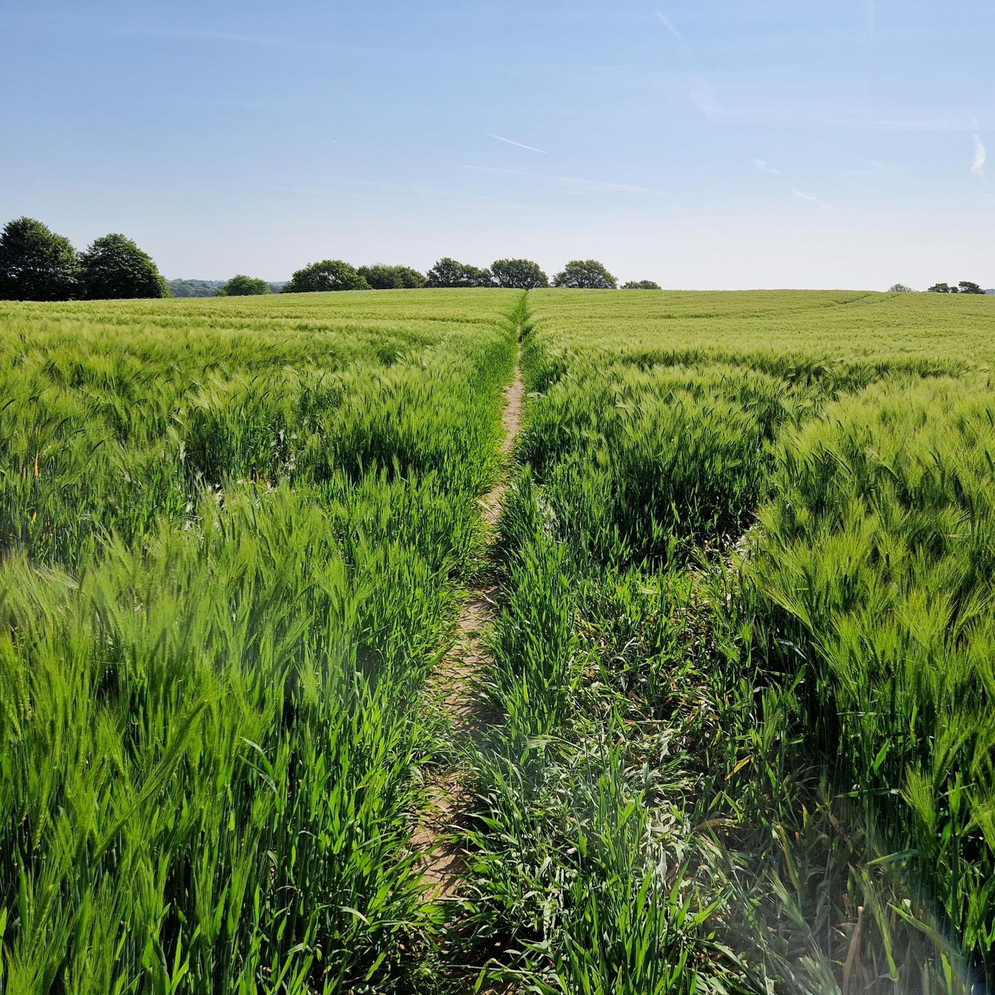
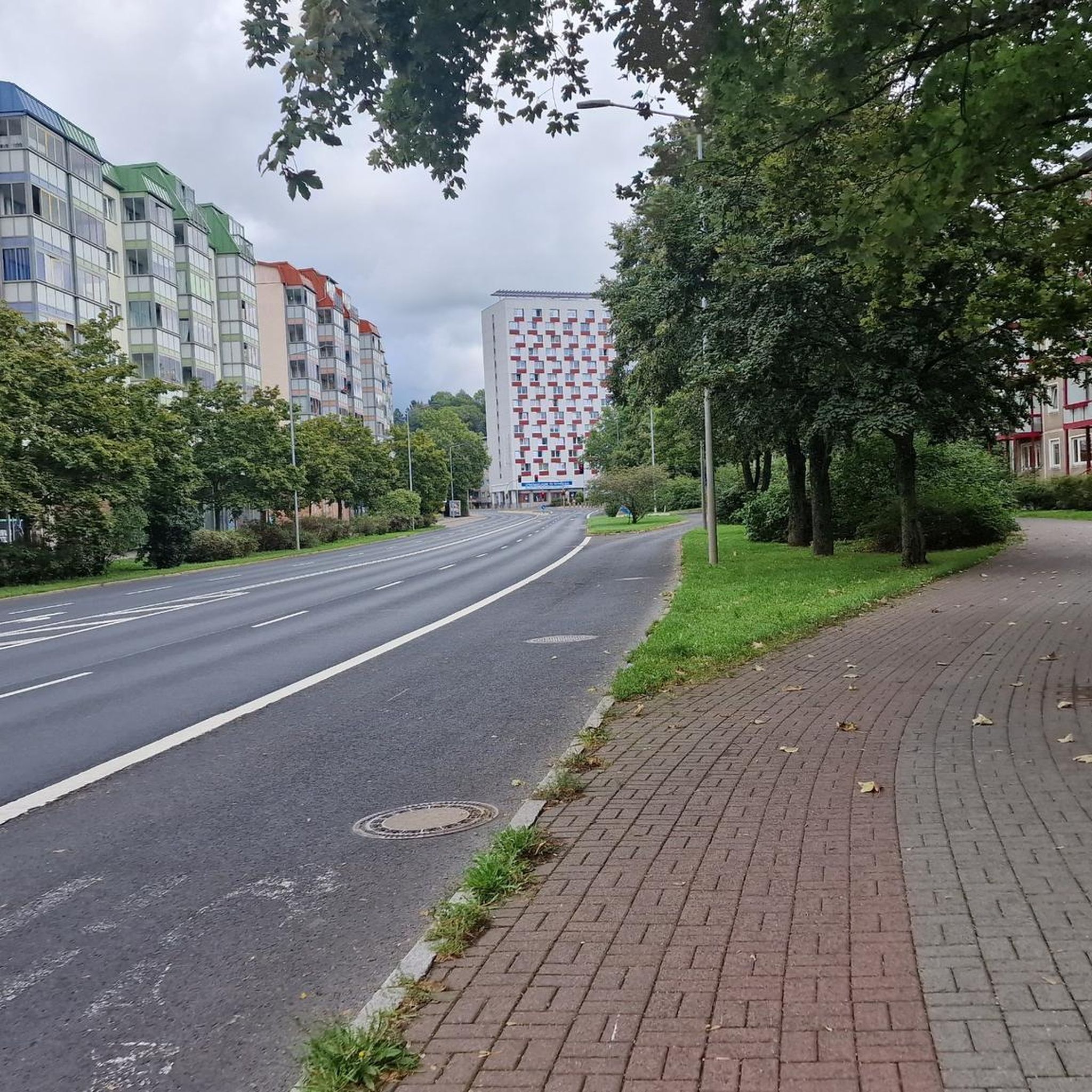
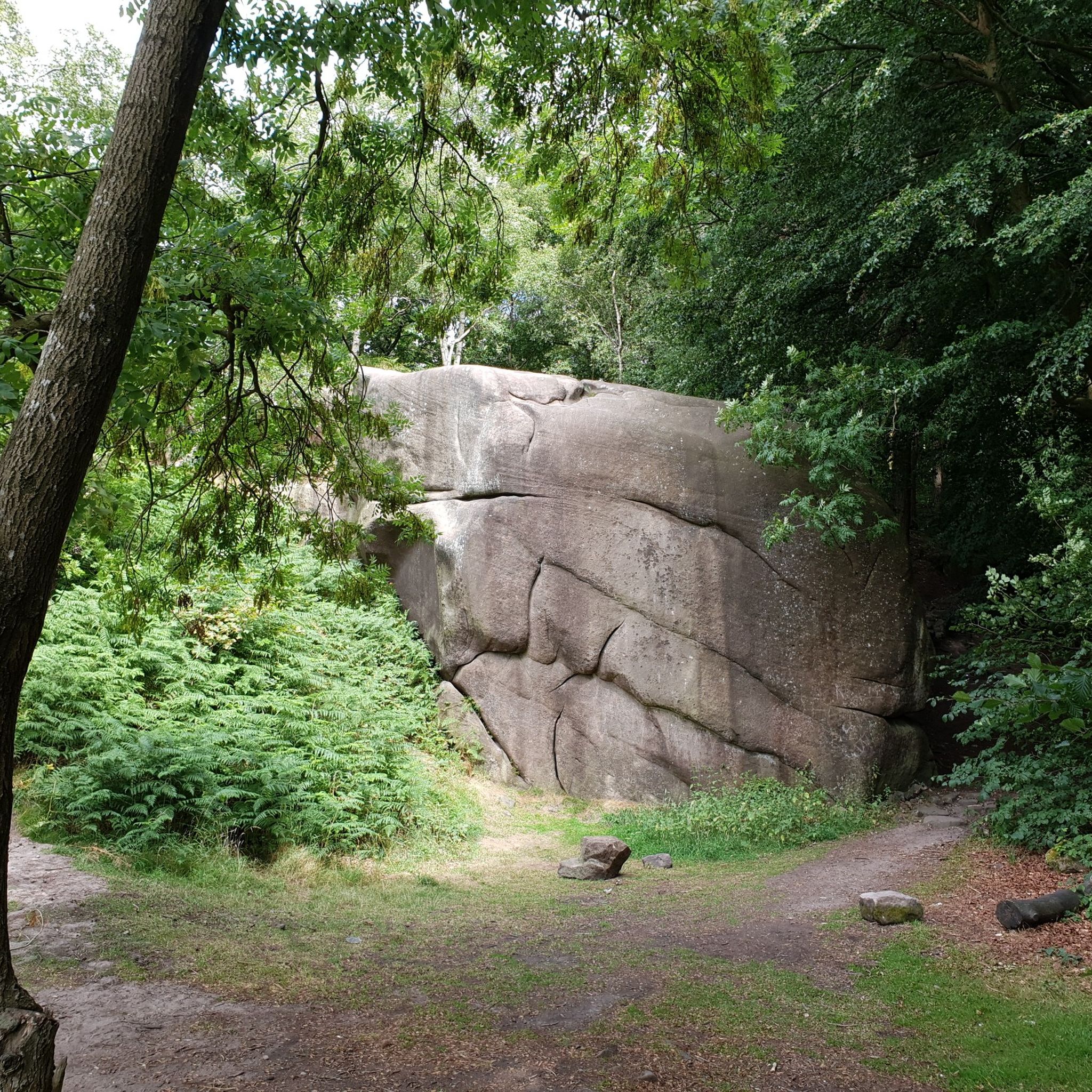
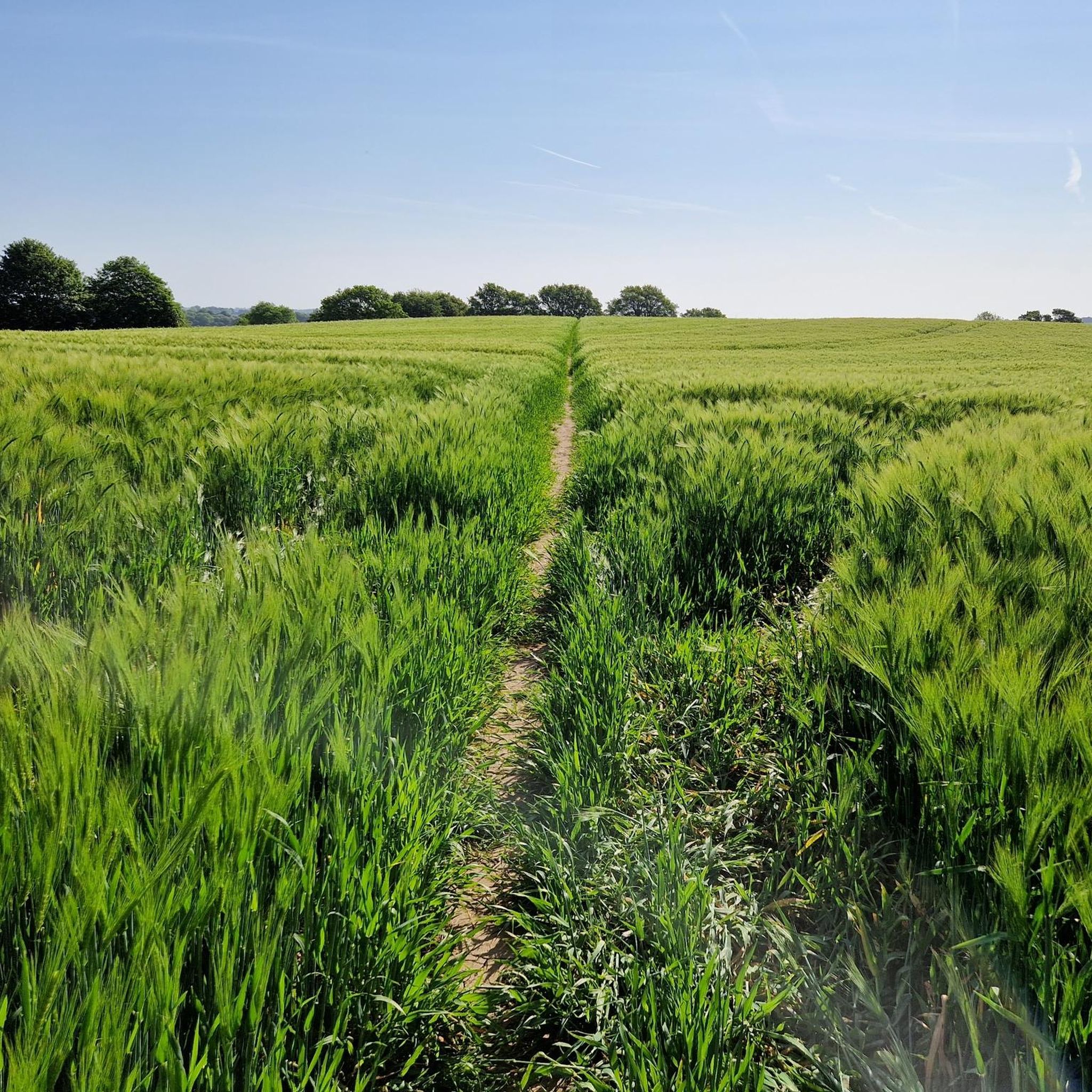
コミュニティからのヒント

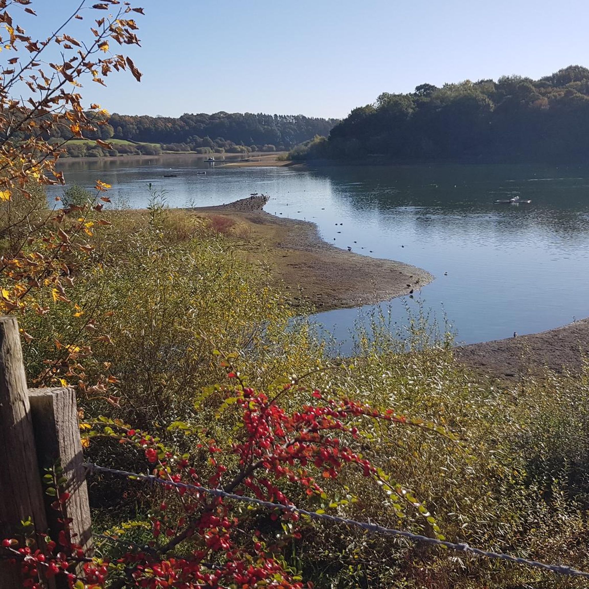
チェスターフィールド郊外にある美しい小さな貯水池で、バードウォッチャーに非常に人気があります
0
0
Nice place to start a hike up to Crich Stand or Ashover
0
0

beautiful peaceful spot with car park and bird hide
0
0

Not great to walk around unless you want to walk on the road a lot. There is no direct access to the reservoir because it is a conservation site. The car park is free and there are benches to sit on to watch the birds. Ognaston Bird Club conducts a guided bird walk on the first Saturday of each month and everyone is welcome. With them, you can access the reservoir surrounding areas to watch birds. If you want great views of the reservoir however you can combine a visit with a footpath walk up from the reservoir through fields and these are quite well signposted and accessible except from a slim squeeze with a holly hedge on one side and part of a footpath which is quite nettly - but will probably be okay by Autumn.
0
0

The church dates from the late 13th century but was heavily rebuilt in 1850 by the contractor C. Lindley of Mansfield to the designs of the architect Thomas Chambers Hine. It reopened on 1 January 1851.
0
0
The plantation has been grown on land that was once one of the colliery spoil heaps.
0
0

Very pretty little wood, unusual due to the Duke's Quarries rockfaces. Nearby Cliff Quarry is the last one still working today, extracting Sandstone & Gritstone.
2
0

Ogston Reservoir was created by flooding the local valley in 1958. The flooding covered the village of Woolley as well as a pub, farmland and a section of the Ashover Light Railway. The reservoir provides drinking water to the local area and is also used as a holding reservoir for Carsington Water. Today it's managed as a water source and leisure ground. The footpaths around the reservoir are popular locally. The Ogston sailing club is known for starting off Ellen MacArthur and it's also a popular trout fishing lake.
0
0
ブラッケンフィールドでのの人気観光スポット

komootモバイルアプリでインスピレーションを得よう


さらに探索
他の地域の最高のランニングトレイル & ルートを見てみましょう。
