サウスクリフのおすすめウォーキング&ハイキングルート
4.5
(739)
4,160
ハイカー
189
ハイキング
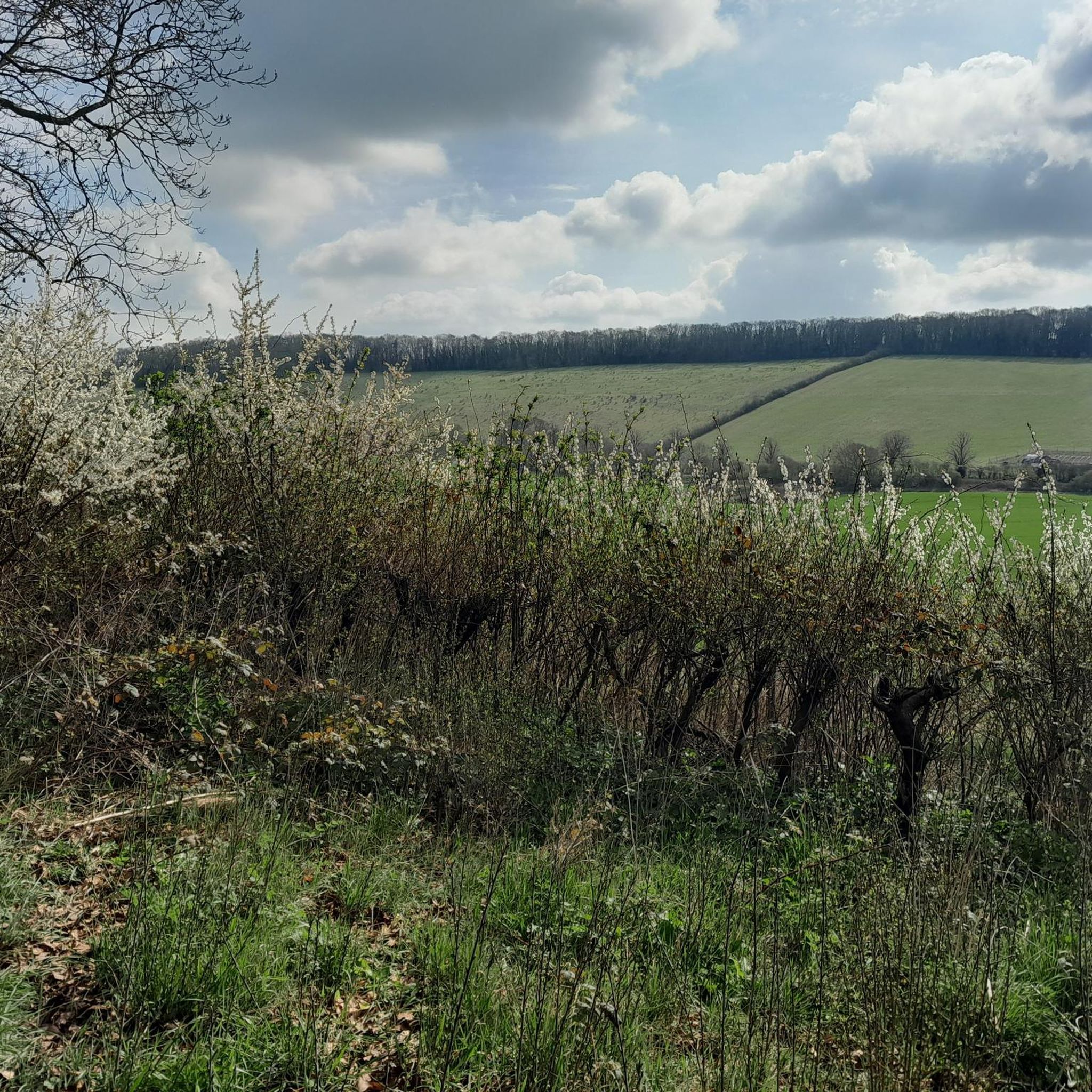
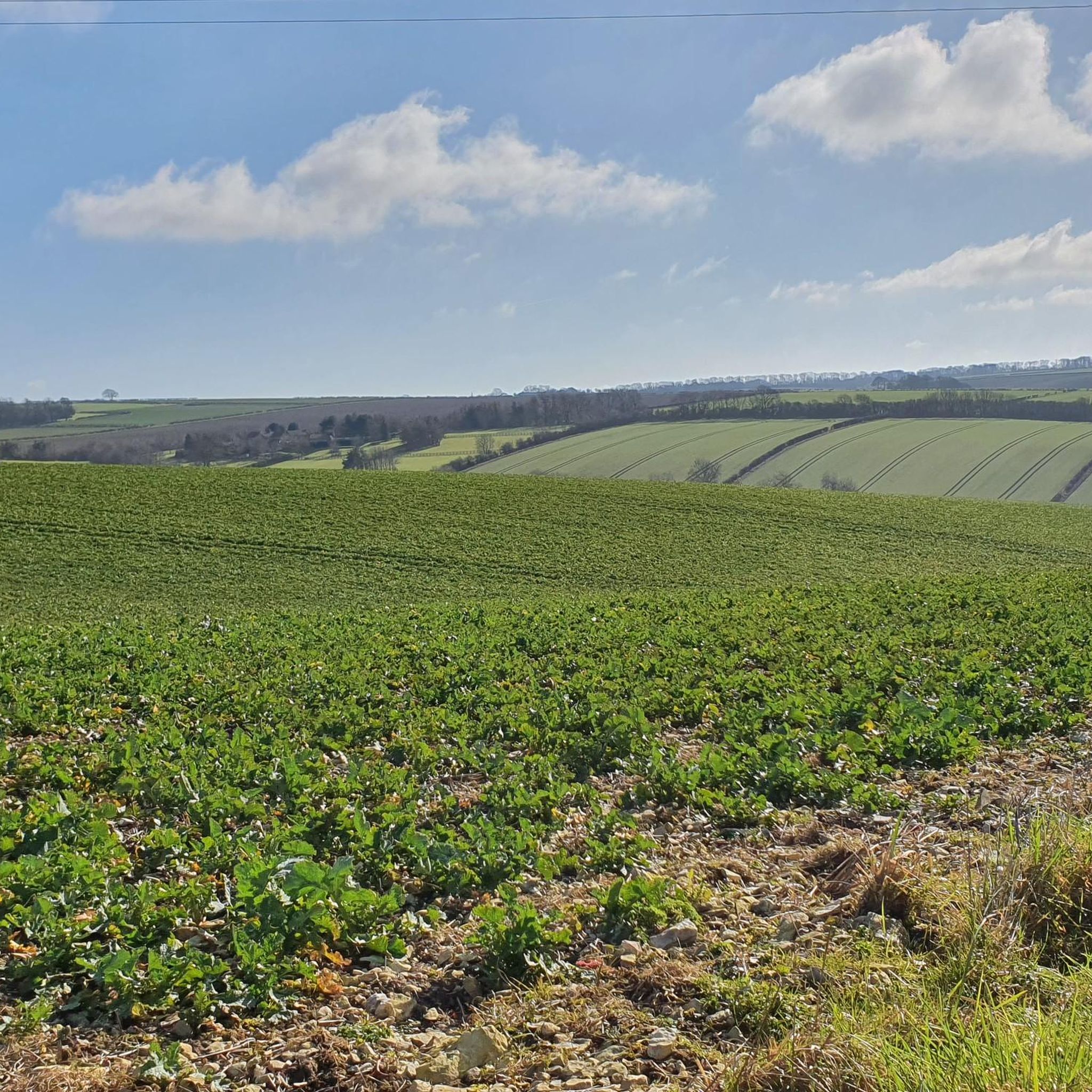
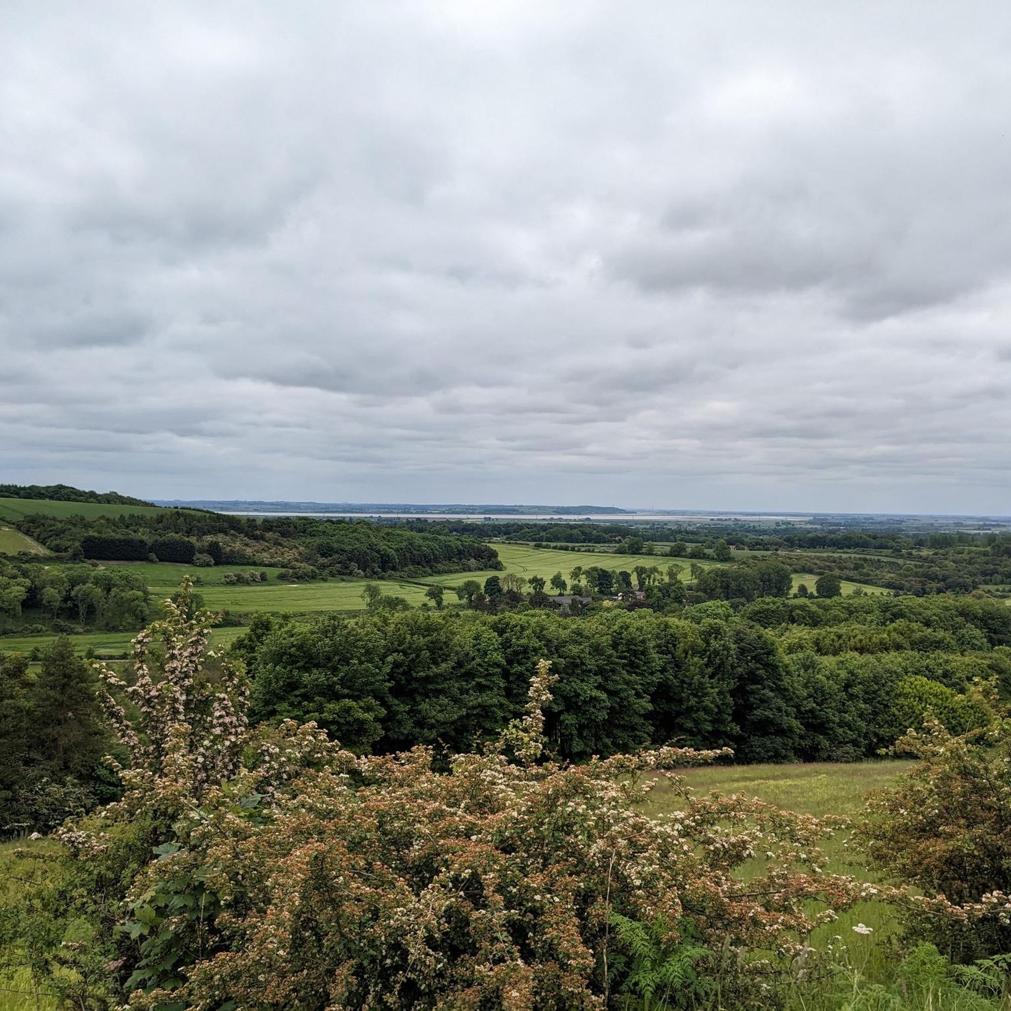
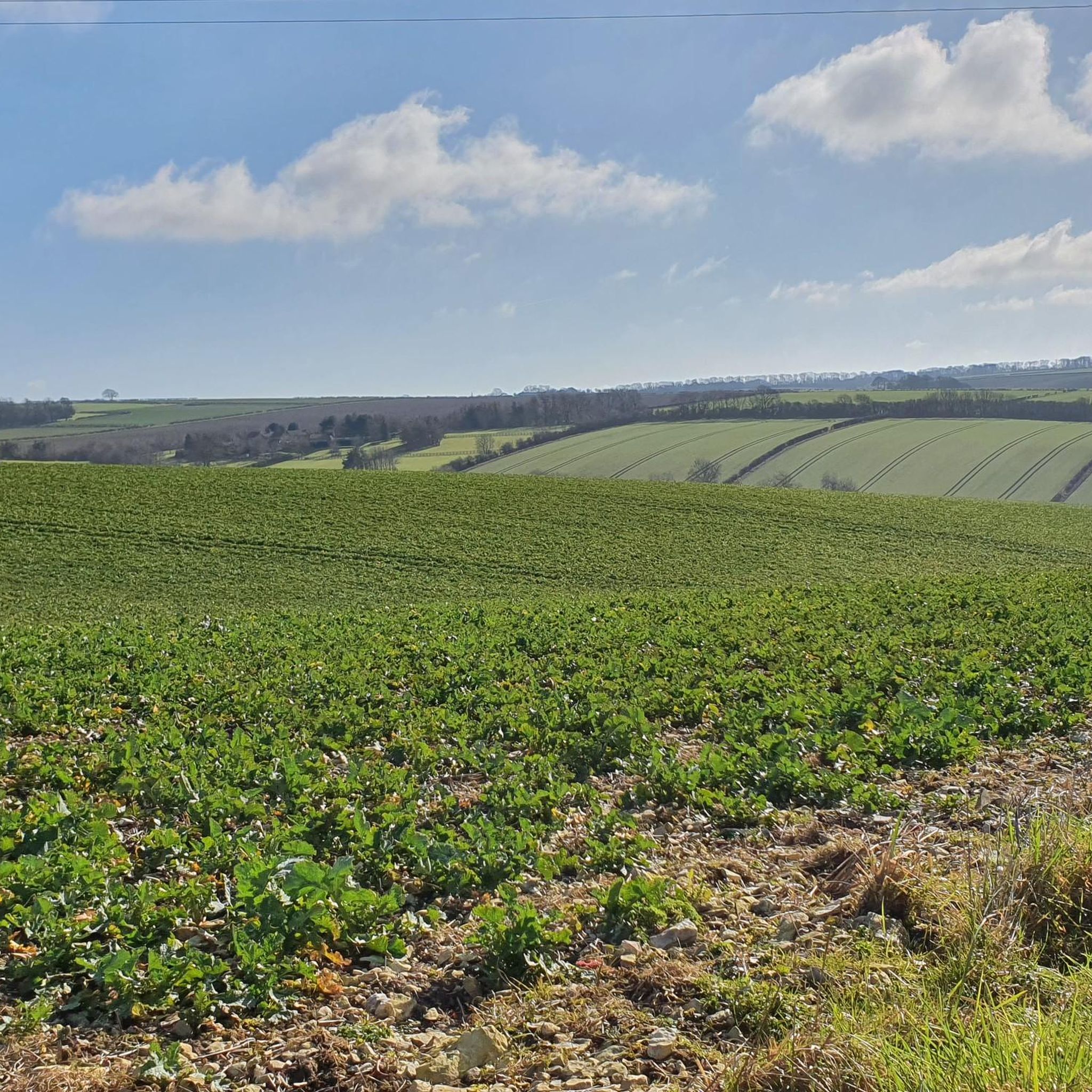
South Cliffe周辺のハイキングは、ヨークシャー・ウォルドの西端近くに位置し、起伏のあるウォルド、開けたムーアランド、運河沿いの小道といった東ライディング・オブ・ヨークシャーの景観を探検します。この地域は、ヨークシャー・ウォルドの西端近くにあり、ノース・ケイブ・ウェットランドのような穏やかな農地や自然保護区を横断するルートを提供しています。地形は一般的に低地で、小道は遊歩道、農道、静かな田舎道が混在しています。この田舎の環境は、農地の景観を通るカントリーウォークの機会を提供します。
South Cliffe周辺の最高のハイキングトレイル
* 最も人気のあるハイキングルートは、Houghton Moor, Market Weighton Canal & North Cave Wetlands loop from Hothamで、18.7 km(11.6マイル)のトレイルで、所要時間は4時間45分です。このルートは、ムーアランドの一部とマーケット・ウェイトン運河沿いの道、そして湿地帯を組み合わせています。
* 地元のハイカーに人気のもう一つのルートは、Market Weighton Town Centre – All Hallows Church, Goodmanham loop from Market Weightonで、11.0 km(6.8マイル)の中程度の長さのパスです。このトレイルは、ヨークシャー・ウォルド・ウェイの一部を、野原や歴史的な教会を通りながらたどります。
* 地元のハイカーに愛されているのは、St. Oswald's Church, Hotham – Hotham War Memorial loop from North Caveで、8.9 km(5.5マイル)のトレイルは、農地を通り抜け、地元のランドマークを通過し、所要時間は約2時間15分です。
* South Cliffe周辺のハイキングは、穏やかなウォルド、運河沿いの道、広大な湿地帯が特徴です。トレイルネットワークは、短い簡単な散歩から長い中程度のハイキングまで、さまざまな体力レベルに適したオプションを提供します。
* South Cliffeのルートは、komootコミュニティから高く評価されており、600件以上のレビューから平均4.5つ星を獲得しています。4,000人以上のハイカーがkomootを利用して、South Cliffeの多様な地形を探検しました。
最終更新日: 9月 1, 2026
3.9
(17)
40
ハイカー
18.7km
04:45
60m
60m
Hike a moderate 11.6-mile loop from Hotham, exploring Houghton Moor, the historic Market Weighton Canal, and the wildlife-rich North Cave We
4.8
(49)
260
ハイカー
10.8km
02:50
90m
90m
中程度のハイキング. ある程度のフィットネスレベルが必要です。 進みやすいルートです。あらゆるスキルレベルに適しています。

4.9
(8)
67
ハイカー
9.10km
02:32
170m
170m
中程度のハイキング. ある程度のフィットネスレベルが必要です。 進みやすいルートです。あらゆるスキルレベルに適しています。
4.6
(5)
73
ハイカー
2.44km
00:37
0m
0m
初級者向けハイキング. あらゆるフィットネスレベルに適しています。 進みやすいルートです。あらゆるスキルレベルに適しています。
4.4
(11)
56
ハイカー
16.1km
04:16
160m
160m
中程度のハイキング. ある程度のフィットネスレベルが必要です。 進みやすいルートです。あらゆるスキルレベルに適しています。
さらに多くのルートや他のユーザーのおすすめ情報を確認できます。
すでにアカウントをお持ちですか?
おすすめのツアーは他のkomootユーザーが実際に経験した何千ものアクティビティに基づいています。
無料アカウントで今日から始めよう
次の冒険が待っています。
コミュニティからのヒント

The church has several interesting features, such as the window near the chancel.
0
0


There are a few pleasant routes through this wood, some of the tracks are quite boggy due to ongoing forestry operations, however, it is very easy to circumvent these patches.
1
0
See https://www.newbaldparishcouncil.gov.uk/church/ or https://historicengland.org.uk/listing/the-list/list-entry/1346990 Built on a ridge and situated centrally, St Nicholas Church appears to dominate the skyline of the village. Described by Nikolaus Pevsner, one of our greatest historians of ancient buildings as, ‘the most complete Norman Church in the East Riding’ and often called ‘the Cathedral of the Wolds’, the church derives its name from the Greek, Saint Nikolaus of Myra (270-340 AD). He was also known as Nikolaus the Wonder-worker, famed for secret gift-giving, and became the model for Santa Claus, itself a corruption of Saint Nicholas. He became the Patron Saint of a rich array of professions and lost causes, including: Archers, Brewers, Pawnbrokers, the Clergy, Thieves, Prostitutes and Murderers.
1
0
Archetypal English village with its large village green surrounded by pretty stone houses and two pubs. The open beck runs in front of the houses in Eastgate, each with their own private bridge. The banks of the stream are planted with flowers. A large flat circular stone on the green known as the whipping stone is probably the base of the old market cross but rumour has it that a man was whipped to death here in 1624. https://www.newbaldparishcouncil.gov.uk/about-newbald/
1
0
Nice easy northbound descent, if you keep going after crossing Arras Hill / York Road, this great track continues with panoramic views north, until you pick up the Hudson Way Rail Trail back into Market Weighton.
1
0
Eyecatching stable block at Towthorpe Grange, next the site of the medieval village of Towthorpe.
1
0
サウスクリフでのの人気観光スポット

komootモバイルアプリでインスピレーションを得よう


さらに探索
他の地域の最高のハイキングを見てみましょう。
