リッチフィールドのおすすめウォーキング&ハイキングルート
4.5
(2578)
21,395
ハイカー
222
ハイキング
リッチフィールドでのハイキングに出かけて、スタッフォードシャーのこのエリアを探索してみませんか?このガイドでご紹介するのは、komootがリッチフィールドでのハイキング・ウォーキングルートのコレクション全体を評価して選び抜いた、このエリアの人気ハイキングルートです。あなたに合った でのハイキングを見つけるには、他のユーザーがアップロードした役立つ情報や写真を閲覧し、各ルートに関するみんなの意見やコメントを参考にしましょう。
最終更新日: 8月 30, 2026
4.7
(35)
167
ハイカー
8.70km
02:12
20m
20m
This moderate hike along the Trent and Mersey Canal to The Coventry Canal via Fradley Junction covers 5.4 miles (8.7 km) with a gentle 63 feet (19 metres) of elevation…
4.6
(26)
88
ハイカー
6.02km
01:32
20m
20m
The Chasewater Country Park loop offers an easy hike, perfect for a gentle stroll around the expansive reservoir. This 3.7-mile (6.0 km) route features minimal elevation gain, just 69 feet…

無料新規登録
5.0
(1)
7
ハイカー
21.2km
05:37
210m
210m
This difficult 13.2-mile hiking loop combines sections of the Heart of England Way and Two Saints Way, offering historical views and natural
5.0
(1)
7
ハイカー
19.9km
05:17
200m
200m
Hike the challenging 12.4-mile Two Saints Way from Gentleshaw Common to Lichfield Cathedral, gaining 664 feet in 5 hours.
4.5
(4)
14
ハイカー
4.14km
01:08
60m
60m
中程度のハイキング. あらゆるフィットネスレベルに適しています。 全般的に進みやすいルートです。安定して歩行できる技術が必要です。
5.0
(34)
542
ハイカー
初級者向けハイキング. あらゆるフィットネスレベルに適しています。 進みやすいルートです。あらゆるスキルレベルに適しています。
4.9
(18)
328
ハイカー
6.36km
01:37
20m
20m
初級者向けハイキング. あらゆるフィットネスレベルに適しています。 進みやすいルートです。あらゆるスキルレベルに適しています。
5.0
(5)
47
ハイカー
11.9km
03:08
100m
100m
中程度のハイキング. ある程度のフィットネスレベルが必要です。 進みやすいルートです。あらゆるスキルレベルに適しています。
5.0
(1)
61
ハイカー
7.03km
01:48
30m
30m
初級者向けハイキング. あらゆるフィットネスレベルに適しています。 進みやすいルートです。あらゆるスキルレベルに適しています。
3.3
(8)
35
ハイカー
10.8km
02:53
110m
110m
中程度のハイキング. ある程度のフィットネスレベルが必要です。 進みやすいルートです。あらゆるスキルレベルに適しています。
さらに多くのルートや他のユーザーのおすすめ情報を確認できます。
無料新規登録
すでにアカウントをお持ちですか?
おすすめのツアーは他のkomootユーザーが実際に経験した何千ものアクティビティに基づいています。


コミュニティからのヒント


Fradley Junction Laughing Duck Cafe is a great place to stop
0
0

A towpath (known in German as a towpath or Leinpfad), which runs alongside the river or canal, was an essential part of the transport infrastructure in earlier times. Before ships could be propelled by motor power, horses walked along the bank, pulling the boat against the current. This activity was called "treideln" in German, and thus the "treidelpfad" got its name. Where these paths – running directly along the bank – have survived to this day, they no longer serve their original purpose, but are still popular: namely, with hikers and cyclists.
0
0

THIS PLAQUE AND BOUNDARY STONE. SPONSORED BY THE LICHFIELD BRANCH OF THE INLAND WATERWAYS ASSOCIATION AND UNVEILED AT THE BI-CENTENARY ON 22ND JULY 1990 BY ROGER HERRINGTON OF BRITISH WATERWAYS MARKS THE JOINING OF THE BIRMINGHAM AND FAZELEY AND COVENTRY CANALS AT THE WHITTINGTON BROOK IN JULY 1790
0
0
The Dog was originally a coaching inn and the building dates back about 300 years. Until quite recently the pub was a simple local; however, in 1992 the pub was extended and transformed into a cosy, attractively furnished hostelry with a popular restaurant, panelled bar and good selection of lagers and hand-pulled beers.
0
0

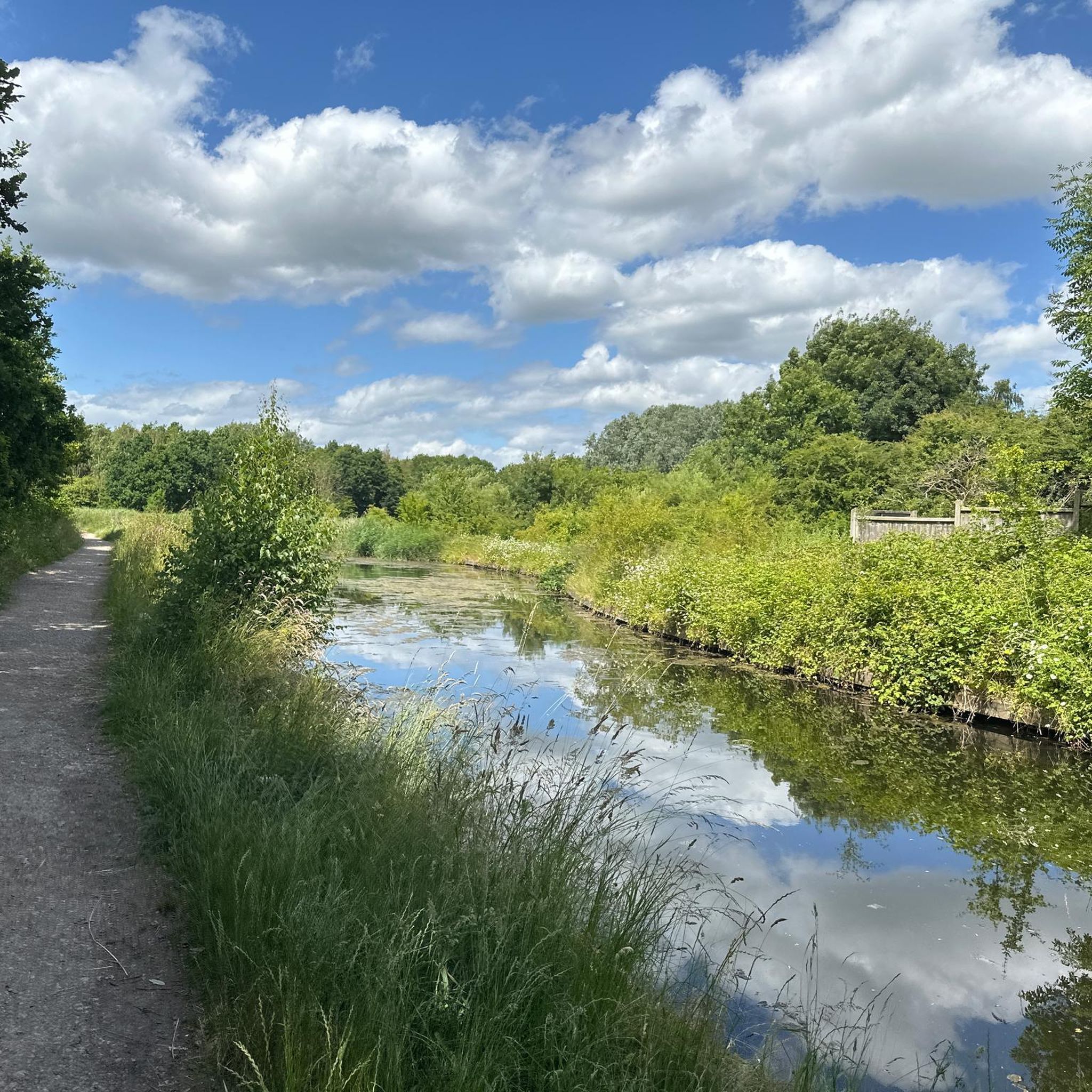
A lovely place to go for a walk and cycle along the towpath. Just wear good shoes as it can be a bit muddy when it's wet.
1
0

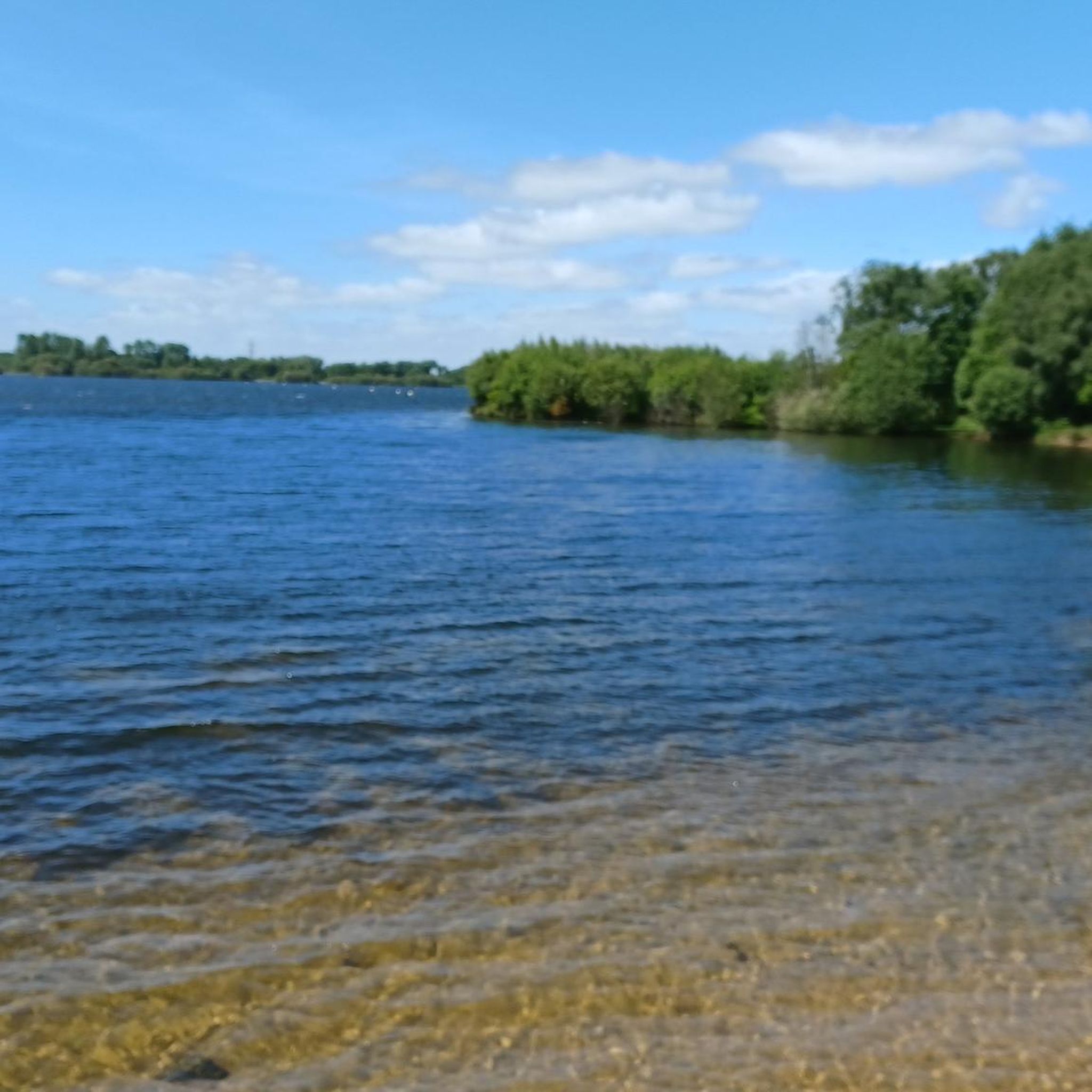
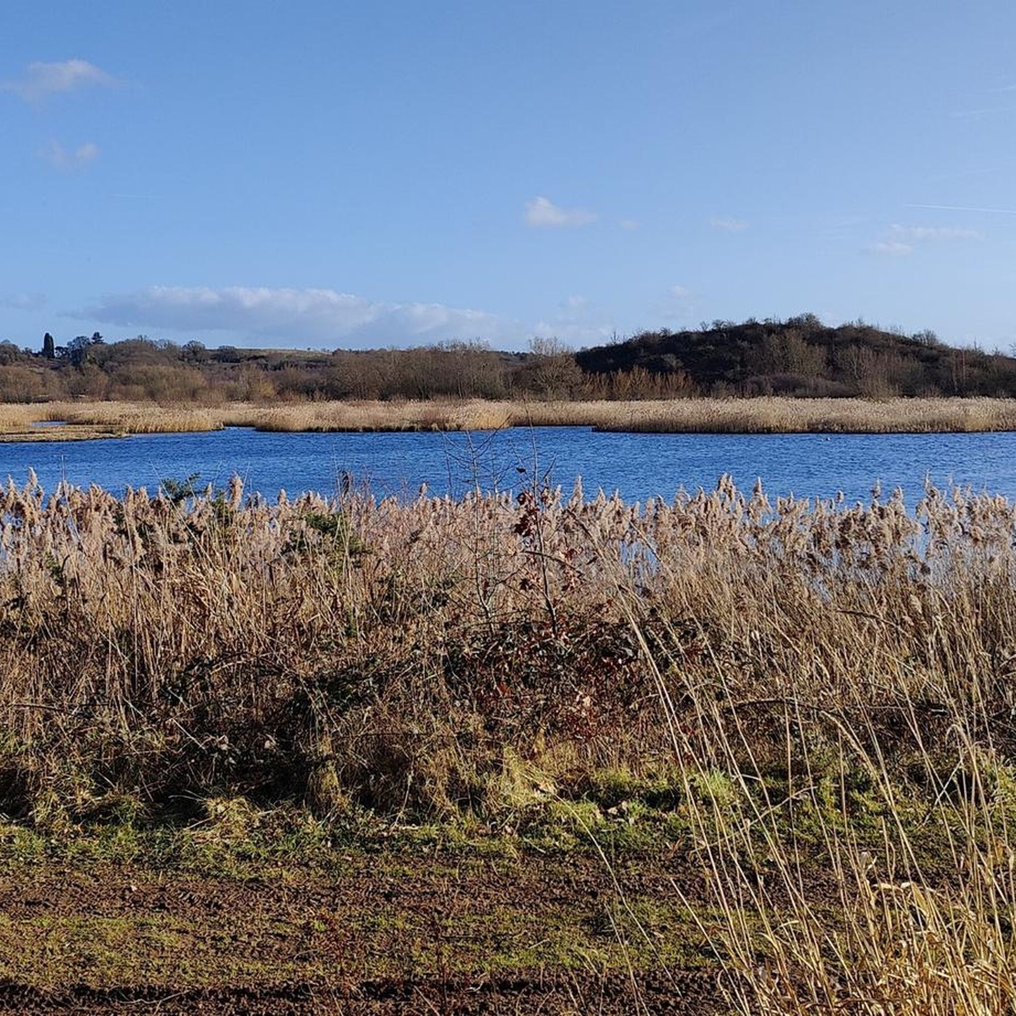
This cycleway runs along the eastern side of the lake, offering lovely views of the reservoir and country park. It’s a great spot to take a break, refuel, or enjoy a picnic.
1
0
リッチフィールドでのの人気観光スポット

komootモバイルアプリでインスピレーションを得よう


探していたものは見つかりませんでしたか?
リッチフィールドの下にある他のハイキングをチェックして、目的地で完璧なルートを見つけましょう。
さらに探索
他の地域の最高のハイキングを見てみましょう。
