ハイピークのおすすめウォーキング&ハイキングルート
4.6
(23024)
145,442
ハイカー
1,668
ハイキング
ハイピークでのハイキングに出かけて、ダービーシャーのこのエリアを探索してみませんか?このガイドでご紹介するのは、komootがハイピークでのハイキング・ウォーキングルートのコレクション全体を評価して選び抜いた、このエリアの人気ハイキングルートです。あなたに合った でのハイキングを見つけるには、他のユーザーがアップロードした役立つ情報や写真を閲覧し、各ルートに関するみんなの意見やコメントを参考にしましょう。
最終更新日: 11月 20, 2026
4.8
(1152)
5,393
ハイカー
14.4km
04:24
510m
510m
Embark on the Kinder Scout Circular Walk, a moderate hiking route that takes you across varied terrain in the Peak District. You will cover 8.9 miles (14.4 km) and gain…
4.8
(791)
3,176
ハイカー
13.3km
03:57
410m
410m
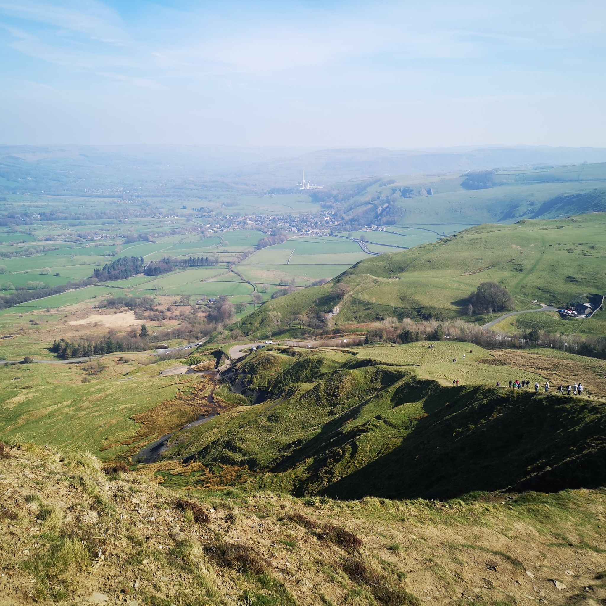
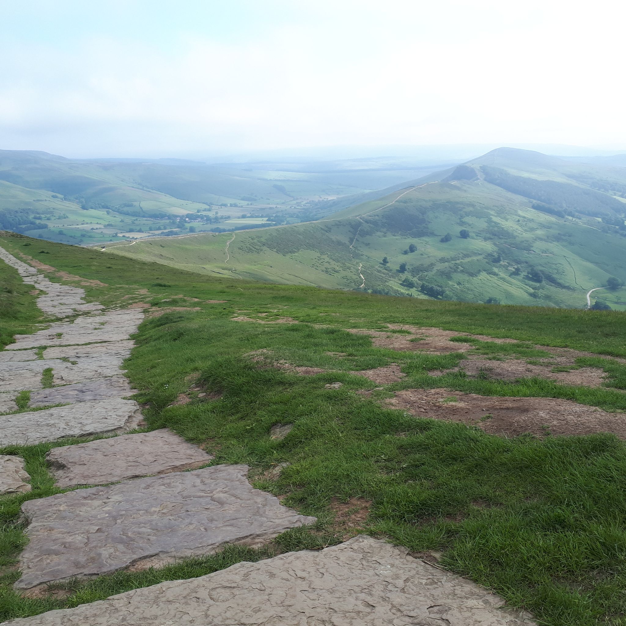
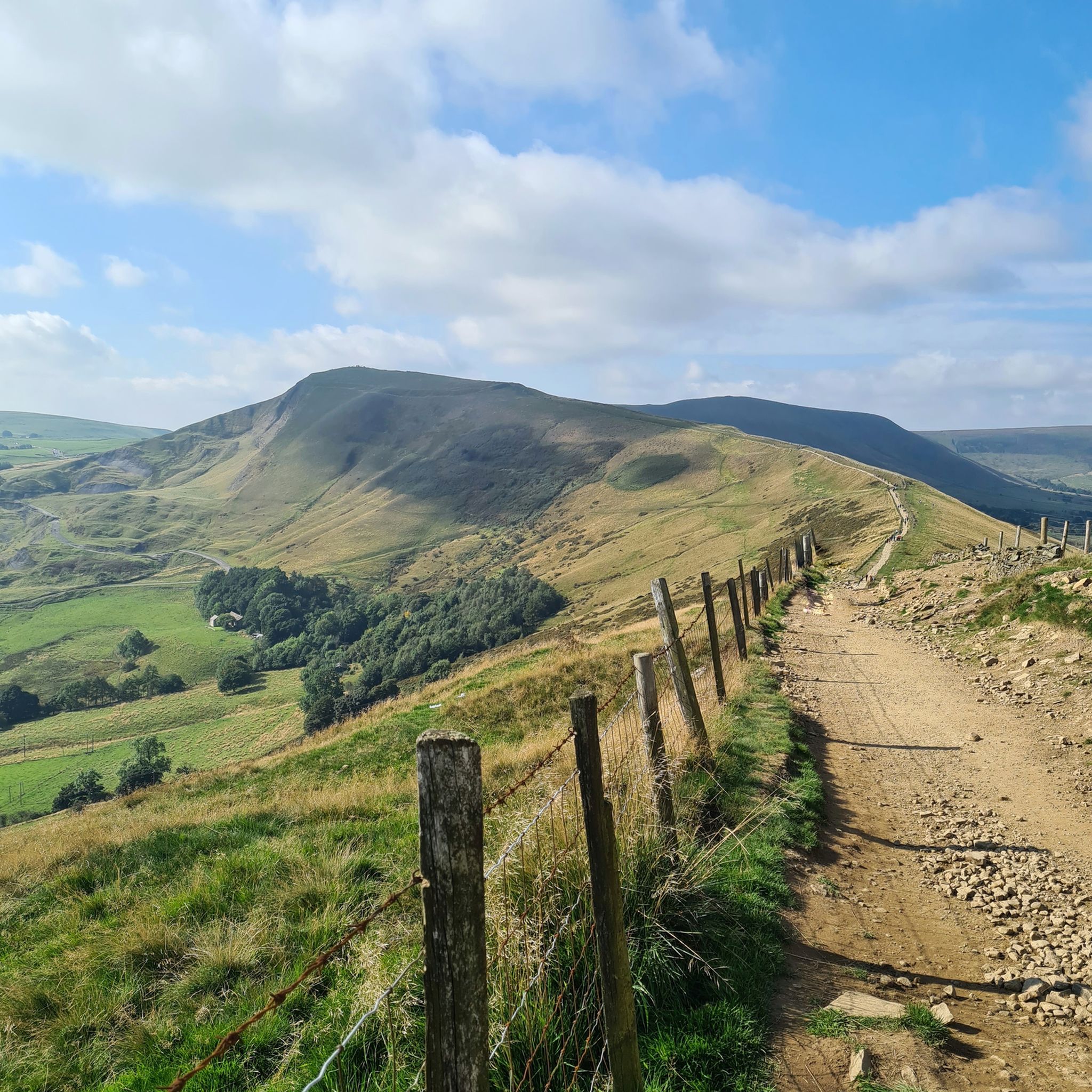
Embark on the Mam Tor and the Great Ridge Circular, a moderate hiking route that showcases some of the Peak District's most iconic landscapes. As you traverse the Great Ridge,…

4.8
(706)
3,017
ハイカー
13.3km
03:58
410m
410m
Embark on a rewarding hike through the Peak District National Park with the Mam Tor, Lose Hill & Hope loop from Castleton. This moderate route covers 8.3 miles (13.3 km)…
4.8
(499)
2,826
ハイカー
Embark on a challenging hike through the dramatic landscapes of the Peak District with the Kinder Reservoir, Kinder Downfall & Kinder Low loop from Bowden Bridge. This moderate route covers…
4.8
(376)
3,042
ハイカー
13.0km
03:23
90m
100m
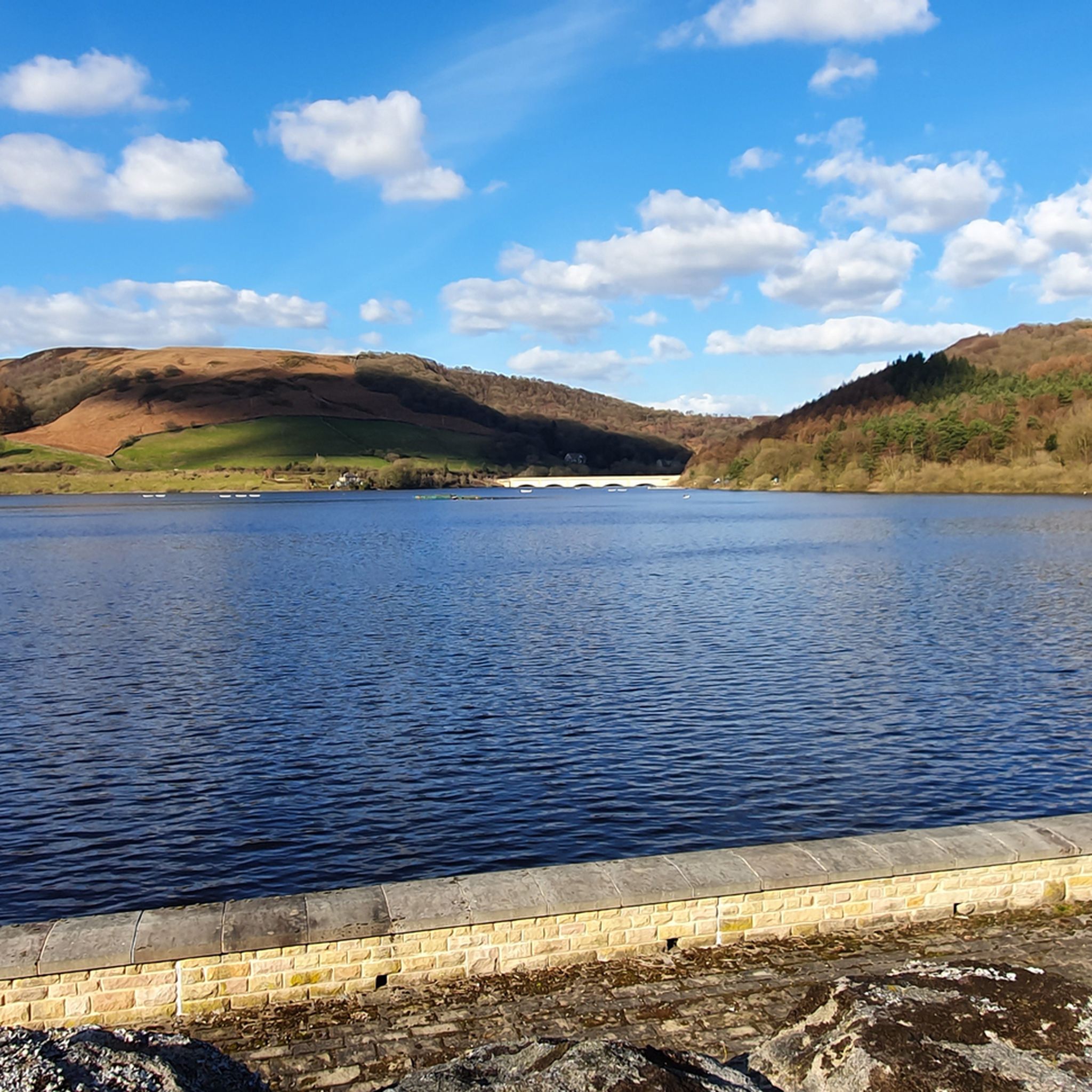
Embark on a moderate hike around the Ladybower & Derwent Dam loop, a scenic journey through the Peak District National Park. This route spans 8.0 miles (13.0 km) with an…
4.9
(382)
2,382
ハイカー
13.1km
04:00
440m
440m
Embark on a moderate 8.2-mile (13.1 km) hike around Mam Tor and Lose Hill from Castleton, a journey that typically takes you about 3 hours and 59 minutes to complete.…
4.9
(373)
2,258
ハイカー
13.0km
03:58
450m
450m
Embark on the Mam Tor, The Great Ridge & Castleton loop, a moderate 8.1-mile (13.0 km) hike in the Peak District National Park. This picturesque route, typically completed in about…
4.4
(302)
1,904
ハイカー
16.0km
04:57
490m
490m
Embark on a moderate 9.9-mile (16.0 km) hike through the Peak District National Park, gaining 1602 feet (488 metres) of elevation over approximately 4 hours and 56 minutes. This loop…
4.8
(187)
1,424
ハイカー
32.8km
09:28
820m
820m
Embark on the challenging Edale Skyline loop from Hope, a difficult hiking route that spans 20.4 miles (32.8 km) and climbs 2698 feet (822 metres). This full-day adventure, estimated to…
4.8
(179)
1,323
ハイカー
31.0km
08:51
710m
710m
The Edale Northern Skyline & Castleton loop from Hope is a difficult hike, spanning 19.3 miles (31.0 km) with an elevation gain of 2339 feet (713 metres), typically taking 8…
さらに多くのルートや他のユーザーのおすすめ情報を確認できます。
すでにアカウントをお持ちですか?
おすすめのツアーは他のkomootユーザーが実際に経験した何千ものアクティビティに基づいています。
無料アカウントで今日から始めよう
次の冒険が待っています。

ハイピークでのの他の冒険


コミュニティからのヒント

キンダー・スカウトを登る際、キンダー・ロウにある三角点が頂上だと考える人が多いですが、実際はそうではありません。頂上はキンダー・ロウより約3メートル高く、さらに5〜10分ほど道から外れた場所にあります。ヒースや湿地帯を歩く準備をしてください。非常に目立たないケルンで示されており、見逃してしまうかもしれません。
1
0


印象的です。特に水位が高く、これらの開口部に水があふれるときはなおさらです。
0
0
おそらく私のお気に入りの三角測量地点です。このムーアのこの部分はいつもムーディーで荒涼としています。今日の三角測量地点の周りの沼は腰の高さくらいでした(誰かが這い出ているのを見ました!)。
0
0


Interesting piece of history surrounding Mam Tor
0
0

Crowden Tower 618m P5.2 (2027ft) (Hill ID: 512895) [JNSA s1076] The Mountains of England & Wales summit. Peak District National Park Definitive List summit.
0
0

Great car park and clean toilets 👍
0
0

komootモバイルアプリでインスピレーションを得よう


探していたものは見つかりませんでしたか?
ハイピークの下にある他のハイキングをチェックして、目的地で完璧なルートを見つけましょう。
さらに探索
他の地域の最高のハイキングを見てみましょう。
