ルイス周辺のアトラクション&必見スポット - トップ20
ルイスには必見のスポットがたくさんあります。ハイキング愛好家やサイクリング愛好家の方は、ぜひルイスを探索してこのエリアにある20
の隠れたスポットを訪れてみてください。このエリアの必見スポットを確認し、次の冒険に出かける計画を立てましょう。
最終更新日: 8月 29, 2026
ディッチリング・ビーコン
ハイライト • 自然記念物
役立つ情報 は

ファール・ビーコン山頂
ハイライト • 山頂
役立つ情報 は
今すぐサインアップして、こんな場所を発見しよう
最高のシングルトラック、ピーク、その他のエキサイティングなアウトドアスポットのおすすめを受け取ろう。
無料新規登録
サウシーズのセント・ピーター教会
ハイライト • 歴史的な場所
役立つ情報 は
ブラックキャップ山頂と三角点
ハイライト • 展望台
役立つ情報 は

ルイス城
ハイライト • 歴史的な場所
役立つ情報 は

ザ・ジャッグス
ハイライト • パブ
翻訳者 Google •
役立つ情報 は

Old Coach Road
ハイライト (セグメント) • 歴史的な場所
役立つ情報 は

サセックス・ボーダー・パス:ディッチリング・ビーコンからフィッシャーズゲート
ハイライト (セグメント) • トレイル
役立つ情報 は
キャッスル・ヒル国立自然保護区
ハイライト • 展望台
役立つ情報 は

Beggars Wood Road、チャイリー・コモン自然保護区
ハイライト • 自然
役立つ情報 は

無料でサインアップして、さらに多くの観光スポットを発見しましょう ルイスでの。
無料新規登録
すでにアカウントをお持ちですか?
無料アカウントで今日から始めよう
次の冒険が待っています。
ログインまたは登録
ルイス周辺で人気
サウス・ダウンズ・ウェイ - 国立公園を横断する100マイルのランニングコース
公園を歩く - サスダウンズ国立公園を渡る
南イングランドを横断する魅力的なハイキング - South Downs Way
ハイ・ウィールドからサウス・ダウンズまで — サセックス・オーズ・バレー・ウェイ
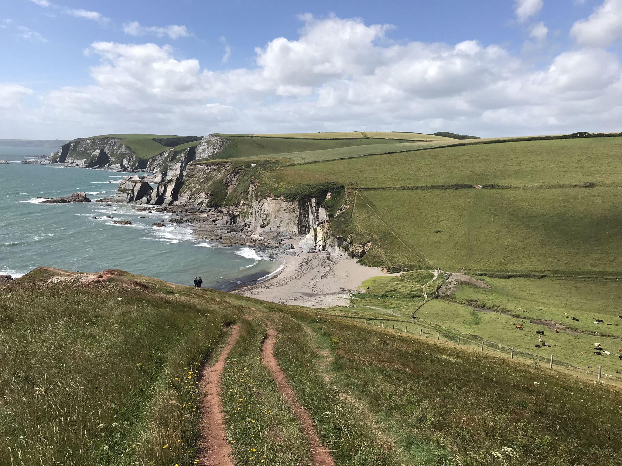
イングランドの南海岸の壮大なる探検 — E9 プリマスからドーバーまで
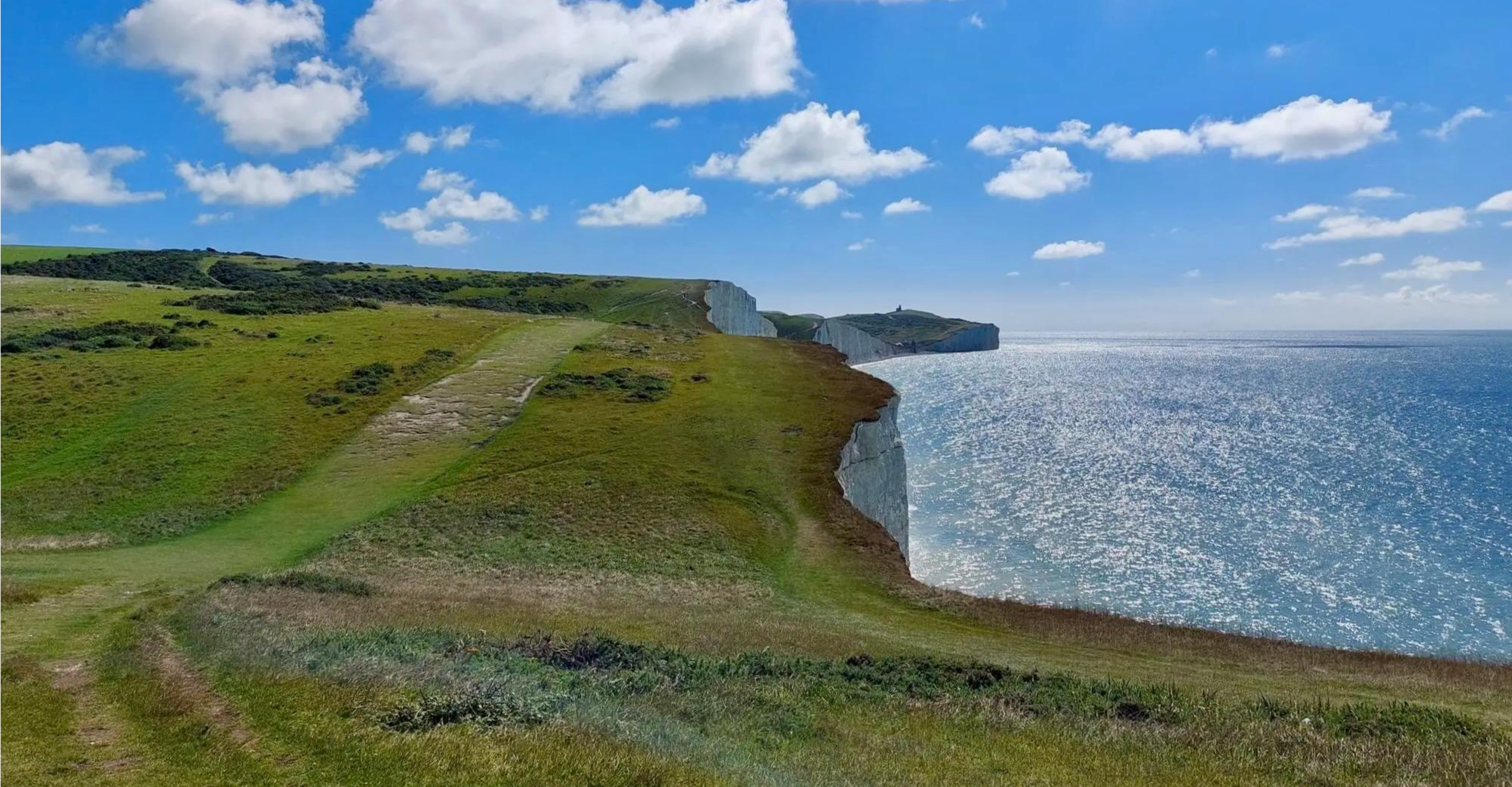
古老なる路と特筆する自然景観をハイキング — South Downs Way
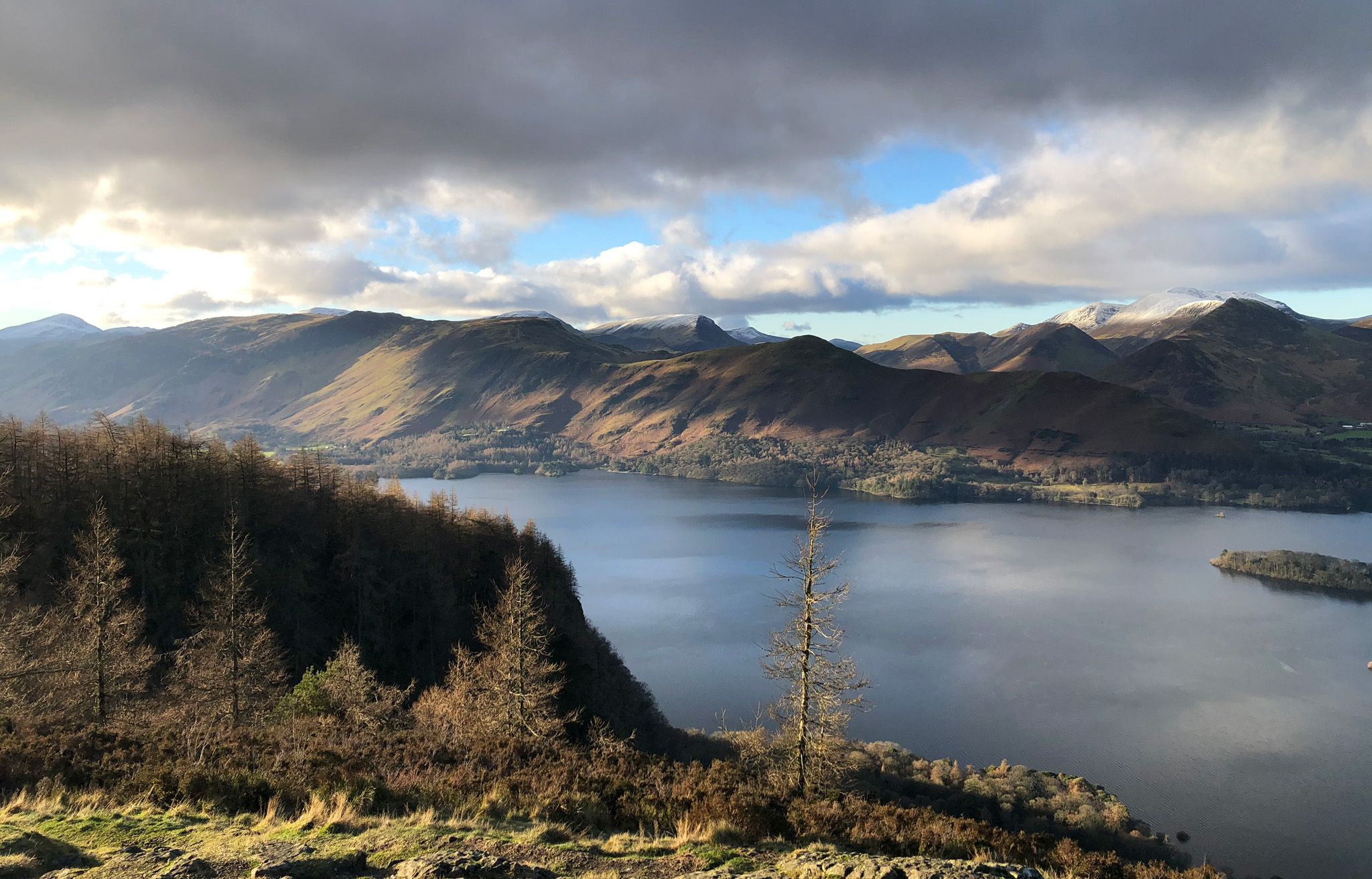
イングランドの国立公園での収息をとるウォーク
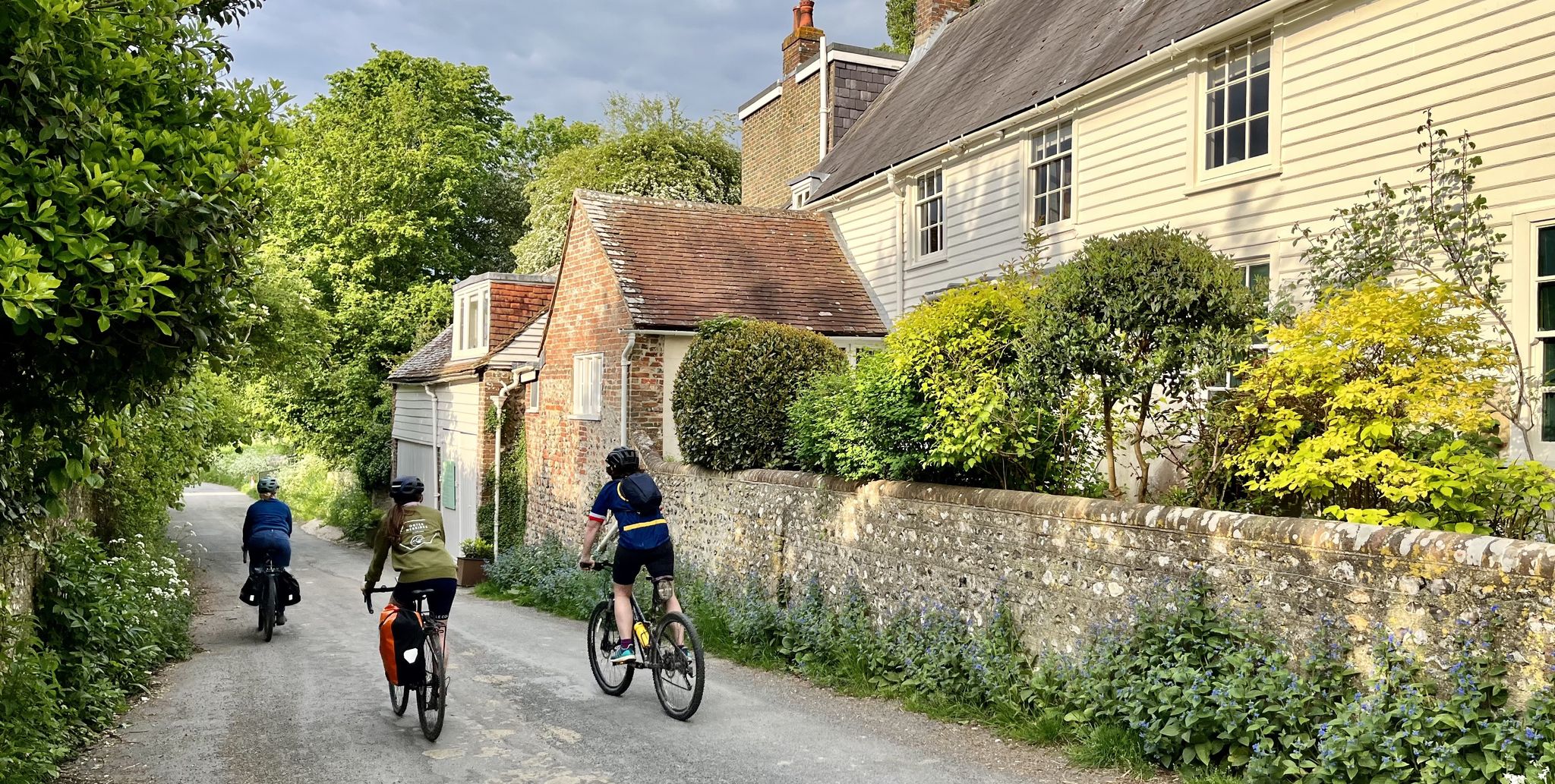
サスセックスダウンズ国立公園を探検して-15のレールトーロードライド
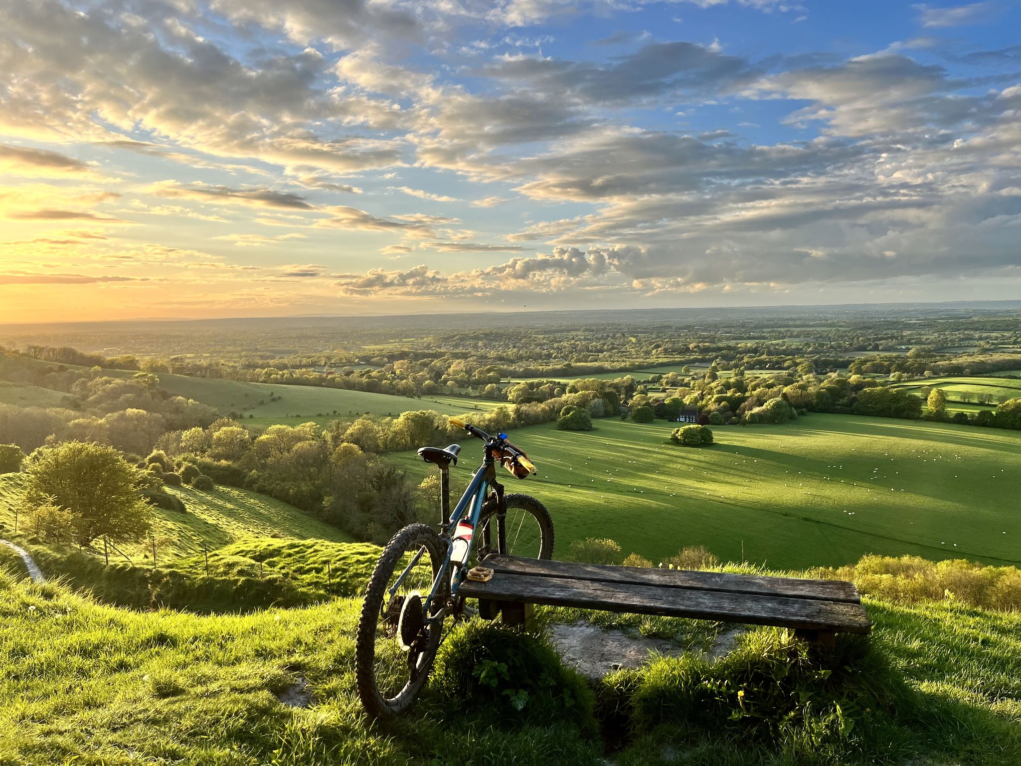
サウスダウンズ国立公園を発見せよ — 20のレール・トゥ・トレイルライド
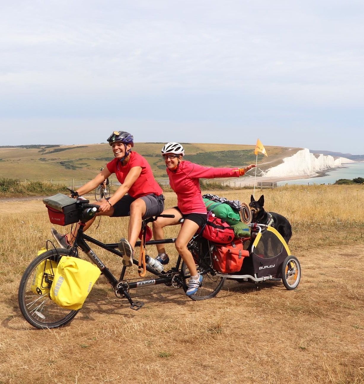
南京国のエランドアバルトリークが後多快間がません
ルイスでのの他の冒険


コミュニティからのヒント

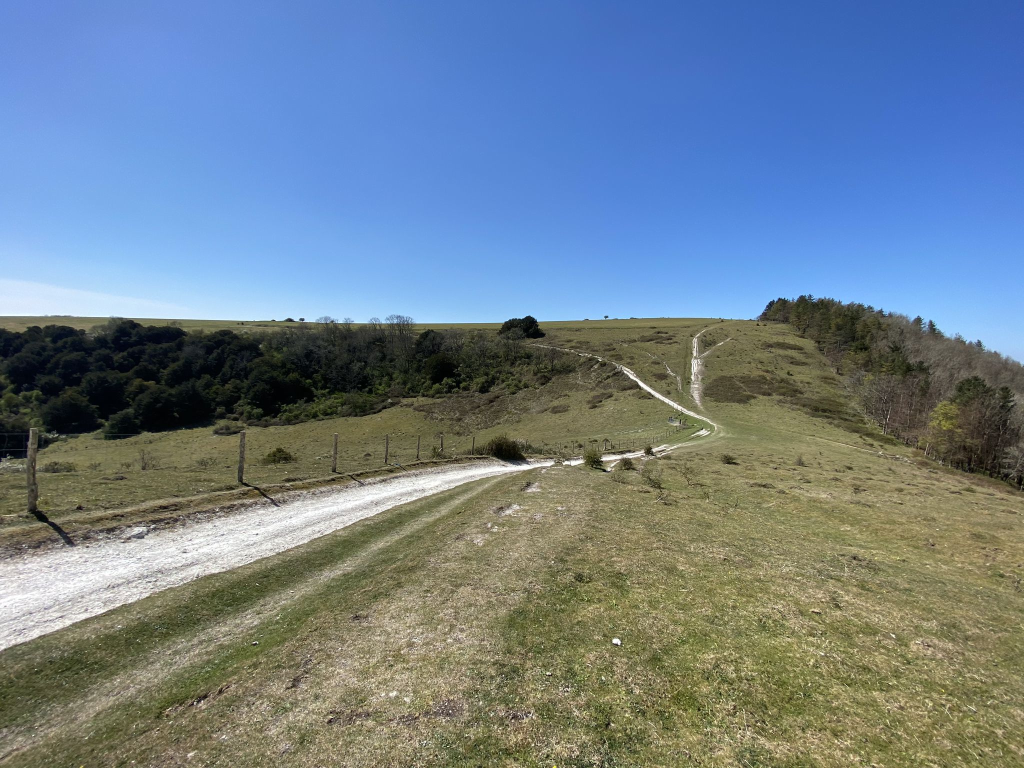
大きな水たまりが乾くと、ここはサウス・ダウンズが提供する最高のグラベルルートの1つになります。このハイライトには、茂みを通る狭い部分を含む全ルートが含まれています。
0
0


The Sussex Border Path is a long-distance footpath that is nearly 150 miles (241 km) long and goes around the county boundary of Sussex. It is a relatively new trail initiated in 1983, and since its inception, the route has only traced the county boundary. As Sussex has been split administratively into east and west for many years, there is now a new border path section running from East Grinstead to Brighton, reflecting these east and west sections. This is part of that section and runs from Ditchling Beacon to Fishersgate, or vice versa. The section is 12 miles (19 km) long and consists of Ditchling Beacon itself, sections of beautiful bridleways with sea views, and the famous Chattri Indian War Memorial.
1
1
At over 650 feet (200 m), Ditchling Beacon gives you a good climb and a great vantage point to see out over the surrounding countryside. To the north you look back at the lush countryside of the Weald, to the south are views of Brighton, and to the east and west, the rolling undulating views out over the South Downs.
1
1

Nice enough trig pointed hilltop and easy enough to get to with grand views out over the South Downs.
0
0
This is a beautiful round towered church, it was a shame to see the graveyard so unkept. It very definitely needs a bit of ground maintenance.
0
0

Ice cream van also serving Tea today (Easter Monday). view from the top on a nice clear day
0
0
ルイスでのの人気観光スポット

komootモバイルアプリでインスピレーションを得よう


探していたものは見つかりませんでしたか?
近くの素晴らしい場所をもっと探索したいですか?ガイドを見てみましょう:
さらに探索
まだ探しているハイライトが見つかりませんか?他の地域のトップアトラクションのガイドを見てみましょう:
