サンネスのおすすめランニングルート
4.4
(14)
1,740
ランナー
134
ランニング
サンネスでランニングを楽しめば、このエリアをより深く知ることができます。ランニングに適した美しいルートが見つかるように、komootがサンネスでのルートのコレクション全体を評価して選び抜いた、人気ランニングトレイルをご紹介します。ルートをクリックして詳細を表示し、他のユーザーがアップロードした役立つ情報や写真を閲覧しましょう。
最終更新日: 10月 15, 2026
120
ランナー
8.14km
00:50
20m
20m
中程度のジョギング. ある程度のフィットネスレベルが必要です。 全般的に舗装された状態です。あらゆるスキルレベルに適しています。
93
ランナー
12.3km
01:16
40m
40m
中程度のジョギング. ある程度のフィットネスレベルが必要です。 全般的に舗装された状態です。あらゆるスキルレベルに適しています。

5.0
(1)
80
ランナー
6.75km
00:45
110m
110m
中程度のジョギング. ある程度のフィットネスレベルが必要です。 全般的に舗装された状態です。あらゆるスキルレベルに適しています。
46
ランナー
15.4km
02:32
760m
760m
難しいジョギング. 標準以上のフィットネスレベルが必要です。 安定して歩行できる技術、丈夫な靴、高標高地での登山経験が必要です。
46
ランナー
10.2km
01:35
500m
500m
難しいジョギング. 標準以上のフィットネスレベルが必要です。 安定して歩行できる技術、丈夫な靴、高標高地での登山経験が必要です。
さらに多くのルートや他のユーザーのおすすめ情報を確認できます。
すでにアカウントをお持ちですか?
おすすめのツアーは他のkomootユーザーが実際に経験した何千ものアクティビティに基づいています。
無料アカウントで今日から始めよう
次の冒険が待っています。
コミュニティからのヒント

Stokkelandsvatnet is a lake located in Ganddal, Sandnes. The loop the water shore is about 4 kilometers long on a flat, well-maintained gravel path, making it perfect for walking, running, or cycling. The area is known for its rich birdlife, often visible from the trail. It connects seamlessly to the end of Sandvedparken, allowing you to extend your route from the city center.
0
0
Planetstien turns your hike through Sandvedparken into a journey through the solar system. Stretching along the Storåna river, this 1:1 billion scale model starts with the Sun near Sandnes center and ends with Pluto towards Ganddal. It is a flat, easy gravel path suitable for cycling and walking. As you travel the green corridor, you pass sculptures representing each planet at their relative distances.
0
0

The 323-meter-high Dalsnuten mountain is located in the Sandnes region and offers breathtaking views. My experience: What Norwegians call an easy hike, I would classify as moderately difficult. Those who turn off directly at the lake are taking the "easier" option.
0
1
Those coming from the parking lot can choose which route they want to take: going straight ahead is a slightly more challenging path, while turning left behind the lake is a slightly more gentle route. Of course, you can also make it a circular route.
0
0

Be prepared to either climb up or down. fairly steep!
0
0

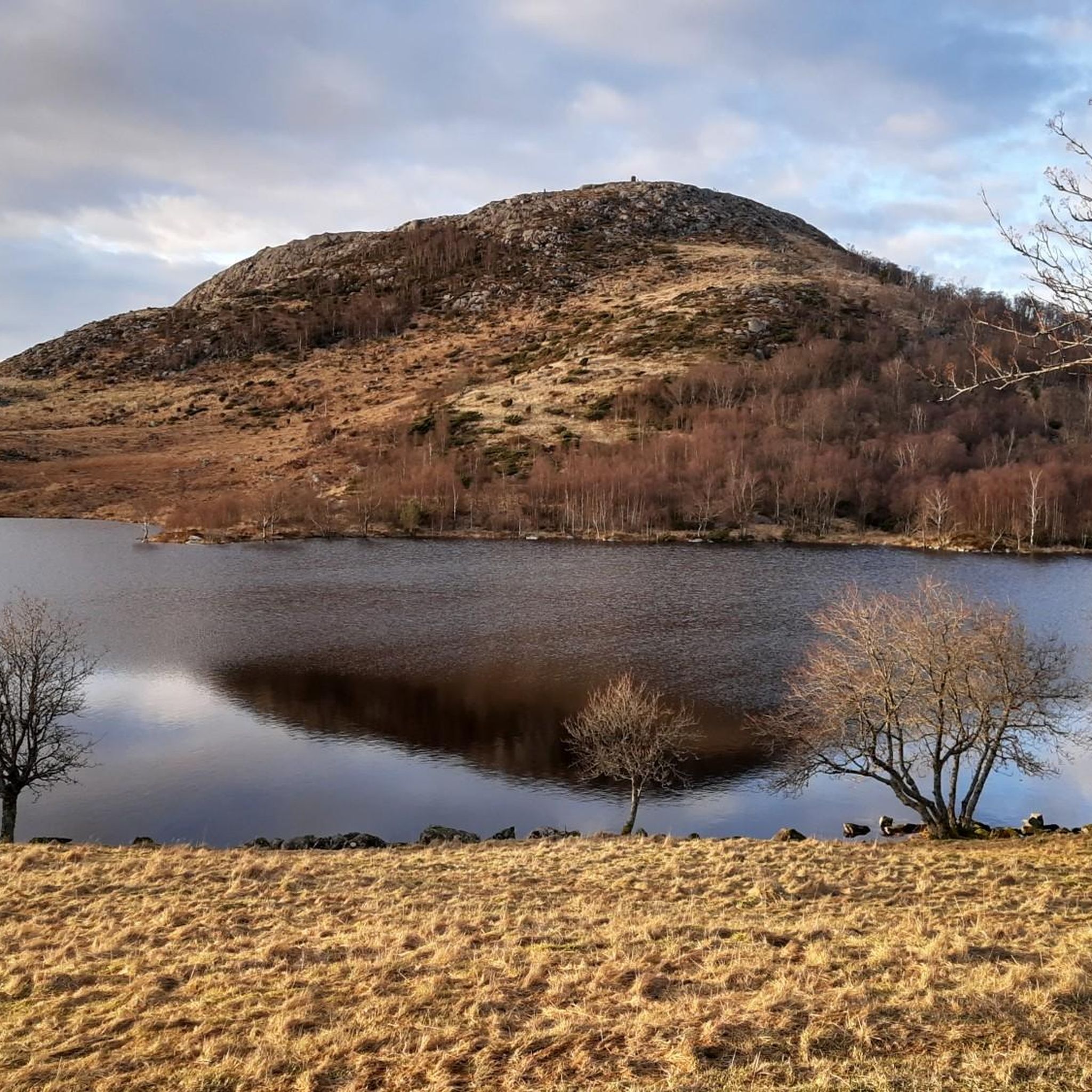
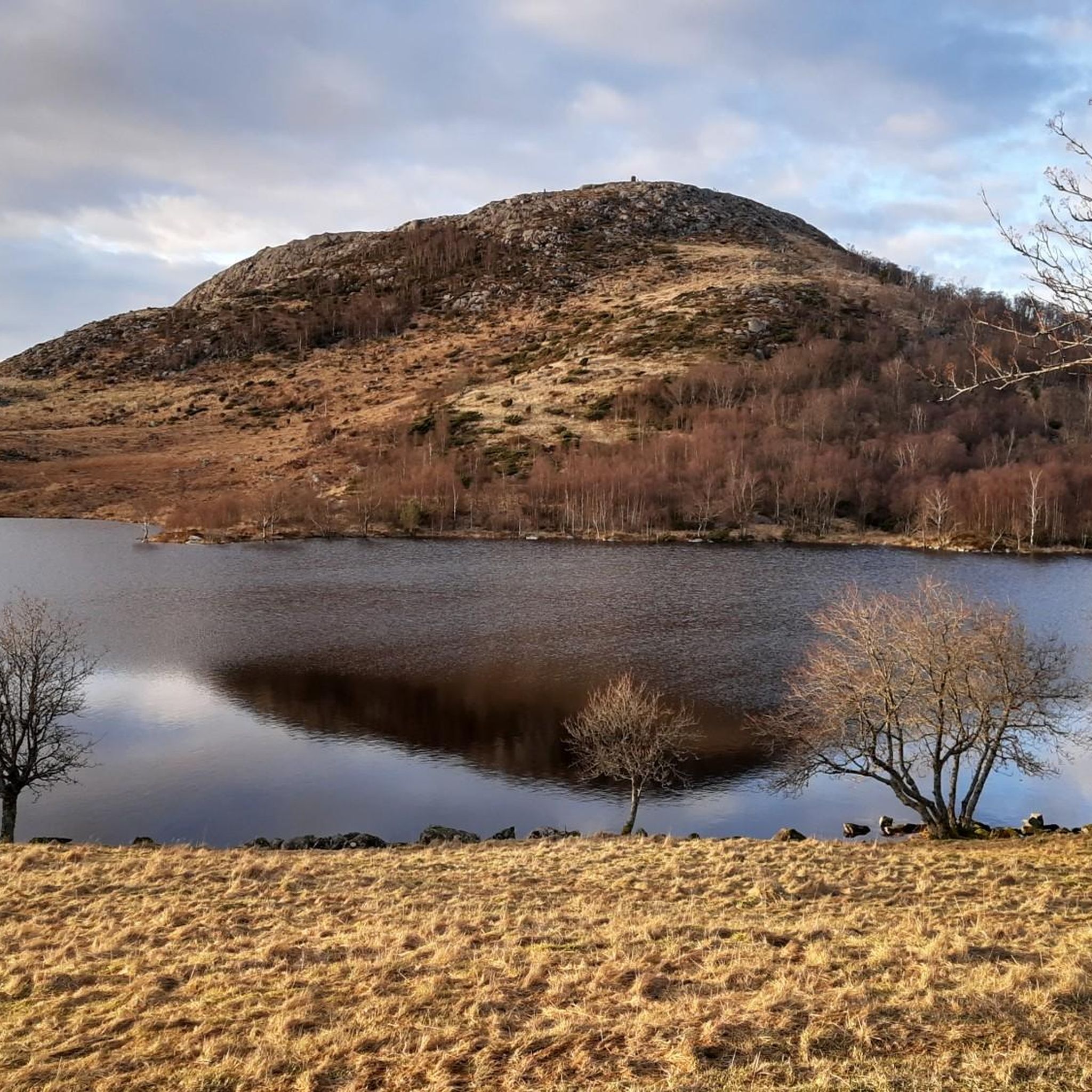
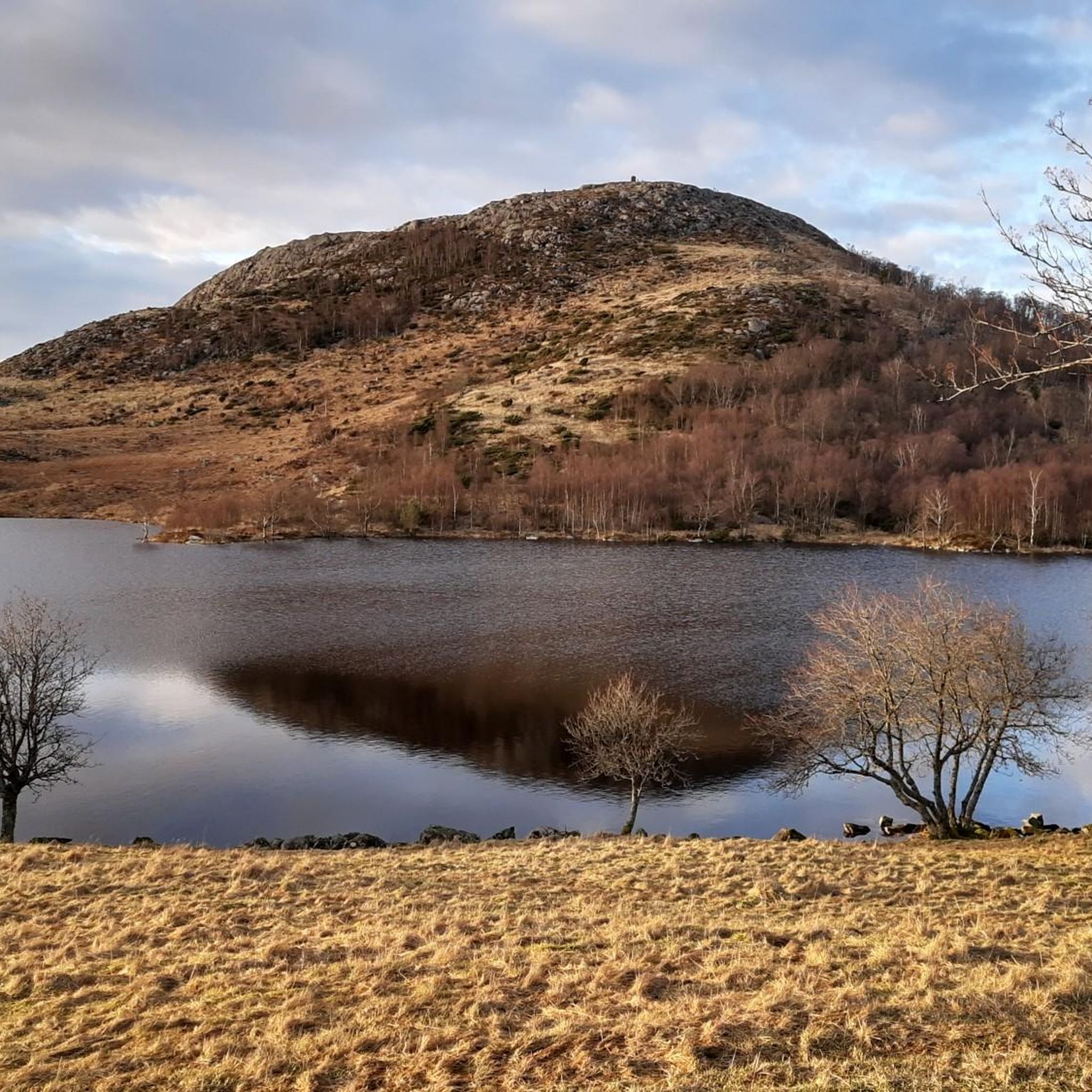
Beautiful small lake along your way up to the Dalsnuten. Take a picture or even a break in this nice spot.
1
1

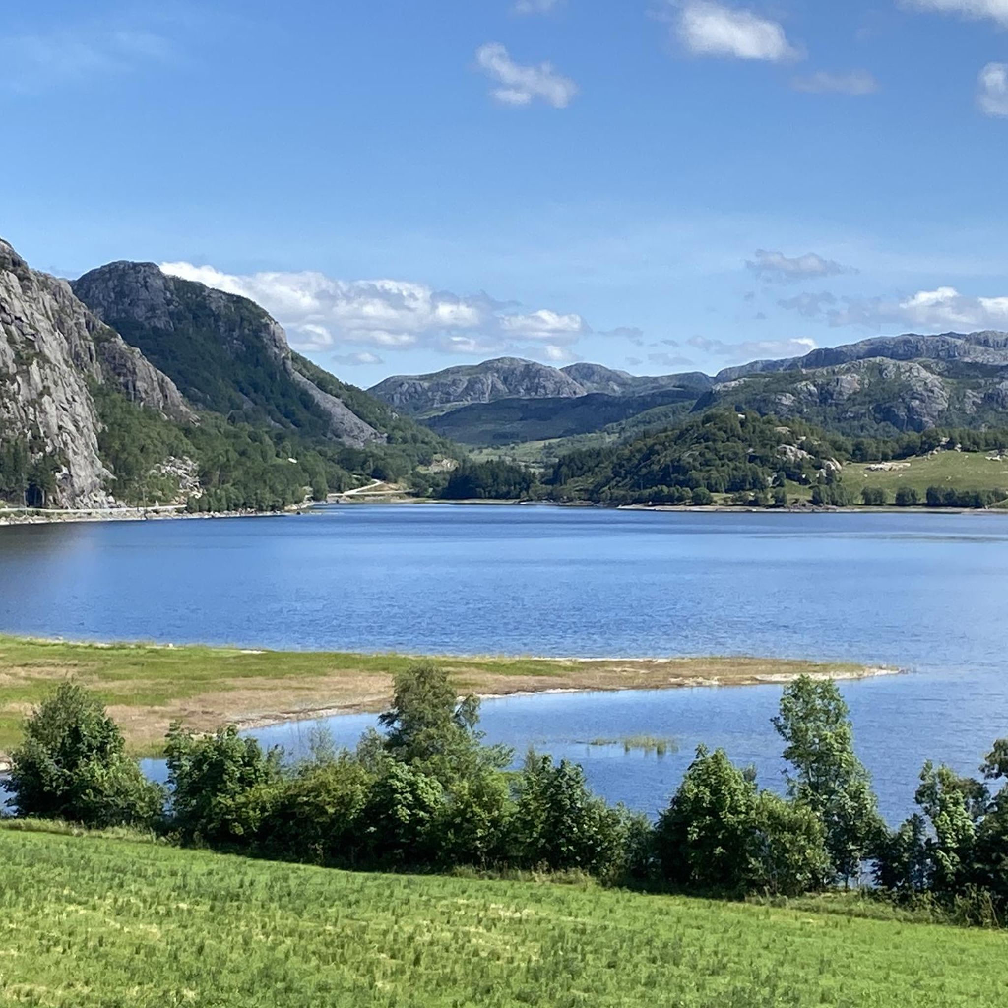
Great views of the Gandsfjord, the greater Stavanger area and the snow-capped mountains to the west. It is best to walk the summit circuit anti-clockwise, then you climb the steepest part of the route upwards.
2
0

Can be reached from Gramstad or Lutsivatn/paradisskaret. Recommend detours or round trips over Bjørndalsfjellet!
0
0
サンネスでのの人気観光スポット

komootモバイルアプリでインスピレーションを得よう


さらに探索
他の地域の最高のランニングトレイル & ルートを見てみましょう。
