ブルージュ周辺のアトラクション&必見スポット - トップ20
ブルージュには必見のスポットがたくさんあります。ハイキング愛好家やサイクリング愛好家の方は、ぜひブルージュを探索してこのエリアにある20
の隠れたスポットを訪れてみてください。このエリアの必見スポットを確認し、次の冒険に出かける計画を立てましょう。
最終更新日: 8月 30, 2026
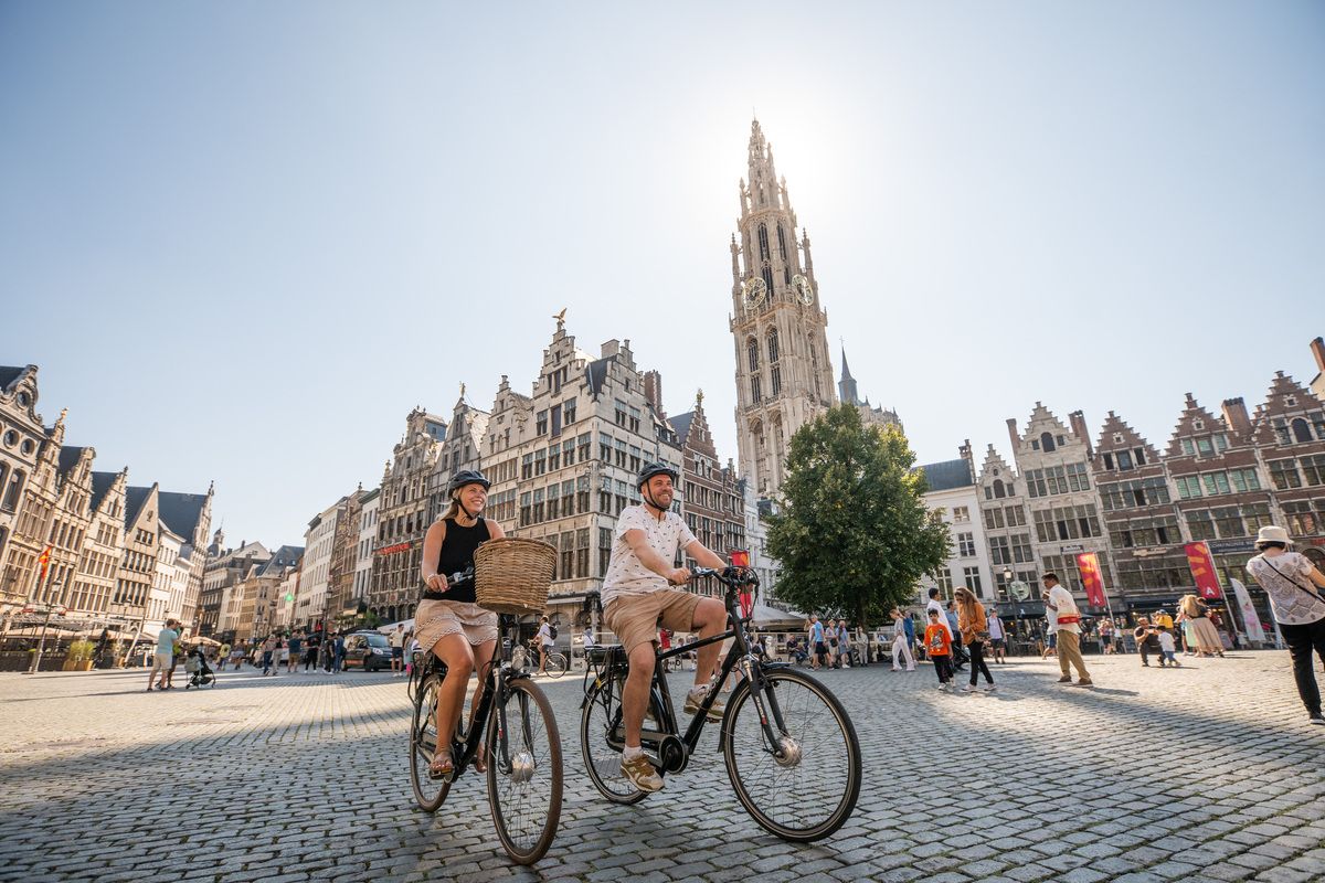
ブルージュのグロート・マルクト
ハイライト • 歴史的な場所
翻訳者 Google •
役立つ情報 は

ブルージュ市庁舎
ハイライト • 歴史的な場所
翻訳者 Google •
役立つ情報 は

今すぐサインアップして、こんな場所を発見しよう
最高のシングルトラック、ピーク、その他のエキサイティングなアウトドアスポットのおすすめを受け取ろう。
無料新規登録
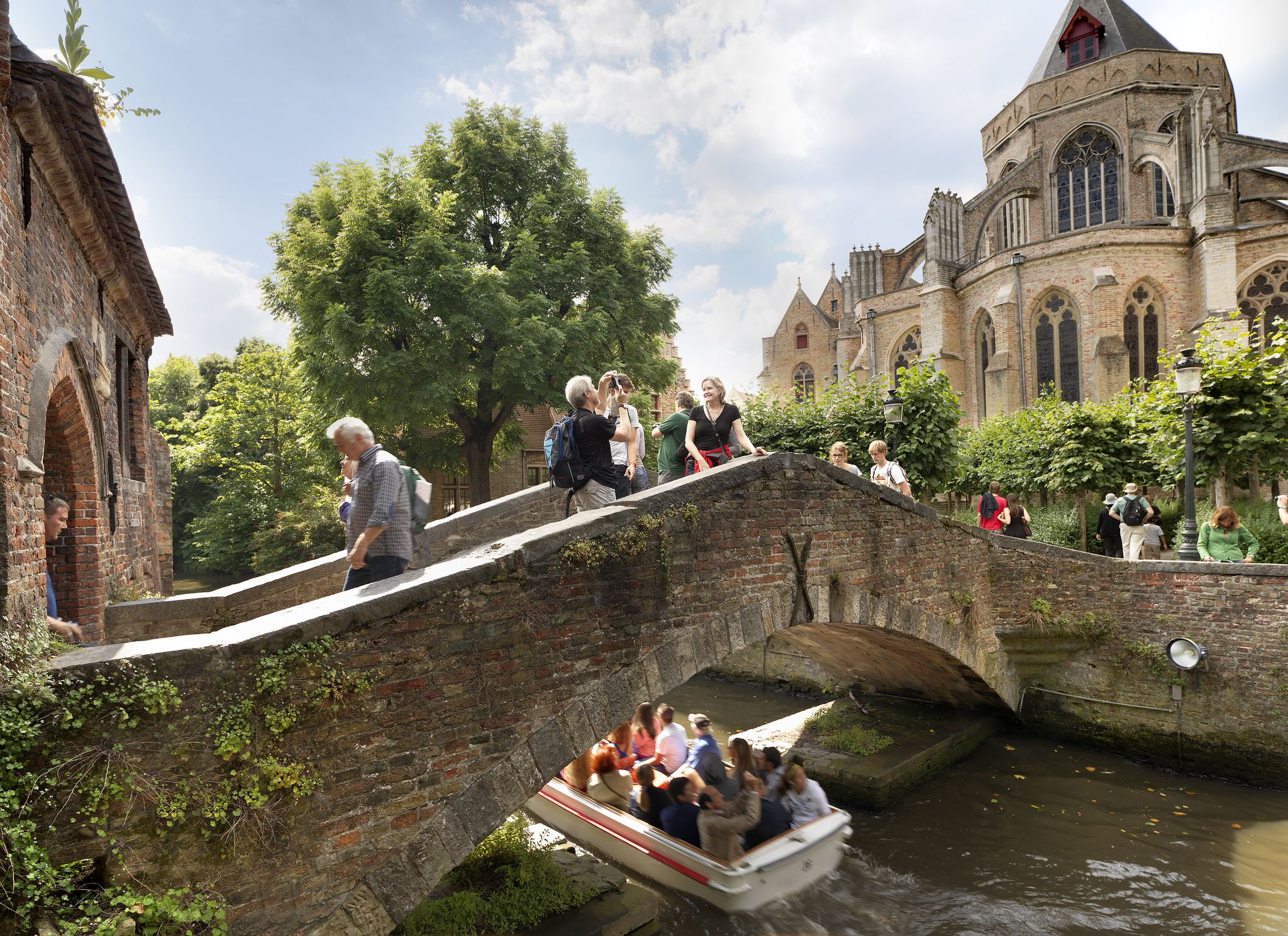
ボニファティウス橋
ハイライト • 橋
翻訳者 Google •
役立つ情報 は
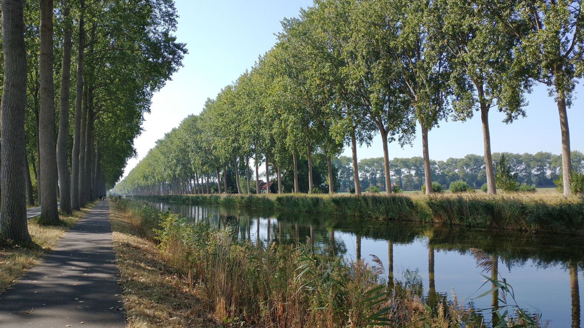
ブルージュ運河(ブルージュ・レイエン)
ハイライト • 川
翻訳者 Google •
役立つ情報 は
オウデ・シヴィール・グリフィー(旧市民登記所)
ハイライト • 歴史的な場所
翻訳者 Google •
役立つ情報 は
Schellemolen風車(ダンメ)
ハイライト • 記念碑
翻訳者 Google •
役立つ情報 は

ズウィン自然保護区
ハイライト • 自然記念物
翻訳者 Google •
役立つ情報 は

ヘット・ズウィン
ハイライト • 自然記念物
翻訳者 Google •
役立つ情報 は

ダンメ・タウン・センター
ハイライト • 集落
翻訳者 Google •
役立つ情報 は

ダムセ運河
ハイライト (セグメント) • 川
役立つ情報 は

無料でサインアップして、さらに多くの観光スポットを発見しましょう ブルージュでの。
無料新規登録
すでにアカウントをお持ちですか?
無料アカウントで今日から始めよう
次の冒険が待っています。
ログインまたは登録
ブルージュ周辺で人気
アムステルダムからロンドンまで、北海と水を通って
北海沿岸サイクルルート — オランダとベルギー
West-, Oost- と Zeeuws-Vlaanderen — Streek GR Uilenspiegel
ヴァン・デ・パンネからヘト・ズウィン – ストレーク GR クースト
Flanders' Finest Cycle Routes: routes around the Flemish art cities
海岸と運河 - フランダースとゼーランド・フランダースでの旅行
Belgium's best – the most beautiful hiking routes in Flanders
10,000 steps through Flanders' Art Cities
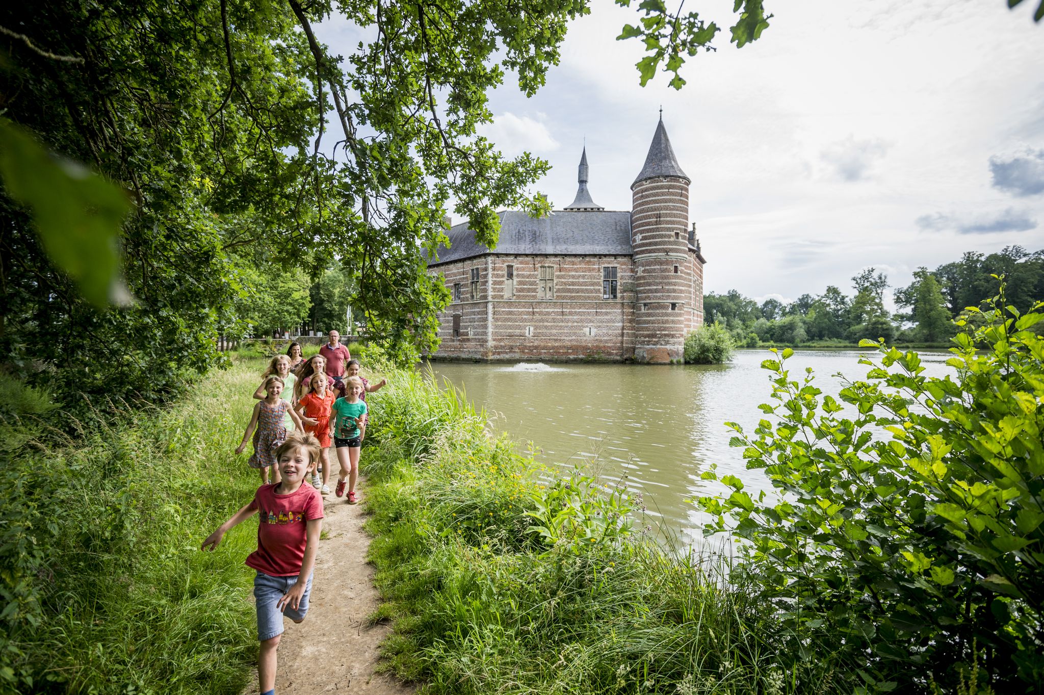
Time travel on foot — historical walks in Flanders
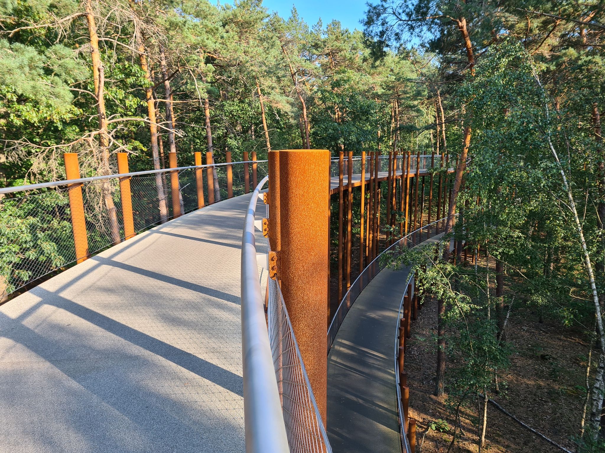
ベルギーで最も美しいサイクリングコースを楽しむ — 10個のベロールート
ブルージュでのの他の冒険


コミュニティからのヒント

Nice, quiet, early morning you may feel like you're alone in this world.
0
0

This beautiful building is a good example of Brabantine Gothic.
1
0

The Schellemolen is a stone windmill in Damme, Belgium. The white-painted mountain mill dates from 1867 and replaced an earlier standard mill. There has been a mill on this spot along the Damse Vaart since 1479. The mill is equipped with two pairs of stones and an oil mill in the basement. The mill operation was stopped in 1963, after which the Schellemolen fell into disrepair. In 1971 the province of West Flanders bought the mill and had it restored. In 1977 it was able to grind again. The mill can be visited every weekend from April 1 to September 20.
3
0

Windmills, just as you would imagine in this area.
6
1

One day at the beginning of the twentieth century, the then owner of the Arentshuis and the garden of the property were expropriated. The city council believed that the garden should be made public and that there should be a museum. In addition, there had to be a connection with the other part of the Arentshof. For this purpose, a simple bridge was built over the Reie in 1911, the Bonifacius Bridge. It became one of the most photogenic bridges in Bruges and much of the rest of the world. Who ever visited Bruges and didn't take pictures?
10
0
In the 13th and 14th centuries, this sea arm - ’t Zwyn - was an important waterway to Bruges. This waterway was created after the sea had penetrated the land around the beginning of the Christian era. The cities of Bruges, Damme and Sluis were located on the Zwin and became flourishing trading centres. But the channel became increasingly shallow and eventually unnavigable. That is why the Zwin was later largely poldered. Nature then took over here. Source: https://www.hetzeeuwselandschap.nl/natuurgebieden/het-zwin
6
0
The Zwin is a slufter: a beach plain behind the dunes that is in open connection with the sea. Directly behind the gully mouth lies a sandy beach, further inward lie dunes and salt marshes. Behind the row of dunes lie two small polders, which are managed by the Zeeuwse Landschap: the Kievittepolder and the Oudelandsepolder. In the Zwinweide, once a side channel of the Zwin, is a very varied area where fresh and salt alternate at a short distance. Thanks to the alternation between wet and dry, salt and fresh, and clay and sand, the entire area has a great variety in vegetation and birds. Source and all information for your visit to this Zeeland side of the Zwin at https://www.hetzeeuwselandschap.nl/natuurgebieden/het-zwin
6
0
ブルージュでのの人気観光スポット

komootモバイルアプリでインスピレーションを得よう


探していたものは見つかりませんでしたか?
近くの素晴らしい場所をもっと探索したいですか?ガイドを見てみましょう:
