エスタンピュイ周辺のアトラクション&必見スポット - トップ20
エスタンピュイには必見のスポットがたくさんあります。ハイキング愛好家やサイクリング愛好家の方は、ぜひエスタンピュイを探索してこのエリアにある20
の隠れたスポットを訪れてみてください。このエリアの必見スポットを確認し、次の冒険に出かける計画を立てましょう。
最終更新日: 10月 9, 2026
モン=サン=オベール
ハイライト • 山頂
翻訳者 Google •
役立つ情報 は

シント・ピーテルスブルッヘ
ハイライト • 橋
翻訳者 Google •
役立つ情報 は

今すぐサインアップして、こんな場所を発見しよう
最高のシングルトラック、ピーク、その他のエキサイティングなアウトドアスポットのおすすめを受け取ろう。
ルーベ・ヴェロドローム
ハイライト • 記念碑
翻訳者 Google •
役立つ情報 は

ルーベ運河のベルギー・フランス国境
ハイライト • 記念碑
翻訳者 Google •
役立つ情報 は
アウトリーヴのスヘルデ川沿いの道
ハイライト (セグメント) • サイクリングロード
翻訳者 Google •
役立つ情報 は

無料でサインアップして、さらに多くの観光スポットを発見しましょう エスタンピュイでの。
すでにアカウントをお持ちですか?
無料アカウントで今日から始めよう
次の冒険が待っています。

コミュニティからのヒント

Sint-Pietersbrugjeは1892年に建てられました。2019年から2020年にかけて、非常に徹底的な修復が行われ、工房に運んで慎重に洗浄およびサンドブラスト処理を行うために分解する必要がありました。さらに、一部の部品は交換され、手作業でリベット留めされました。構造全体には1,000個以上のリベットが使用されています。最後に、橋は目立つブルンスウィックグリーン、つまり橋の元の色で保護塗装が施されました。 出典: vlaamsewaterweg.be
3
0
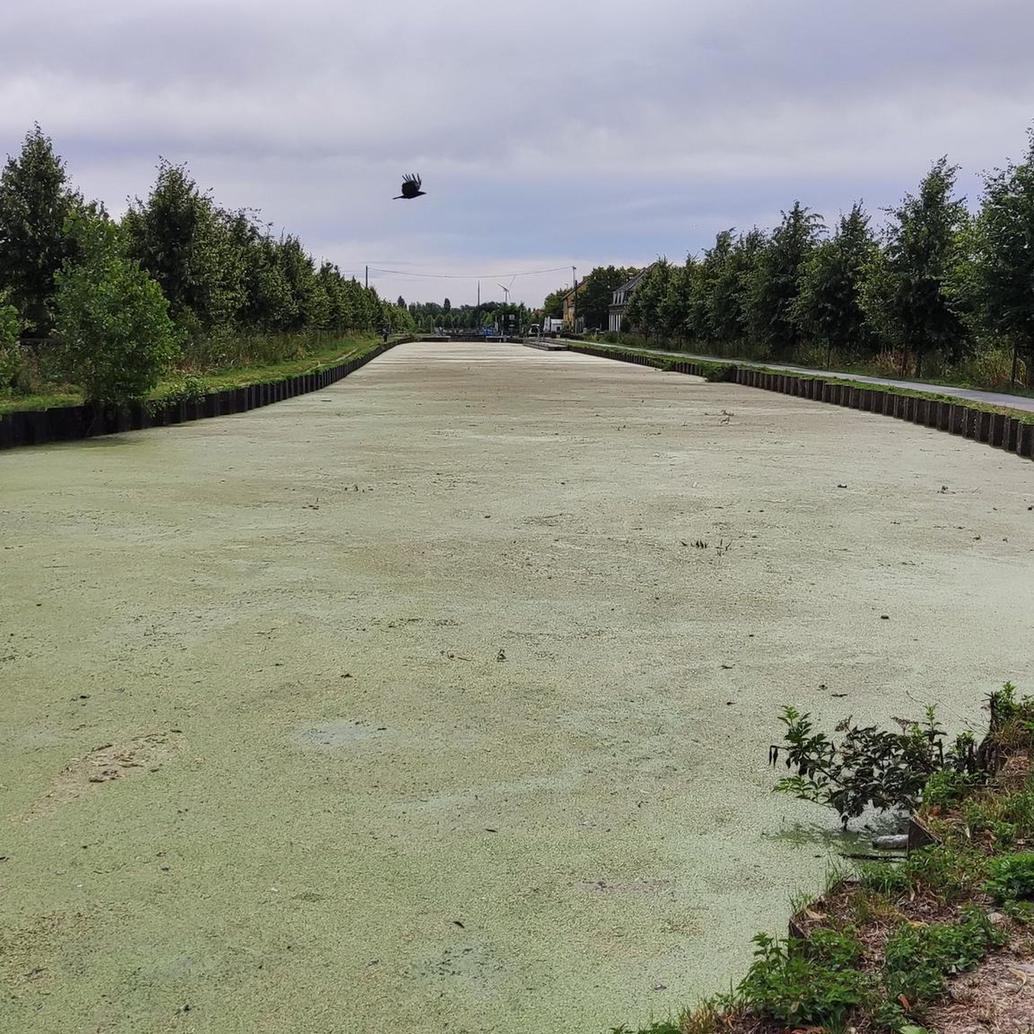
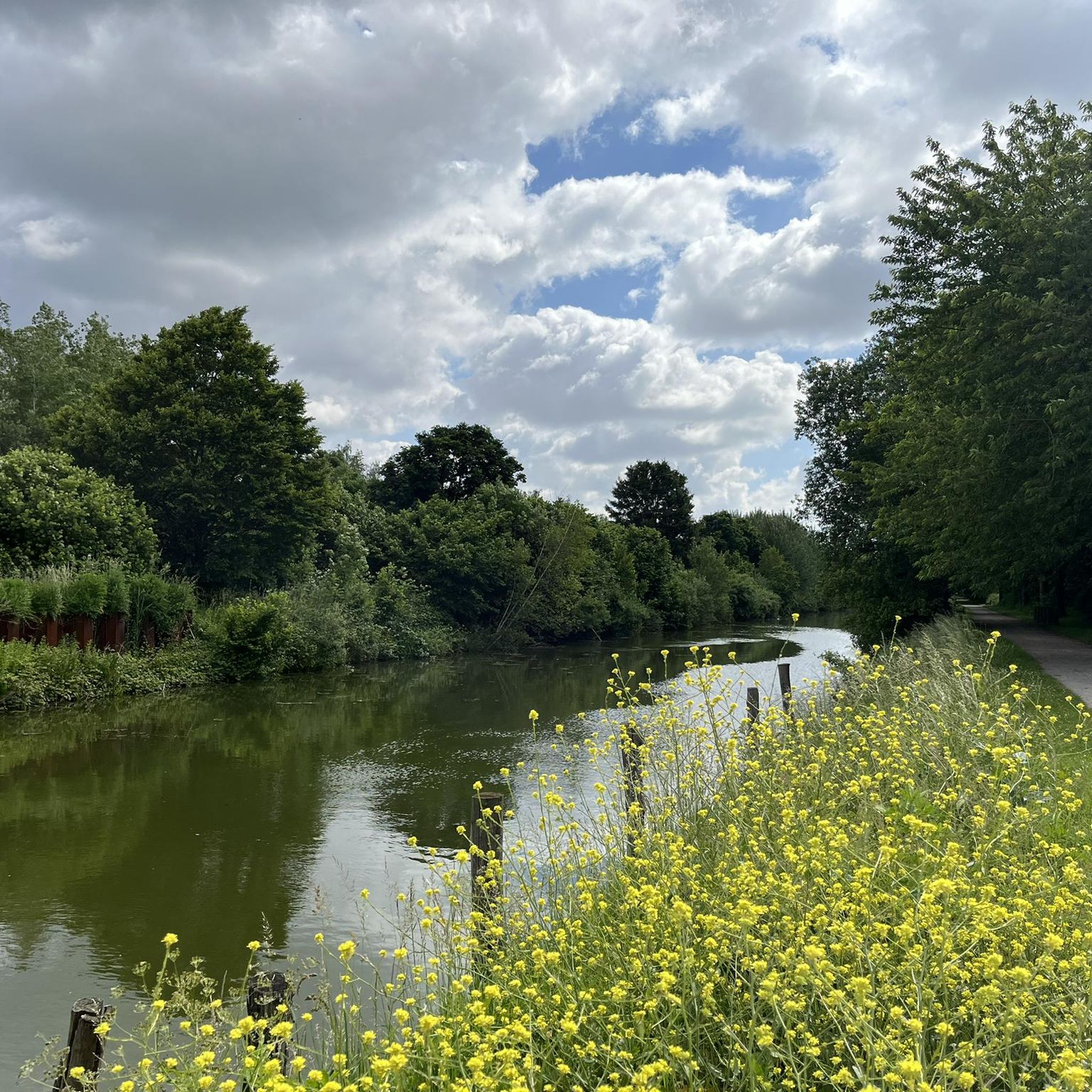
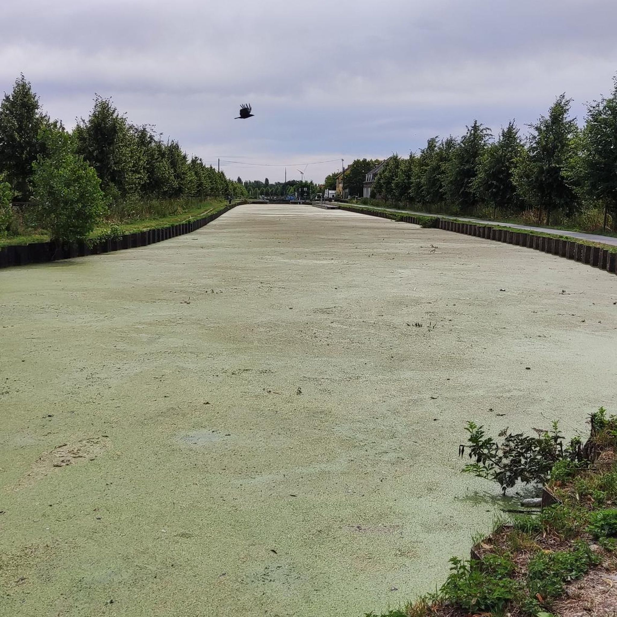
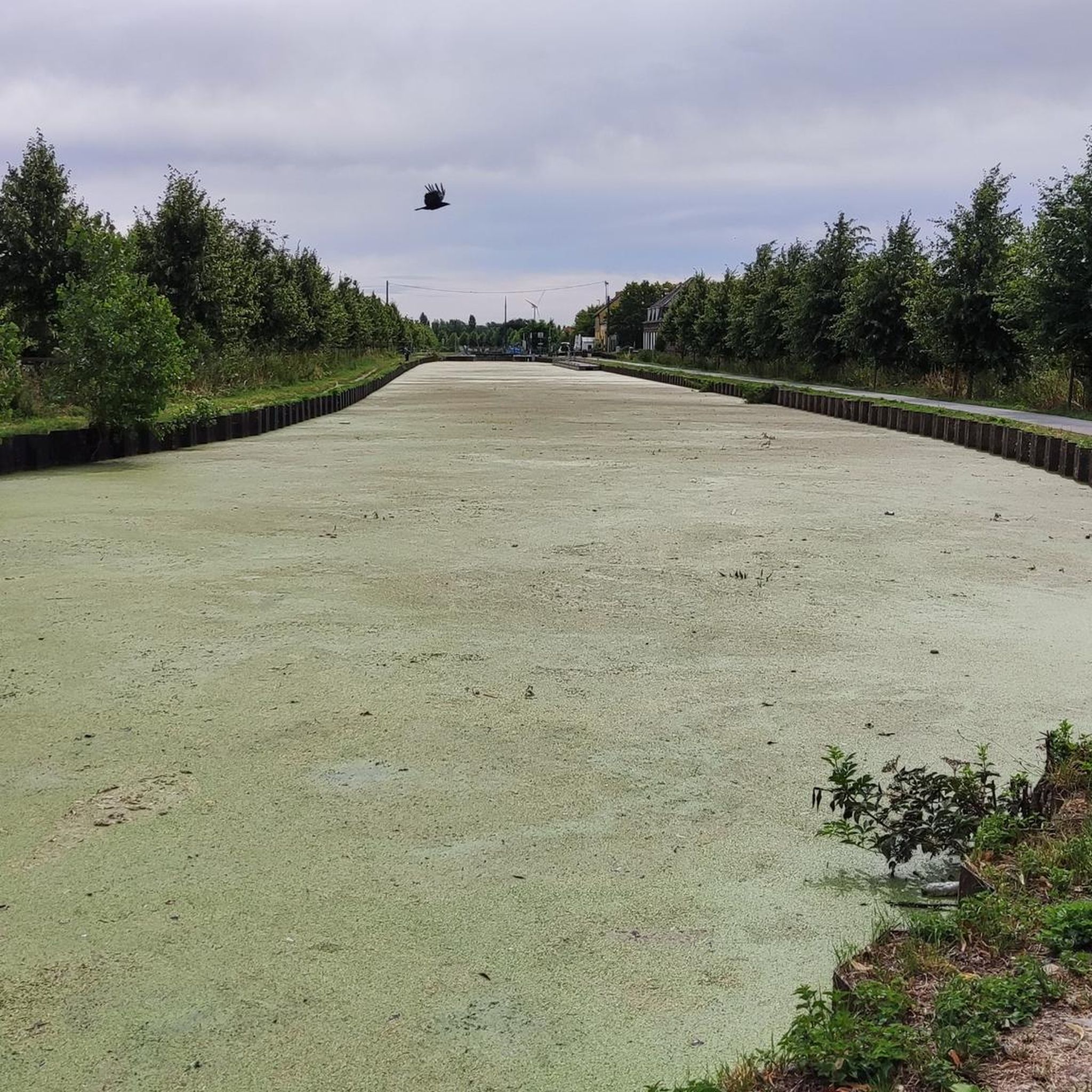
The Roubaix Canal, or the Espierres Canal, as it's called in French or Belgian, forms part of the link between the Deûle River in France and the Scheldt River in Belgium. In 1843, the two canals were connected between Leers, France, and Leers-Nord, Belgium. Despite damage sustained during the two world wars, the canal was the pinnacle of the region's textile industry for over a hundred years, transporting coal from Belgium to numerous French factories. In Leers-Nord, Belgium, the workers who pulled the coal-laden barges were called "satcheux" (sailors). Next to the lock keeper's house, a stone's throw from France, the crossing point between France and Belgium, a customs guardhouse was built. Customs officers were present to inspect the numerous goods transported by barge. After the decline of the textile industry in the 1970s and 1980s, the canal gradually lost its usefulness and was closed to shipping in 1983. In the early 2000s, the canal was the subject of a cross-border rehabilitation project to allow tourist boats to pass through again. As part of the Interreg Blue Links project, a collaboration between France, Flanders, and Wallonia, it was flooded again. The final works were completed in 2011, and navigation reopened. Since the early 20th century, the Roubaix/Espierres Canal has been a place of conviviality, walking, and fishing for cross-border residents and commuters. Consequently, strong public opposition has arisen to the plan to convert the canal into a motorway. Source: www.caue-nord.com
3
0


Beautiful old drawbridge. Very nostalgic.🥰
2
0

The Sint-Pietersbrug on the old arm of the Bossuit-Kortrijk canal is one of the most beautiful spots in Zwevegem. The bridge dates from 1892 and is a protected monument. It is a rare example of an iron lifting bridge with an open truss construction that was once operated manually.
10
0


For a cycling tourist, the arrival at the Roubaix velodrome is also a great moment. Even after dozens of times!
5
0
For the legend this race is, and how normal in fact the velodrome is...
4
0
エスタンピュイでのの人気観光スポット

komootモバイルアプリでインスピレーションを得よう


さらに探索
まだ探しているハイライトが見つかりませんか?他の地域のトップアトラクションのガイドを見てみましょう:
