ヘイレンのおすすめウォーキング&ハイキングルート
4.4
(901)
4,677
ハイカー
162
ハイキング
Halen周辺のハイキングは、緩やかな起伏、自然保護区、そして小川や谷などの水辺が特徴的な景観を特徴としています。この地域は、製粉所や空洞の道を含む、自然環境と歴史的要素が融合しています。トレイルは、Webbekoms Broek自然保護区のようなエリアを通り抜け、Black Brook(黒い小川)に沿って進むことがよくあります。地形は一般的にアクセスしやすく、単一ルートでの最大の標高差は約148メートルです。
Halen周辺のベストハイキングトレイル
- 最も人気のあるハイキングルートは、ゼレム発リンデンミル、ディエスト – ウェブベコムス・ブルーク自然保護区ループで、所要時間2時間50分の6.9マイル(11.2 km)のトレイルです。この適度な難易度のルートは、自然保護区を探索し、歴史的な製粉所のそばを通ります。
- 地元のハイカーに人気のもう一つのルートは、Natuurreservaat De Schurfert - Lange Beemden発ブラックブルック – ロボス・マナー・ファームループで、適度な難易度の6.4マイル(10.3 km)のパスです。このトレイルはBlack Brookに沿って進み、Lobos Manor Farmを通過します。
- 地元のハイカーに愛されているのは、ハーレン発ミリタリー・セメタリー1914–18 – ロテム・ミルループで、歴史的な場所を通り抜け、Rotem Millのそばを通る5.8マイル(9.4 km)のトレイルで、所要時間は約2時間24分です。
- Halen周辺のハイキングは、自然保護区、小川、谷、そして空洞の道によって特徴づけられます。このネットワークは、簡単なルート、適度な難易度のルート、そしてより挑戦的なルートのオプションを提供します。
- Halenのルートは、komootコミュニティから高く評価されており、700件以上のレビューから平均4.4つ星を獲得しています。4000人以上のハイカーがkomootを利用して、Halenの多様な地形を探索しています。
最終更新日: 9月 8, 2026
4.6
(169)
770
ハイカー
11.2km
02:50
30m
30m
中程度のハイキング. ある程度のフィットネスレベルが必要です。 進みやすいルートです。あらゆるスキルレベルに適しています。
4.6
(127)
648
ハイカー
中程度のハイキング. ある程度のフィットネスレベルが必要です。 進みやすいルートです。あらゆるスキルレベルに適しています。

4.3
(36)
145
ハイカー
9.40km
02:24
30m
30m
中程度のハイキング. ある程度のフィットネスレベルが必要です。 進みやすいルートです。あらゆるスキルレベルに適しています。
4.5
(25)
123
ハイカー
難しいハイキング. 標準以上のフィットネスレベルが必要です。 進みやすいルートです。あらゆるスキルレベルに適しています。
4.6
(11)
93
ハイカー
6.52km
01:42
40m
40m
初級者向けハイキング. あらゆるフィットネスレベルに適しています。 進みやすいルートです。あらゆるスキルレベルに適しています。
さらに多くのルートや他のユーザーのおすすめ情報を確認できます。
すでにアカウントをお持ちですか?
おすすめのツアーは他のkomootユーザーが実際に経験した何千ものアクティビティに基づいています。
無料アカウントで今日から始めよう
次の冒険が待っています。

コミュニティからのヒント


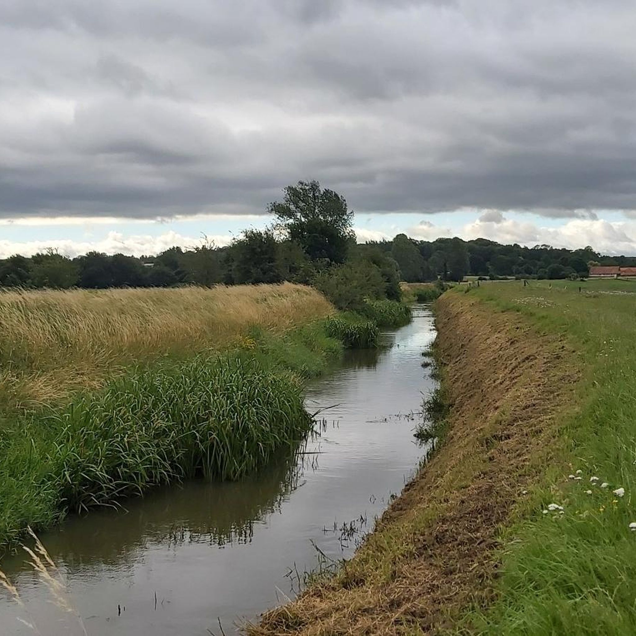
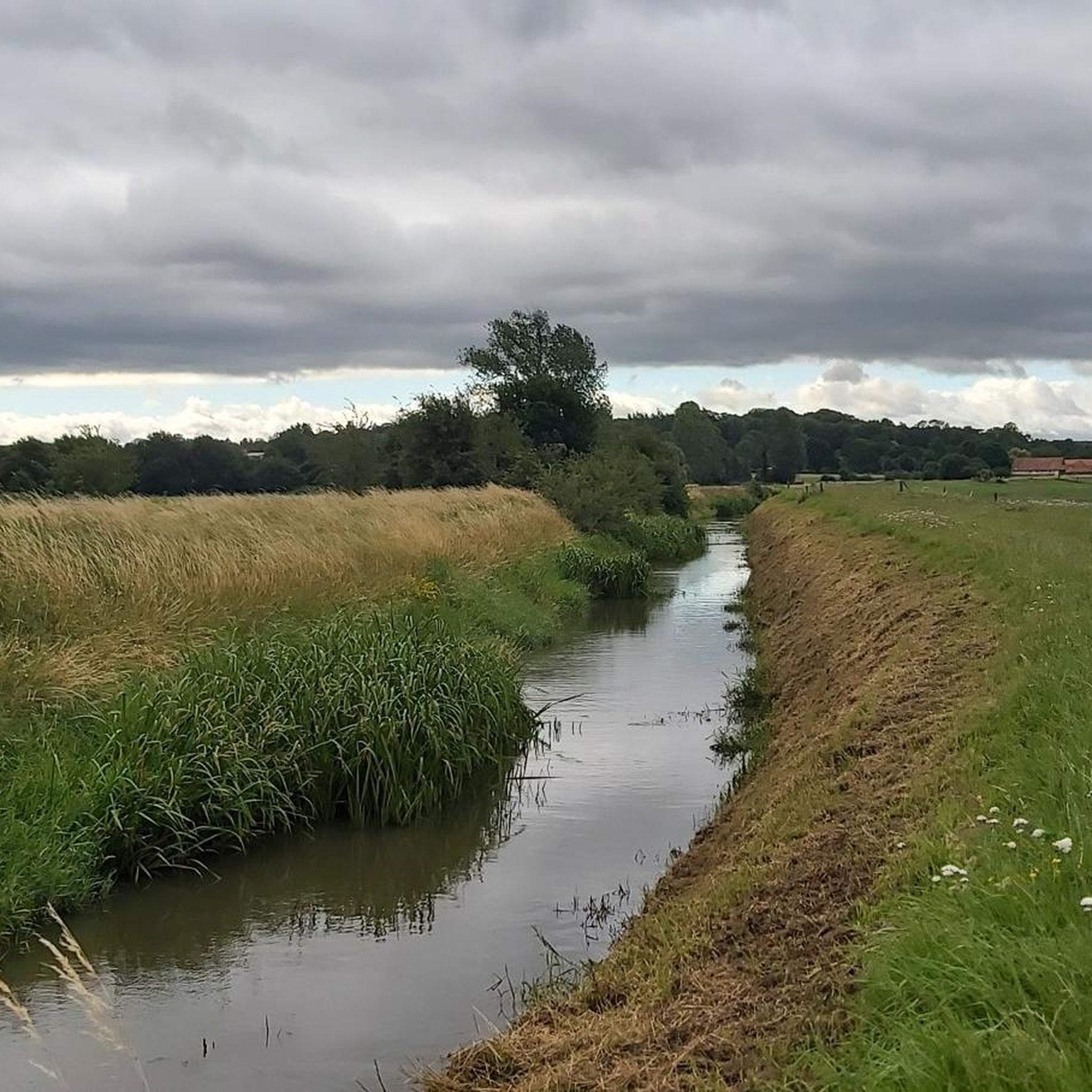
Zwart Water(デメル渓谷の湿地帯の人工排水路)にかかるこの歩道橋は、現在、自然保護区Webbekoms Broekのフラマン・ブラバント側とリンブルフ側を結んでいます。この橋のおかげで、ハイカーは現在、Webbekoms Broekを横断する9キロメートル以上の周回コースをたどることができます。
2
0
Halve Maanの入り口の向かいには、古い風車であるLindenmolenが立っています。以前はAssentとSchaffenのDoodsbergで挽いていました。最後の世代の粉屋がこの風車をDiest市に寄贈し、それ以来ここに飾られています。
3
0
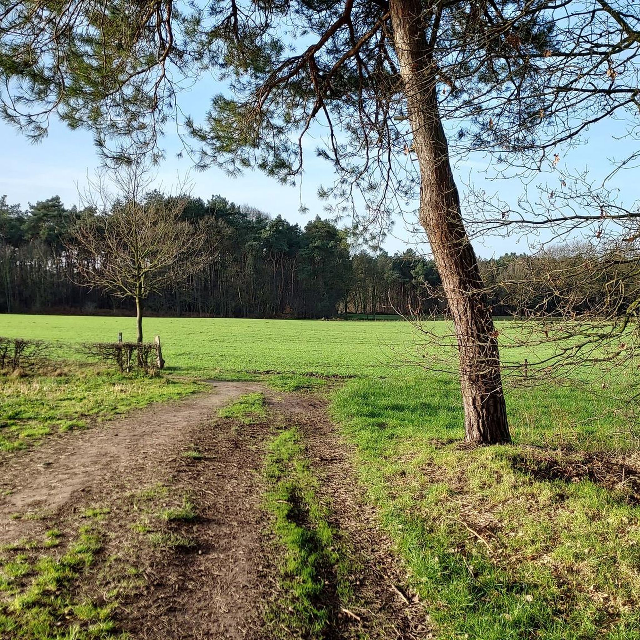
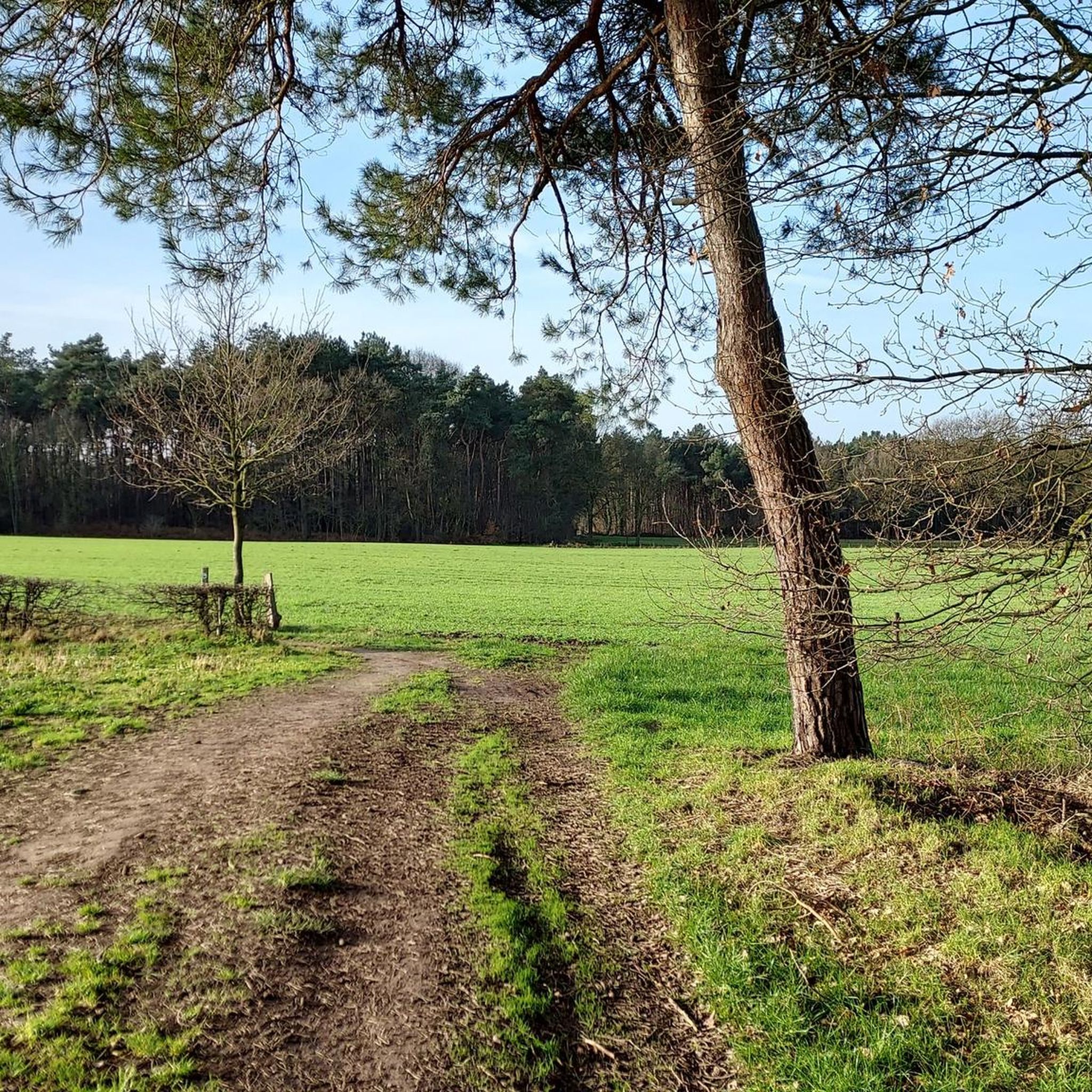
現在地は数年前に森林化されたかつてのトウモロコシ畑です。その右側には、リンブルフで最も古い高木果樹園の一つが立っています。すぐ近くからは、先史時代と中世の両方の遺物が発見されています。
3
0

komootモバイルアプリでインスピレーションを得よう


さらに探索
他の地域の最高のハイキングを見てみましょう。
