コルテナーケンのおすすめライド
3.9
(5)
509
ライダー
50
ライド
コルテナーケン周辺のロードバイクルートをお探しですか?ここでは、komootが提供するコルテナーケンでのロードバイクライドのコレクション全体を評価して選び抜いた人気ルートをご紹介します。各ライドの詳細をぜひご覧ください。
最終更新日: 10月 8, 2026
4.5
(2)
46
ライダー
45.0km
02:33
200m
200m
中程度のロードライド. ある程度のフィットネスレベルが必要です。 ツアーの一部に、未舗装のため走行が難しい箇所があるかもしれません。
4.0
(1)
41
ライダー
59.2km
03:07
340m
340m
中程度のロードライド. ある程度のフィットネスレベルが必要です。 ツアーの一部に、未舗装のため走行が難しい箇所があるかもしれません。

38
ライダー
58.8km
02:37
200m
200m
中程度のロードライド. ある程度のフィットネスレベルが必要です。 ツアーの一部に、未舗装のため走行が難しい箇所があるかもしれません。
23
ライダー
52.2km
02:50
320m
320m
中程度のロードライド. ある程度のフィットネスレベルが必要です。 ツアーの一部に、未舗装のため走行が難しい箇所があるかもしれません。
33
ライダー
67.0km
03:12
370m
370m
中程度のロードライド. ある程度のフィットネスレベルが必要です。 全般的に舗装状態が良好で走行しやすい道です。
さらに多くのルートや他のユーザーのおすすめ情報を確認できます。
すでにアカウントをお持ちですか?
おすすめのツアーは他のkomootユーザーが実際に経験した何千ものアクティビティに基づいています。
無料アカウントで今日から始めよう
次の冒険が待っています。
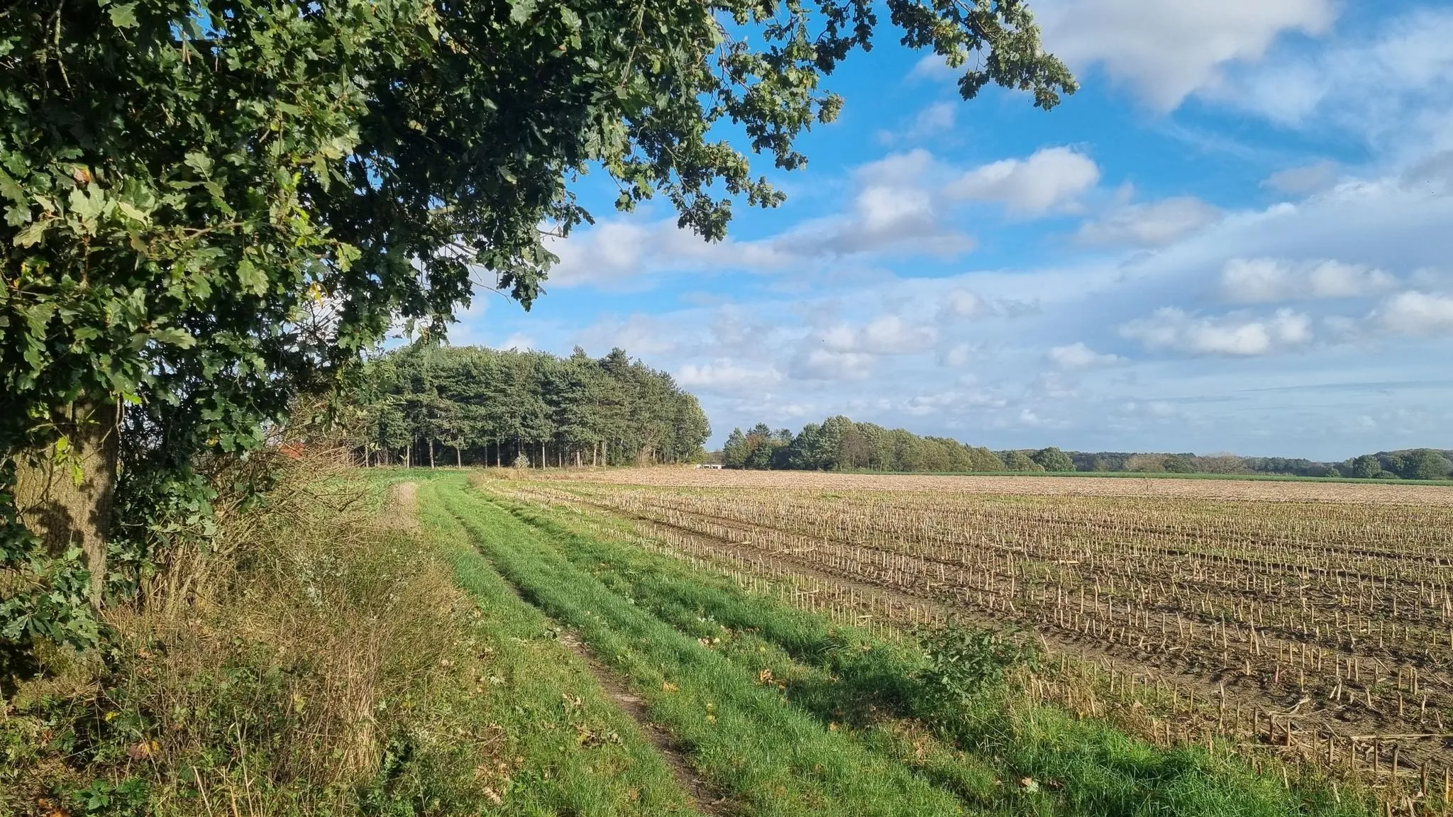
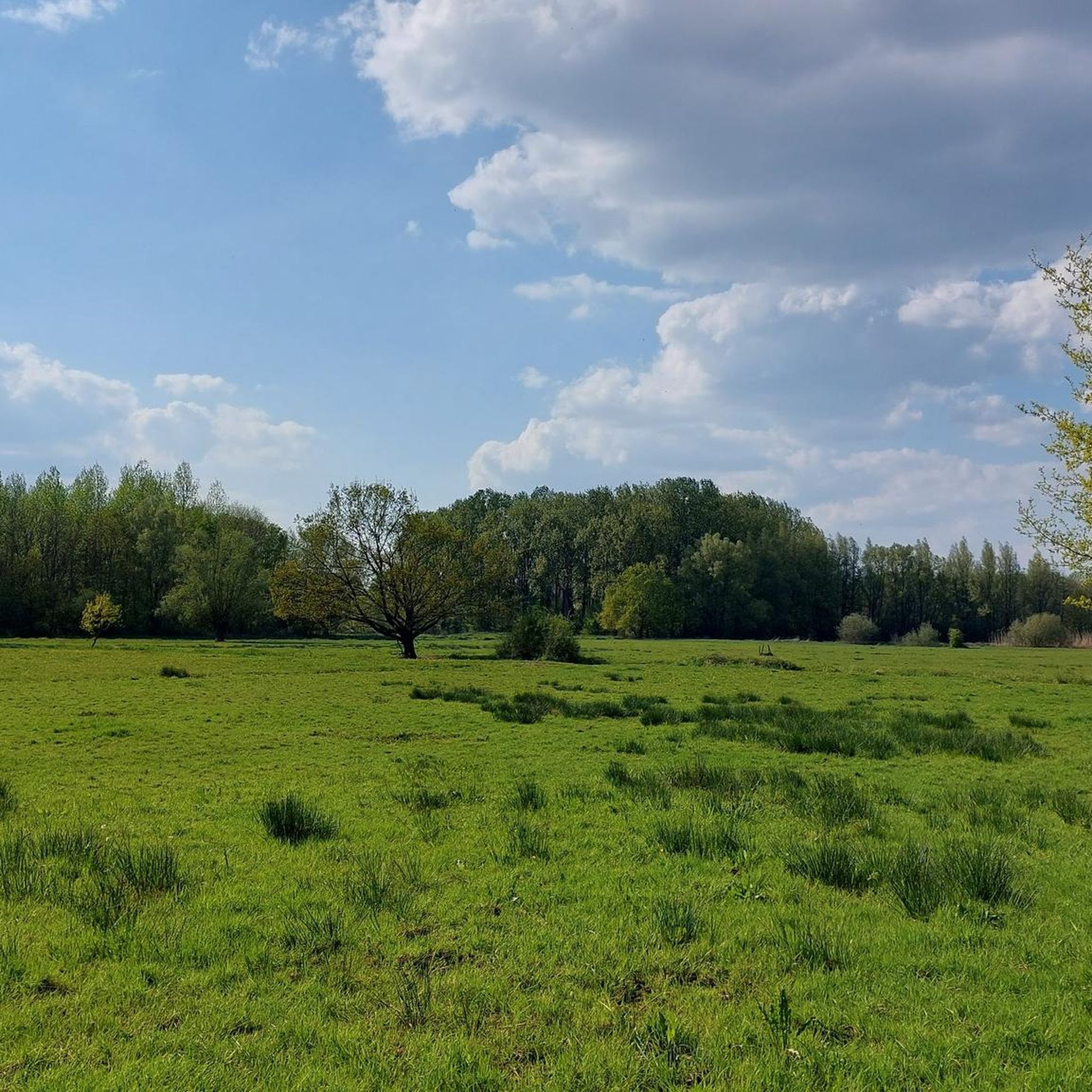
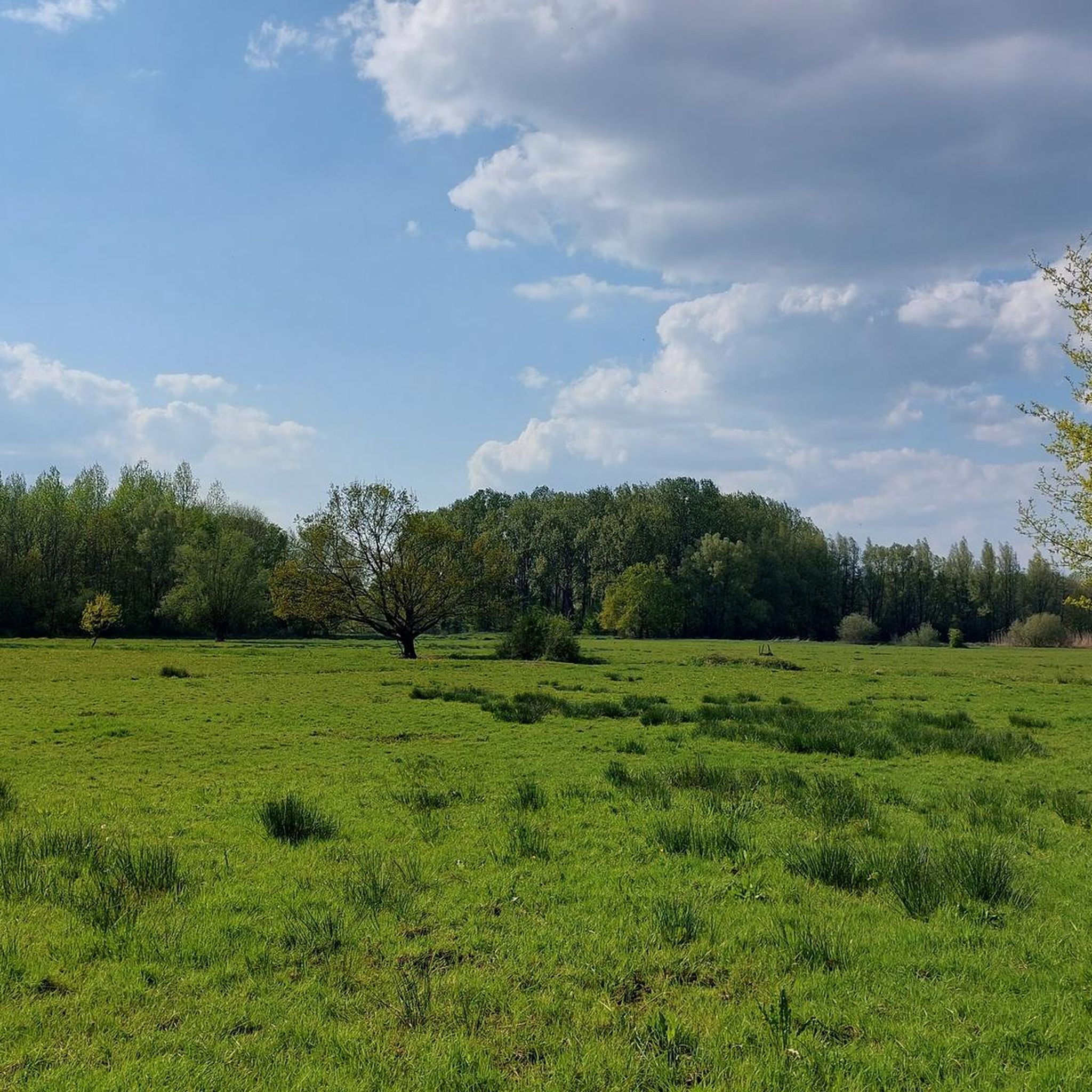
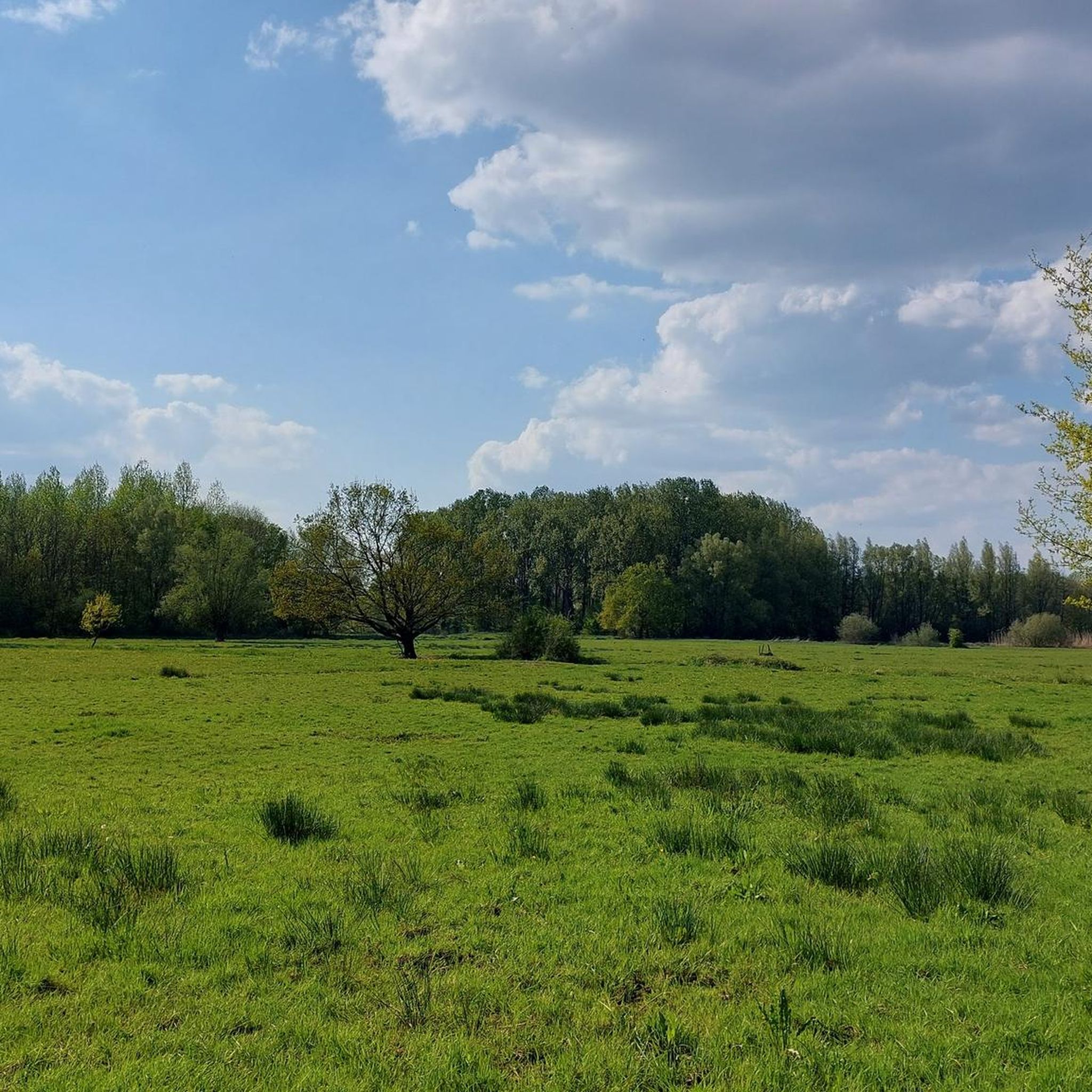

コミュニティからのヒント


ほとんどの礼拝堂は、そのために建てられた聖者にちなんで名付けられていますが、ベタニア礼拝堂は地名にちなんで名付けられています。聖書の場所であるベタニアは、マリア・マグダレナの生誕地であるとされており、彼女はズートレーウのベタニア修道院の守護聖人であり、その彼女を称えて礼拝堂が建てられました。元の聖母像は失われ、ペルヴワザンの聖母像に置き換えられました。
3
0
ウェッベクムス・ブルークは、フランデレン自然保護区ウェッベクムスブルーク=ボルヒベムデンの一部であり、フランデレン自然・森林庁が管理する397ヘクタールの連続した地域です。これには、ディエステルス・ブルーク、シャッフェンス・ブルーク、そしてボルヒベムデン:ローツブルーク、ゴレンブルーク、シント=ヤンスベルクも含まれます。 この地域にはいくつかの河川が流れています。その中で最も重要なのはデメル川です。その他には、主にその支流であるズワルテ・ベーク川、ヘーテ・レイフラフト川、そしてレイフラフト川があります。 デメル渓谷は何世紀にもわたって洪水に見舞われてきました。最近の歴史で最も深刻な洪水は1998年に発生しました。2008年にもディエストで深刻な洪水がありました。 深刻な水害を防ぐために、調整池と遊水地が設置されました。ウェッベクムス・ブルークとその周辺は遊水地です。1998年9月、ウェッベクムス・ブルークに面積144ヘクタールの調整池が稼働を開始しました。この地域は350万立方メートルの水を貯めることができます。内側の盆地と外側の盆地があります。内側の盆地は堤防に囲まれています。残りの部分が外側の盆地を形成しており、主に自然保護区として機能しています。
4
0

Pleasant gravel path where you can enjoy the Tienbunders nature reserve. Slow down and savor the unique forest and farmland.
5
0
On the spot where, according to legend, a statue of Our Lady, plowed out by a team of oxen, hung against an oak tree, a late Gothic chapel was built in 1538, which quickly became a place of pilgrimage. The chapel's interior also pleasantly surprises visitors. The rood screen is decorated with a beautiful apostle pew from 1613, probably from the Clerk's Chapel. Pilgrims used to offer a kilo of salt here to prevent children from bedwetting. Even today, the chapel attracts many visitors and, thanks in part to the procession, the May pilgrimage, and the candlelight procession, remains a center of religious life. It is open daily. On Sunday, September 8th, or the following Sunday, there is the annual rosary procession around the chapel to commemorate its dedication. This procession features a modern depiction of the mysteries of the Rosary, which also includes the Seven Sorrows of Our Lady. At the beginning of the procession, a farmer walks with an old plow. This refers to the legend that a farmer in the early sixteenth century allegedly found the statue of the Virgin Mary while plowing. The chapel on Ossenweg is said to have been built later in this neighborhood. The statue of Our Lady of Ossenweg is also carried in the procession. Source: https://www.zoutleeuw.be/kapel-van-de-ossenweg
4
0

Vlierbeek Abbey is located northeast of Leuven. To the south, it borders the Negenbunders and the Molenbeek valley, which, until the first half of the 20th century, connected to the then-existing part of the Lovenarenbroek. The avenues, the abbey site, and the surrounding fields have largely been preserved over the past two centuries. The priory was founded by the Benedictines of Affligem in 1127. The first monastic buildings were erected from 1158 onwards, and the first church was built in 1170. During the Wars of Religion, the abbey was destroyed. Reconstruction did not begin until 1642. A second building campaign began in 1776, during which only the church and the abbot's quarters were completed. The ruins of the original church tower still exist. The abbey was dissolved in 1796, but thanks to the Concordat, the first monks were able to return in 1801. In 1829, Vlierbeek became an independent parish. The abbey church is a defining feature: a remarkably homogeneous building in the Classical style, a series of geometric volumes devoid of any ornamentation. Adjacent to the church is the cemetery, which is still in use. In the garden adjacent to the church, we still find remains of the cloister, rebuilt in the 17th century. The old abbot's quarters date from the 16th century but have been renovated several times. In the vegetable garden, a 17th-century gazebo with a rococo stucco ceiling still stands, used as a chapel since 1963. Several outbuildings adjacent to the western enclosure wall were converted into private residences in the 19th century. The 18th-century carriage house was also converted into a residence. Farmhouse buildings from the 17th century stand against the northern fence, which originally housed a bakery and brewery. The 17th-century northern gate was originally equipped with a drawbridge, the ironwork of which has been preserved. The western gate with the gatehouse dates from the 16th century. Behind the farm, traces of the Baroque garden and its associated canal system can still be seen. The plot of the former 17th-century parterre garden is still recognizable. Also worth mentioning are the garden belonging to the rectory and the garden near the former coach house, as well as remnants of the 18th-century moated island garden in the northeast corner, remnants of hedges, the old cloister, and the vegetable garden. Inventory of Immovable Heritage: Vlierbeek Abbey Domain, https://id.erfgoed.net/erfgoedobjecten/135101
5
0
コルテナーケンでのの人気観光スポット

komootモバイルアプリでインスピレーションを得よう


さらに探索
他の地域の最高のロードサイクリングルートを見てみましょう。
