ハンメのおすすめMTBライド
4.1
(636)
7,315
ライダー
18
ライド
ハンメ周辺には魅力的なマウンテンバイクルートがいくつもありますが、冒険を始めるにはその場所とルートを把握する必要があります。ここでは、komootが提供するハンメ周辺でのマウンテンバイクルートのコレクション全体を評価して選び抜いた、人気ルートをご紹介します。各ライドの詳細をぜひご覧ください。
最終更新日: 10月 9, 2026
4.6
(63)
683
ライダー
46.4km
03:04
170m
170m
中程度のマウンテンバイクライド. ある程度のフィットネスレベルが必要です。 高度なライディングスキルが必要です。
37
ライダー
42.4km
02:43
50m
50m
中程度のマウンテンバイクライド. ある程度のフィットネスレベルが必要です。 高度なライディングスキルが必要です。

5.0
(2)
34
ライダー
29.0km
01:50
30m
30m
中程度のマウンテンバイクライド. あらゆるフィットネスレベルに適しています。 高度なライディングスキルが必要です。
4.0
(2)
32
ライダー
29.8km
01:34
30m
30m
初級者向けMTBライド. あらゆるフィットネスレベルに適しています。 あらゆるスキルレベルに適しています。
35
ライダー
3.99km
00:17
10m
10m
初級者向けMTBライド. あらゆるフィットネスレベルに適しています。 あらゆるスキルレベルに適しています。
さらに多くのルートや他のユーザーのおすすめ情報を確認できます。
すでにアカウントをお持ちですか?
おすすめのツアーは他のkomootユーザーが実際に経験した何千ものアクティビティに基づいています。


コミュニティからのヒント

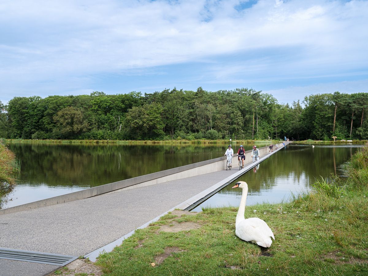
Meulenbroekvijverのそばの道。散歩に良い。釣り人を邪魔しないでください。
6
0
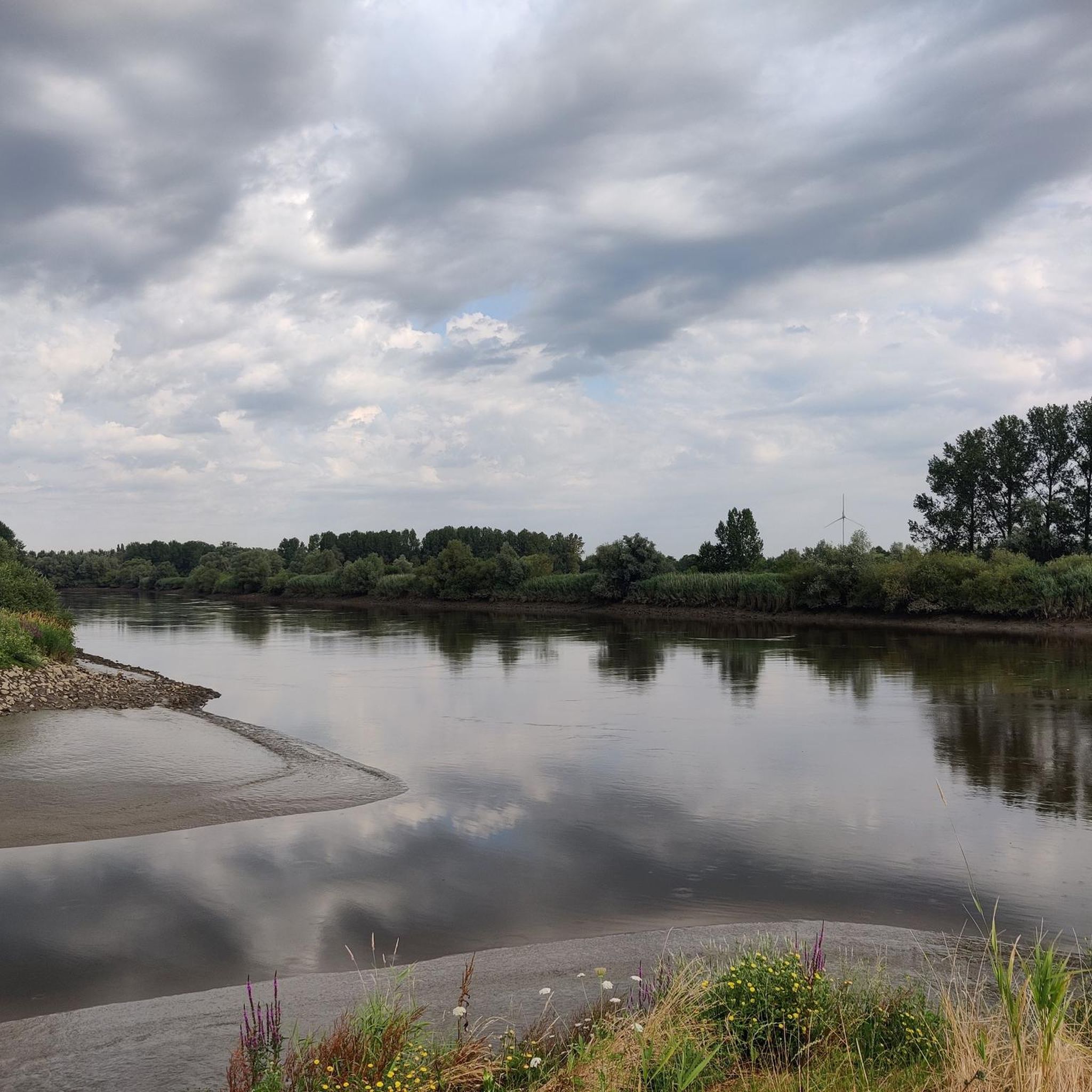
インフォハットからは、デュルム川にかかるミラブルグ橋の美しい景色を眺めることができます。
3
0

Vlassenbroekbrug(N41)の最も興味深い秘密は、この橋が実際には半分空であり、実現しなかった高速道路のために建設されたということです。 橋を車や自転車で渡ると、すぐに気づくでしょう。 2x2車線のために建設:1979年にコンクリート箱桁橋が開通したとき、政府はN41がSint-NiklaasとAalstの間の主要な自動車専用道路(あるいは高速道路)になることを考慮していました。そのため、建設は当初から4車線で十分な幅で作られました。 未完成:N41の完全な延伸計画は、抗議活動や変化する見解により中止されました。その結果、橋の西半分は自動車用に舗装されることはありませんでした。 サイクリストの楽園:本来なら2車線になるはずだった場所には、現在、巨大で広々とした独立した自転車道があります。そのため、Schelde川を渡るサイクリストは、未完成のベルギーの道路史の一部を思い出させる、かつてないほどの広大なスペースを楽しむことができます。
1
0
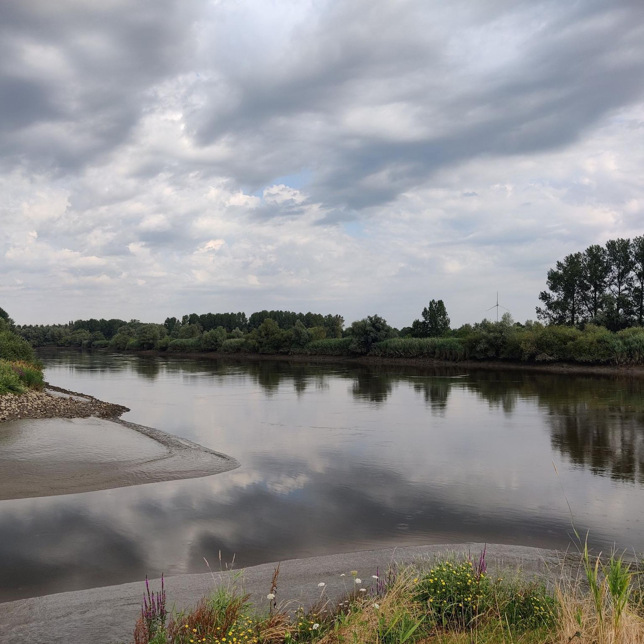
Oude Durmeに並行して続く素敵な砂利道。休憩用のベンチがあります。
2
0
Good unpaved path on an inner dike. If it's too muddy due to wet weather, you can take the adjacent concrete road below.
12
0

most beautiful bridge in the world. Enough!
1
0
ハンメでのの人気観光スポット

komootモバイルアプリでインスピレーションを得よう


さらに探索
他の地域の最高のMTBトレイルを見てみましょう。
