ヴァルテルビのおすすめウォーキング&ハイキングルート
4.6
(4461)
22,208
ハイカー
11
ハイキング
ヴァルテルビ周辺でのハイキングは、景色を満喫するのに最適な手段のひとつですが、適切なハイキングルートを見つけることは簡単ではありません。 ヴァルテルビ周辺の人気ハイキング&ウォーキングコースを参考にすれば、行きたいルートをすぐに見つけられます。
最終更新日: 10月 14, 2026
3.7
(9)
18
ハイカー
14.7km
04:47
630m
630m
中程度のハイキング. ある程度のフィットネスレベルが必要です。 全般的に進みやすいルートです。安定して歩行できる技術が必要です。
12
ハイカー
8.37km
02:33
280m
280m
中程度のハイキング. ある程度のフィットネスレベルが必要です。 進みやすいルートです。あらゆるスキルレベルに適しています。

5.0
(1)
11
ハイカー
8.92km
02:46
300m
300m
中程度のハイキング. ある程度のフィットネスレベルが必要です。 進みやすいルートです。あらゆるスキルレベルに適しています。
7
ハイカー
2.94km
00:49
60m
50m
初級者向けハイキング. あらゆるフィットネスレベルに適しています。 進みやすいルートです。あらゆるスキルレベルに適しています。
5
ハイカー
11.2km
03:33
440m
440m
中程度のハイキング. ある程度のフィットネスレベルが必要です。 進みやすいルートです。あらゆるスキルレベルに適しています。
さらに多くのルートや他のユーザーのおすすめ情報を確認できます。
すでにアカウントをお持ちですか?
おすすめのツアーは他のkomootユーザーが実際に経験した何千ものアクティビティに基づいています。
無料アカウントで今日から始めよう
次の冒険が待っています。
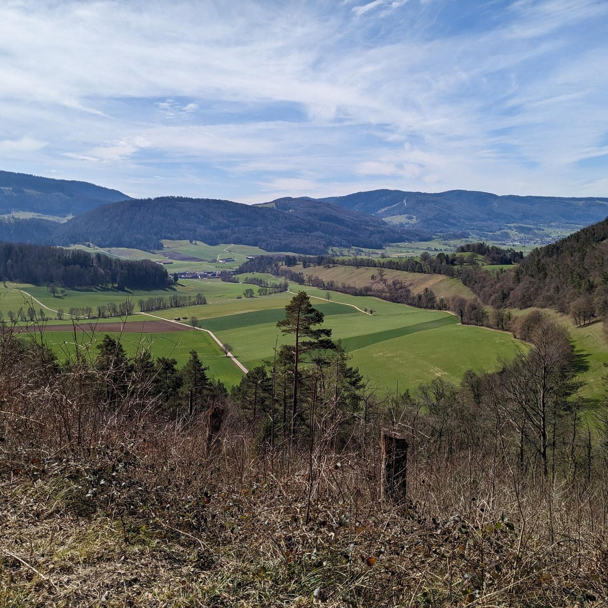
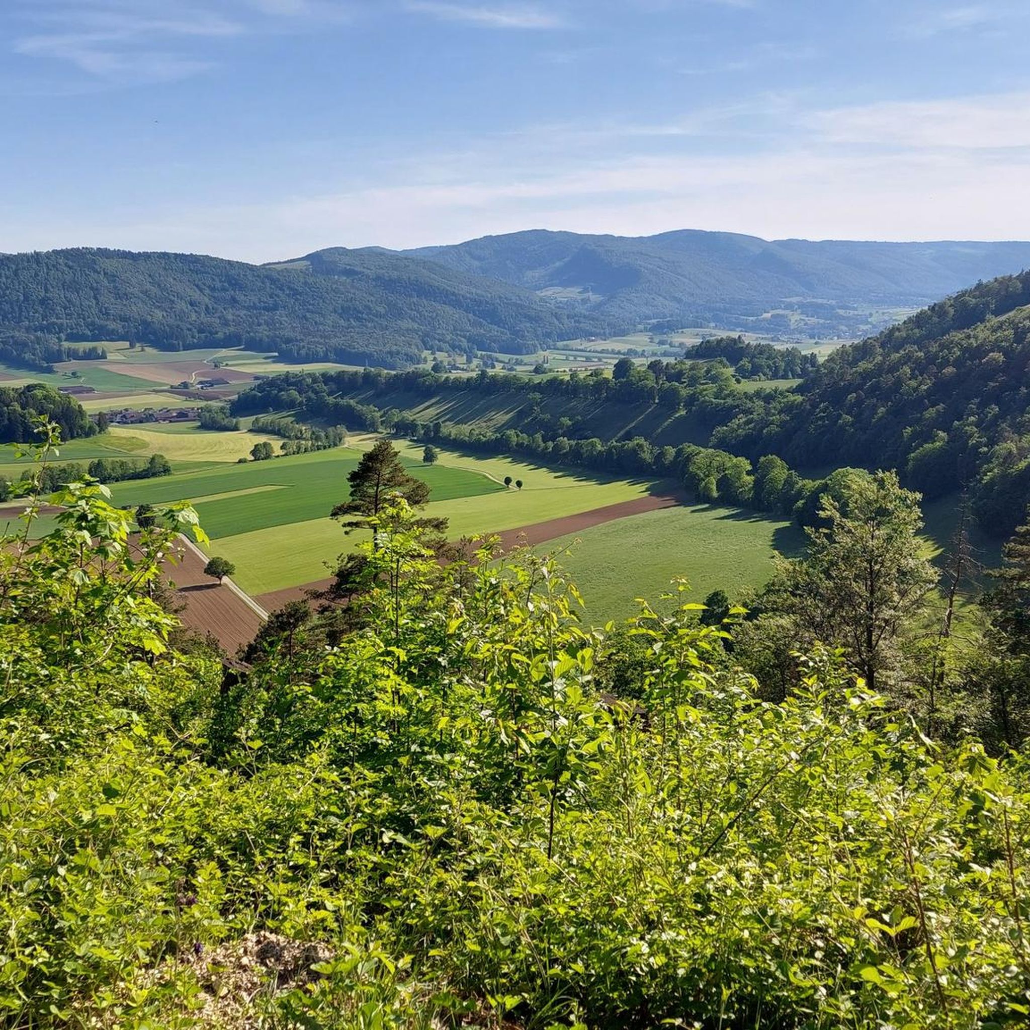
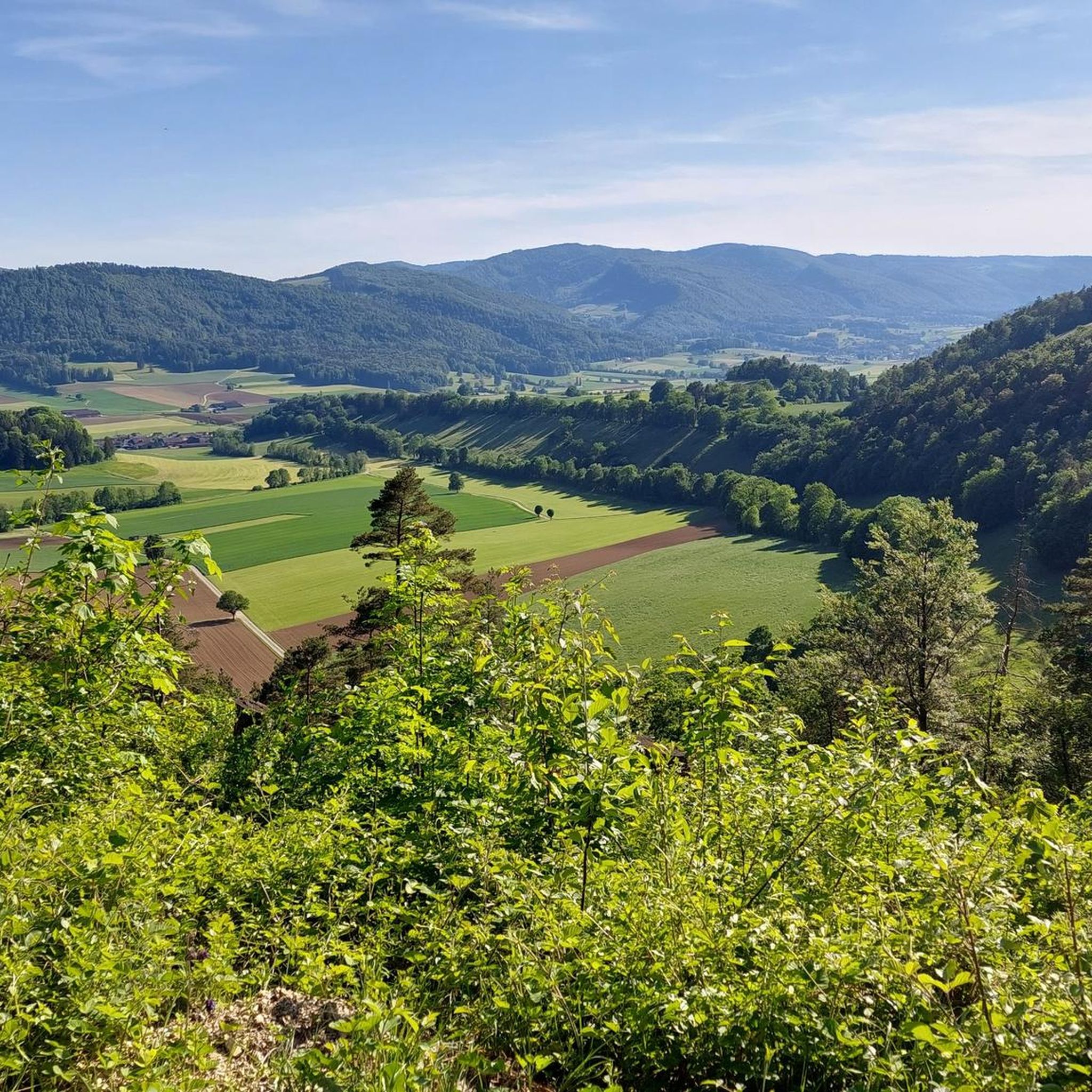
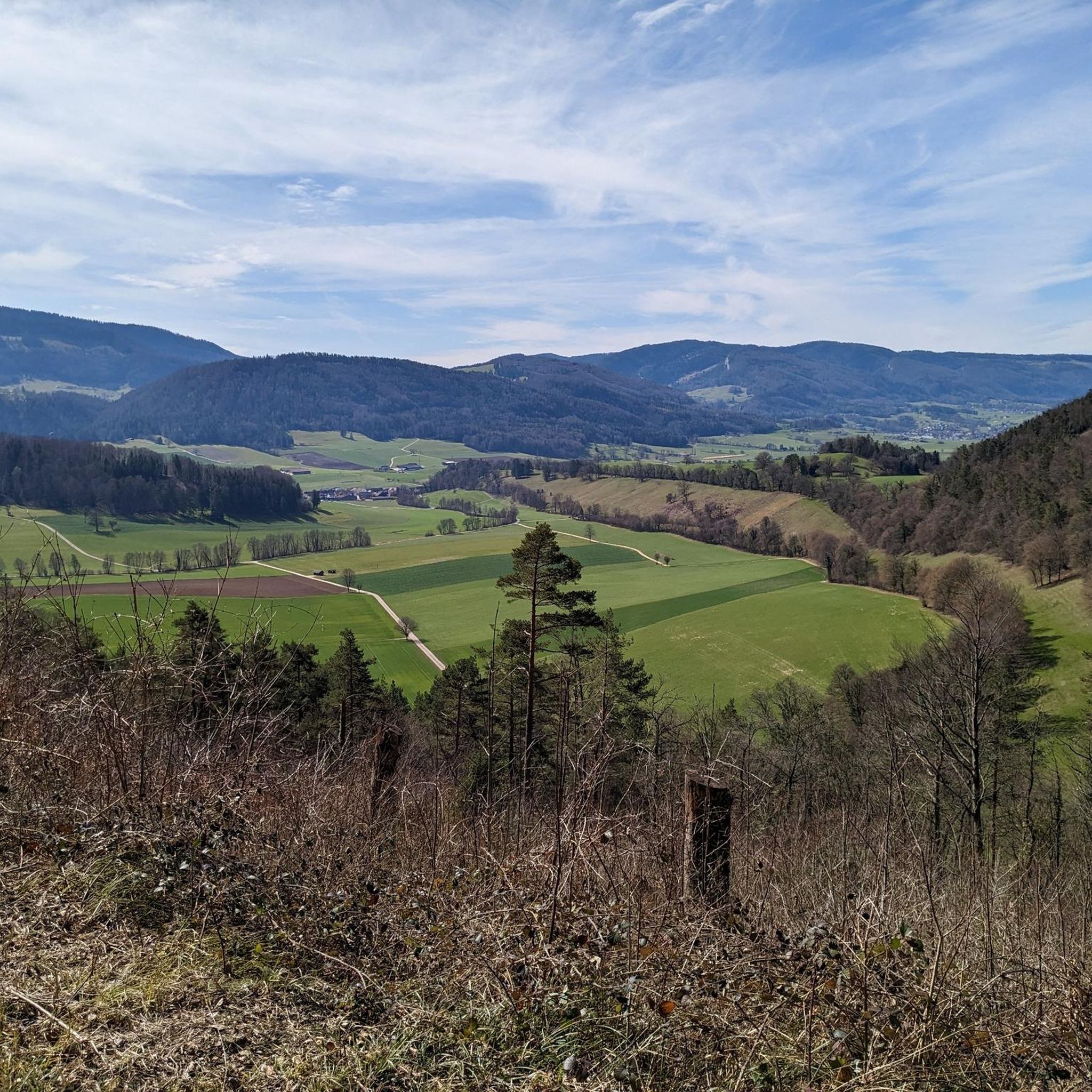

コミュニティからのヒント


we went for a big loop and weren't disappointed! The chalet du ski club is surrounded by cows now, it gave so much Swiss vibes to sit there.
1
0


Beautiful rest area with wayside cross and signpost
4
0
The Welschgätterli is a mountain pass between Montsevelier in the canton of Jura and Erschwil in the canton of Solothurn. Its summit is at an altitude of 810 meters above sea level, directly on the border between the two cantons. A yellow-marked hiking trail leads over the pass, connecting the two villages. You can also hike past the Welschgätterli on the Chemin du Val Terbi, which takes you on a circular route over the heights around Montsevelier. From the summit of the pass, the hike to Montsevelier takes about half an hour and to Erschwil around 40 minutes.
5
0

Botanical trail along which many explanatory panels are installed on the fauna and flora that surround us. The start of the botanical trail is located at the entrance to the village (arriving from Vicques). One kilometer long, it walks through the forest to the Plain-Fayen pasture where you can rest and picnic at the forest cabin which is decorated with a small playground for children (swings). https://www.val-terbi.ch/fr/Vivre/Loisirs/Activites-regionales/Sentier-botanique-Vermes.html
0
0

pretty decorations made by the children of Vicques
0
0

komootモバイルアプリでインスピレーションを得よう


