ブーハウトのおすすめウォーキング&ハイキングルート
4.1
(148)
942
ハイカー
64
ハイキング
ブーハウト周辺でのハイキングは、景色を満喫するのに最適な手段のひとつですが、適切なハイキングルートを見つけることは簡単ではありません。 ブーハウト周辺の人気ハイキング&ウォーキングコースを参考にすれば、行きたいルートをすぐに見つけられます。
最終更新日: 10月 5, 2026
4.1
(45)
173
ハイカー
9.59km
02:25
10m
10m
中程度のハイキング. ある程度のフィットネスレベルが必要です。 進みやすいルートです。あらゆるスキルレベルに適しています。
4.3
(19)
103
ハイカー
10.1km
02:33
10m
10m
中程度のハイキング. ある程度のフィットネスレベルが必要です。 進みやすいルートです。あらゆるスキルレベルに適しています。

4.3
(6)
34
ハイカー
9.20km
02:20
20m
20m
中程度のハイキング. ある程度のフィットネスレベルが必要です。 進みやすいルートです。あらゆるスキルレベルに適しています。
3.7
(7)
21
ハイカー
7.24km
01:50
10m
10m
初級者向けハイキング. あらゆるフィットネスレベルに適しています。 進みやすいルートです。あらゆるスキルレベルに適しています。
4.2
(5)
24
ハイカー
19.8km
05:00
30m
30m
中程度のハイキング. ある程度のフィットネスレベルが必要です。 進みやすいルートです。あらゆるスキルレベルに適しています。
さらに多くのルートや他のユーザーのおすすめ情報を確認できます。
すでにアカウントをお持ちですか?
おすすめのツアーは他のkomootユーザーが実際に経験した何千ものアクティビティに基づいています。
無料アカウントで今日から始めよう
次の冒険が待っています。
コミュニティからのヒント

Between 1831 and 1837, David was director of the Pitzemburg College in Mechelen. From 1834, he held the chair of Language and Literature, and from 1836, the chair of Dutch History at the Catholic University of Leuven. There, he was committed to promoting Dutch (Flemish) literature. In 1864, he became a member of the Spelling Commission, which officially recognized the unity of language in Flanders and the Netherlands. He contributed to the Groot Woordenboek der Nederlandsche Taal (Great Dictionary of the Dutch Language).
2
0
Already in the initial plans of 1831, a railway line from Antwerp to Germany was to run via Lier. However, later routes diverted this connection via Mechelen or Grobbendonk and Herentals, much to the displeasure of the Lier city council, which considered the city the obvious gateway to the Kempen region. There was also a long dispute as to whether the line from Lier would be better to run to Kontich or Duffel. The rail connection became concrete when a concession for a Lier-Turnhout railway line was approved by law on May 1, 1853. The first trains ran on the Kontich-Herentals line in mid-March 1855, and the official opening followed on April 19 and 23, 1855 (freight and passenger services respectively).
5
1
The Nete Diversion Canal (also called the Diversion Canal) is a man-made canal that runs halfway around the city of Lier. It was originally intended to divert excess water from the Kleine Nete around Lier to relieve the lower-lying areas in the east of the city. The diversion canal begins at the Kleine Nete in the northeast of Lier and flows into the Nete in the south.
3
0

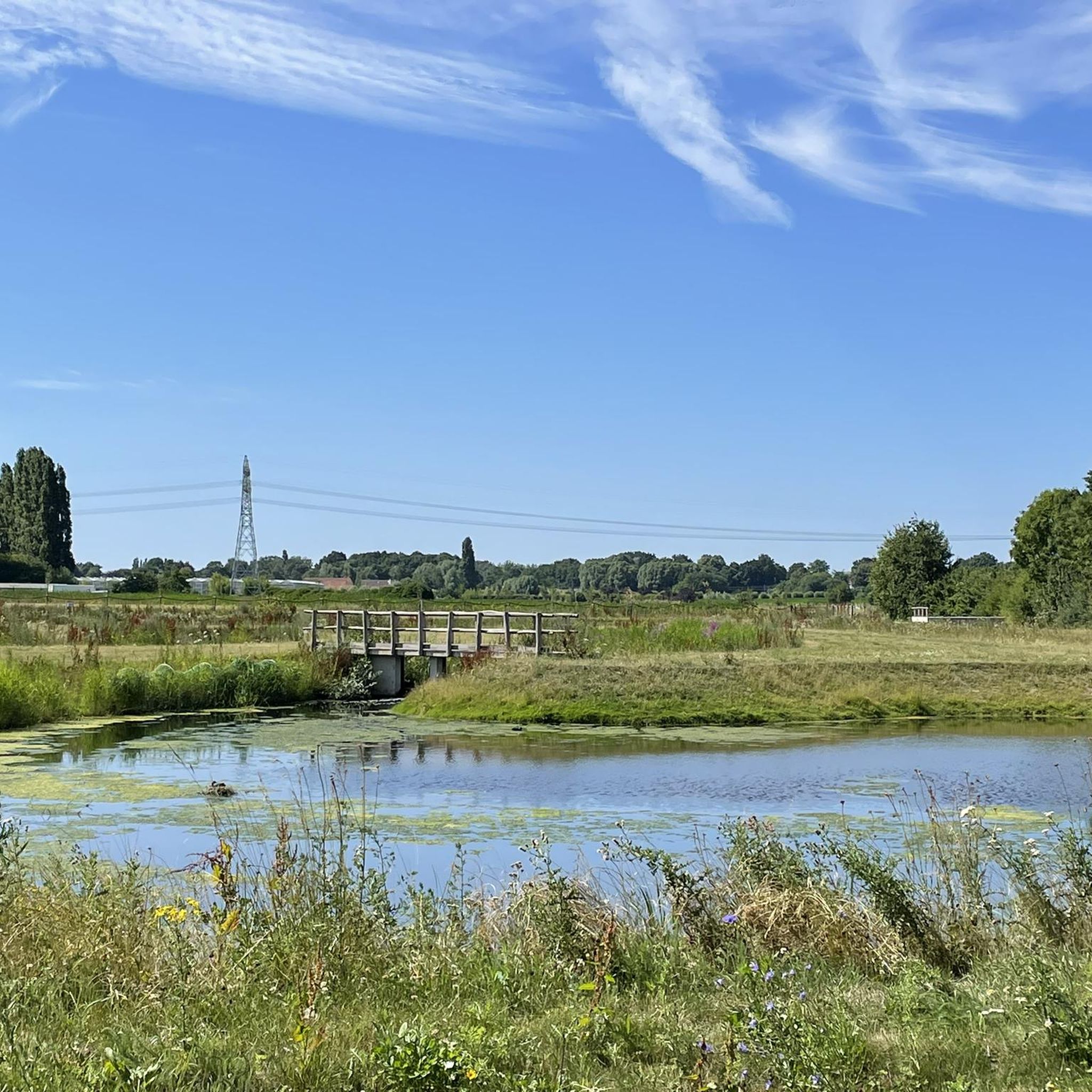
Not exactly what I would usually call a highlight, but it is a beautiful spot, with the Kleine Nete on one side and the waters and green turf of the fishing club on the other.
6
0
This is the northernmost section of the diversion canal, which is otherwise located mainly west of the city. "The diversion canal or bypass canal of the Nete was dug in 1860 west of Lier. The diversion canal is bordered by a wooded embankment or a row of trees and the towpath." Source and extensive historical information: Inventory of Immovable Heritage: Diversion Canal of the Nete and the Walk, https://id.erfgoed.net/erfgoedobjecten/300030
7
0

It's wonderful to put aside my worries for a while!
0
0

The station dates from 1861 and was built in the neoclassical style based on a design by A. Payen. The station has been renovated several times. Its appearance was altered several times, first by a large telephone mast on the roof (from around 1900 to around 1935), in the second half of the 20th century with the replacement of the glass canopy with a solid one, and by the masts added during the electrification of railway lines in Belgium. The building has been a protected monument since 1995. Source: Wikipedia
6
0
ブーハウトでのの人気観光スポット

komootモバイルアプリでインスピレーションを得よう


さらに探索
他の地域の最高のハイキングを見てみましょう。
