サンレジェールのおすすめウォーキング&ハイキングルート
4.4
(294)
1,322
ハイカー
110
ハイキング
サンレジェール周辺でのハイキングは、景色を満喫するのに最適な手段のひとつですが、適切なハイキングルートを見つけることは簡単ではありません。 サンレジェール周辺の人気ハイキング&ウォーキングコースを参考にすれば、行きたいルートをすぐに見つけられます。
最終更新日: 9月 26, 2026
4.6
(5)
17
ハイカー
17.1km
04:38
230m
230m
Hike the moderate 10.6-mile Forêt de Saint-Léger loop in Gaume Nature Park, featuring wooded paths and the Éperons Barrés Viewpoint.
4.7
(12)
59
ハイカー
4.72km
01:16
50m
50m
初級者向けハイキング. あらゆるフィットネスレベルに適しています。 進みやすいルートです。あらゆるスキルレベルに適しています。

4.9
(18)
40
ハイカー
中程度のハイキング. ある程度のフィットネスレベルが必要です。 進みやすいルートです。あらゆるスキルレベルに適しています。
4.9
(9)
42
ハイカー
12.5km
03:19
130m
130m
中程度のハイキング. ある程度のフィットネスレベルが必要です。 進みやすいルートです。あらゆるスキルレベルに適しています。
4.2
(10)
43
ハイカー
7.12km
01:50
40m
40m
初級者向けハイキング. あらゆるフィットネスレベルに適しています。 進みやすいルートです。あらゆるスキルレベルに適しています。
さらに多くのルートや他のユーザーのおすすめ情報を確認できます。
すでにアカウントをお持ちですか?
おすすめのツアーは他のkomootユーザーが実際に経験した何千ものアクティビティに基づいています。
無料アカウントで今日から始めよう
次の冒険が待っています。
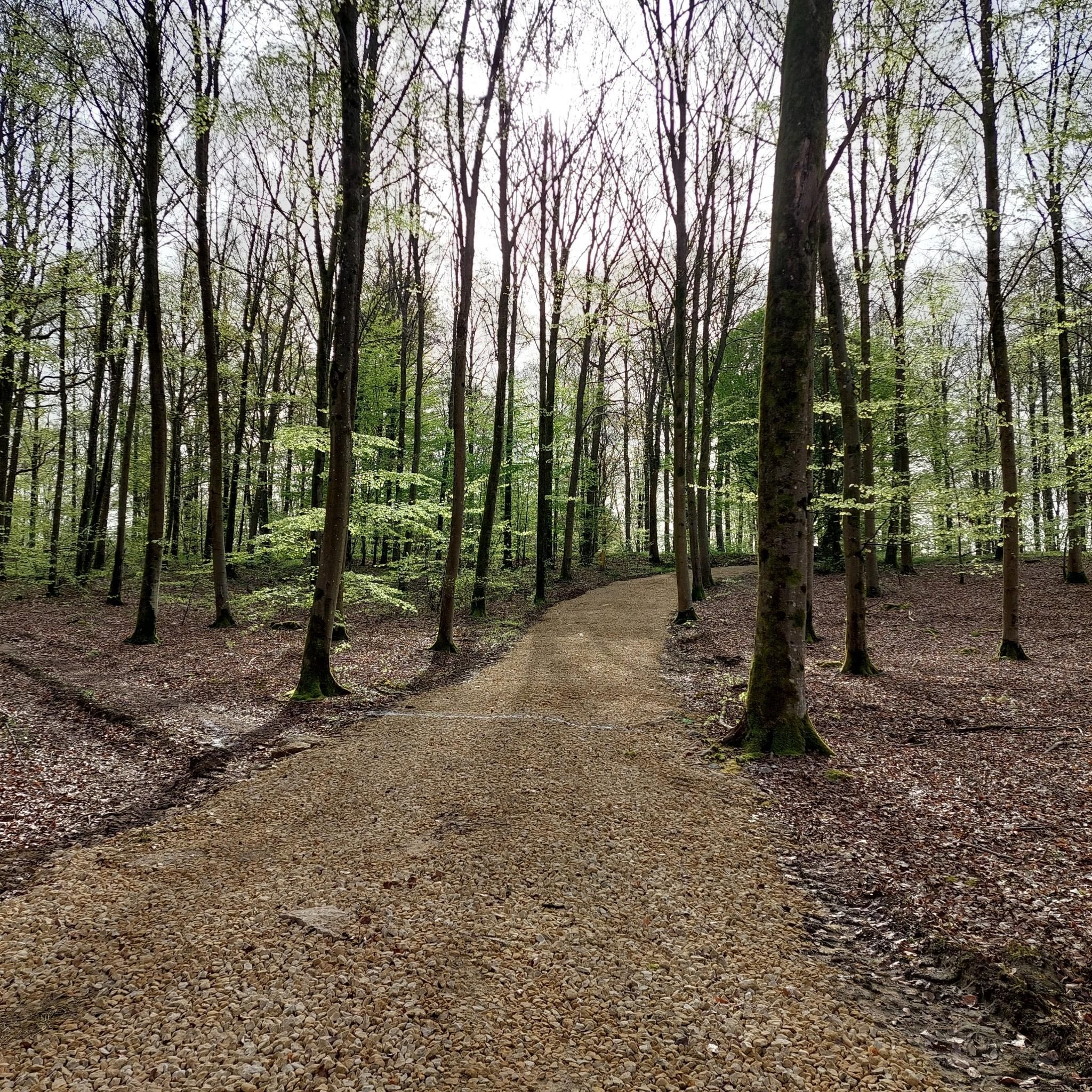
コミュニティからのヒント

The Trench of Gates: Gateway to Gaume, Gateway to Legends 1. What is it? Physical Description The Trench of Gates is a deep and spectacular rocky gorge, naturally carved by the Vire River (a tributary of the Semois) into the sandstone plateau of the Gaume forest. Located in the village of Dampicourt (commune of Rouvroy), on the French border, it forms a narrow and winding notch, framed by high sandstone walls and strangely shaped rocks. Its name comes from its topography: the site gives the impression of crossing several successive natural "gates." 2. A Strategic Position: Military History The true fame of the Trench of Gates comes from its historical role as a natural fortress and strategic border post. A Gallic Stronghold? : Its easily defensible configuration suggests that it was used as a refuge since the Gallic era. The Roman Fort: Its strategic role became evident during the Roman era. The Romans established a castellum (a fortified camp) there to control the passage between Belgic Gaul and Imperial Trier, and to protect the nearby Roman road. Remains of these fortifications were still visible several centuries ago. A Millennial Challenge: Due to its position on the border, the site has been contested and fortified throughout history, from the Middle Ages to modern wars. It offered an ideal control point over one of the few passable passages through the region's wooded terrain.
1
0

The trail from this viewpoint is a real balancing challenge towards the end, very rocky with large gravel. It seems to me that a few years ago the trail was not so perilous. It is part of the official permanent route "La Croix Renson en Gaume" which advises to do it clockwise, so this uphill trail is impossible! Except for a trialist with Hulk legs and a motorcycle traction. 🙄
0
0


It stings a little 😂
1
0

The Cuisine Sauvage chalet in Saint-Léger is a friendly place to spend a Sunday in a unique atmosphere, where the Friends of Rouge Eau team welcomes you! With friends, family, or a loved one, it's the perfect spot for a natural forest meal: Rouge Eau nearby, cold drinks, and shaded tables in the heart of the forest. Enjoy a game of pegs, Mölkky or pétanque, or even walk on stilts. The chalet is open every Sunday in summer from 2 p.m. to 8 p.m. and can be rented outside of certain dates. All you need to bring are sausages, bread, and a market garden salad!
3
0
At this site, fed by two tributary streams of the Ton, ironworks are believed to have been carried out as early as the 15th century. Column furnaces (internationally renowned and still highly sought after today), chimney backs, and pumps were manufactured here. On some roads in the region and in the surrounding villages, you can still see sewer inspection chamber signs bearing the inscription "Ateliers et fonderie Dominicy Châtillon" (Dominicy Châtillon Workshops and Foundry). These establishments later specialized in the manufacture of agricultural machinery. The factory enjoyed great prosperity during the interwar period. But in 1966, it was forced to close its doors permanently.
1
0
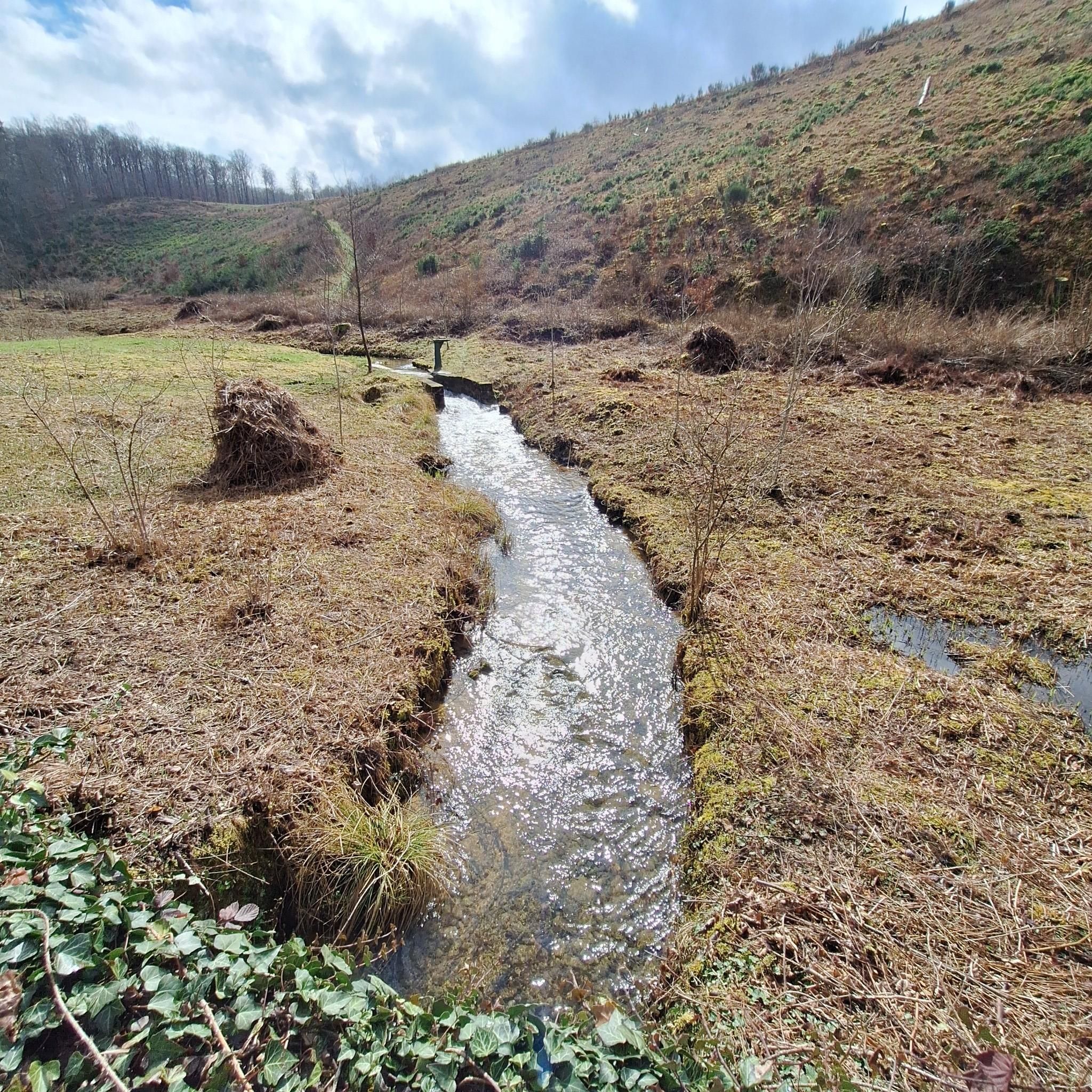
In Gaume, the term "crons" (or "cranières") refers to the petrifying limestone springs and the limestone tuff massifs thus formed. The site now appears as a steeply sloping clearing facing south-southeast and traversed by a stream of crystal-clear water. The vegetation and ecological conditions are remarkably diverse: calcareous grasslands, alkaline marshes dominated by Molinia, dry and wet rock slabs, sedge meadows with sedge, buckthorn willow, thermophilic proforest ridges, etc. This environment is a NATURA 2000 priority habitat in the European Union. The wild columbine, with its blue flowers, blooms here in spring. The fauna is also remarkable: the site, for example, is a favorite biotope of a rare dragonfly, the bidentate cordulegastre, whose larvae develop in the thin streams of water. The Haie de Han de Saint-Léger Cron Reserve was created thanks to the Municipality of Saint-Léger making available two plots of land located within its forest property (agreement of November 8, 2004): the eastern cron here and the western cron, some 350 m downstream. The formation of the crons is linked to the precipitation of dissolved limestone in the water from springs gushing upstream at an impermeable marl bank. The springs are an outlet for rainwater, which infiltrates through the sandy limestone layers of Orval and becomes saturated with calcium. In the open air, the dissolved limestone precipitates due to the heating promoted by the topography of the area (a sunny slope) and the growth of mosses. The precipitation eventually produces a rock mass, gradually causing the stream to spread and shift. Areas of so-called active cron (current deposits) and dry, non-irrigated slabs (senile stage of cron) coexist. Calcareous tuff, also called travertine, is a hard and light rock that has had various uses in the past as a construction material (road conduits, door frames, etc.) but also as a steelmaking flux (limestone) during the forging era.
2
0
サンレジェールでのの人気観光スポット

komootモバイルアプリでインスピレーションを得よう


