ルート

プランナー

機能

アップデート

App

ログインまたはサインアップ

アプリを入手

ログインまたはサインアップ

ルート
ロードバイクルート
ベルギー
ワロン地域
リエージュ
ベルビエ

マルメディ

マルメディのおすすめライド

4.3

(120)

3,769

ライダー

118

ライド

マルメディ周辺のロードバイクルートをお探しですか?ここでは、komootが提供するマルメディでのロードバイクライドのコレクション全体を評価して選び抜いた人気ルートをご紹介します。各ライドの詳細をぜひご覧ください。

最終更新日: 8月 24, 2026

4.4

(8)

378

ライダー

#1.

Verviersから出発する ジレップダムのライオン – ジレップダム ループコース

50.1km

02:24

720m

720m

中程度のロードライド. ある程度のフィットネスレベルが必要です。 全般的に舗装状態が良好で走行しやすい道です。

デバイスでナビ

スマートフォンに送信

保存

中程度

中程度のロードライド. ある程度のフィットネスレベルが必要です。 全般的に舗装状態が良好で走行しやすい道です。

中程度
guide_signup
私たちがkomootモバイルアプリで道を示します
無料の komoot アカウントがあれば、無限のアウトドアコースを簡単に見つけてカスタマイズし、ナビで案内できます。

無料新規登録

中程度のロードライド. ある程度のフィットネスレベルが必要です。 全般的に舗装状態が良好で走行しやすい道です。

中程度

中程度のロードライド. ある程度のフィットネスレベルが必要です。 全般的に舗装状態が良好で走行しやすい道です。

中程度

中程度のロードライド. ある程度のフィットネスレベルが必要です。 ツアーの一部に、未舗装のため走行が難しい箇所があるかもしれません。

中程度
無料新規登録すると、マルメディでのでのライドをさらに114件ご覧いただけます。

さらに多くのルートや他のユーザーのおすすめ情報を確認できます。

無料新規登録

すでにアカウントをお持ちですか?

おすすめのツアーは他のkomootユーザーが実際に経験した何千ものアクティビティに基づいています。

無料アカウントで今日から始めよう

次の冒険が待っています。

ログインまたは登録

マルメディ周辺で人気

ウルトラ・ツール・デ・スールス — 通年マーク付きのトレイル
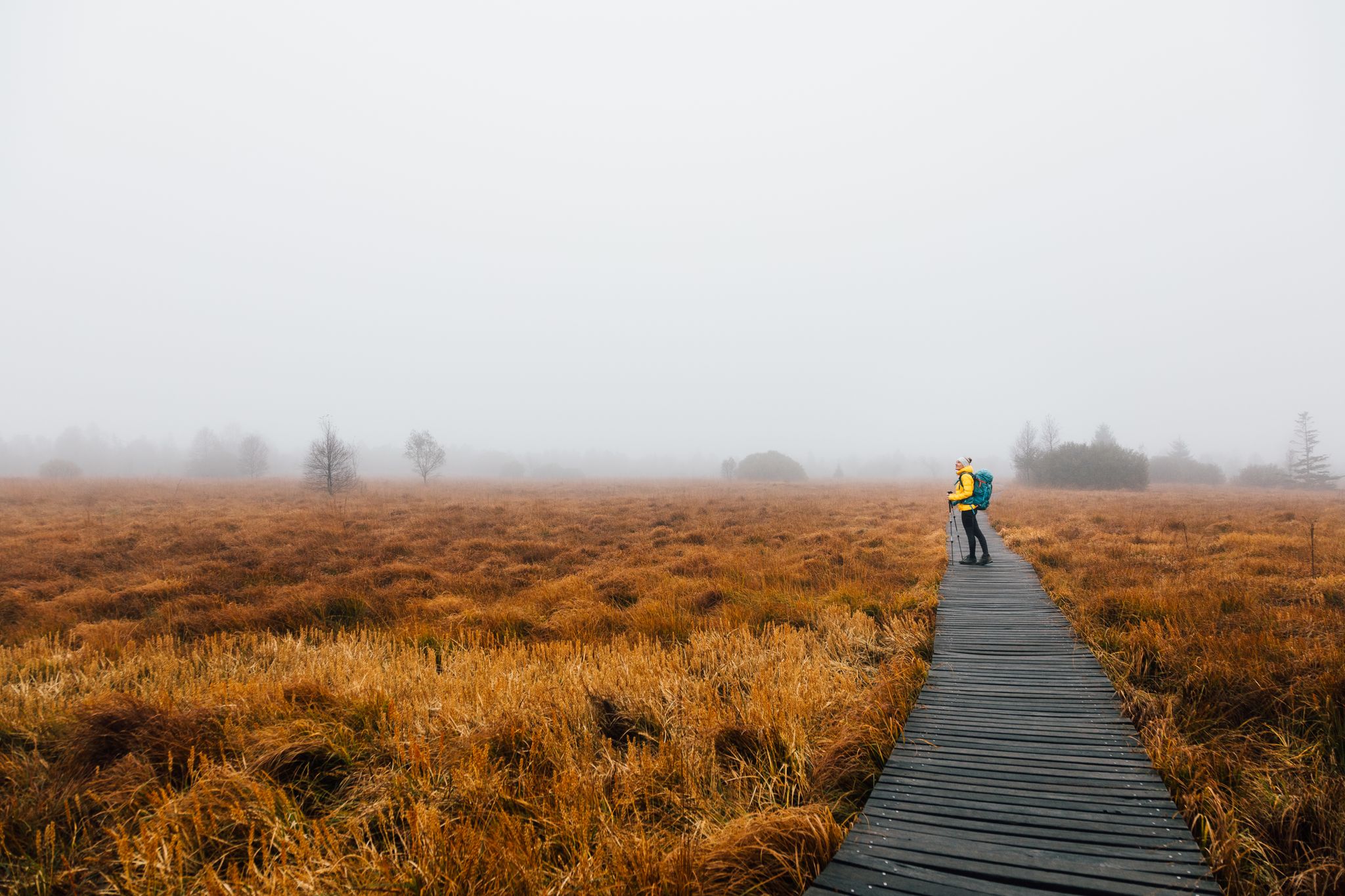
High moor to fairytale forest – three autumn days on the Venntrilogie
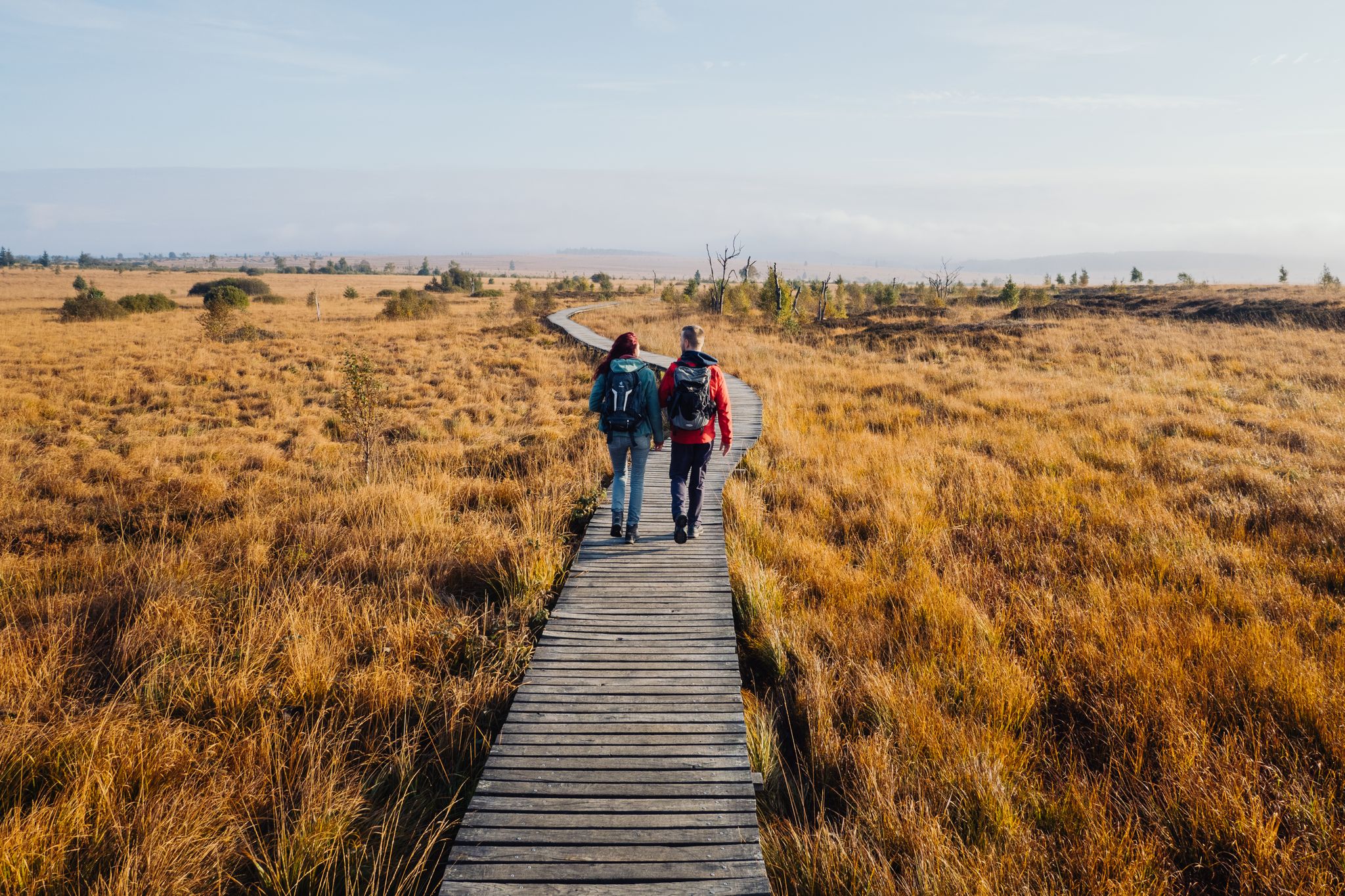
Venntrilogie – 東ベルギーのプレミアムハイキング体験
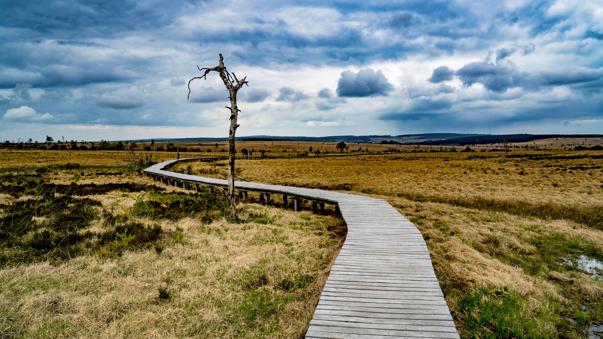
Leisure Tours on enchanted paths – hiking in East Belgium
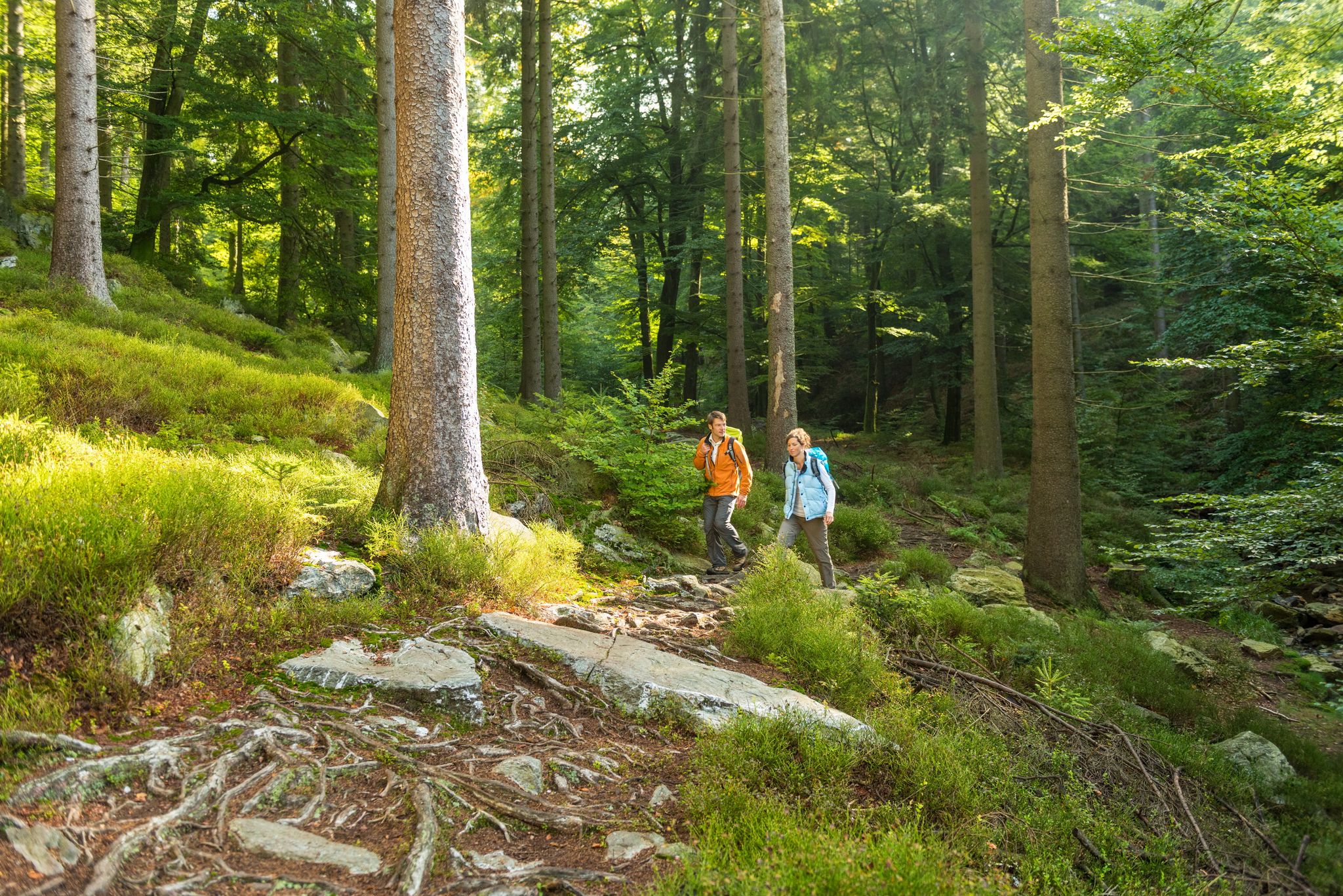
Fantastic regional footpaths — GR hiking paths in East Belgium
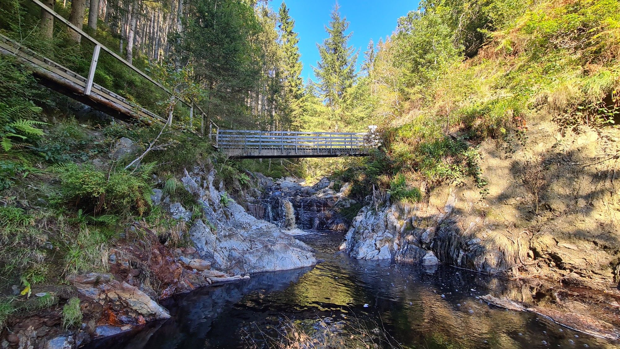
Little adventures — kids on Tour in East Belgium
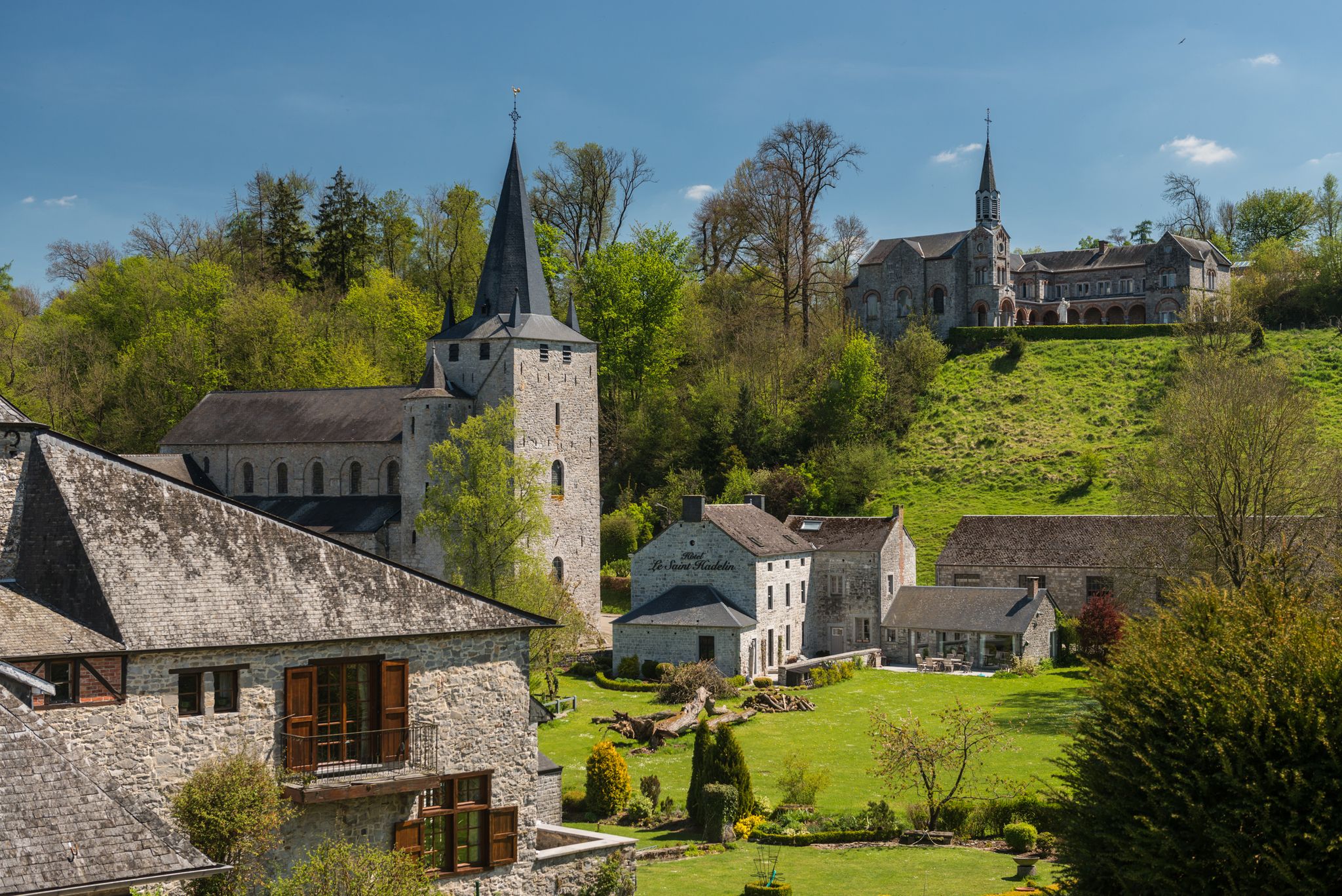
Walks in the Belgian Ardennes — historic walls & magical forests
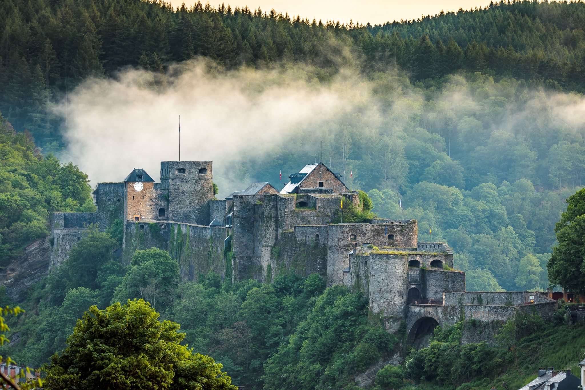
Hiking along majestic castles and nature – Belgian Ardennes
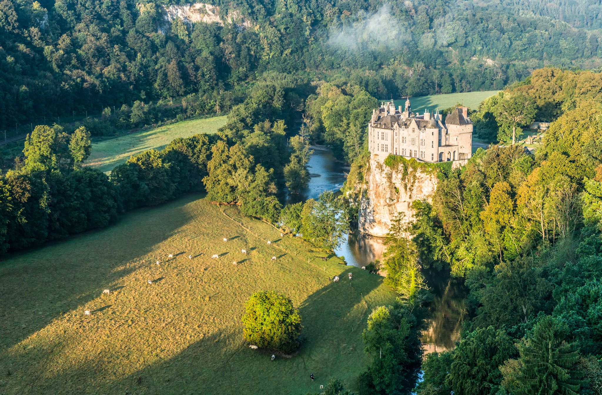
Pure nature on the hiking trails in the Belgian Ardennes
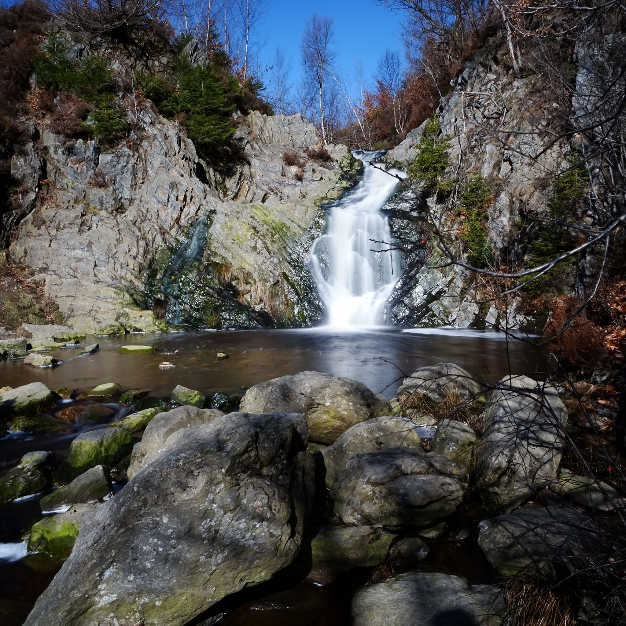
マルメディでのハイキング

マルメディでのの他の冒険

ウルトラ・ツール・デ・スールス — 通年マーク付きのトレイル

ランニングのコレクション によって

Nicolas Vergnaud

コミュニティからのヒント

Martin Sommer
6月 12, 2026, Signal de Botrange

ジオキャッチャーの方へ:23段あります :-)

Google翻訳による翻訳

0

0

面白い

Google翻訳による翻訳

5

0

St. Wendelin's Church was built in 1935, replacing the former parish church from 1708, whose choir still stands today as a chapel. The church belongs to the Diocese of Liège and is dedicated to St. Wendelin, a highly venerated patron saint of shepherds and farmers in rural areas.

Google翻訳による翻訳

50

0

Unique experience, nice smooth asphalt and a nice constant slope.

Google翻訳による翻訳

0

0

Parking lot, a brasserie and straight into nature.

Google翻訳による翻訳

1

1

In Belgium, too, traffic is apparently being closely monitored, as the warning signs show: one year, cross-country skiers come from the right, the next year, apparently more from the left. In any case, this means cyclists should keep their eyes open!

Google翻訳による翻訳

0

0

JP
3月 31, 2025, Signal de Botrange

Botrange dominates the plateau of the Hautes Fagnes and is the highest point in Belgium at 694 m above sea level. This status was granted in 1920 when the East Cantons (including the municipality of Waimes) became Belgian territory after the Treaty of Versailles. It thus replaced the site of the Baraque Michel (672 m), which is located on the territory of Jalhay. As early as the 19th century, there were two geodetic markers: - the "Pyramide Tranchot", erected in 1806 by a French colonel (under Napoleon) who was charged with drawing up a map of the region. This stone bears a goniometric point 1 on its front. - the "Trigonometric Point" (TP), erected in 1894 by German military engineers. In 1923, General Baltia (High Commissioner of the Belgian government for the East Cantons between 1920 and 1925) built a hill there to "mark" the location of this new peak of the Kingdom, just behind a wooden tower that served as an observation post and was built by the Prussian administration. The current tower was built in 1934 by François Fagnoul of Waimes, is 24 m high and offers a view of the surrounding area (and far beyond). At the foot of it, on the right, is the tourist office, which informs visitors about walks in the Fens. In 2014, a monument known as the "Manifesto of Botrange" was inaugurated there by the municipality of Waimes, in the presence of Paul Dandrifosse, author of the book "Nos terres volées en 1940", a plea for the official recognition of the history of the East Cantons. As part of the redevelopment of the site by the municipality of Waimes in 2022 (extension of the car park, access via a covered lift to the top of the tower - raised by a viewing platform - creation of a reception and information area for visitors and modernisation of the café-restaurant), the history of East Belgium will be outlined in the Eastorium (see History and Heritage), supplemented by a tour of the Fens, along the old milestones and other monuments of the Fens. Source: https://www.waimeshautesfagnes.be/nl/decouvrir/incontournables/le-signal-de-botrange.htm

Google翻訳による翻訳

5

0

More information about the Botrange signal can be found at www.waimeshautesfagnes.be/nl/decouvrir/incontournables/le-signal-de-botrange.htm

Google翻訳による翻訳

1

0

マルメディでのの人気ルート

マルメディでのハイキング

マルメディでのの人気観光スポット

Natural Monuments

Store rating

komootモバイルアプリでインスピレーションを得よう

無料のkomootアカウントがあれば、無限のアウトドアコースを簡単に見つけてカスタマイズし、ナビで案内できます。

または

今すぐkomootに参加しよう

Store rating

さらに探索

他の地域の最高のロードサイクリングルートを見てみましょう。

スタベロットソースナチュラルパークBois ChinculスパBois De HatraiウェームHautesFagnes-アイフェル自然公園トルーズロンツェントロワポンケルミスオイペンストゥモンアメルティユーザンクト・フィートリンブルグBois De StaneuxウェルカンラトダイソンバランWesertalsperreビューリンゲンBois De La Poralléeブッゲンバッハー湖ビュートゲンバッハラアーレンForêtdomanialedeGrünhautジレッペ湖ジャレRaerenerwaldプロンビエールティミステクレルモンエルベリエルヌーオベルブルク=ロイラントBois Des Vieilles Fagnesペパンステロベールヴィル湖Lindscheid

近くのアドベンチャーガイド

ベルビエでやるべきこと

background

新しいピークを征服する準備をしよう

無料でサインアップ

探検する
ルートルートプランナー機能バウチャーを利用ハイキングMTBトレイルロードバイクルートバイクパッキングサイトマップ
アプリをダウンロード
SNSでフォローする

© komoot GmbH

プライバシーポリシー