マルトランジュのおすすめウォーキング&ハイキングルート
4.3
(779)
4,055
ハイカー
83
ハイキング
マルトランジュ周辺でのハイキングは、景色を満喫するのに最適な手段のひとつですが、適切なハイキングルートを見つけることは簡単ではありません。 マルトランジュ周辺の人気ハイキング&ウォーキングコースを参考にすれば、行きたいルートをすぐに見つけられます。
最終更新日: 9月 3, 2026
4.1
(50)
206
ハイカー
4.40km
01:19
130m
140m
初級者向けハイキング. あらゆるフィットネスレベルに適しています。 進みやすいルートです。あらゆるスキルレベルに適しています。
4.7
(148)
532
ハイカー
7.10km
01:59
140m
140m
初級者向けハイキング. あらゆるフィットネスレベルに適しています。 進みやすいルートです。あらゆるスキルレベルに適しています。

4.5
(50)
259
ハイカー
8.34km
02:23
190m
190m
中程度のハイキング. ある程度のフィットネスレベルが必要です。 進みやすいルートです。あらゆるスキルレベルに適しています。
4.3
(36)
215
ハイカー
10.4km
02:51
170m
170m
中程度のハイキング. ある程度のフィットネスレベルが必要です。 進みやすいルートです。あらゆるスキルレベルに適しています。
4.6
(19)
143
ハイカー
27.6km
07:37
470m
470m
難しいハイキング. 標準以上のフィットネスレベルが必要です。 進みやすいルートです。あらゆるスキルレベルに適しています。
さらに多くのルートや他のユーザーのおすすめ情報を確認できます。
すでにアカウントをお持ちですか?
おすすめのツアーは他のkomootユーザーが実際に経験した何千ものアクティビティに基づいています。



コミュニティからのヒント

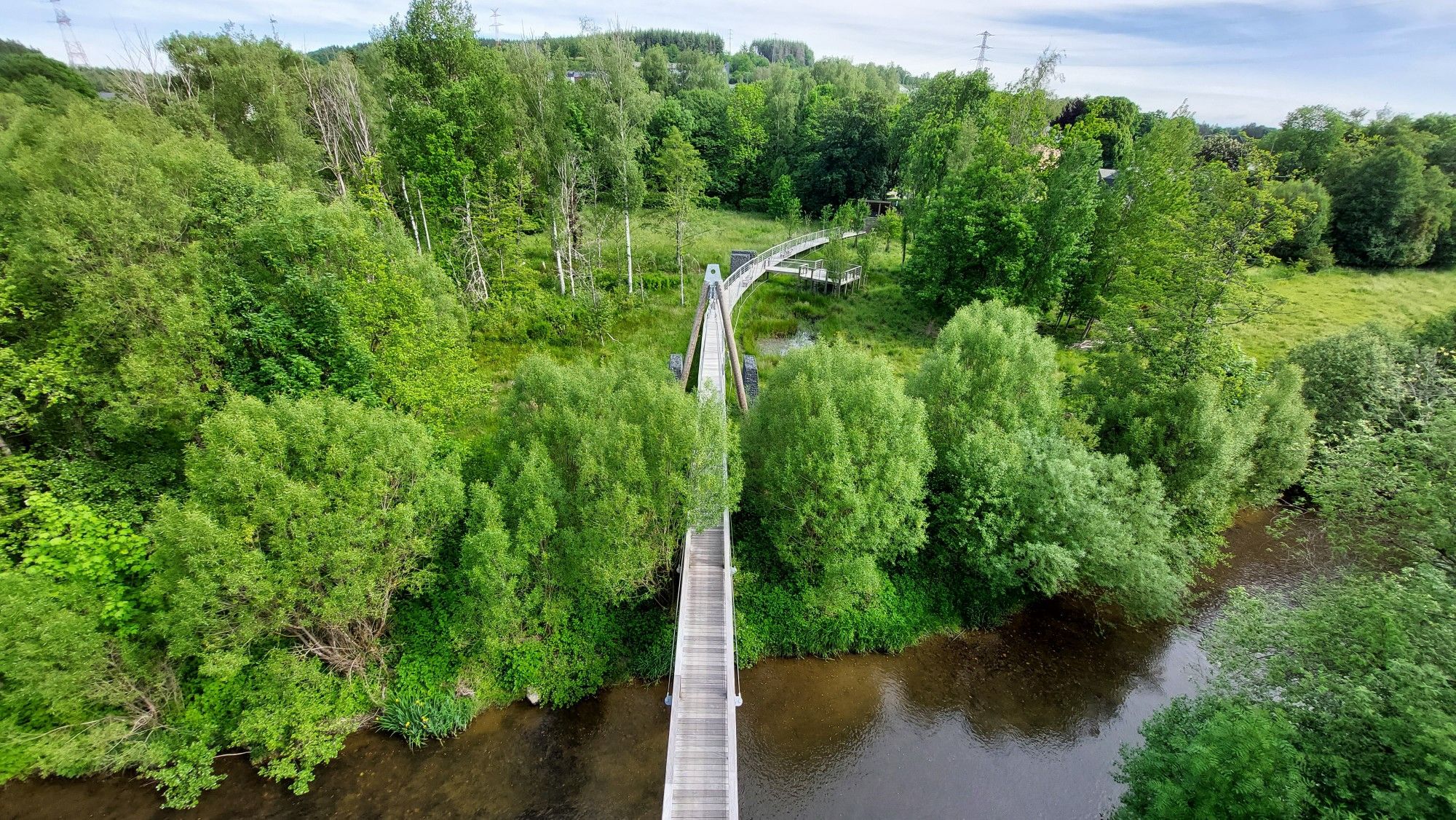
美しい塔+遊歩道ですが、それほど壮観ではありません。
0
0
ベンチはきれいに整頓されており、この地点からはあらゆる方向からアクセスできます。
0
0


The building's origins date back to the 18th century. It was originally a watermill operated by the Kuborn family. In 1908, Albert Kuborn acquired the property and added a turbine that supplied electricity not only to the mill but also to the entire village.
1
0
The "Bird's Footbridge" in Martelange, Belgium, is a 150-meter-long pedestrian bridge that crosses the Sûre River and transports hikers into a fascinating natural world. Opened in 2011, the bridge is part of a project connecting the municipal building (Moulin Kuborn) and the former tannery park (Parc de la Tannerie). Long the path are informative panels that educate visitors about the various bird species. QR codes can be scanned with a smartphone to hear the birdsong.
1
0
As part of the Aachen Border Treaty of 1816, over 100 numbered boundary stones were placed along the Belgian-Prussian border. The rows of stones range from 158 to 193. This also includes the stone numbered 167.
1
0

A wooden bridge (over the Sûre) with a lookout tower, located in the arboretum of Martelange, where you can observe the local bird life. From the lookout tower you have a beautiful view over the arboretum and Martelange. A nice recommendation. You can combine this with the marked walking route.
3
0

Parc de la Tannerie in Martelange is a charming park with winding paths along the rippling waters of the Sûre, surrounded by green lawns and shady trees. This peaceful park offers both picnic areas and cozy benches, ideal for relaxing and enjoying the natural surroundings. A perfect place to unwind and enjoy the fresh air in the heart of Martelange.
3
0
マルトランジュでのの人気観光スポット

komootモバイルアプリでインスピレーションを得よう


さらに探索
他の地域の最高のハイキングを見てみましょう。
