アウデンブルグのおすすめウォーキング&ハイキングルート
4.3
(382)
1,665
ハイカー
63
ハイキング
アウデンブルグ周辺でのハイキングは、景色を満喫するのに最適な手段のひとつですが、適切なハイキングルートを見つけることは簡単ではありません。 アウデンブルグ周辺の人気ハイキング&ウォーキングコースを参考にすれば、行きたいルートをすぐに見つけられます。
最終更新日: 10月 4, 2026
4.6
(149)
667
ハイカー
13.3km
03:21
20m
20m
中程度のハイキング. ある程度のフィットネスレベルが必要です。 進みやすいルートです。あらゆるスキルレベルに適しています。
4.6
(57)
371
ハイカー
3.24km
00:49
10m
10m
初級者向けハイキング. あらゆるフィットネスレベルに適しています。 進みやすいルートです。あらゆるスキルレベルに適しています。

4.3
(10)
50
ハイカー
9.62km
02:26
20m
20m
中程度のハイキング. ある程度のフィットネスレベルが必要です。 進みやすいルートです。あらゆるスキルレベルに適しています。
4.1
(16)
29
ハイカー
7.70km
01:57
10m
10m
初級者向けハイキング. あらゆるフィットネスレベルに適しています。 進みやすいルートです。あらゆるスキルレベルに適しています。
4.6
(8)
42
ハイカー
10.0km
02:31
10m
10m
中程度のハイキング. ある程度のフィットネスレベルが必要です。 進みやすいルートです。あらゆるスキルレベルに適しています。
さらに多くのルートや他のユーザーのおすすめ情報を確認できます。
すでにアカウントをお持ちですか?
おすすめのツアーは他のkomootユーザーが実際に経験した何千ものアクティビティに基づいています。
無料アカウントで今日から始めよう
次の冒険が待っています。

コミュニティからのヒント

brasserie d'Abdij beautiful terrace with a wide choice of drinks and pancakes...
1
1

Beautiful bike path along the canal. The animals were there too.
2
0

nice stop. nice terrace and great for children
0
1

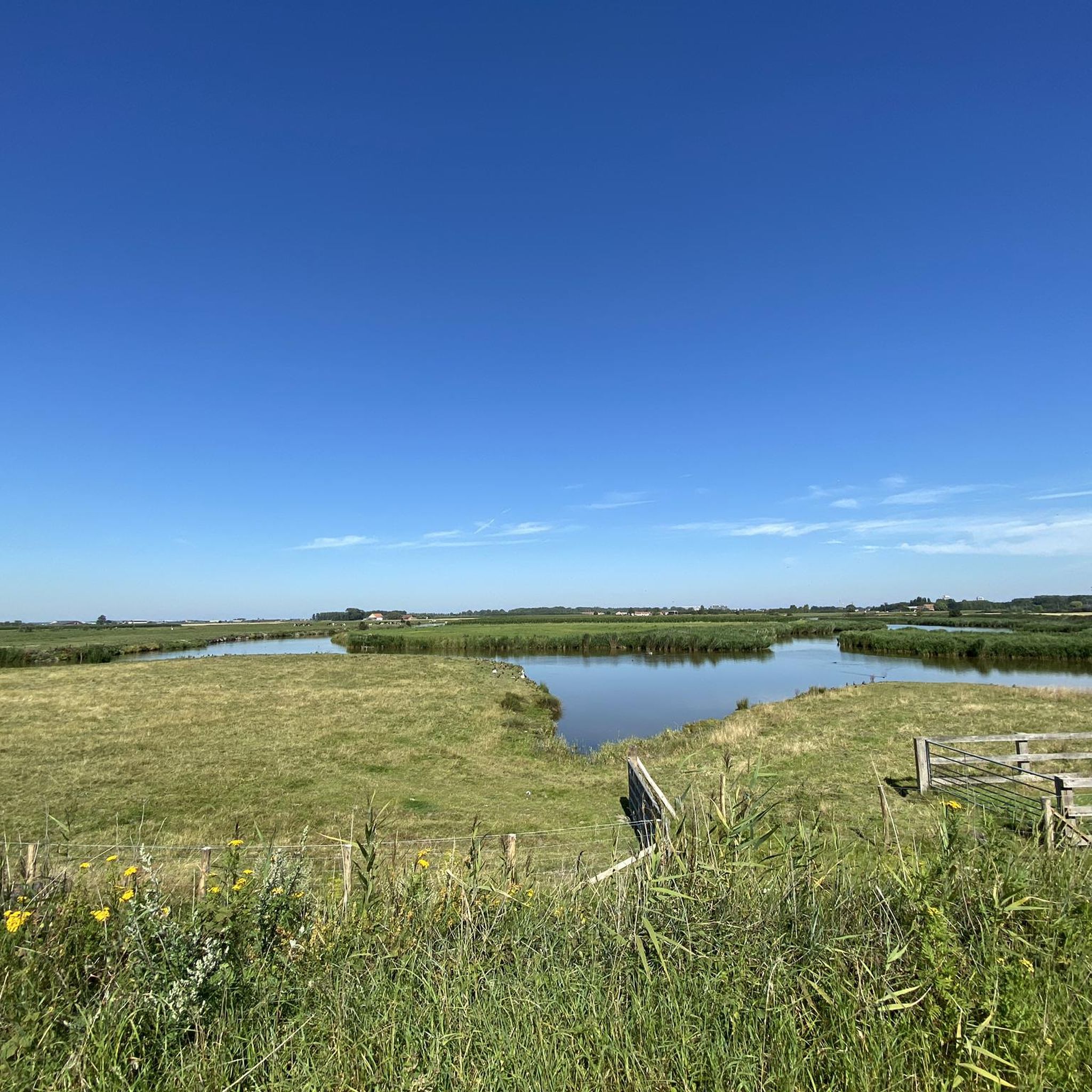
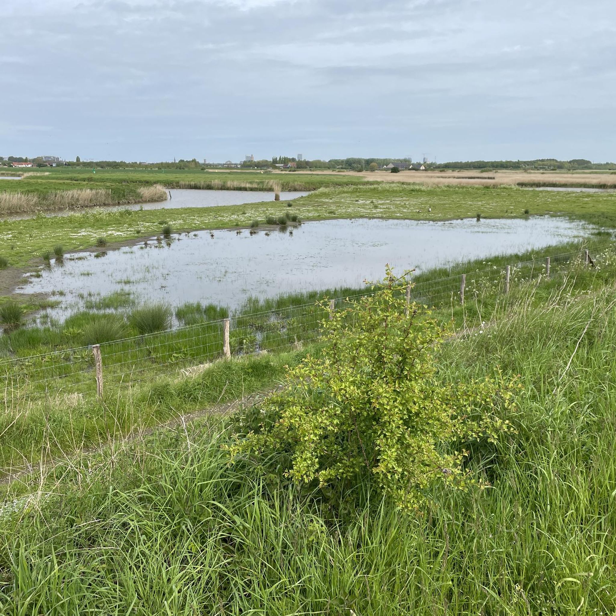
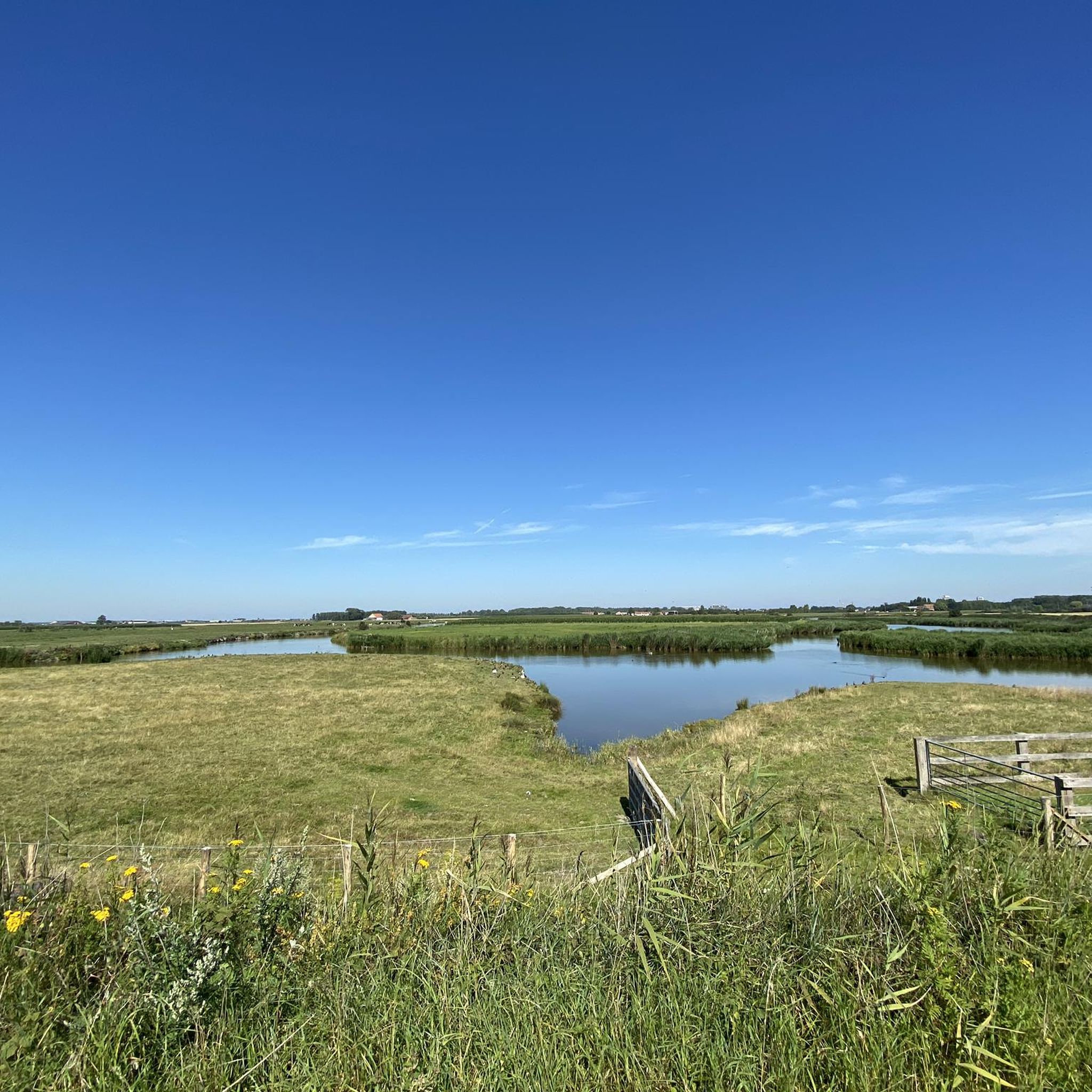
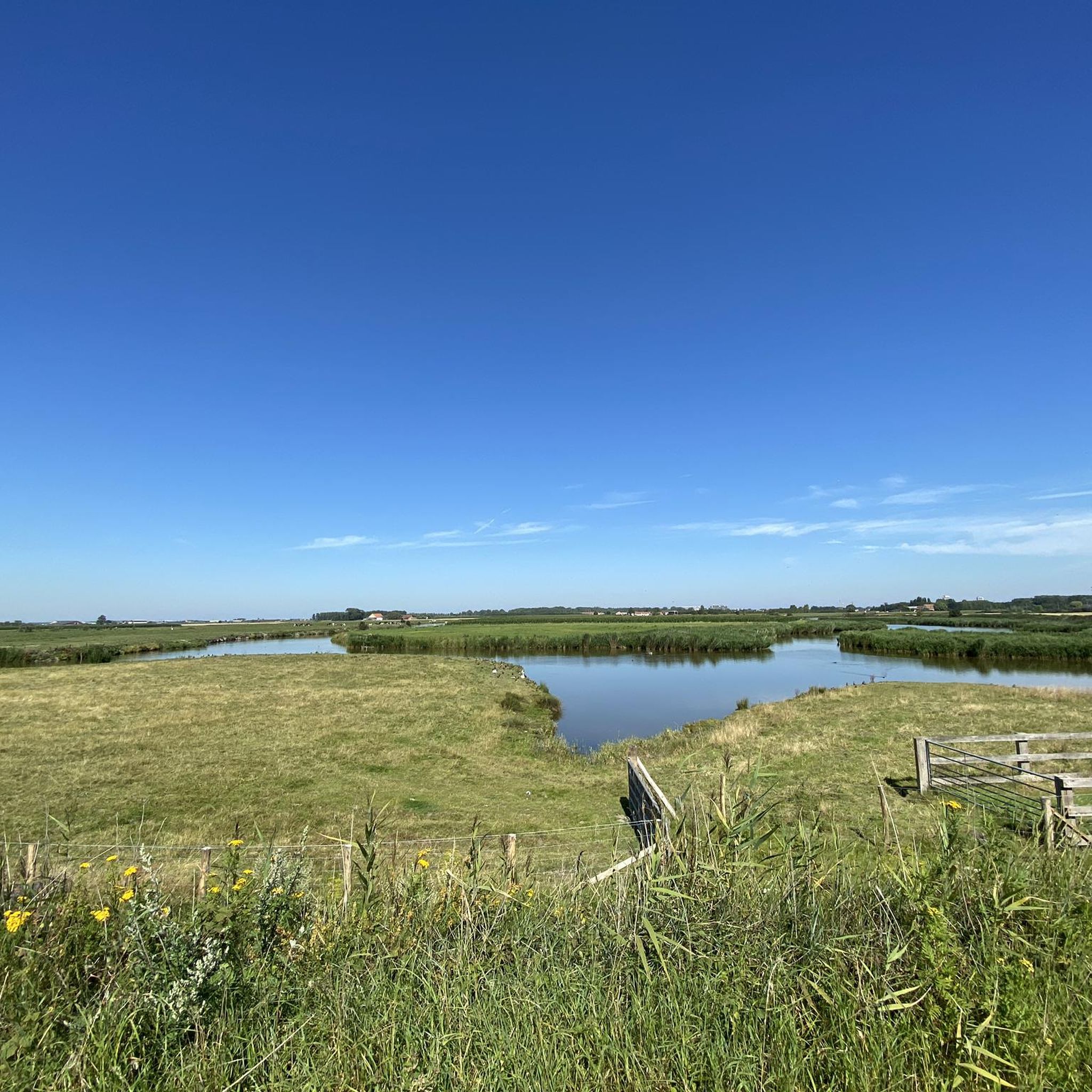
The Creek Area around Ostend is a unique wetland zone, with a network of creeks, marshes, reed beds and grasslands. These creeks were created by the natural silting up of rivers and other waterways. The area has a rich biodiversity, which makes it ideal for a nature walk.
0
0
Nice, well maintained petting zoo with a cheap café (snacks and drinks) and toilets (clean and well stocked) on site. There are donkeys, a pony, horses, cows, goats, sheep, a rabbit, chickens and peacocks. A nice, open play area with sand, slides and climbing frames. There is also an orchard.
1
0
The Oostendse Krekenwandelroute is a fantastic 14.9 km walk from Stene to Zandvoorde. Here you will discover the creek area, the Geuzenbos, the Grote Keignaert and the Zwaanhoek, rich in flora and fauna. The route, well marked with hexagonal signs, offers a serene experience along picturesque polders and waterways.
0
0

The Grote Keignaert is located right next to Zandvoorde and is a beautiful nature reserve. You can spot all kinds of birds there. In the area around the Keignaert you will also find fascinating flora, with a number of plants that only thrive in salty soils such as sea rush and salt rush. There are also a surprising number of butterflies to spot, such as the brown argus, the hay animal, and brown and orange sand eyes. A new cycle path was recently constructed between the Libellaan and the Grintweg, and a separate cycle path was also created along the Grintweg. Furthermore, the City of Ostend also constructed two platforms from where you can admire the beautiful, extensive Keignaertkreek. A walking path was constructed around the Zandvoorde skating track, so that local residents, joggers and walkers now have easier access to this nature zone. The asphalt surface between the skating track and the Kapittelstraat was completely removed. The zone became a grassland in which a grass path is mowed for walkers. This also applies to the connection between Libellaan and Keignaertlaan. There too, a grass path is being mowed for walkers in an ecologically managed grassland.
2
0

アウデンブルグでのの人気観光スポット

komootモバイルアプリでインスピレーションを得よう


さらに探索
他の地域の最高のハイキングを見てみましょう。
