ウンタージーマウのおすすめMTBライド
4.7
(69)
216
ライダー
22
ライド
ウンタージーマウ周辺には魅力的なマウンテンバイクルートがいくつもありますが、冒険を始めるにはその場所とルートを把握する必要があります。ここでは、komootが提供するウンタージーマウ周辺でのマウンテンバイクルートのコレクション全体を評価して選び抜いた、人気ルートをご紹介します。各ライドの詳細をぜひご覧ください。
最終更新日: 7月 11, 2026
4.5
(6)
37
ライダー
39.9km
02:35
440m
440m
中程度のマウンテンバイクライド. ある程度のフィットネスレベルが必要です。 高度なライディングスキルが必要です。
4.4
(9)
33
ライダー
35.5km
02:20
370m
370m
中程度のマウンテンバイクライド. ある程度のフィットネスレベルが必要です。 あらゆるスキルレベルに適しています。

無料新規登録
5.0
(12)
24
ライダー
26.1km
01:23
130m
140m
初級者向けMTBライド. あらゆるフィットネスレベルに適しています。 あらゆるスキルレベルに適しています。
5.0
(9)
22
ライダー
16.6km
00:52
70m
70m
初級者向けMTBライド. あらゆるフィットネスレベルに適しています。 あらゆるスキルレベルに適しています。
5.0
(3)
6
ライダー
23.6km
01:39
310m
310m
中程度のマウンテンバイクライド. ある程度のフィットネスレベルが必要です。 あらゆるスキルレベルに適しています。
さらに多くのルートや他のユーザーのおすすめ情報を確認できます。
無料新規登録
すでにアカウントをお持ちですか?
おすすめのツアーは他のkomootユーザーが実際に経験した何千ものアクティビティに基づいています。
無料アカウントで今日から始めよう
次の冒険が待っています。
ログインまたは登録
コミュニティからのヒント

It's always nice to receive such relics.
3
0
This castle also deserves attention.
2
0

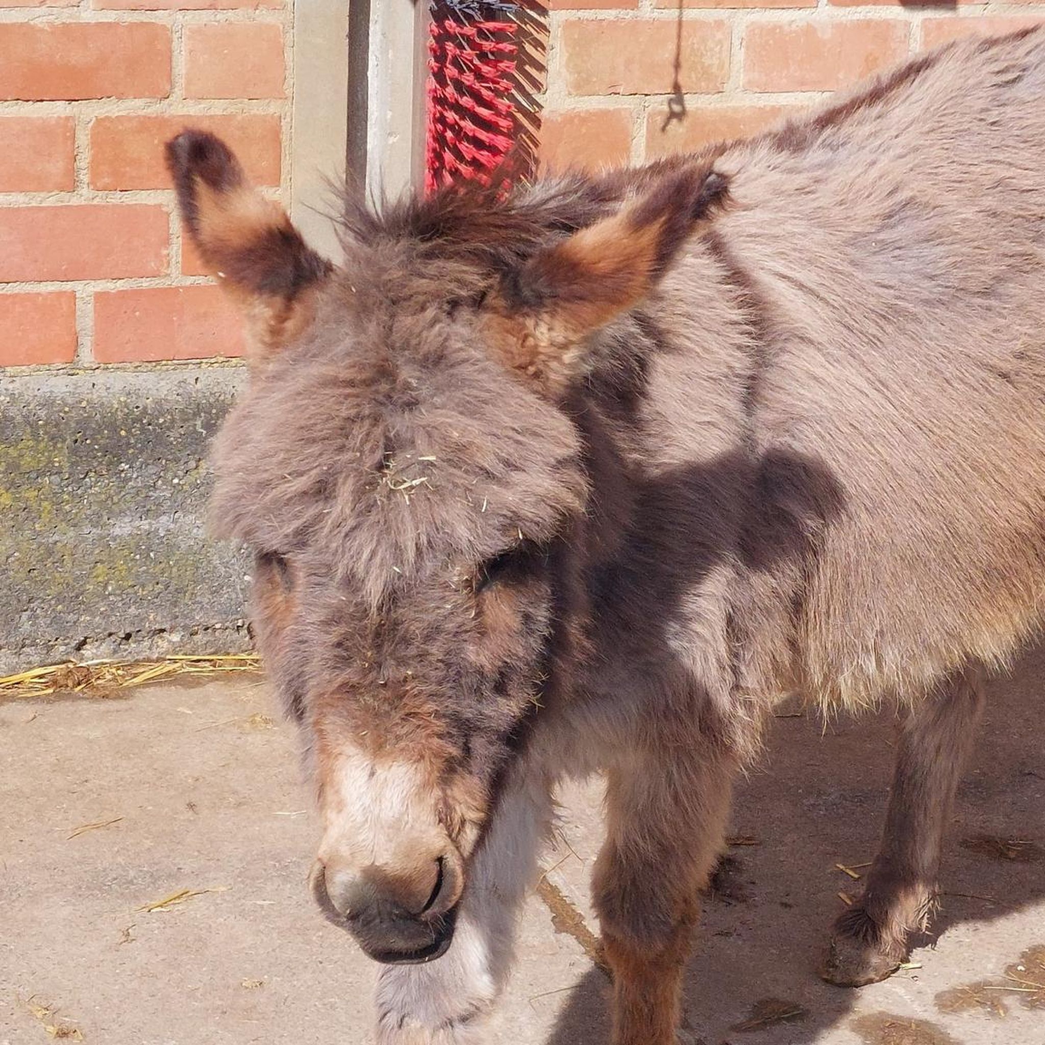
There's game here, and you can eat it right away on the seating area.
2
0

Scherneckは1225年に「Scherneke」として初めて言及されました。Itz川の水車が1253年に稼働していたことが証明されています。 Quelle: https://de.m.wikipedia.org/wiki/Scherneck_(Untersiemau) 現在、Scherneckの水車はカール水車(Carl Mühle)となっており、長年にわたり地域に高品質な小麦粉を供給してきた家族経営の企業で、伝統と最新技術を融合させています。現在水車は、Coburger Landの長い歴史を振り返ることができますが、この地域での水車の最初の言及は13世紀初頭にまで遡ることができ、水車は経済的に中心的な役割を果たしていました。
13
0
The draw well located here was donated by the Citizens' Association. The Citizens' Association has existed in Untersiemau for 50 years. Without its efforts, this well house would probably not exist. The flowerbed depicts the town's coat of arms.
14
0
The former moated castle, with its almost square floor plan measuring approximately 70 by 60 meters, is built on 190 cm thick outer foundation and ground floor walls and consists of a total of five floors. Two round towers rise at the northern corners of the building, their conical roofs slightly projecting above the hipped roof of the main building, thus lending the property a defensive character. Source: https://de.m.wikipedia.org/wiki/Wasserschloss_Untersiemau
13
0
Untersiemau Moated Castle stands in a park on the southern edge of the Upper Franconian municipality of Untersiemau in the Coburg district. The oldest parts of the building, also known as the Lower Castle, date back to the 13th century. The castle was expanded and rebuilt several times over the following centuries. The former moated castle, with its almost square floor plan measuring approximately 70 by 60 meters, is built on 190 cm thick outer foundation and ground floor walls and consists of a total of five floors. Two round towers rise at the northern corners of the building, their conical roofs slightly projecting above the hipped roof of the main building, lending the property a defensive character. Source: https://de.m.wikipedia.org/wiki/Wasserschloss_Untersiemau
13
0
This is where the "Devil on the Way of the Cross" station on the Siemau Legend Trail is located. The legend on the panel is worth reading and interesting. The view from the platform next door is worthwhile.
13
0
ウンタージーマウでのの人気観光スポット

komootモバイルアプリでインスピレーションを得よう


さらに探索
他の地域の最高のMTBトレイルを見てみましょう。
