ウンターミュンクハイムのおすすめウォーキング&ハイキングルート
4.5
(4917)
21,499
ハイカー
41
ハイキング
ウンターミュンクハイム 周辺でおすすめのハイキングやウォーキングを楽しんでいただけるように、このエリアの小径やルートを集めたkomootコレクション全体を見直しました。 以下で各ルートの詳細をご覧になり、ウンターミュンクハイム周辺の大自然を満喫する際の参考にしてください。
最終更新日: 7月 23, 2026
4.5
(6)
33
ハイカー
10.6km
02:57
170m
170m
中程度のハイキング. ある程度のフィットネスレベルが必要です。 進みやすいルートです。あらゆるスキルレベルに適しています。
5.0
(4)
44
ハイカー
5.72km
01:30
40m
40m
初級者向けハイキング. あらゆるフィットネスレベルに適しています。 進みやすいルートです。あらゆるスキルレベルに適しています。

無料新規登録
4.8
(4)
29
ハイカー
18.3km
04:55
170m
160m
中程度のハイキング. ある程度のフィットネスレベルが必要です。 進みやすいルートです。あらゆるスキルレベルに適しています。
4.4
(8)
22
ハイカー
8.02km
02:18
180m
180m
中程度のハイキング. ある程度のフィットネスレベルが必要です。 進みやすいルートです。あらゆるスキルレベルに適しています。
5.0
(2)
28
ハイカー
4.50km
01:11
40m
40m
初級者向けハイキング. あらゆるフィットネスレベルに適しています。 進みやすいルートです。あらゆるスキルレベルに適しています。
さらに多くのルートや他のユーザーのおすすめ情報を確認できます。
無料新規登録
すでにアカウントをお持ちですか?
おすすめのツアーは他のkomootユーザーが実際に経験した何千ものアクティビティに基づいています。
無料アカウントで今日から始めよう
次の冒険が待っています。
ログインまたは登録

コミュニティからのヒント

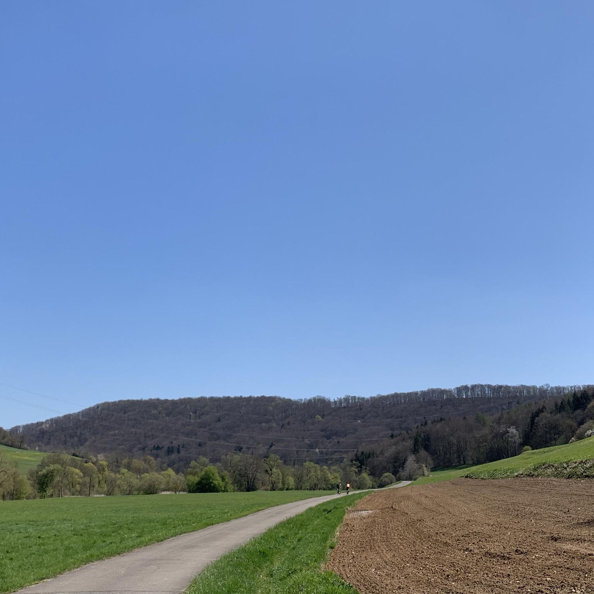
サイクリング中のコッハーの眺め
0
0


The stone bridge, with three segmental arches and one seating arch, is a former aqueduct, built in 1580 as part of the water pipeline from Eltershofen to Schwäbisch Hall (begun in 1575). It led along Brunnenweg (above Gelbingen, where it still exists) to the Teuchelsbrücke, named after the Teucheln, the wooden water pipes. Halfway up the Galgenberg, feeding the many patrician gardens, it ended at the Schwanenbrünnele at St. Michael's Church. The aqueduct was renovated in 1683 (indicated) and 1812 (the pointed arch: "In 1812, the central arch was completely rebuilt by J.D. Joz, Master of the Walls"). (StadtA Schwäb. Hall: List of Cultural Monuments of the City of Schwäb. Hall, as of October 1982, p. 419) https://www.haeuserlexikon.de/haeuserlexikon/gebaeudeverzeichnis/wettbach
1
0


Beautiful old bridge in a great landscape
1
0

ウンターミュンクハイムでのの人気観光スポット

komootモバイルアプリでインスピレーションを得よう


さらに探索
他の地域の最高のハイキングを見てみましょう。
