モンドラゴーネのおすすめウォーキング&ハイキングルート
4.3
(31)
127
ハイカー
17
ハイキング
モンドラゴーネ周辺でのハイキングは、景色を満喫するのに最適な手段のひとつですが、適切なハイキングルートを見つけることは簡単ではありません。 モンドラゴーネ周辺の人気ハイキング&ウォーキングコースを参考にすれば、行きたいルートをすぐに見つけられます。
最終更新日: 10月 18, 2026
3.5
(2)
3
ハイカー
15.8km
05:23
820m
820m
難しいハイキング. 標準以上のフィットネスレベルが必要です。 進みやすいルートです。あらゆるスキルレベルに適しています。
5.52km
01:28
50m
60m
This easy 3.4-mile hiking loop around the volcanic Lago di Falciano offers views of Falciano del Massico and rich wetland biodiversity.

5.0
(3)
21
ハイカー
13.7km
04:29
650m
650m
中程度のハイキング. ある程度のフィットネスレベルが必要です。 進みやすいルートです。あらゆるスキルレベルに適しています。
4.7
(3)
20
ハイカー
13.2km
04:19
610m
610m
中程度のハイキング. ある程度のフィットネスレベルが必要です。 進みやすいルートです。あらゆるスキルレベルに適しています。
5.0
(1)
10
ハイカー
5.58km
01:25
10m
10m
初級者向けハイキング. あらゆるフィットネスレベルに適しています。 進みやすいルートです。あらゆるスキルレベルに適しています。
さらに多くのルートや他のユーザーのおすすめ情報を確認できます。
すでにアカウントをお持ちですか?
おすすめのツアーは他のkomootユーザーが実際に経験した何千ものアクティビティに基づいています。
無料アカウントで今日から始めよう
次の冒険が待っています。



コミュニティからのヒント

A stretch of the Appian Way and some Roman remains are visible
1
0
There is a well-preserved stretch of Appia Antica. The park is not very large and is located in front of the cemetery of Mondragone. The archaeological site is not always open.
0
0

The climb to the Castle is quite steep but not very long, the last stretch is not easy to ride on a mountain bike. But the effort and the fatigue are rewarded by an exceptional view. To do ……
0
0

Monte Massiccio is part of the Campanian Sub-Apennine and with its 813 m above sea level it represents the highest relief in the area.
1
0

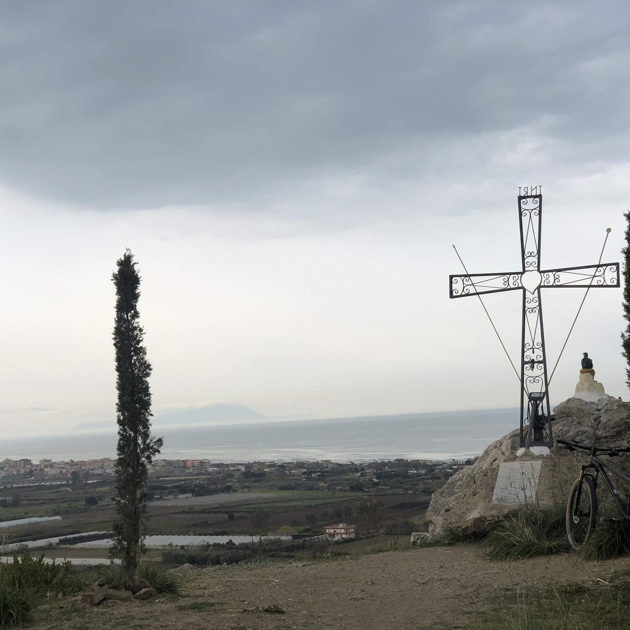
Nice panoramic point from which to observe the sea and Mondragone.
0
0

This medieval fortress is located at the top of Monte Petrino, at 412 metres. One of the hypotheses is that the fortress was created by the Longobards, then it was in possession of the Normans, Swabians, Angevins, and finally by the Aragonese.
2
0
Monte Petrino is a relief that is 412 meters high. At the top is the medieval fortress "Rocca Montis Dragonis". From here the view of the sea and of Mondragone is beautiful.
1
0
Falciano del Massico is an Italian municipality located at an altitude of 70 m. For naturalists, the WWF oasis of Monte Massico and the natural reserve of Lake Falciano are of interest. There is a railway station outside the town (Falciano-Mondragone-Carinola).
0
0
モンドラゴーネでのの人気観光スポット

komootモバイルアプリでインスピレーションを得よう


さらに探索
他の地域の最高のハイキングを見てみましょう。
