ティールハウプテンのおすすめライド
4.5
(455)
5,830
ライダー
26
ライド
ティールハウプテン周辺のロードバイクルートをお探しですか?ここでは、komootが提供するティールハウプテンでのロードバイクライドのコレクション全体を評価して選び抜いた人気ルートをご紹介します。各ライドの詳細をぜひご覧ください。
最終更新日: 10月 28, 2026
4.5
(2)
42
ライダー
40.5km
01:36
160m
160m
初級者向けロードバイクライド. 全般的に舗装状態が良好で走行しやすい道です。
5.0
(3)
34
ライダー
48.7km
02:07
380m
380m
中程度のロードライド. ある程度のフィットネスレベルが必要です。 全般的に舗装状態が良好で走行しやすい道です。

5.0
(2)
22
ライダー
40.2km
01:41
280m
280m
初級者向けロードバイクライド. 全般的に舗装状態が良好で走行しやすい道です。
5.0
(1)
13
ライダー
38.6km
01:35
250m
250m
初級者向けロードバイクライド. 全般的に舗装状態が良好で走行しやすい道です。
5.0
(1)
10
ライダー
58.8km
02:20
220m
220m
中程度のロードライド. ある程度のフィットネスレベルが必要です。 全般的に舗装状態が良好で走行しやすい道です。
さらに多くのルートや他のユーザーのおすすめ情報を確認できます。
すでにアカウントをお持ちですか?
おすすめのツアーは他のkomootユーザーが実際に経験した何千ものアクティビティに基づいています。
無料アカウントで今日から始めよう
次の冒険が待っています。
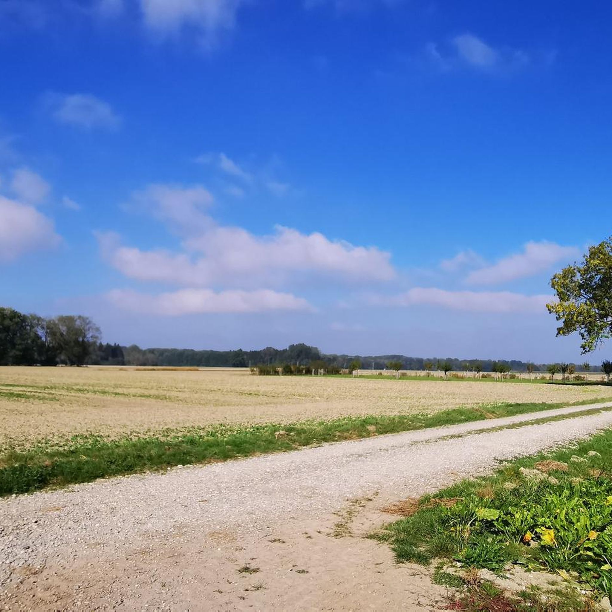
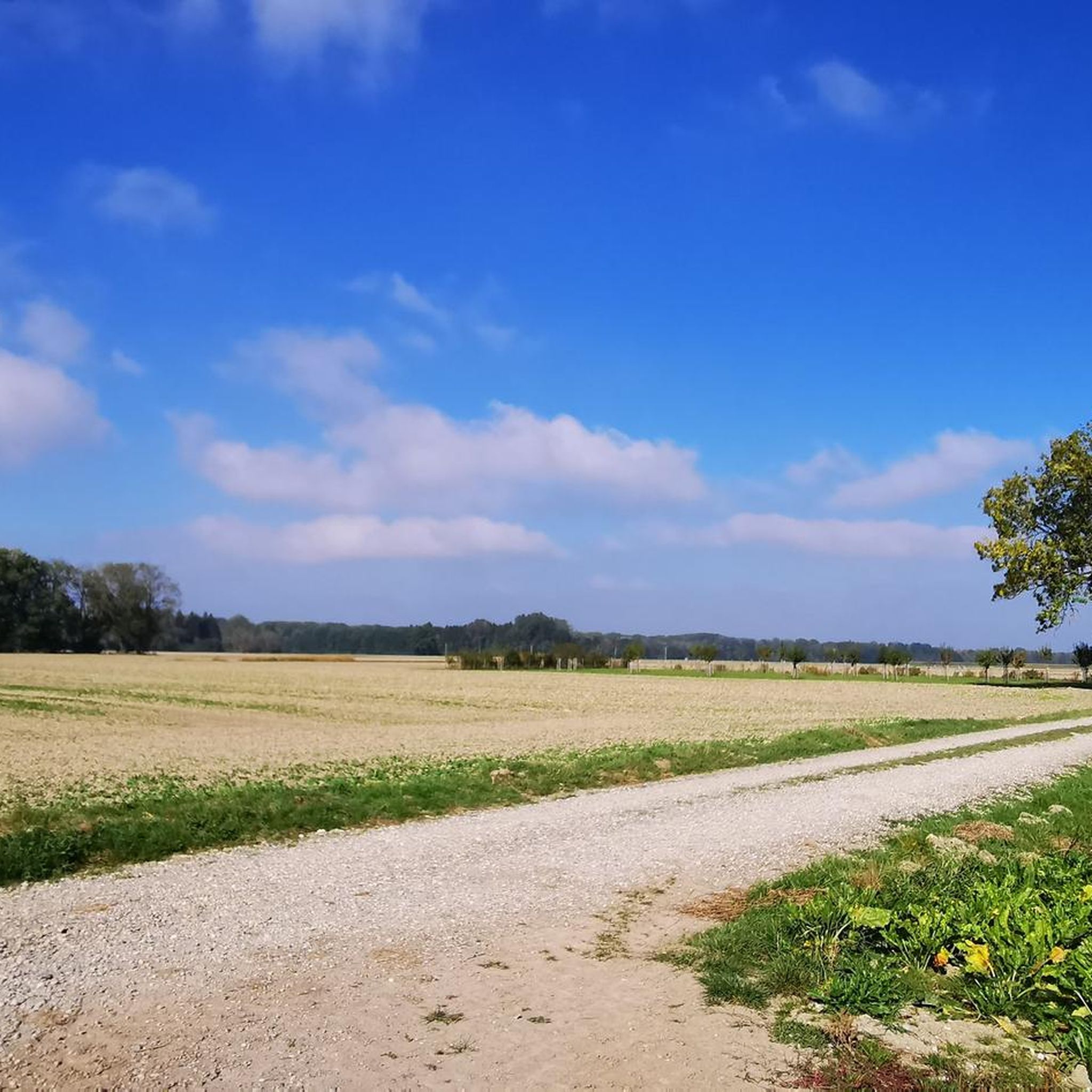
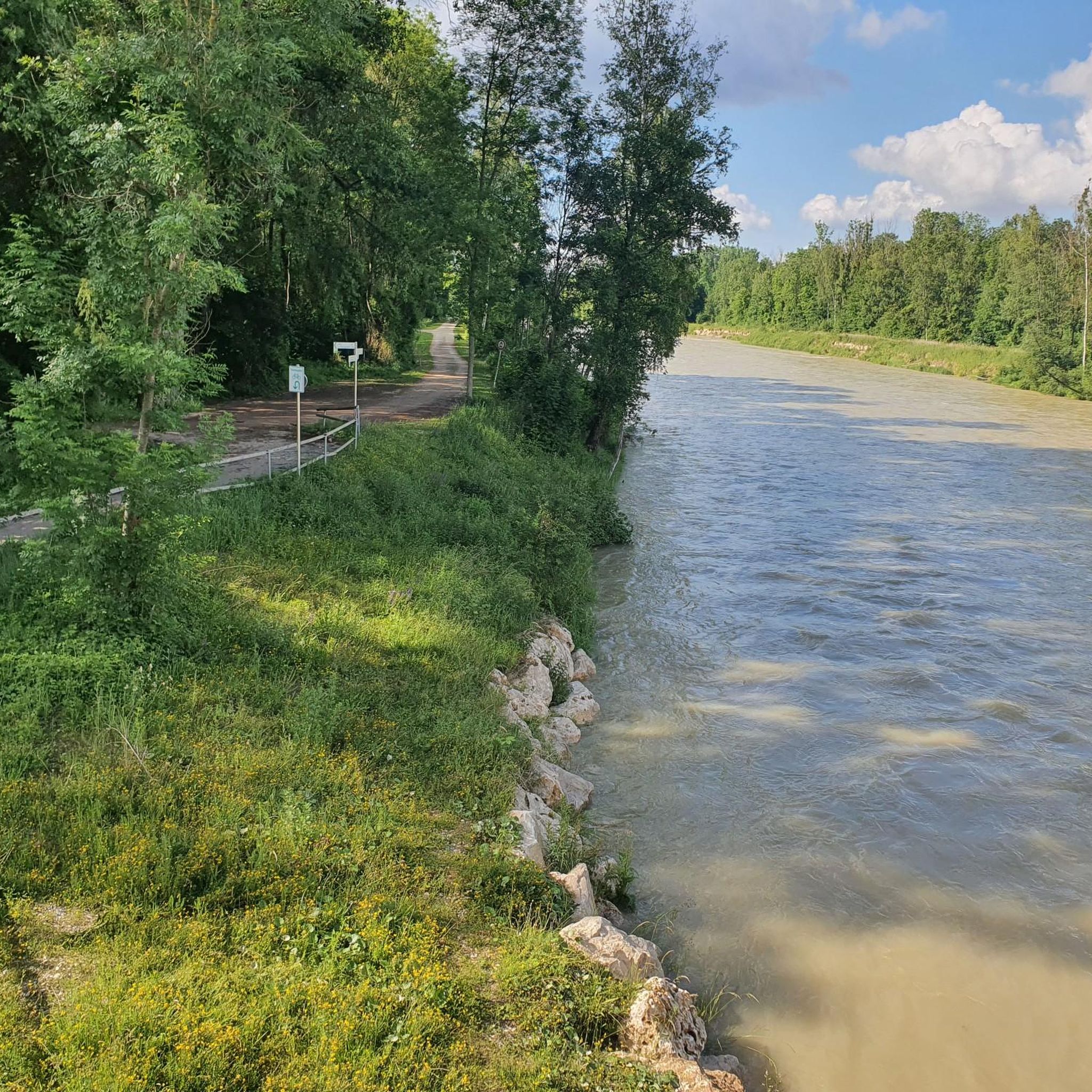
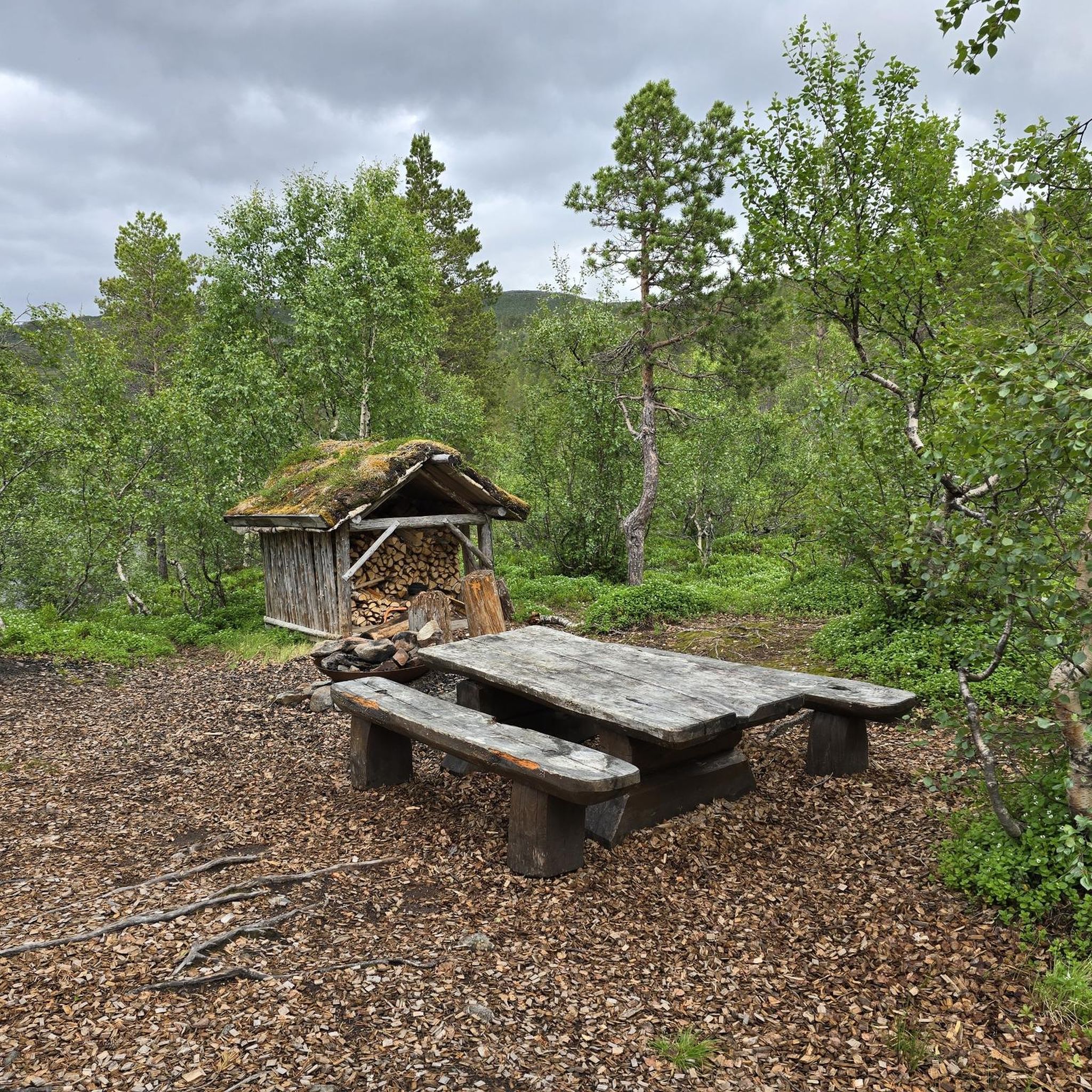
コミュニティからのヒント


Mandatory bike path along the road between Bayerdilling and Rain. It rolls along comfortably on good asphalt.
1
0
After the old nave was demolished in 1737, the current one was rebuilt, and the church was consecrated in 1743. Opposite the pulpit is a crucifix from the mid-18th century. The coat of arms of Abbot Rogerius Friesl of Kaisheim can be seen on the west gable. A cemetery surrounds the parish church. Source and further information: https://timm4.donauwoerth.de/sehenswertes/kath_pfarrkirche_st_martin-8826/
0
0

Neatly signposted district border. Here the districts of Aichach-Friedberg and Augsburg border each other.
0
0

Safe from Pessenburgheim to Holzheim because of the cycle path
0
0
From Bayerdilling to Pessenburgheim safe because of the cycle path
0
0
Connection Oberbernbach - Motzenhofen, towards Motzenhofen it goes a little downhill
1
0
flat track for easy running
0
0
ティールハウプテンでのの人気観光スポット

komootモバイルアプリでインスピレーションを得よう


さらに探索
他の地域の最高のロードサイクリングルートを見てみましょう。
