パニャッコのおすすめウォーキング&ハイキングルート
4.4
(898)
5,296
ハイカー
20
ハイキング
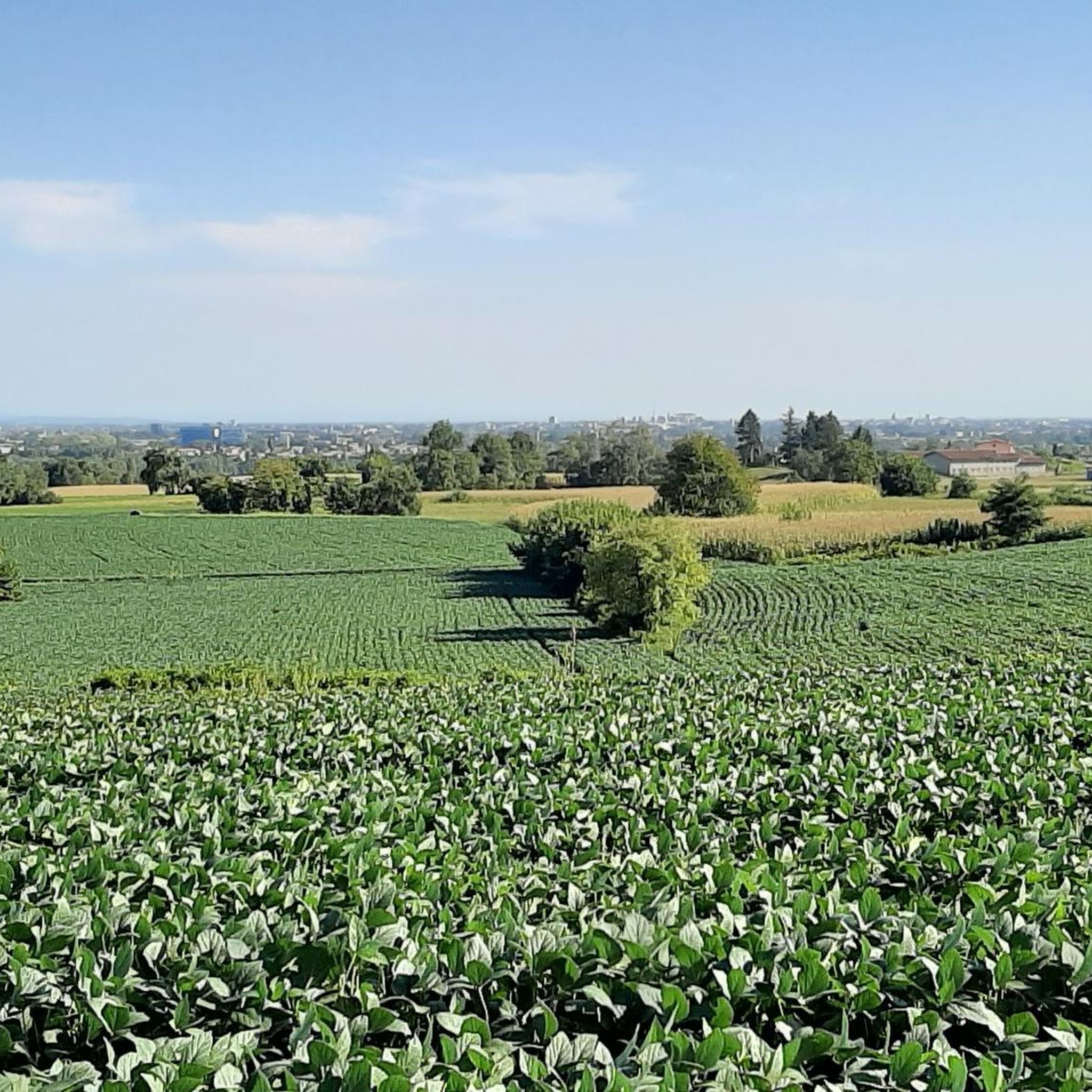
Pagnacco周辺のハイキングは、イタリアのフリウリ=ヴェネツィア・ジュリア州に位置し、緩やかな丘陵地帯、田舎道、河畔林を特徴とする景観が広がっています。この地域には、多様な植生の中をコルモル川が蛇行するコルモル渓谷が含まれます。トレイルはしばしば締まった砂利道に沿っており、開けた田園地帯や農耕地を通り抜けるアクセスしやすいルートを提供しています。
パニャッコ周辺のベストハイキングトレイル
- 最も人気のあるハイキングルートは、パニャッコ / パニャ発、コルモル渓谷~タルターニャ川ループで、距離は10.9km(6.7マイル)、所要時間は2時間49分です。この適度な難易度のルートは、コルモル川に沿って変化に富んだ自然の風景を巡ります。
- 地元のハイカーに人気のもう一つのルートは、パニャッコ / パニャ発、景色の良い砂利道ループで、距離は7.8km(4.9マイル)の適度な難易度のトレイルです。このルートからは、周囲の田園風景を眺めることができます。
- 地元のハイカーに愛されているのは、アル・ズック~廃線サイクリングロードループ(パニャッコ / パニャ発)です。この8.4km(5.2マイル)のトレイルは、砂利道と浸食されたアスファルトがユニークに混在する道を通り抜け、所要時間は約2時間13分です。
- パニャッコ周辺のハイキングは、田舎道、緩やかな丘陵地帯、そしてコルモル川とタルターニャ川沿いの河畔林が特徴です。このネットワークは、簡単な散策から適度な難易度の遠足まで、様々なレベルのハイカーに対応するオプションを提供しています。
- パニャッコのルートは、komootコミュニティから高く評価されており、800件以上のレビューで平均4.3つ星を獲得しています。4000人以上のハイカーがkomootを利用して、パニャッコの多様な地形を探索しています。
最終更新日: 8月 19, 2026
3.7
(9)
73
ハイカー
11.8km
03:03
50m
50m
中程度のハイキング. ある程度のフィットネスレベルが必要です。 進みやすいルートです。あらゆるスキルレベルに適しています。
4.7
(7)
53
ハイカー
11.0km
02:52
70m
70m
中程度のハイキング. ある程度のフィットネスレベルが必要です。 進みやすいルートです。あらゆるスキルレベルに適しています。

無料新規登録
3.8
(4)
17
ハイカー
7.86km
02:04
60m
60m
中程度のハイキング. ある程度のフィットネスレベルが必要です。 進みやすいルートです。あらゆるスキルレベルに適しています。
5.0
(3)
9
ハイカー
9.09km
02:24
80m
80m
中程度のハイキング. ある程度のフィットネスレベルが必要です。 進みやすいルートです。あらゆるスキルレベルに適しています。
5.0
(1)
6
ハイカー
中程度のハイキング. ある程度のフィットネスレベルが必要です。 進みやすいルートです。あらゆるスキルレベルに適しています。
さらに多くのルートや他のユーザーのおすすめ情報を確認できます。
無料新規登録
すでにアカウントをお持ちですか?
おすすめのツアーは他のkomootユーザーが実際に経験した何千ものアクティビティに基づいています。
無料アカウントで今日から始めよう
次の冒険が待っています。
ログインまたは登録
コミュニティからのヒント


This route is not in the province of Belluno!!! It's in the province of Udine
0
0

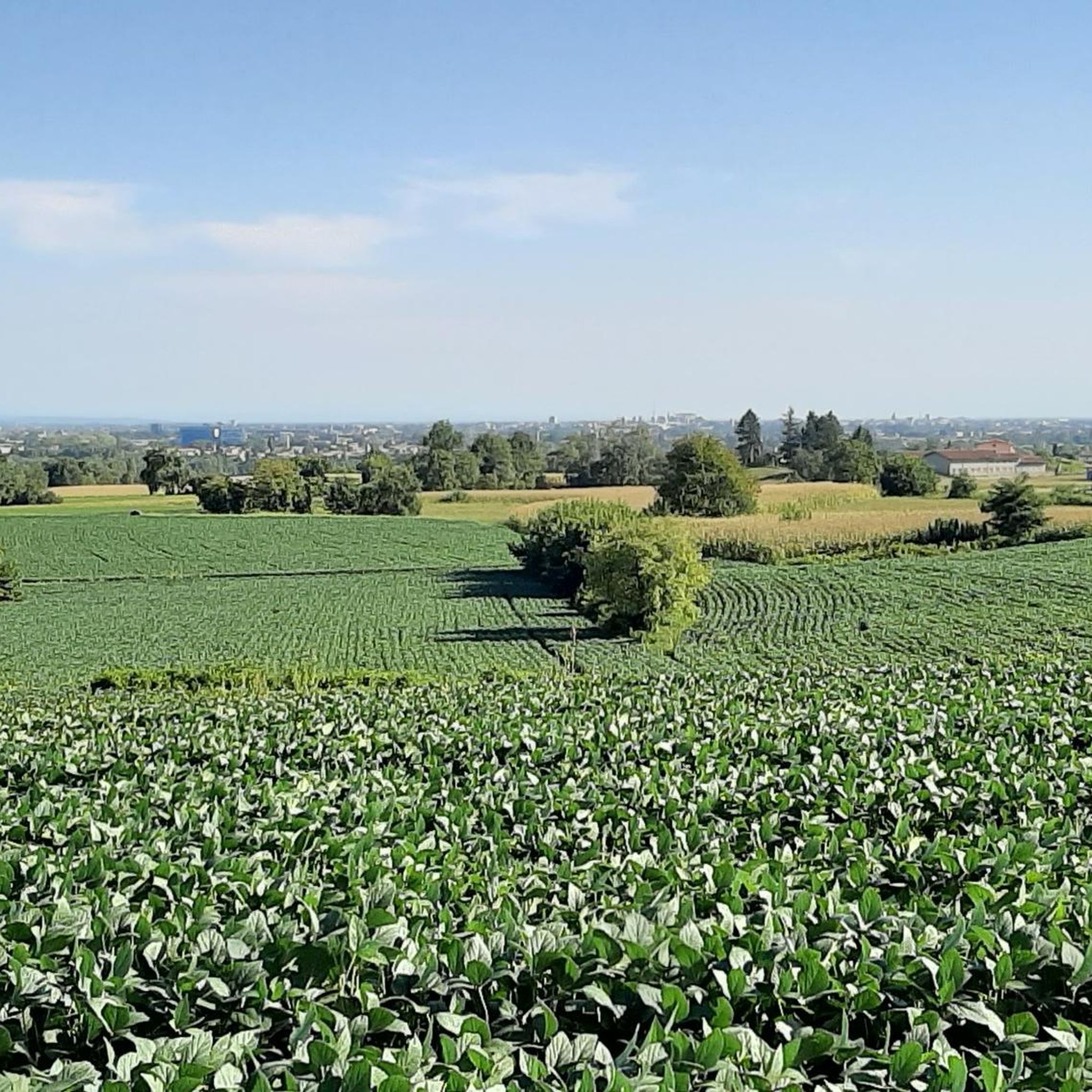
https://www.komoot.com/it-it/tour/1039026512 In@Natura, better known as the Ippovia, is a trail approximately 25 km long that follows the Cormôr stream (also known as the "Cormôr Valley") uphill from the Cormôr Park in Udine to its source near Buja. It's easily accessible by bicycle or on horseback (hence the name "Ippovia"), but its length is quite challenging on foot, so I've divided it into five stages to make it accessible to everyone. The first stage runs from the Cormôr Park in Udine to the Tavagnacco cemetery, with a round-trip distance of approximately 12 km. The route is very easy, but due to the presence of a couple of fords, it's not advisable to undertake it immediately after heavy rainfall.
0
0


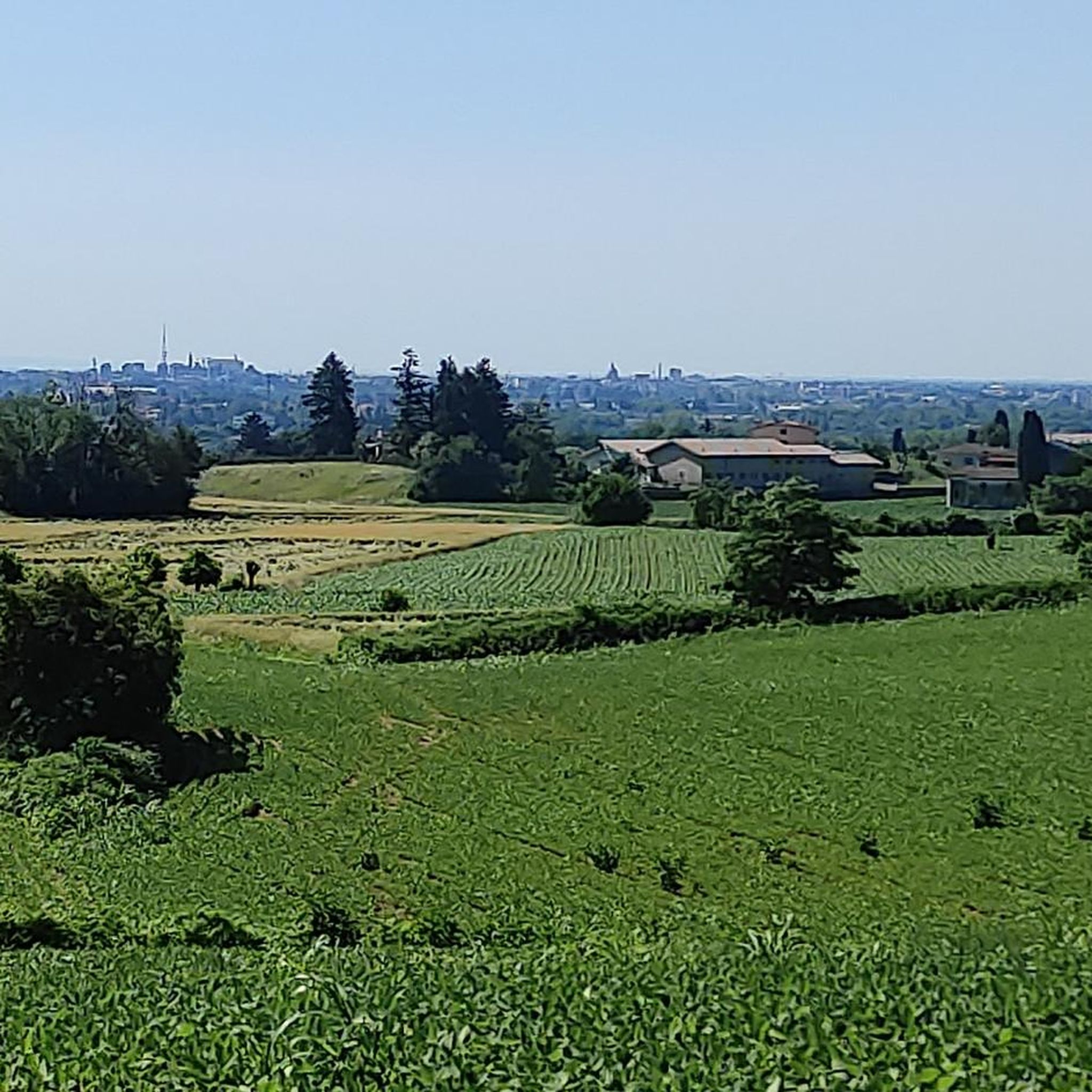
Or almost: a beautiful valley of vineyards, trees, and vegetable gardens, dominated by the village of Santa Margherita del Gruagno. The plain of S. Andrea, dominated by the profile of the church and the soaring bell tower of Santa Margherita, is reached by a stretch of paved road, the main connection between the noble residence of Castel Brazzà and the parish church. Enclosed by slopes cultivated with vineyards or covered with woods and flowery permanent meadows, at the end of the last glacial period the wide valley was occupied by an inter-moraine lake, which later evolved over time into a marshy plain. Reclaimed over the centuries and used for agriculture, a strip of hygrophilous forest survives on one edge, a type of vegetation suited to soils soaked in abundant water. https://www.comune.moruzzo.ud.it/vivere-il-comune/territorio/sentiero-turistico-e-naturalistico-stringher-tacoli/
0
0

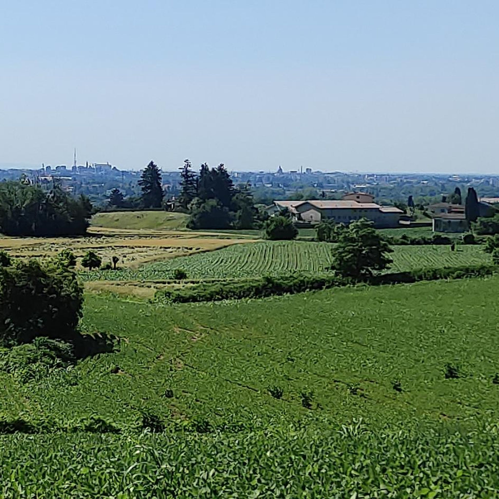
A short distance from the Cormor Horse Trail, a characteristic farmhouse, now home to the Peasant Museum and a restaurant
0
0

Technical ford on the Torre river.
0
0
パニャッコでのの人気観光スポット

komootモバイルアプリでインスピレーションを得よう


さらに探索
他の地域の最高のハイキングを見てみましょう。
