トイピッツのおすすめウォーキング&ハイキングルート
4.5
(5426)
17,881
ハイカー
91
ハイキング
トイピッツ 周辺でおすすめのハイキングやウォーキングを楽しんでいただけるように、このエリアの小径やルートを集めたkomootコレクション全体を見直しました。 以下で各ルートの詳細をご覧になり、トイピッツ周辺の大自然を満喫する際の参考にしてください。
最終更新日: 9月 16, 2026
4.8
(140)
409
ハイカー
13.0km
03:21
50m
50m
中程度のハイキング. ある程度のフィットネスレベルが必要です。 進みやすいルートです。あらゆるスキルレベルに適しています。
4.7
(64)
217
ハイカー
3.88km
01:00
20m
20m
初級者向けハイキング. あらゆるフィットネスレベルに適しています。 進みやすいルートです。あらゆるスキルレベルに適しています。

3.7
(57)
131
ハイカー
20.3km
05:12
80m
80m
難しいハイキング. 標準以上のフィットネスレベルが必要です。 進みやすいルートです。あらゆるスキルレベルに適しています。
4.8
(9)
28
ハイカー
9.97km
02:35
50m
50m
中程度のハイキング. ある程度のフィットネスレベルが必要です。 進みやすいルートです。あらゆるスキルレベルに適しています。
4.7
(13)
33
ハイカー
5.95km
01:32
30m
30m
初級者向けハイキング. あらゆるフィットネスレベルに適しています。 進みやすいルートです。あらゆるスキルレベルに適しています。
さらに多くのルートや他のユーザーのおすすめ情報を確認できます。
すでにアカウントをお持ちですか?
おすすめのツアーは他のkomootユーザーが実際に経験した何千ものアクティビティに基づいています。
無料アカウントで今日から始めよう
次の冒険が待っています。


コミュニティからのヒント


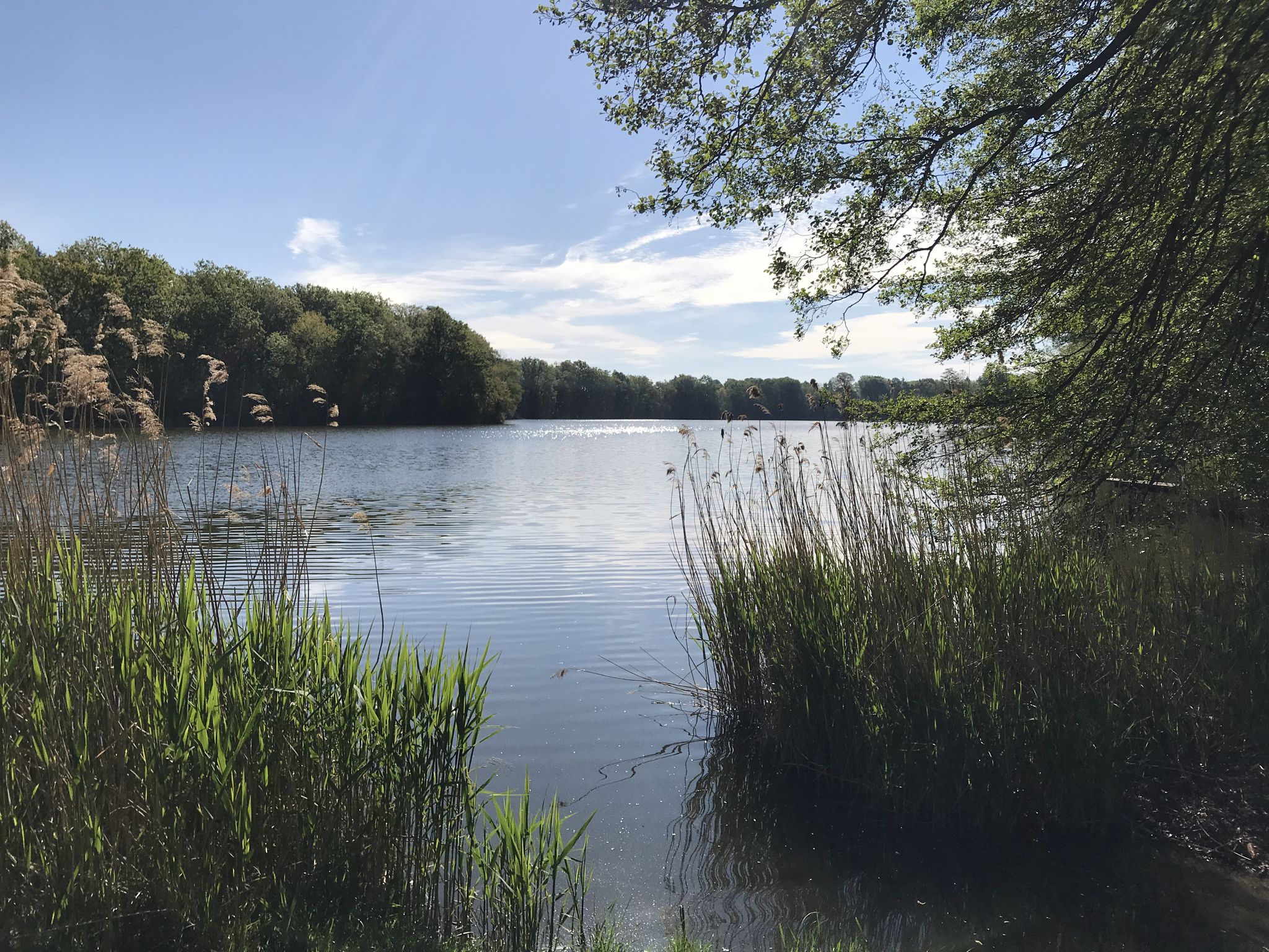
From the bridge path there is a very good overview of the eastern part of Lake Teupitz
0
0

At the southern tip of Lake Briesensee, the landscape almost looks like a moor. Very original, wild and beautiful.
0
0

I didn't go into the water because it looked so murky.
0
0

A great idea to take the cycle path a little way over the lake! There is a wonderful view from here!
0
0


For a little break in between
0
0

The Tornower See is near Tornow, a little south of Teupitz. There is a nature trail. Very nice paths along the bank and in the forest. There are benches and rest areas.
2
0
トイピッツでのの人気観光スポット

komootモバイルアプリでインスピレーションを得よう


さらに探索
他の地域の最高のハイキングを見てみましょう。
