エドロのおすすめランニングルート
4.5
(21)
1,076
ランナー
25
ランニング
エドロでランニングを楽しめば、このエリアをより深く知ることができます。ランニングに適した美しいルートが見つかるように、komootがエドロでのルートのコレクション全体を評価して選び抜いた、人気ランニングトレイルをご紹介します。ルートをクリックして詳細を表示し、他のユーザーがアップロードした役立つ情報や写真を閲覧しましょう。
最終更新日: 10月 9, 2026
4.7
(3)
45
ランナー
10.4km
01:05
100m
100m
中程度のジョギング. ある程度のフィットネスレベルが必要です。 全般的に舗装された状態です。あらゆるスキルレベルに適しています。
13
ランナー
8.86km
01:03
250m
250m
中程度のジョギング. ある程度のフィットネスレベルが必要です。 全般的に舗装された状態です。あらゆるスキルレベルに適しています。

14
ランナー
20.3km
03:11
1,260m
1,260m
難しいジョギング. 標準以上のフィットネスレベルが必要です。 安定して歩行できる技術、丈夫な靴、高標高地での登山経験が必要です。
14
ランナー
10.8km
01:08
110m
110m
中程度のジョギング. ある程度のフィットネスレベルが必要です。 全般的に舗装された状態です。あらゆるスキルレベルに適しています。
4.0
(1)
16
ランナー
23.3km
02:38
400m
400m
難しいジョギング. 標準以上のフィットネスレベルが必要です。 全般的に舗装された状態です。あらゆるスキルレベルに適しています。
さらに多くのルートや他のユーザーのおすすめ情報を確認できます。
すでにアカウントをお持ちですか?
おすすめのツアーは他のkomootユーザーが実際に経験した何千ものアクティビティに基づいています。
無料アカウントで今日から始めよう
次の冒険が待っています。
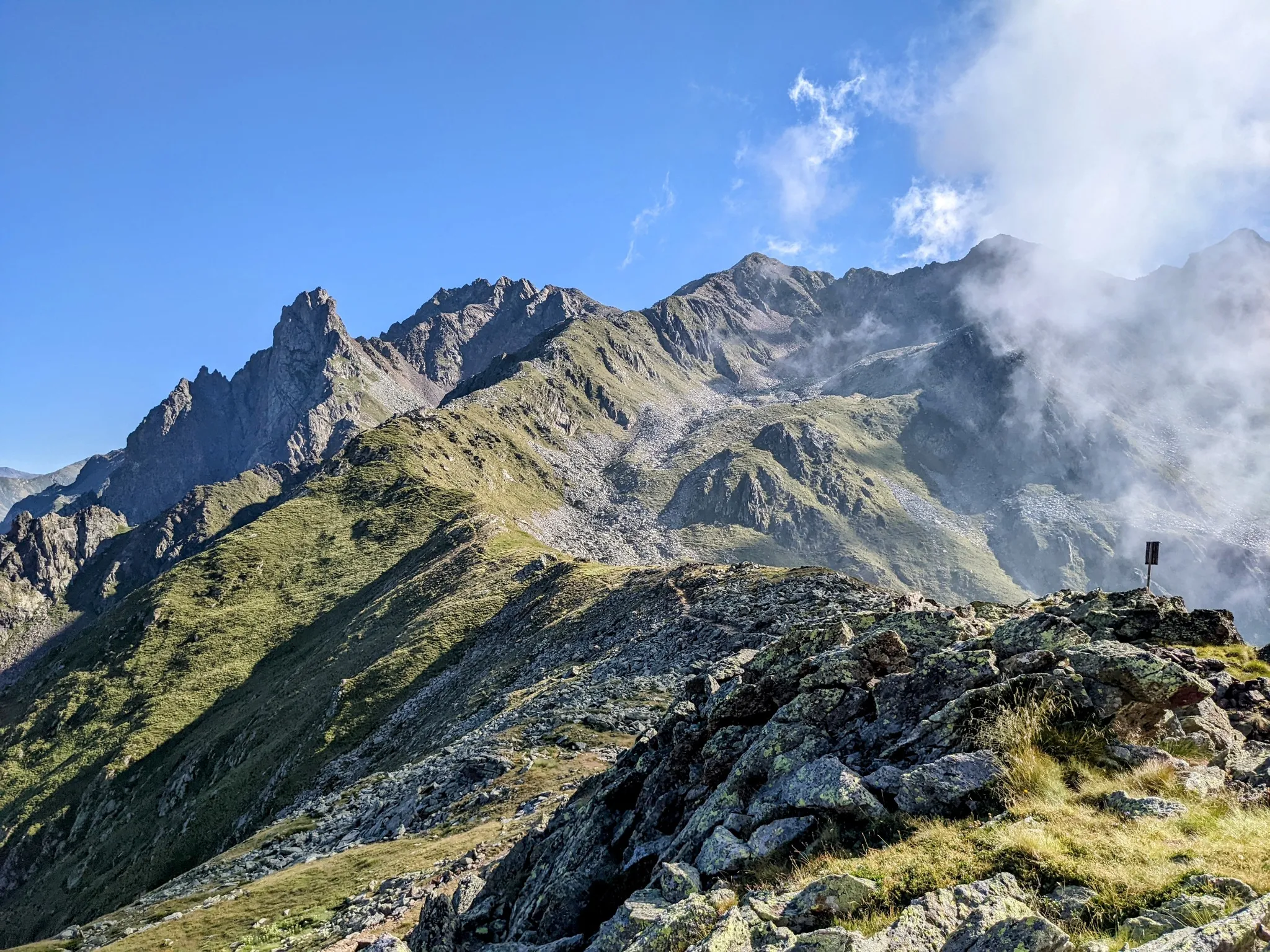
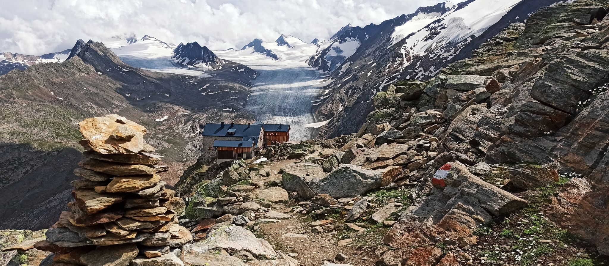
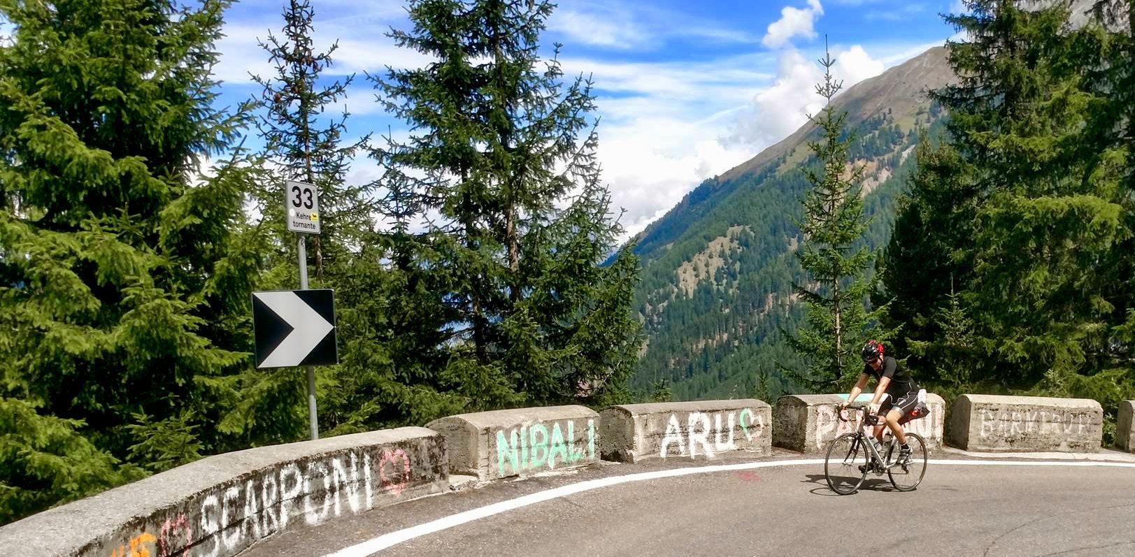
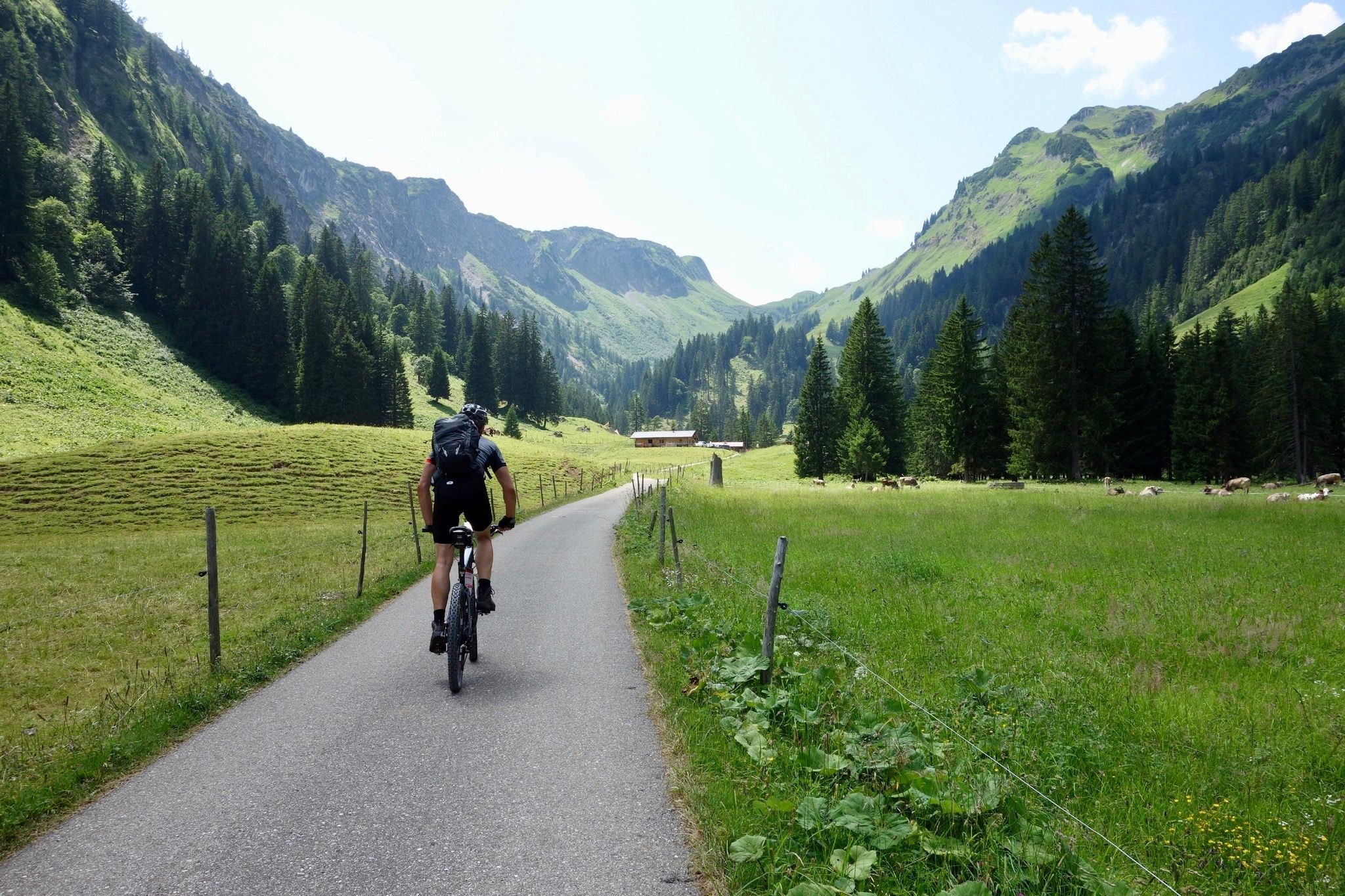


エドロでのの他の冒険


コミュニティからのヒント

A village in the upper Camonica Valley at the confluence of the Oglio and Ogliolo rivers. Tonale and Val di Sole to the east, Aprica and Valtellina to the west, and Mortirolo to the north.
0
0

historic bridge of Edolo, from which you take the cycle/pedestrian path to Ponte di Legno/Tonale
0
0

In this place you can still see the remains of the “Third Line”, a system of bunkers and trenches that represented the last fortified defense of the Camonica Valley during the First World War. Built to block the Austrian advance towards Brescia, it was constructed between 1916 and 1918 with kilometers of trenches, roads and military mule tracks, as well as impressive works of war engineering, much of which are still visible today.
1
0

The last stretch to reach the cross must be done on foot or carrying the bike on your shoulder, but the view is certainly worth it. Beautiful view even if (obviously) it's very windy at the top. In mid-June there was still some residual snow, so I recommend going there from July onwards.
1
0

The town of Sonico stands on a hill, on the left bank of the Oglio, on the banks of the Valli Grandi stream. All around, on the slope to the east as in the stretches of plain, you can see ancient fields, meadows, copses and centuries-old fruit-bearing chestnut groves. In the medieval historic center with Piazza IV Novembre there are towers and houses of the Federici di Sonico, the parish church of San Lorenzo, the small church of San Giuseppe, while to the north, just beyond the Pradella district, stands the sanctuary of the Madonna known as Pradella . In the second half of the 20th century, urban development took place especially on the slope sloping down towards the state road, along its variants.
1
0
Edolo is the "capital" of the Camonica valley, the gateway to the upper valley where all types of outdoor sports are practiced, from alpine skiing in the winter months in the Pontedilegno-Tonale area, to mountaineering and hiking routes on the Adamello group or in the Stelvio national park. Edolo, with the neighboring Sonico, is a starting point for various hiking and mountaineering itineraries also in the middle Val Camonica on the western side of the Adamello group or in the Orobie Bresciane and Bergamo areas, on the western side of the valley.
2
0
The Sonico powder magazine was designed in 1906 and it was especially during the Second World War that its history became tragically important. The partisans from Mortirolo carried out numerous incursions to understand the actual presence of weapons, explosives and ammunition. On 28 March 1945 some partisans were instructed to go down to warn the population, through the parish priests of Garda and Rino, that the allies were about to bomb the powder magazine where the German war arsenal was kept. Around 1pm on March 29, 1945, the powder magazine was bombed. Since then the skeleton of what was the place of death has remained on the site. Now the powder magazine has been restored, leaving the skeleton in the open air as it has been seen for 70 years by those passing by on the road between Sonico and Rino. On Republic Day it was returned to history and memory, entering the great circuit of places of remembrance.
2
1
Malonno is a medieval center that still retains numerous traces of its past: towers, stately buildings such as Palazzo Celeri-Martinengo (15th-18th century), the smelting furnace and the remains of the ancient aqueduct. The town stands on the first slopes of the western side of the valley, which here begins to widen, distributed in numerous hamlets with a solid agricultural tradition located on various hills and terraces raised on the course of the Oglio river.
0
0

komootモバイルアプリでインスピレーションを得よう


さらに探索
他の地域の最高のランニングトレイル & ルートを見てみましょう。
