スーシーのおすすめウォーキング&ハイキングルート
4.4
(474)
3,973
ハイカー
131
ハイキング
スーシー周辺でのハイキングは、景色を満喫するのに最適な手段のひとつですが、適切なハイキングルートを見つけることは簡単ではありません。 スーシー周辺の人気ハイキング&ウォーキングコースを参考にすれば、行きたいルートをすぐに見つけられます。
最終更新日: 11月 7, 2026
3.5
(2)
4
ハイカー
9.95km
02:40
120m
120m
4.0
(1)
6
ハイカー
3.69km
00:56
10m
10m
初級者向けハイキング. 歩きやすい道です。

3.0
(1)
10
ハイカー
6.25km
01:39
60m
60m
初級者向けハイキング. 歩きやすい道です。
3.0
(1)
7
ハイカー
9.92km
02:45
180m
180m
中程度のハイキング. ある程度のフィットネスレベルが必要です。 歩きやすい道です。
5.0
(2)
9
ハイカー
8.64km
02:15
60m
60m
中程度のハイキング. ある程度のフィットネスレベルが必要です。 歩きやすい道です。
さらに多くのルートや他のユーザーのおすすめ情報を確認できます。
すでにアカウントをお持ちですか?
おすすめのツアーは他のkomootユーザーが実際に経験した何千ものアクティビティに基づいています。
無料アカウントで今日から始めよう
次の冒険が待っています。

コミュニティからのヒント

オルブは、訪問者に2つの異なる長さの観光ルートを提供しています。これらのルートに沿って、歴史的な町を包括的に見ることができます。 黄色の周回ルート(約45分):市内中心部の中心部を散策するのに最適なルートです。歴史的なマルシェ広場(Place du Marché)から始まり、パノラマの景色を楽しめる城のエスプラナード、古い城壁、歴史的な修道院へと続きます。 赤い周回ルート(約1時間半):オルブを巡るこの長い市内ルートは、都会的な魅力と川沿いの自然を結びつけており、運が良ければカワセミを観察できるかもしれません。
0
0
オルブは、訪問者に2つの異なる長さの見学ルートを提供しています。黄色いルート(約45分):街の中心部を散策するのに理想的です。歴史的なマルシェ広場(Place du Marché)から始まり、パノラマの景色を望む城のエスプラナード、古い城壁沿いの道、そして歴史的な修道院へと続きます。 赤いルート(約1.5時間):オルブのこのより長い市内ルートは、都会的な魅力と川沿いの自然を結びつけており、運が良ければカワセミを観察できるかもしれません。
0
0


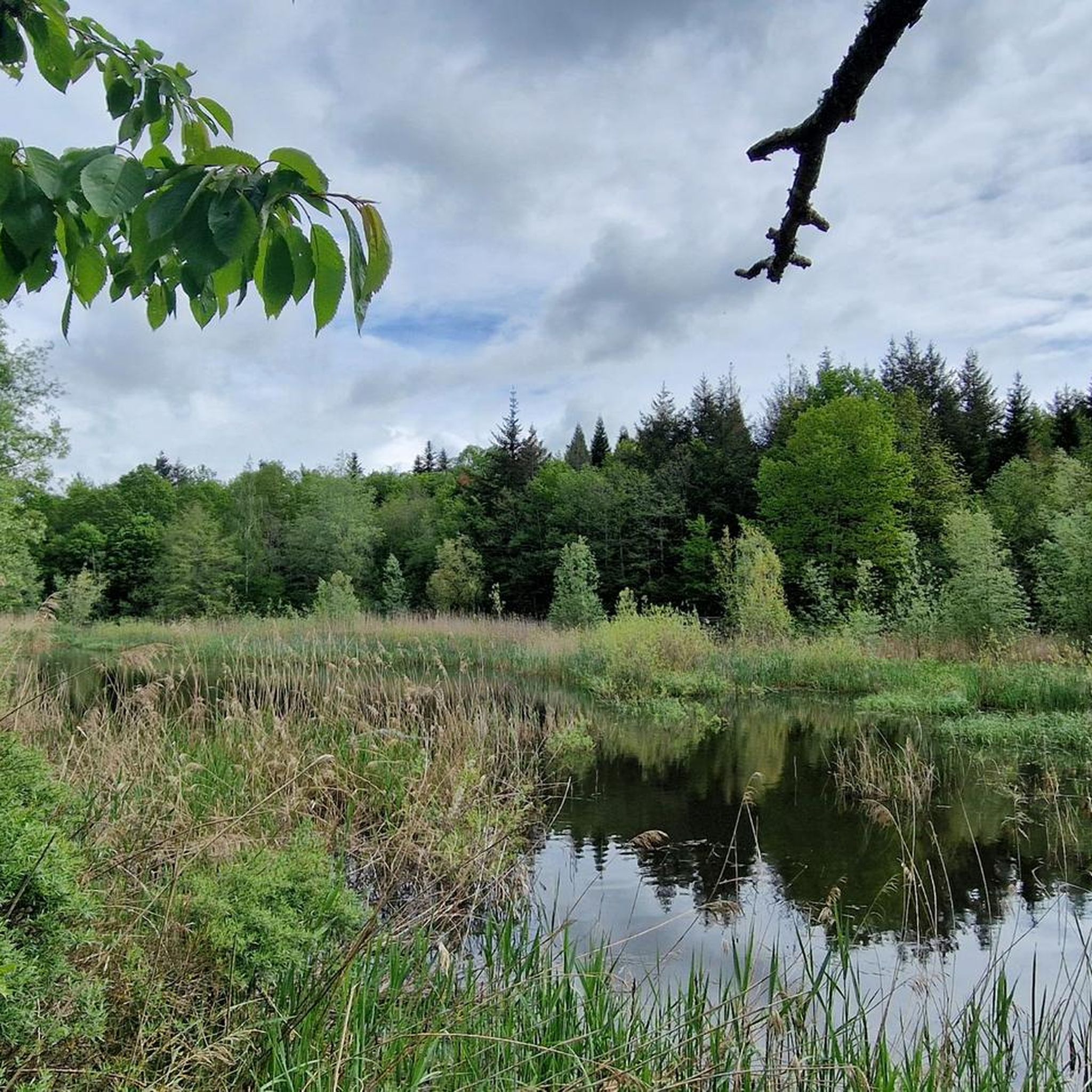
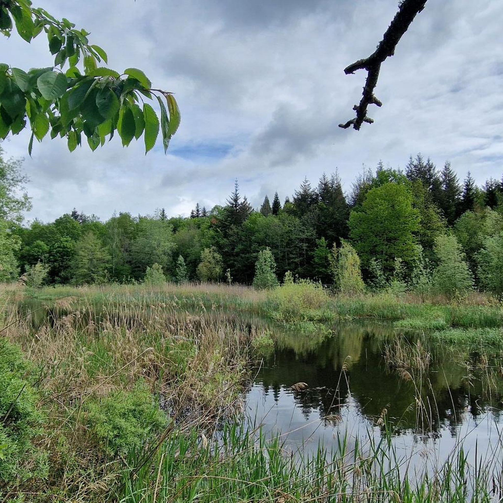
The Étang du Buron is a small, picturesque pond in the Vaud Jura, above Yverdon-les-Bains. Originally created artificially, it served to store water for agriculture. Today, it is a tranquil natural setting with high ecological value. The pond is surrounded by wet meadows, open forests, and species-rich riparian zones. Amphibians, dragonflies, and numerous birds use the area as a habitat. The Étang du Buron is easily accessible for walkers and cyclists and is a popular local recreation destination. Information boards and well-maintained paths invite you to explore nature in a relaxed atmosphere.
0
0
The Creux de Terre near Yverdon-les-Bains is an impressive karst sinkhole and also a significant nature reserve. The basin was formed by geological processes in which limestone sank, forming a funnel-shaped basin. Today, the area is home to moist meadows, ponds, small forests, and rich biodiversity. Amphibians such as frogs, toads, and newts find ideal living conditions here. Numerous bird species also breed or rest in the reserve. Walking trails with information panels lead through the basin and explain its geology, flora, and fauna. The Creux de Terre is easily accessible from nearby Yverdon.
0
1
The Creux de Terre near Yverdon-les-Bains is an impressive karst sinkhole and also a significant nature reserve. The basin was formed by geological processes in which limestone sank, forming a funnel-shaped basin. Today, the area is home to moist meadows, ponds, small forests, and rich biodiversity. Amphibians such as frogs, toads, and newts find ideal living conditions here. Numerous bird species also breed or rest in the reserve. Walking trails with information panels lead through the basin and explain its geology, flora, and fauna. The Creux de Terre is easily accessible from nearby Yverdon.
0
0


komootモバイルアプリでインスピレーションを得よう


さらに探索
他の地域の最高のハイキングを見てみましょう。
