ズビンゲンのおすすめウォーキング&ハイキングルート
4.3
(445)
3,754
ハイカー
23
ハイキング
ズビンゲン周辺でのハイキングは、景色を満喫するのに最適な手段のひとつですが、適切なハイキングルートを見つけることは簡単ではありません。 ズビンゲン周辺の人気ハイキング&ウォーキングコースを参考にすれば、行きたいルートをすぐに見つけられます。
最終更新日: 10月 28, 2026
2
ハイカー
8.60km
02:14
60m
60m
中程度のハイキング. ある程度のフィットネスレベルが必要です。 歩きやすい道です。
5
ハイカー
8.86km
02:18
50m
50m
中程度のハイキング. ある程度のフィットネスレベルが必要です。 歩きやすい道です。

1
ハイカー
11.7km
03:02
70m
70m
中程度のハイキング. ある程度のフィットネスレベルが必要です。 歩きやすい道です。
5
ハイカー
6.05km
01:32
10m
10m
初級者向けハイキング. 歩きやすい道です。
3
ハイカー
7.16km
01:52
50m
50m
初級者向けハイキング. 歩きやすい道です。
さらに多くのルートや他のユーザーのおすすめ情報を確認できます。
すでにアカウントをお持ちですか?
おすすめのツアーは他のkomootユーザーが実際に経験した何千ものアクティビティに基づいています。
無料アカウントで今日から始めよう
次の冒険が待っています。

コミュニティからのヒント

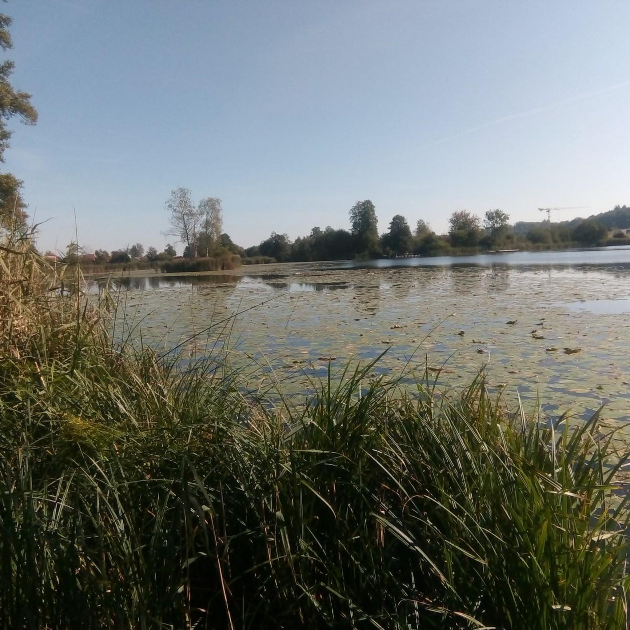
申し訳ありませんが、画像はインクヴィル湖を示していますが、説明には残念ながらブルゲシュ湖と記載されています。修正をお願いします。
0
0

Here you can make yourself comfortable and relax by the lake
0
0

Bookcase in Subingen, At the end of a hike you can still enjoy the last rays of sunshine, take a book and switch off from everyday life.
0
0

Nice trail, unfortunately hampered by some fallen trees.
0
0

Nice trail through a beautiful forest. There was even a witch ring made of mushrooms. Unfortunately I didn't meet a witch.
0
0
Inkwilersee is located on Urzeitenweg, half of which is in the canton of Solothurn and the other half in the canton of Bern. Idyllically located at 461 m above sea level
4
1

Always nice here. It also has a hidden snap emergency station. But you have to look for it yourself, it is not an emergency station in the sun ...
0
1

komootモバイルアプリでインスピレーションを得よう


さらに探索
他の地域の最高のハイキングを見てみましょう。
